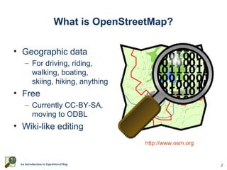
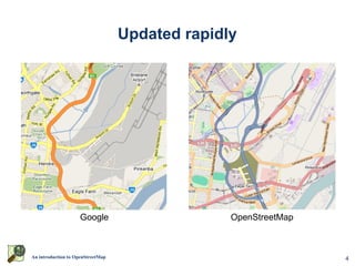
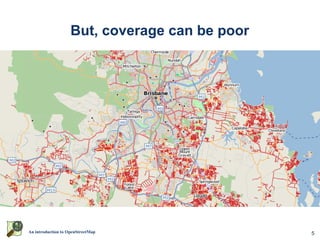
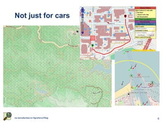
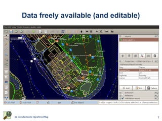
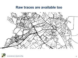
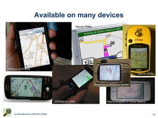
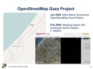
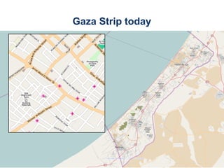
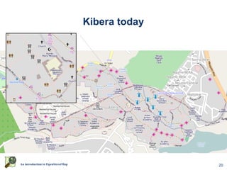
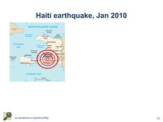
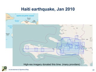
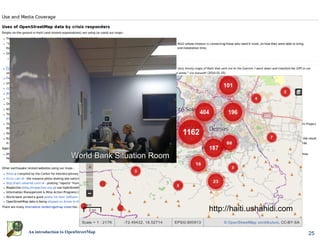
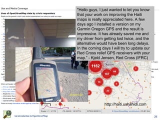
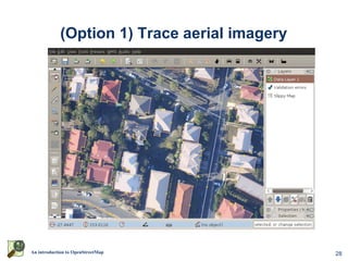
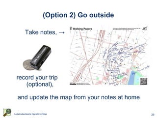
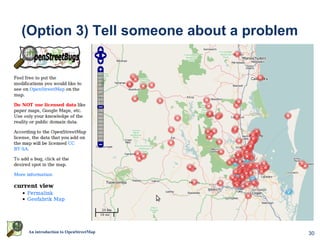
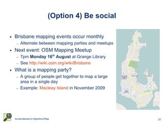
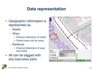
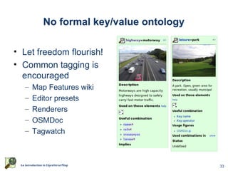
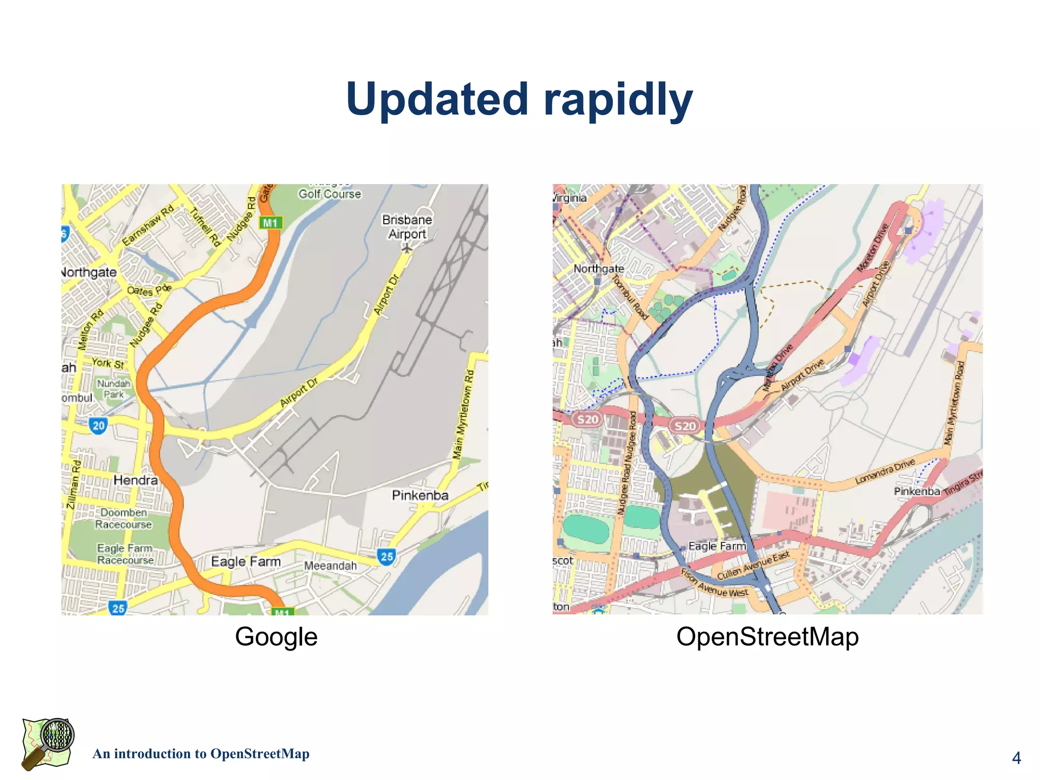
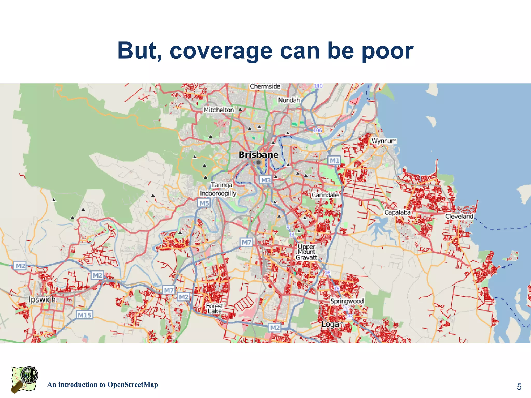
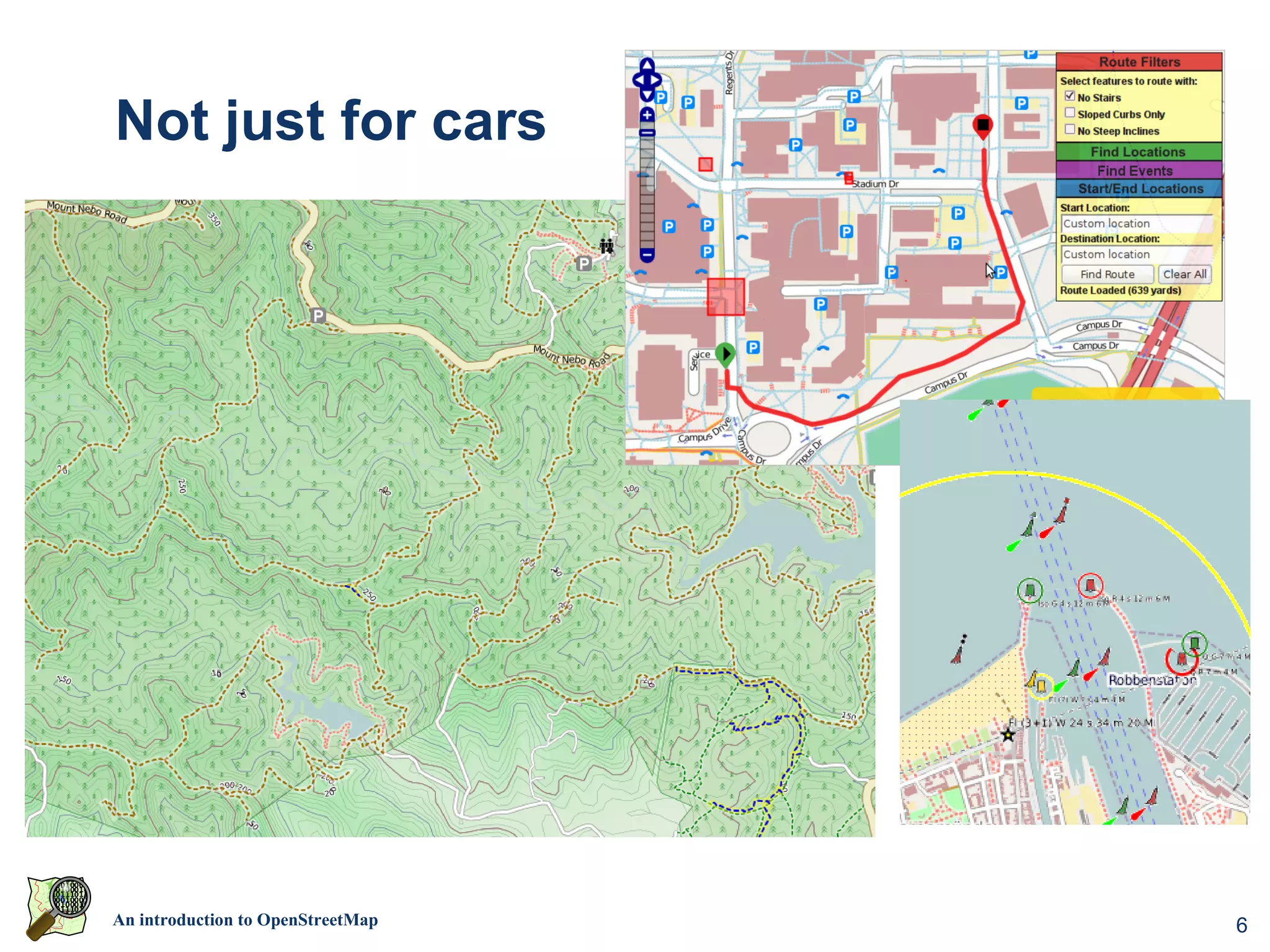
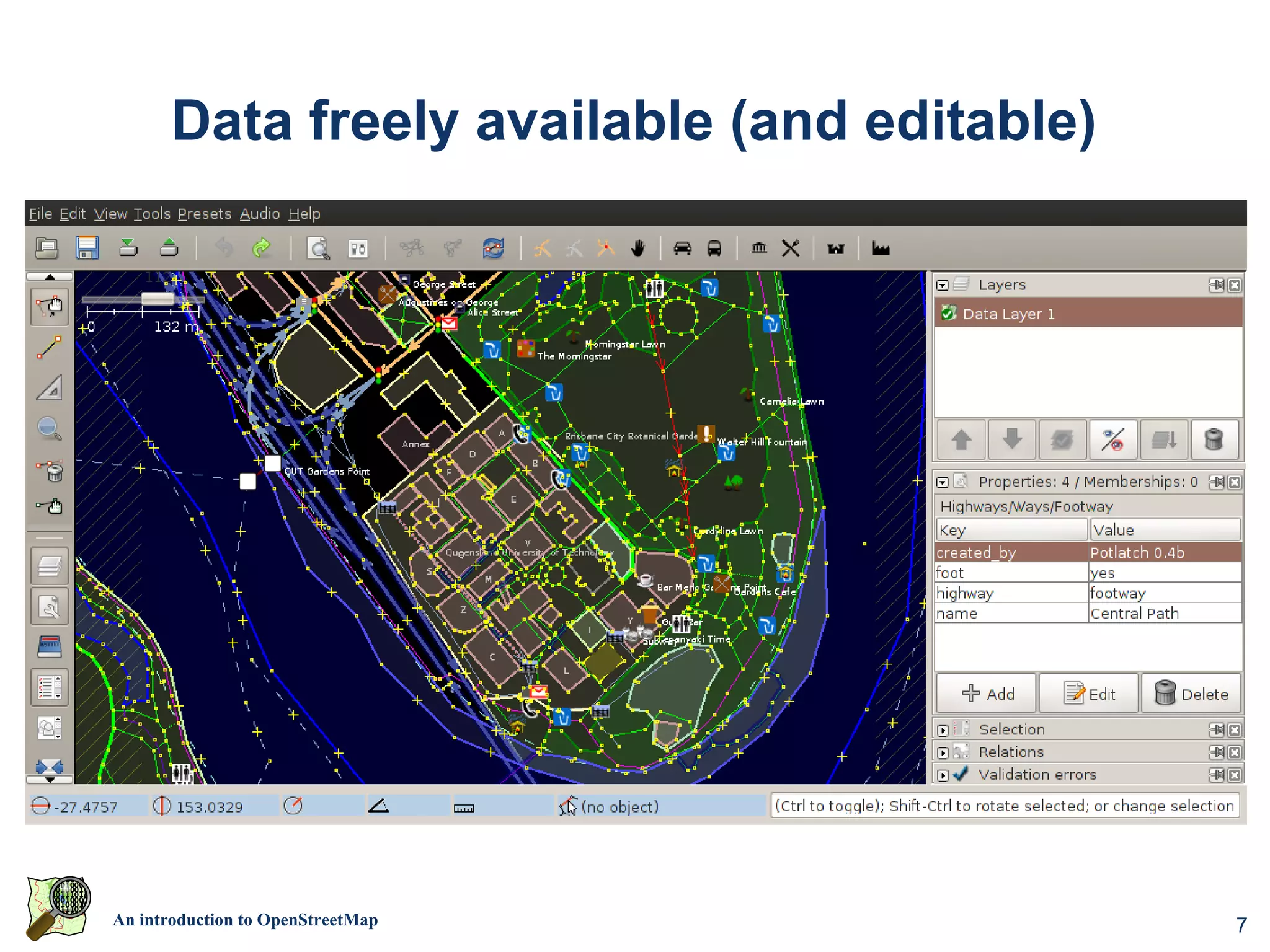
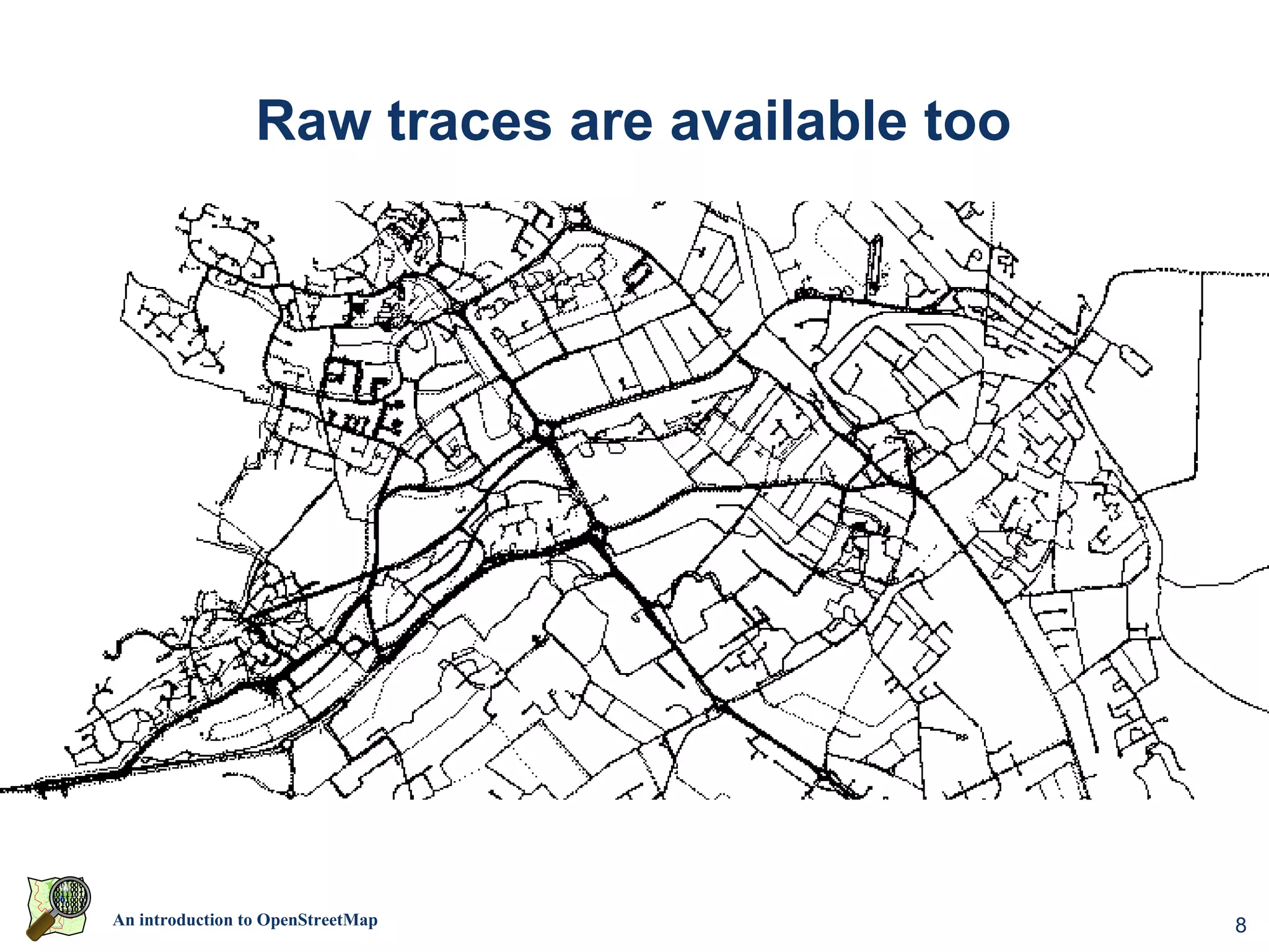
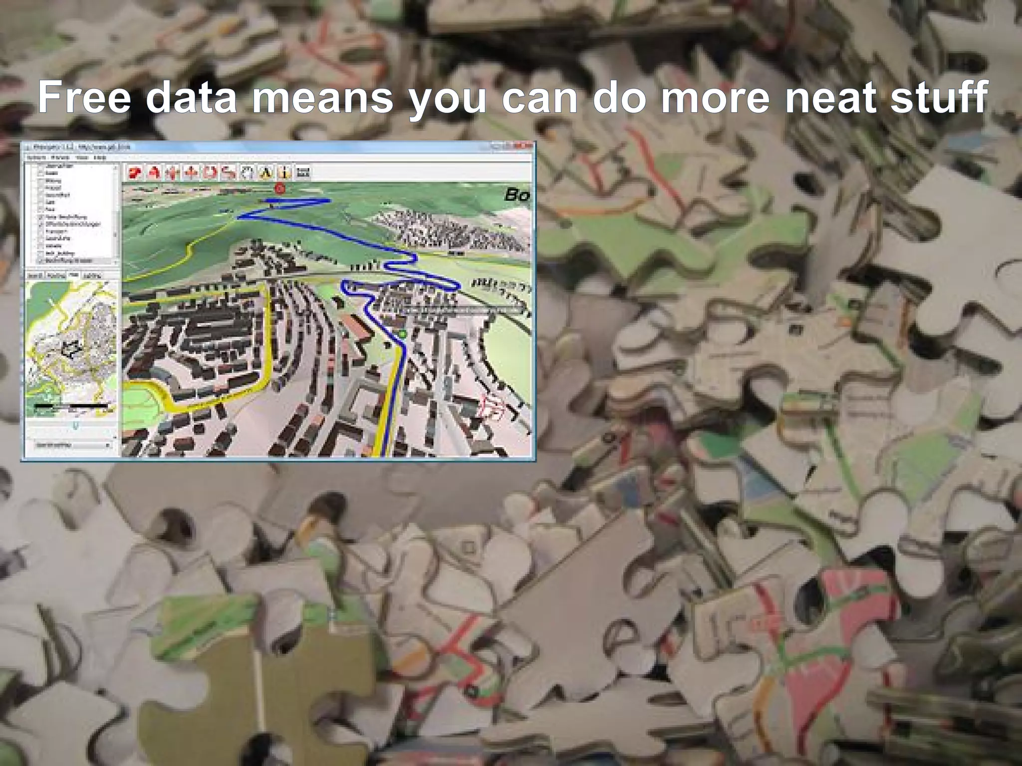
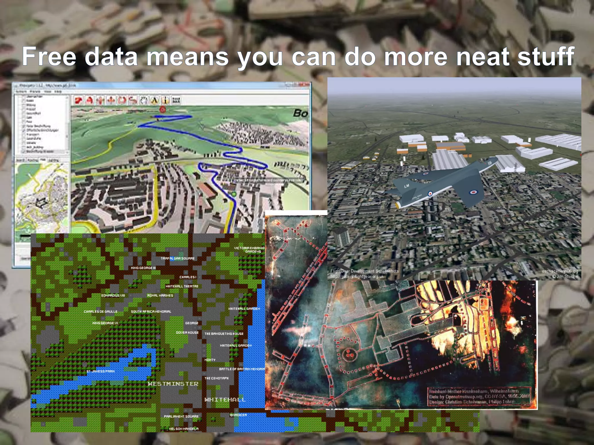
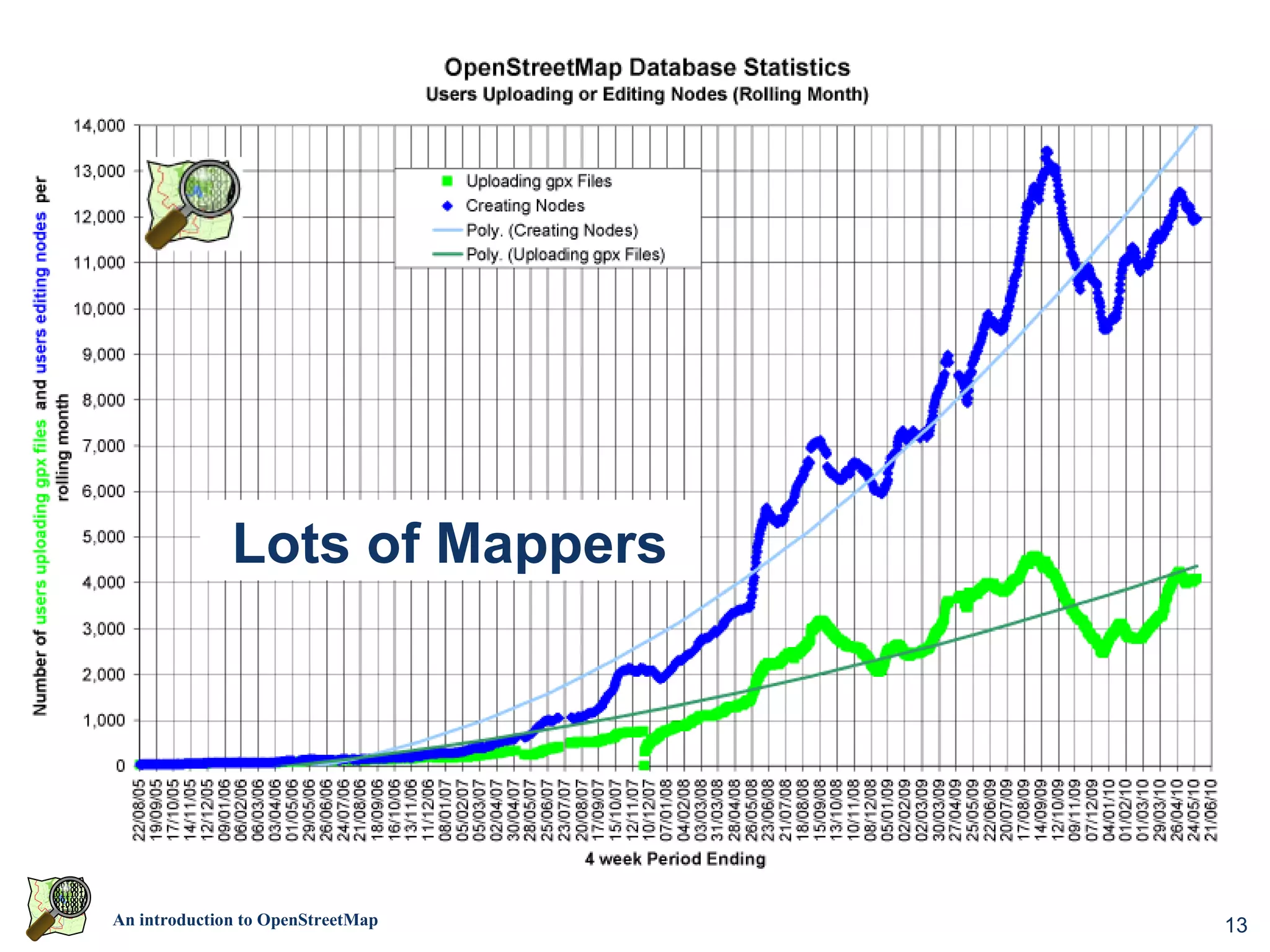
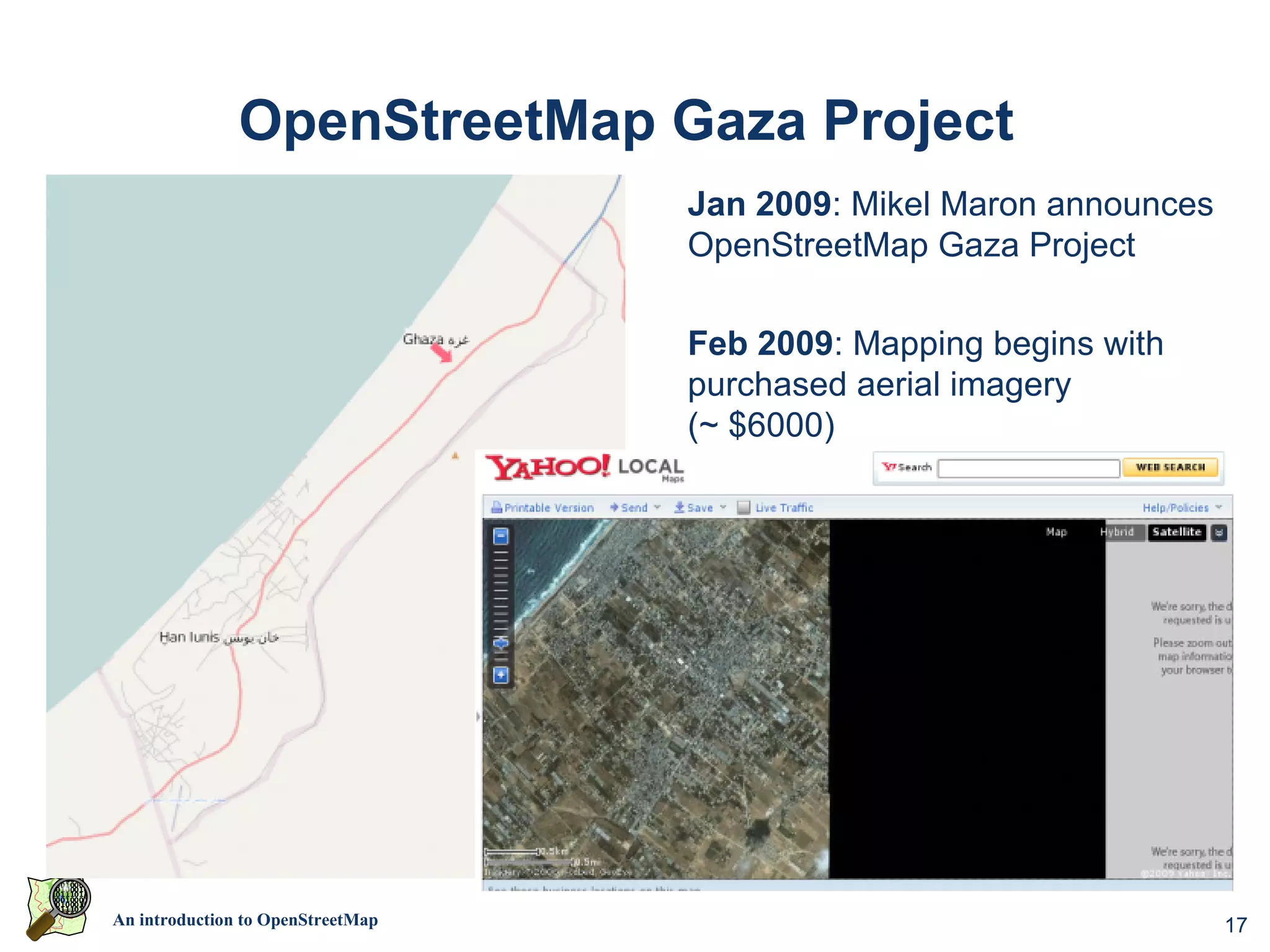
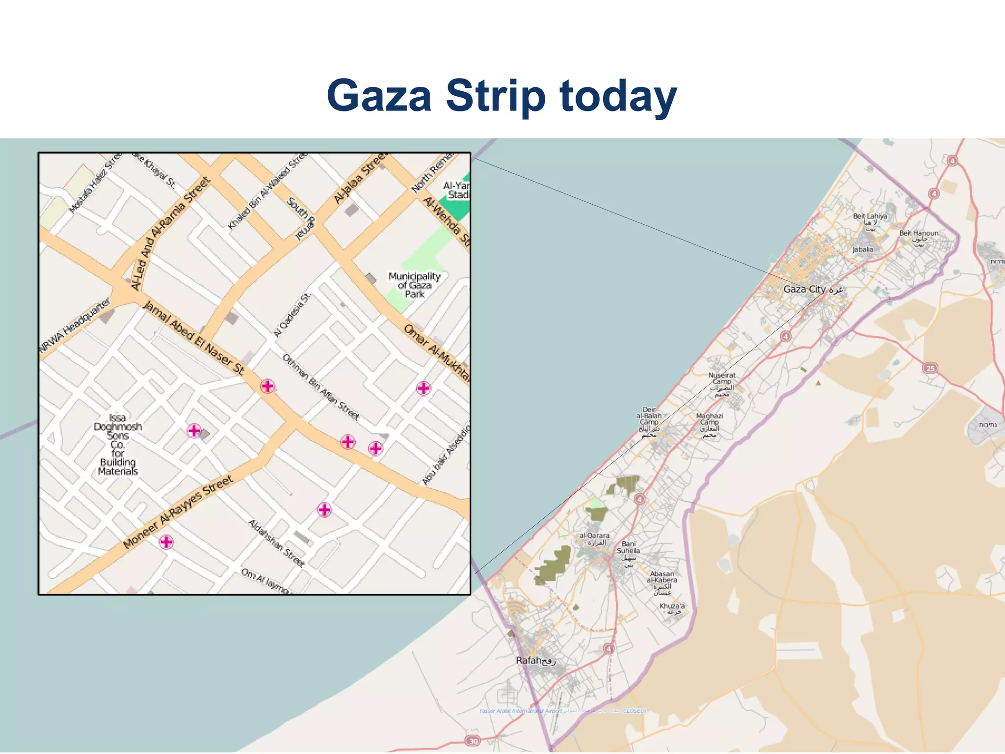
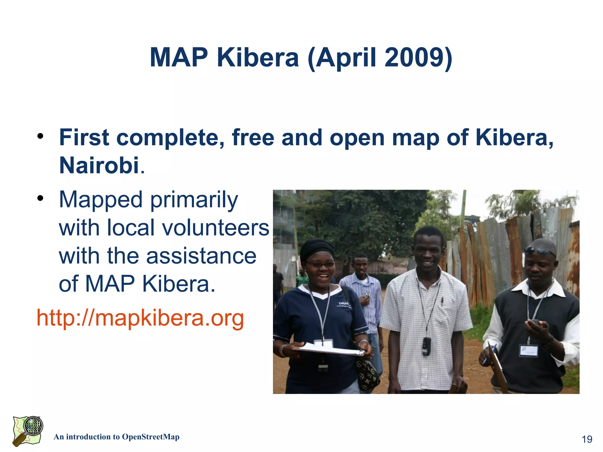
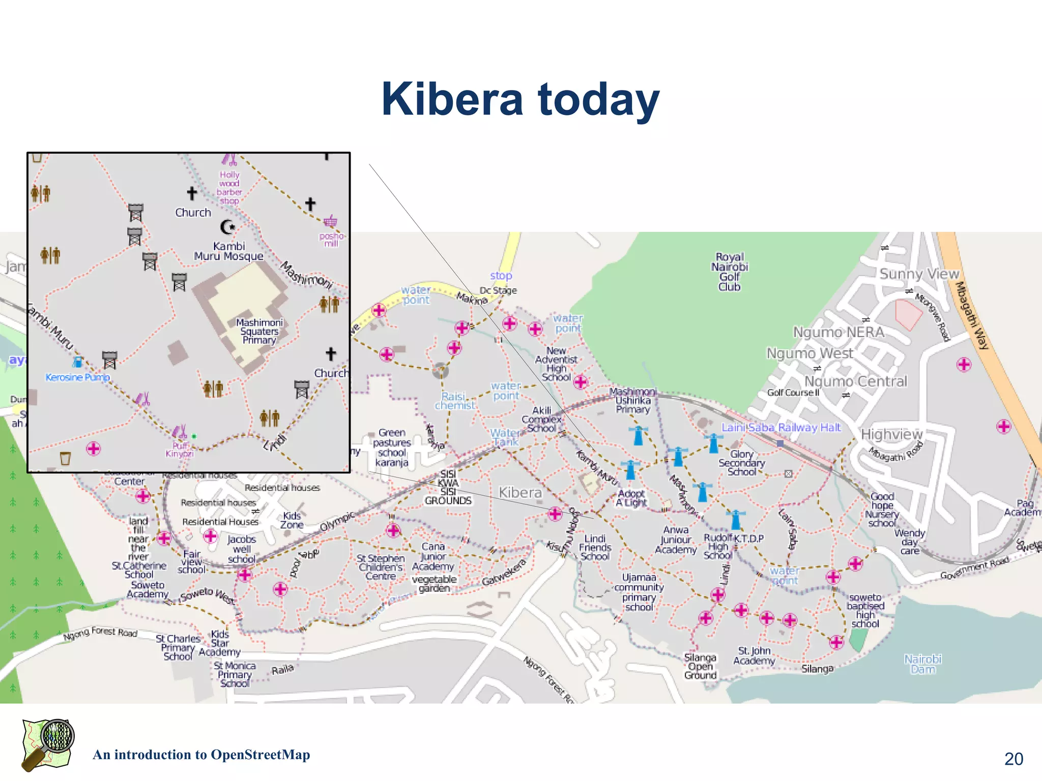
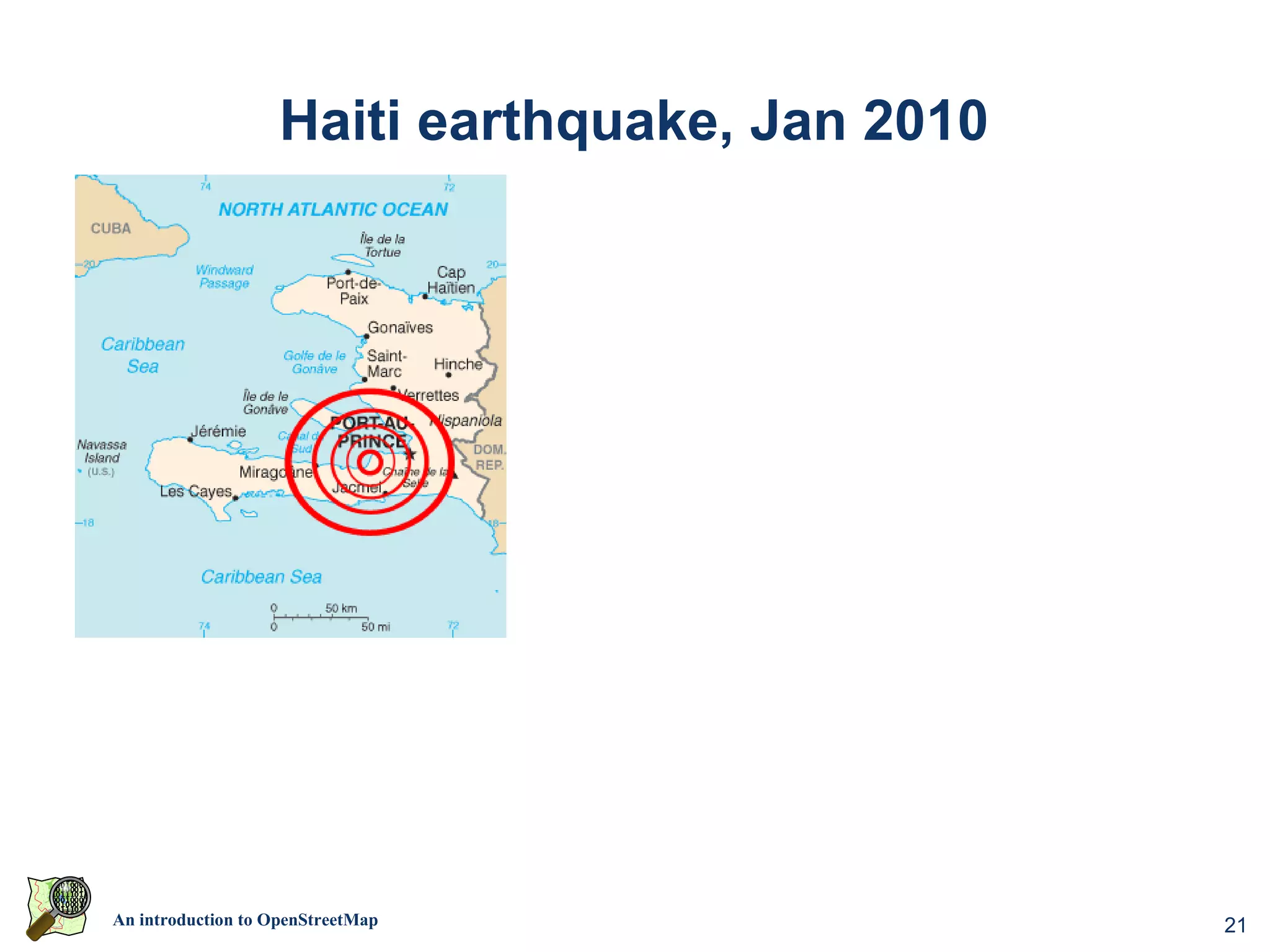
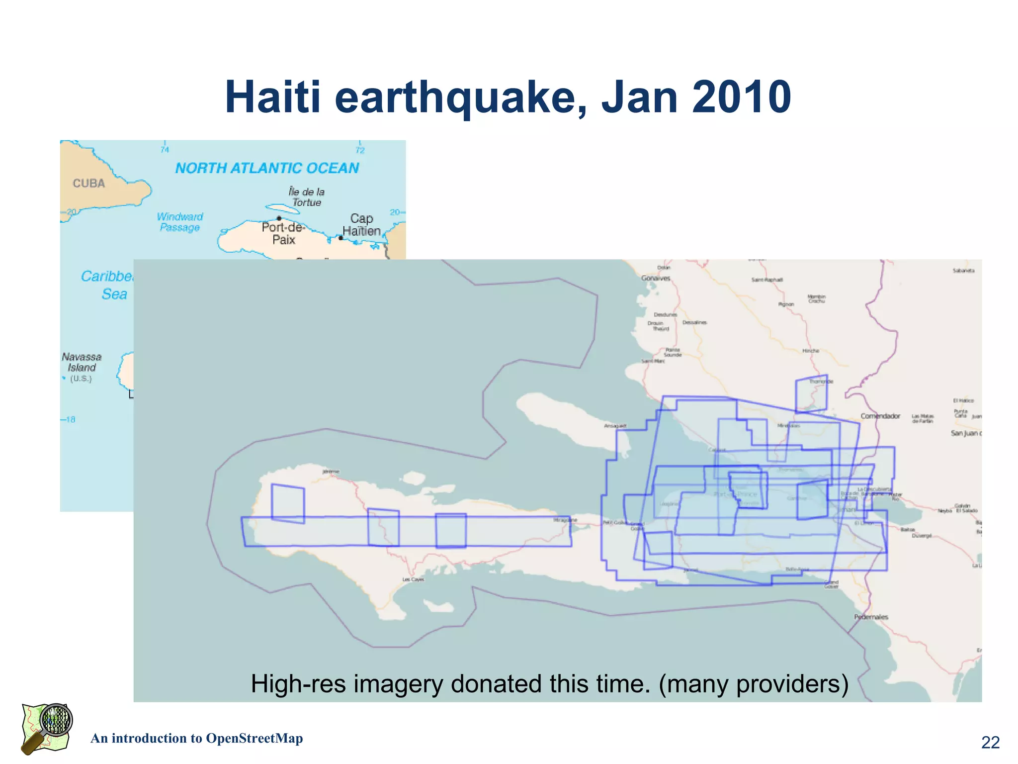
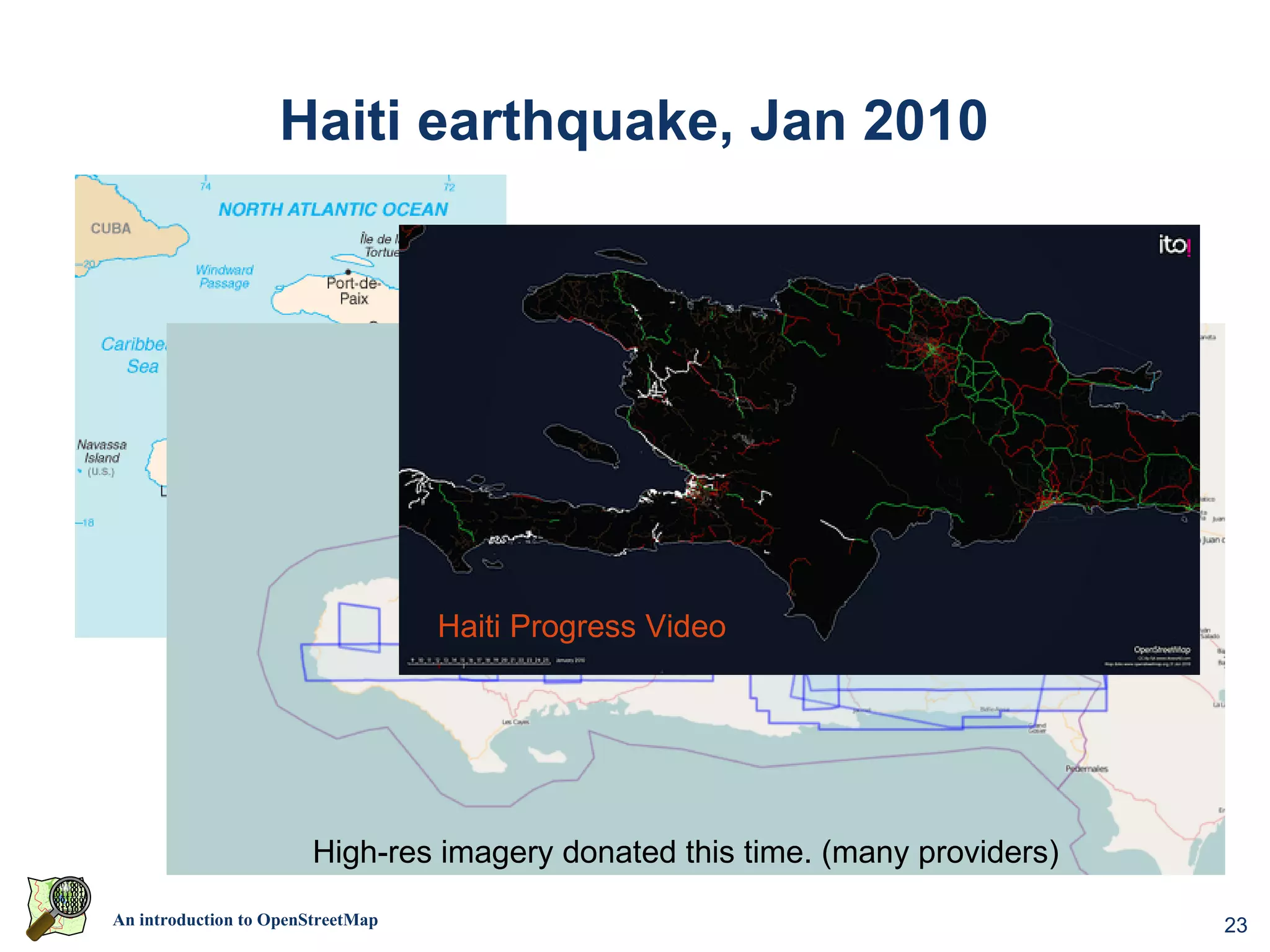
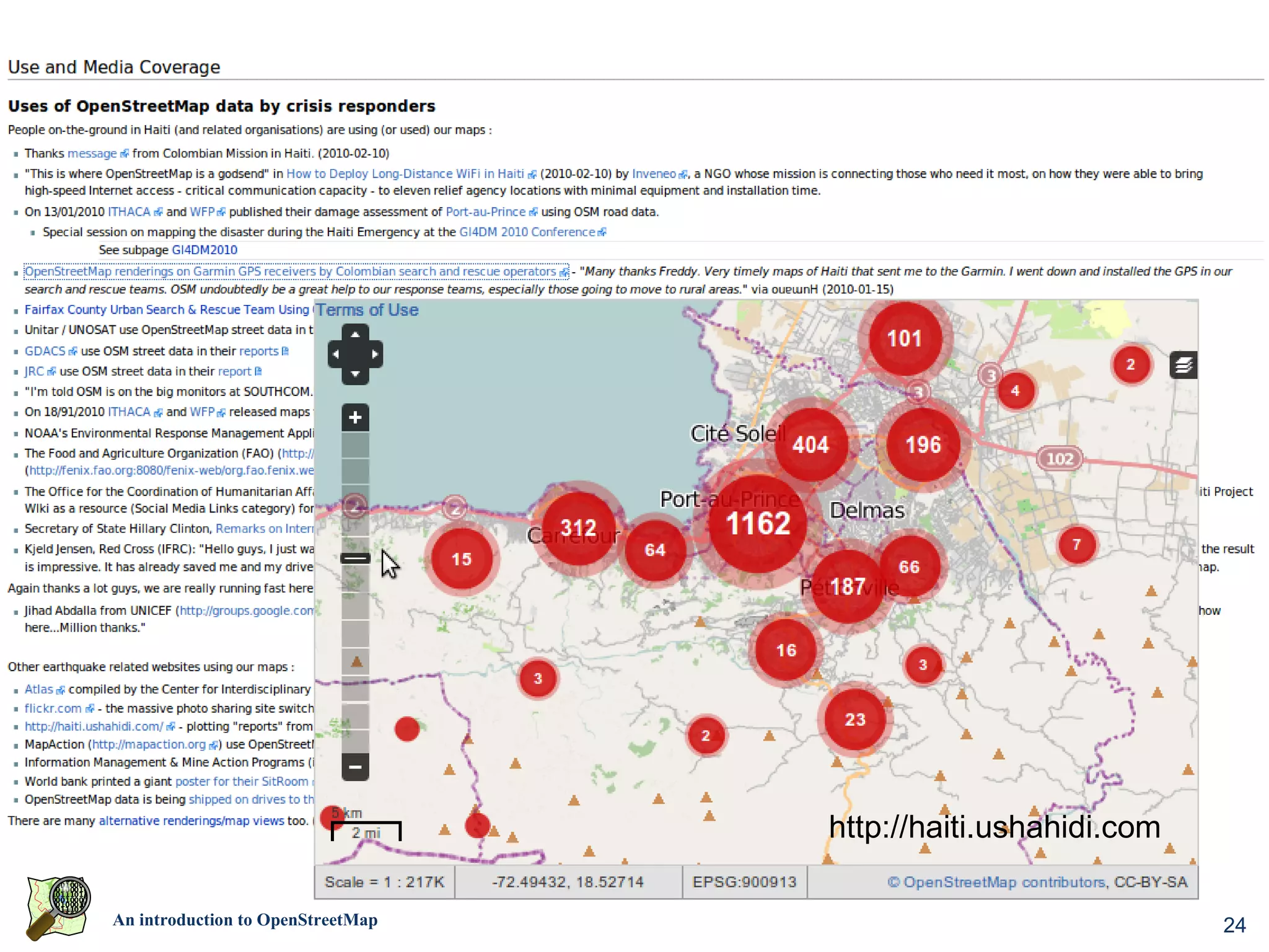
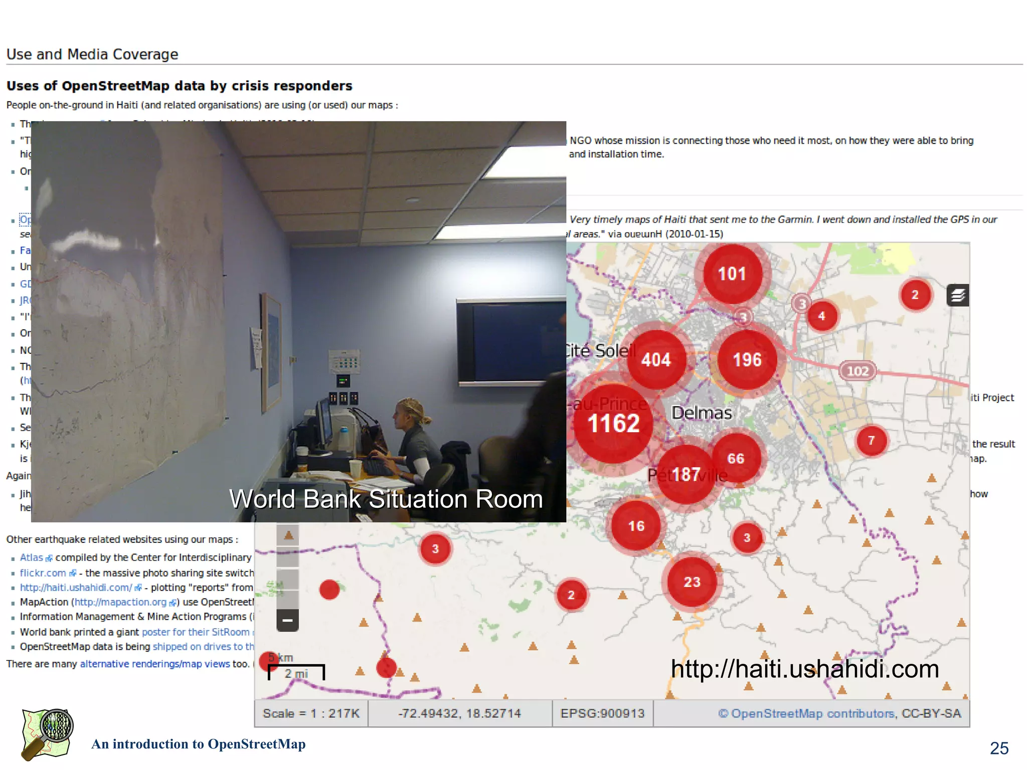
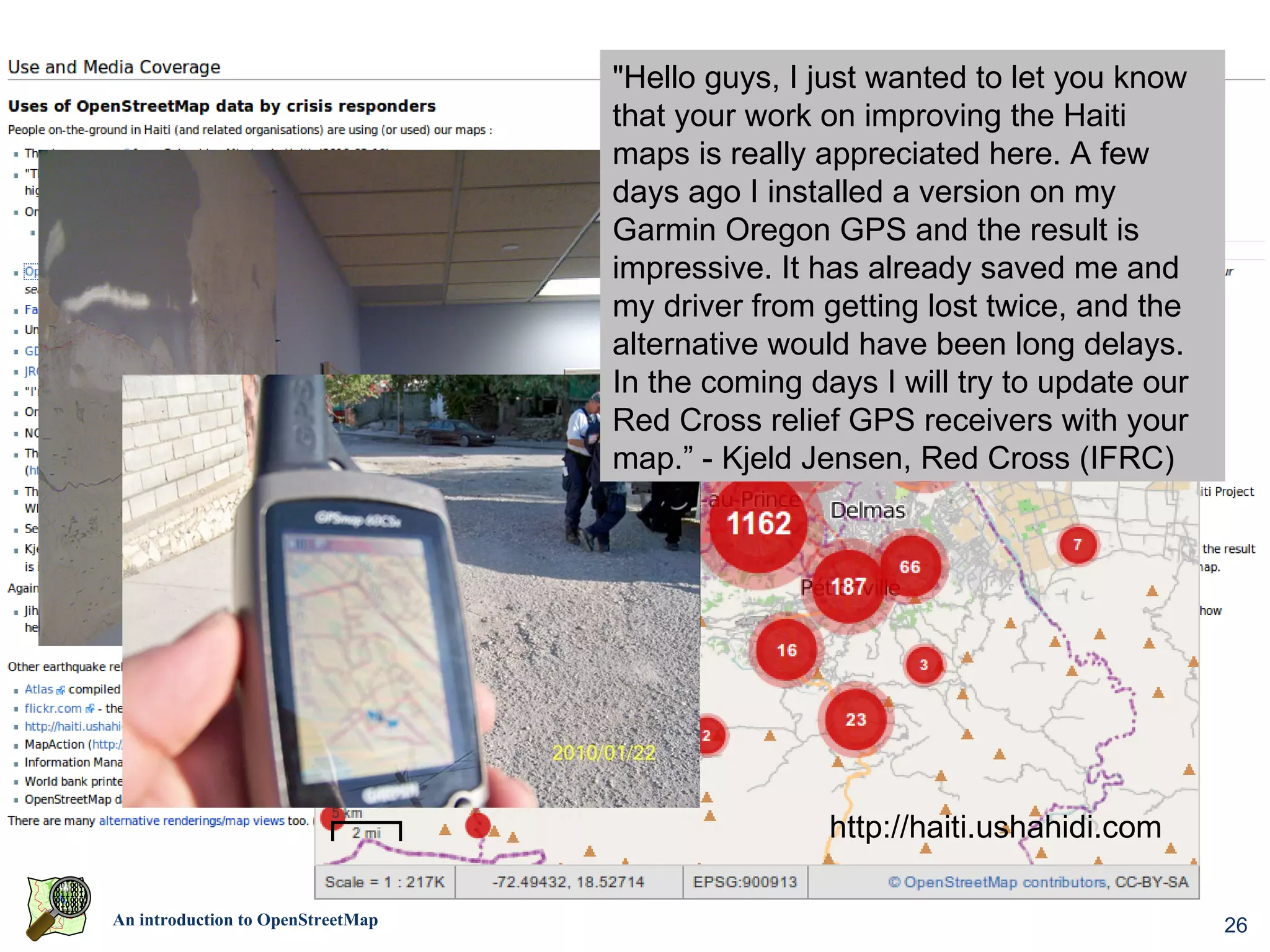
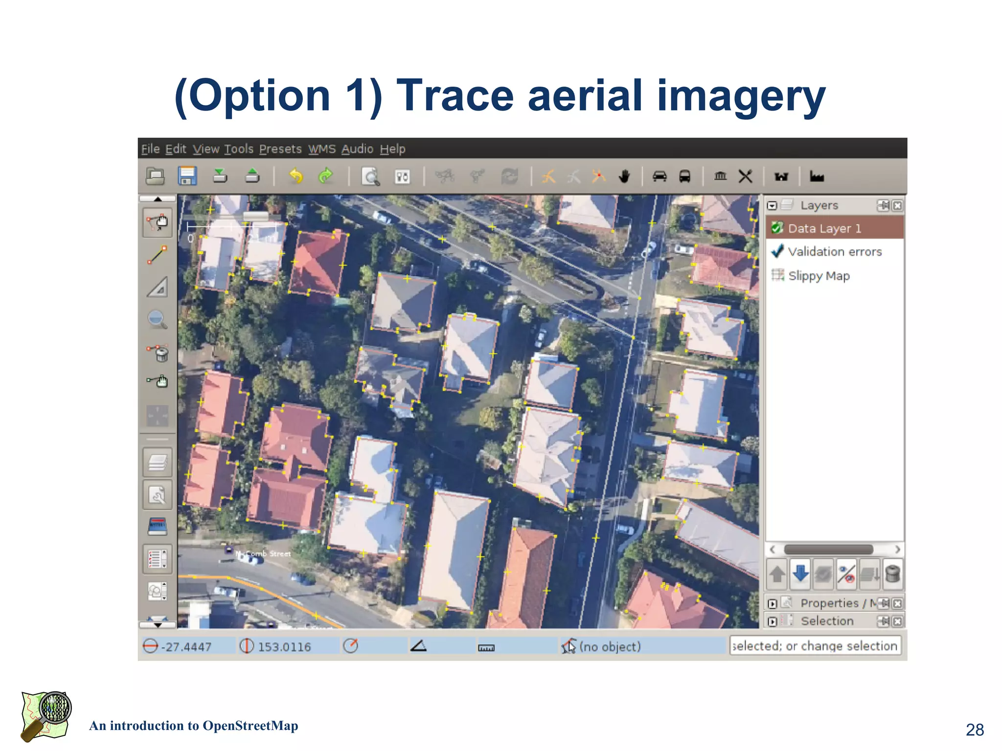
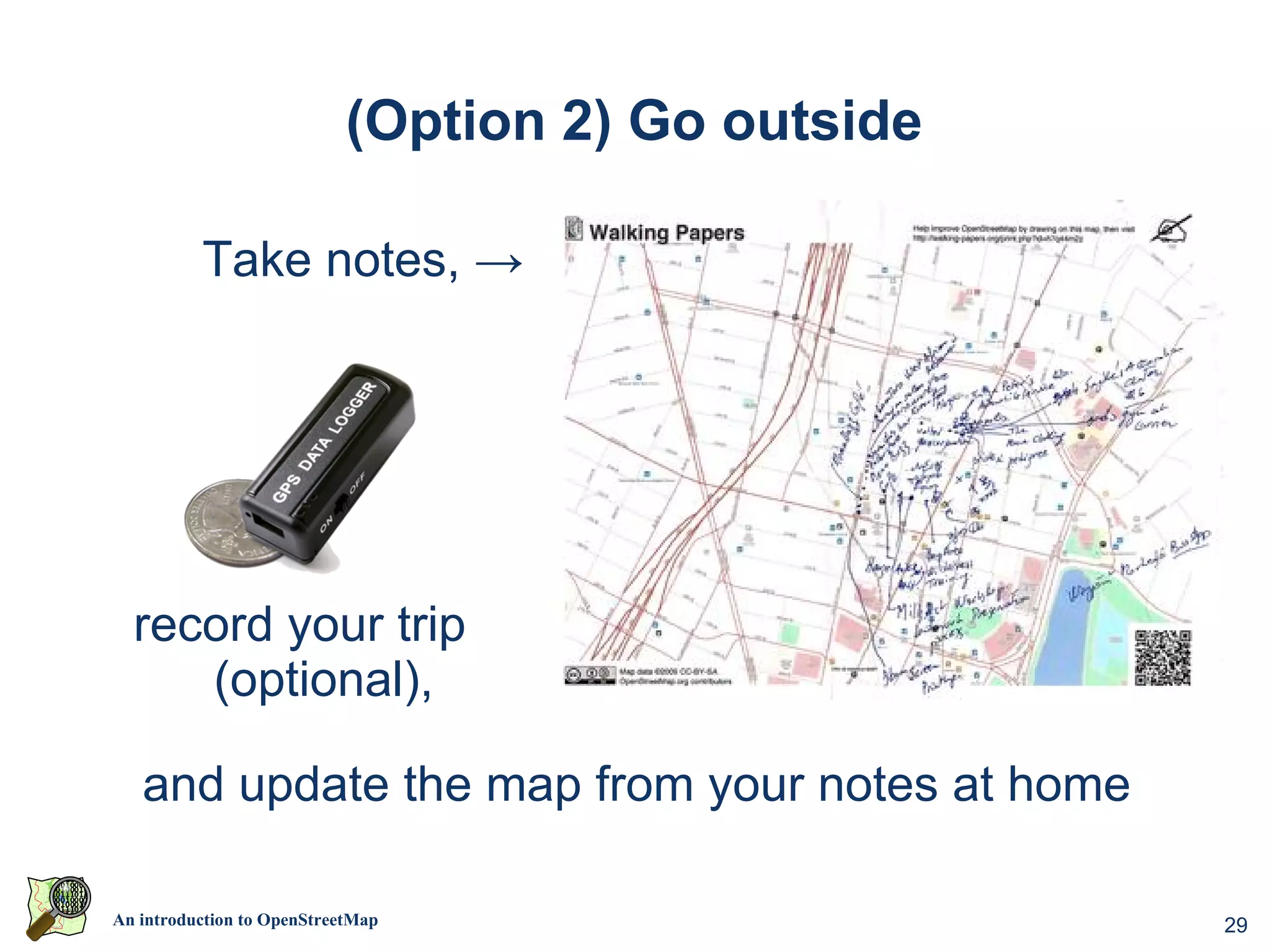
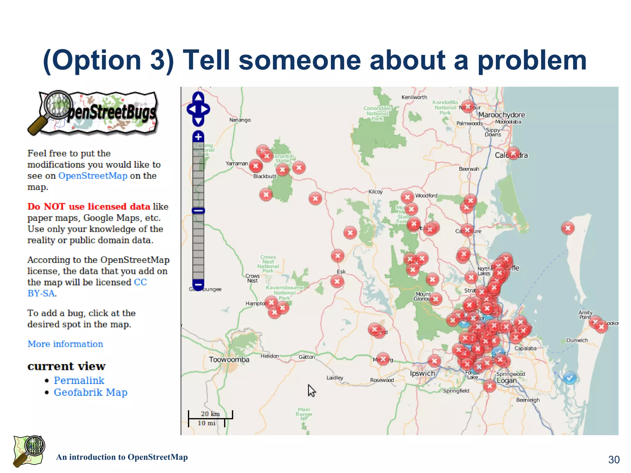
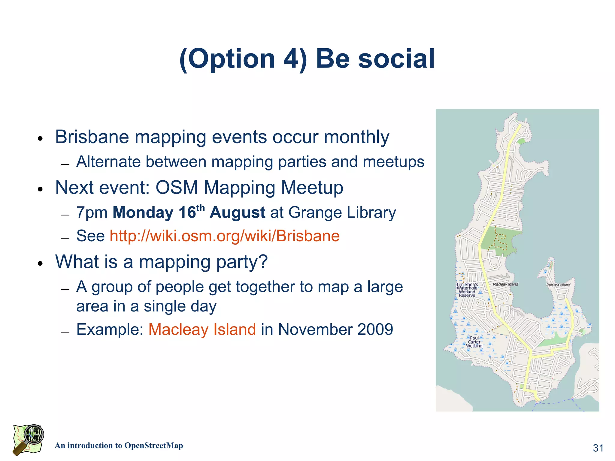
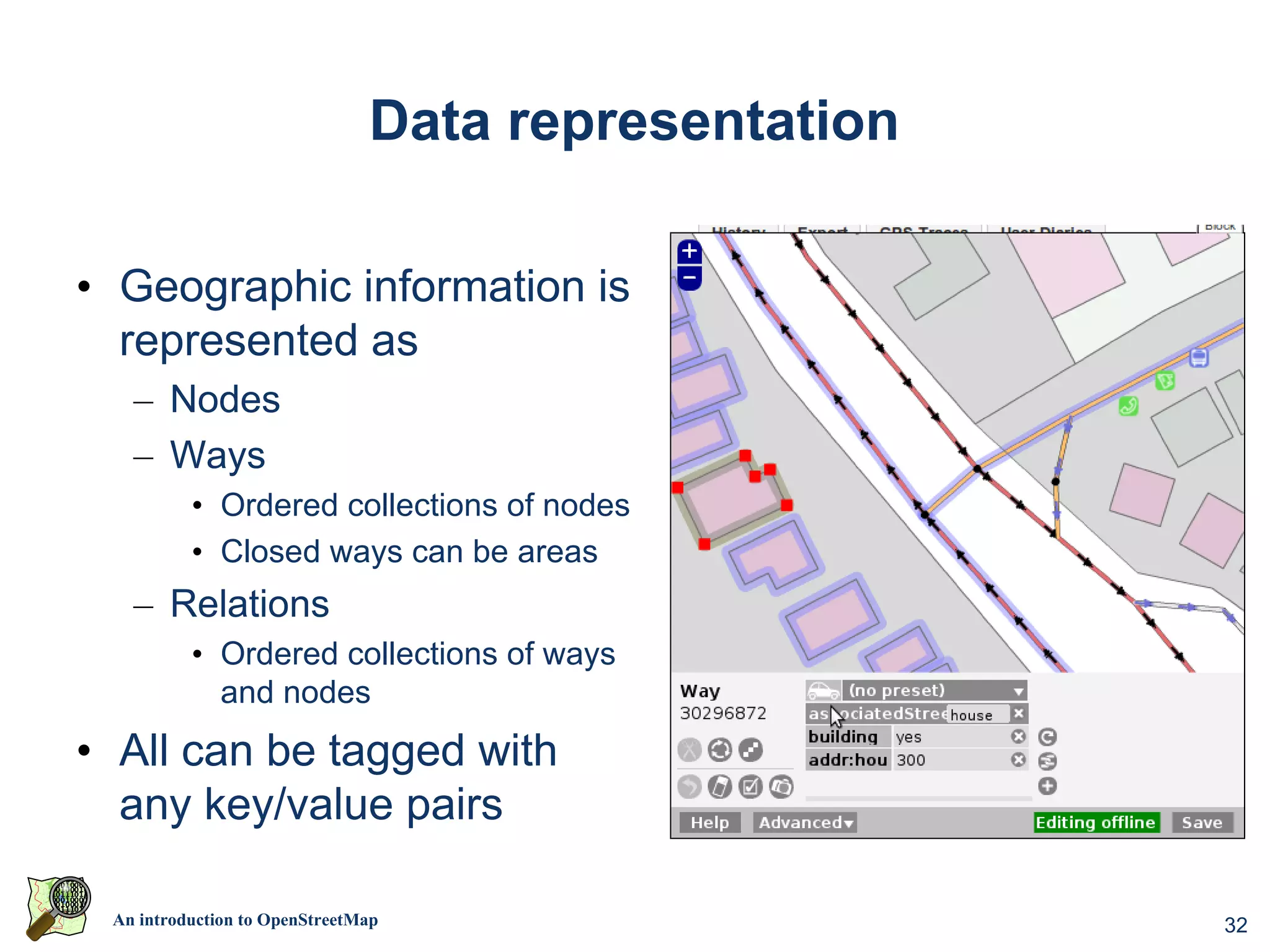
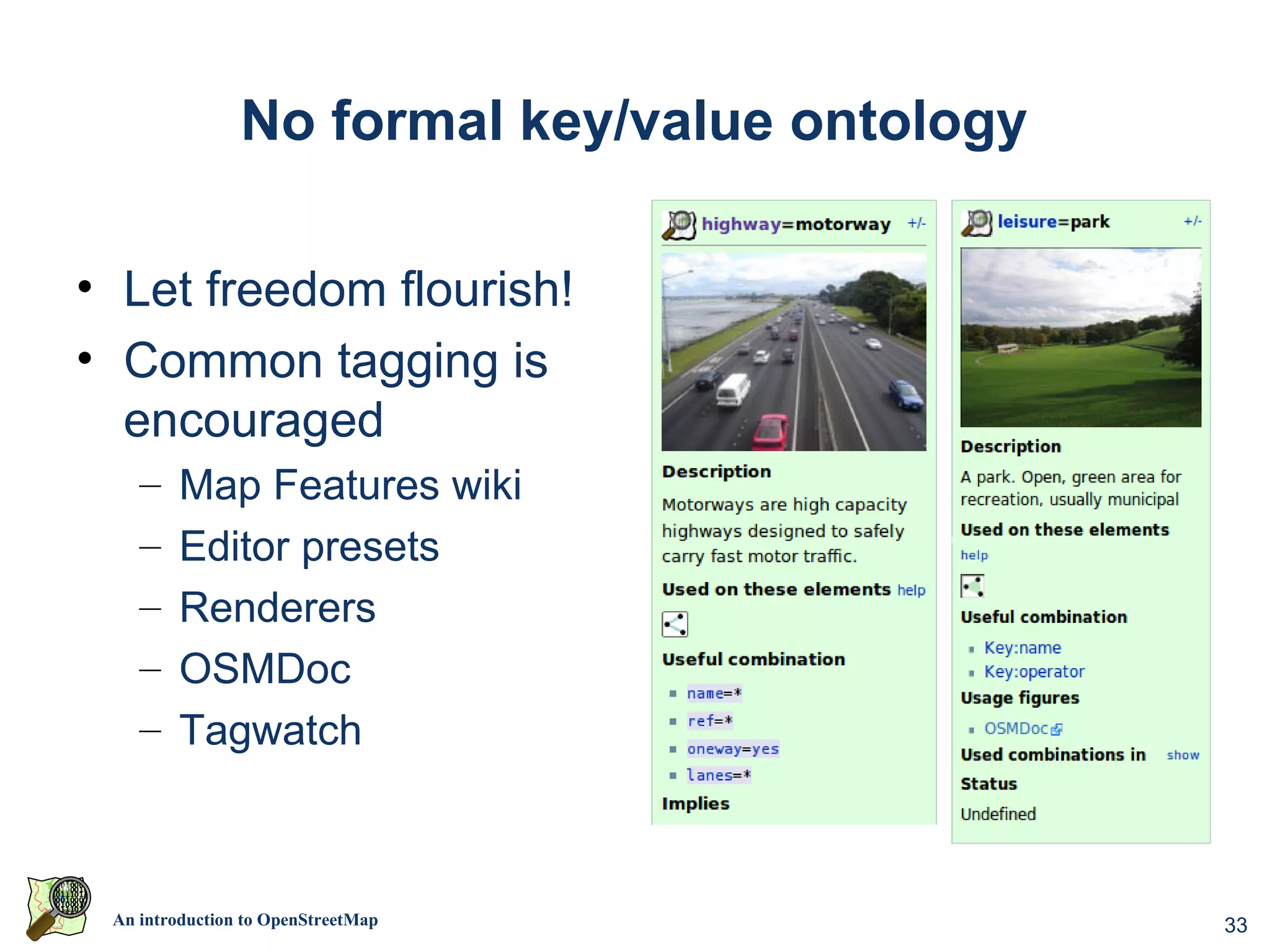
This document introduces OpenStreetMap (OSM), a free editable map of the world. OSM data is collected through contributions from mappers and is more frequently updated than proprietary map providers. It can be used for various activities beyond just driving like hiking and boating. The data is openly licensed and raw GPS traces can also be accessed. Many organizations have used OSM for humanitarian mapping projects in places like Gaza, Kenya, and Haiti after natural disasters. Individuals can contribute by tracing aerial imagery, recording locations, or attending mapping parties. Data is represented as nodes, ways, and relations which can be tagged with custom keys and values.