Downloaded 137 times


This document provides an overview of databases and WebGIS. It discusses different types of databases including MySQL, PostgreSQL, and spatially-enabled databases. It compares MySQL and PostgreSQL, covering when each would be used. It also covers database data conversions between formats like JSON, GeoJSON, CSV, SHP, and KML/KMZ. For WebGIS, it defines it as a distributed information system comprising a server and client, where the server is a GIS server and client a web browser. It discusses purposes, technologies, languages/frameworks like Python, JavaScript, GeoDjango, and case studies for building WebGIS systems.
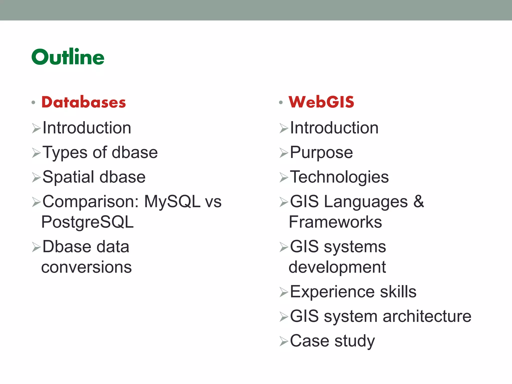
Overview of databases and WebGIS concepts, outlining types of databases, Spatial databases, and the importance of GIS.
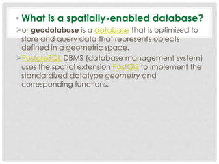
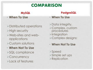
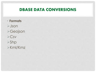
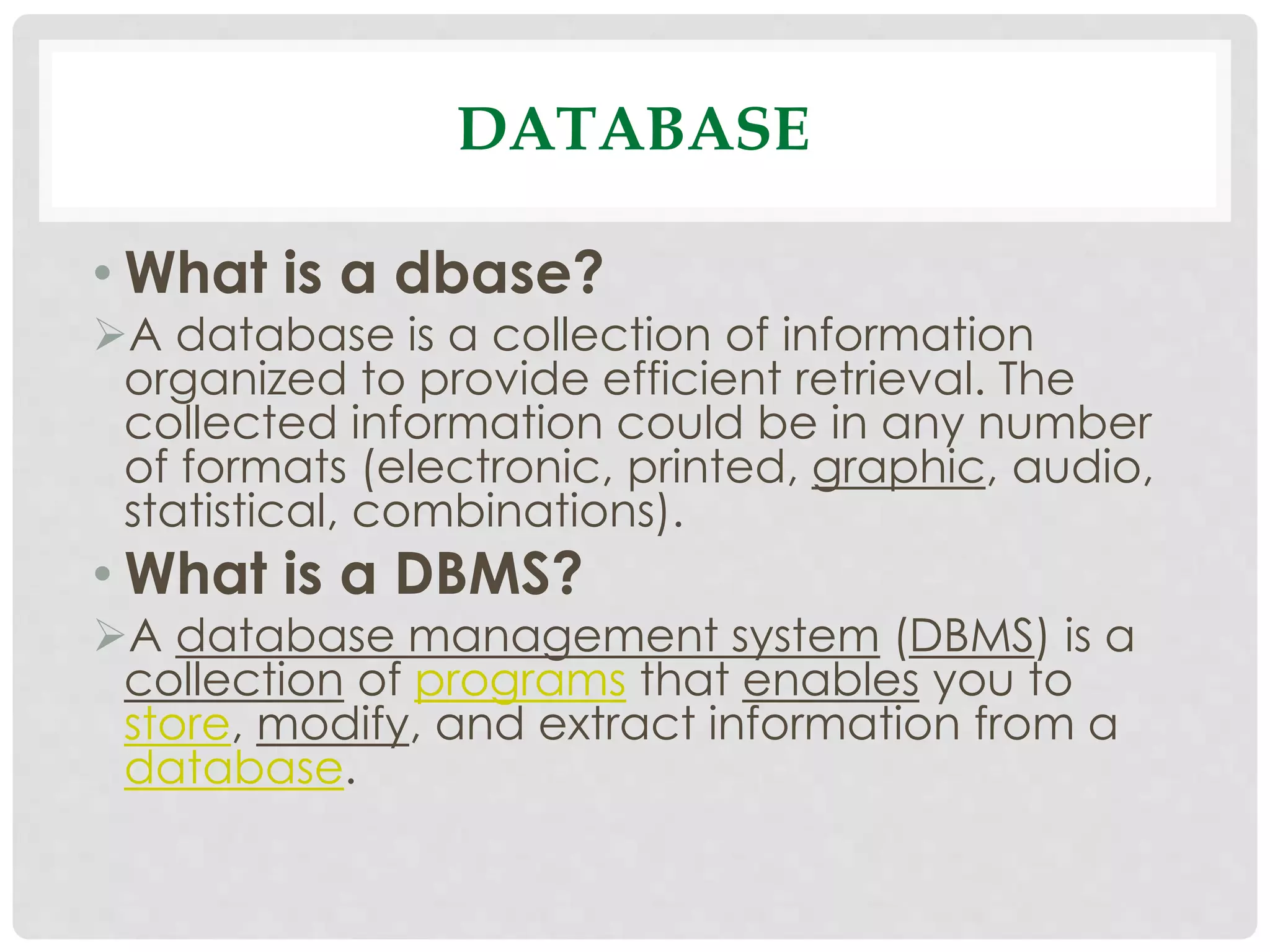
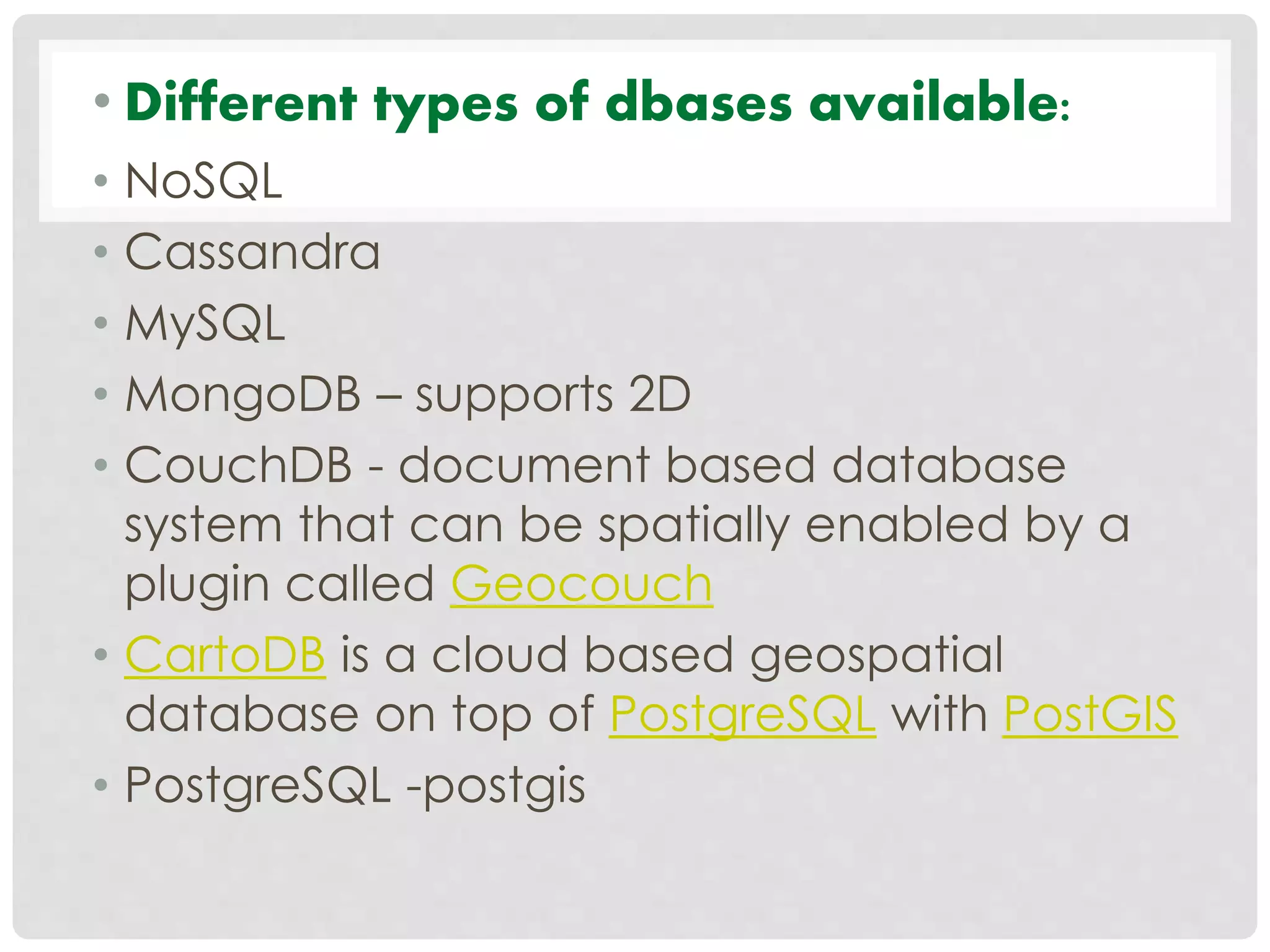
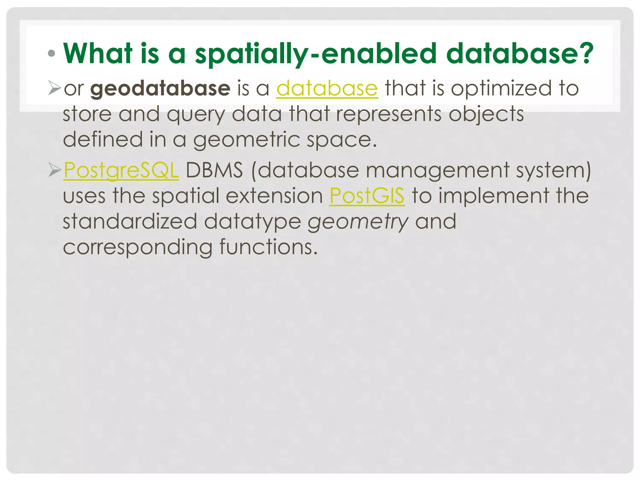
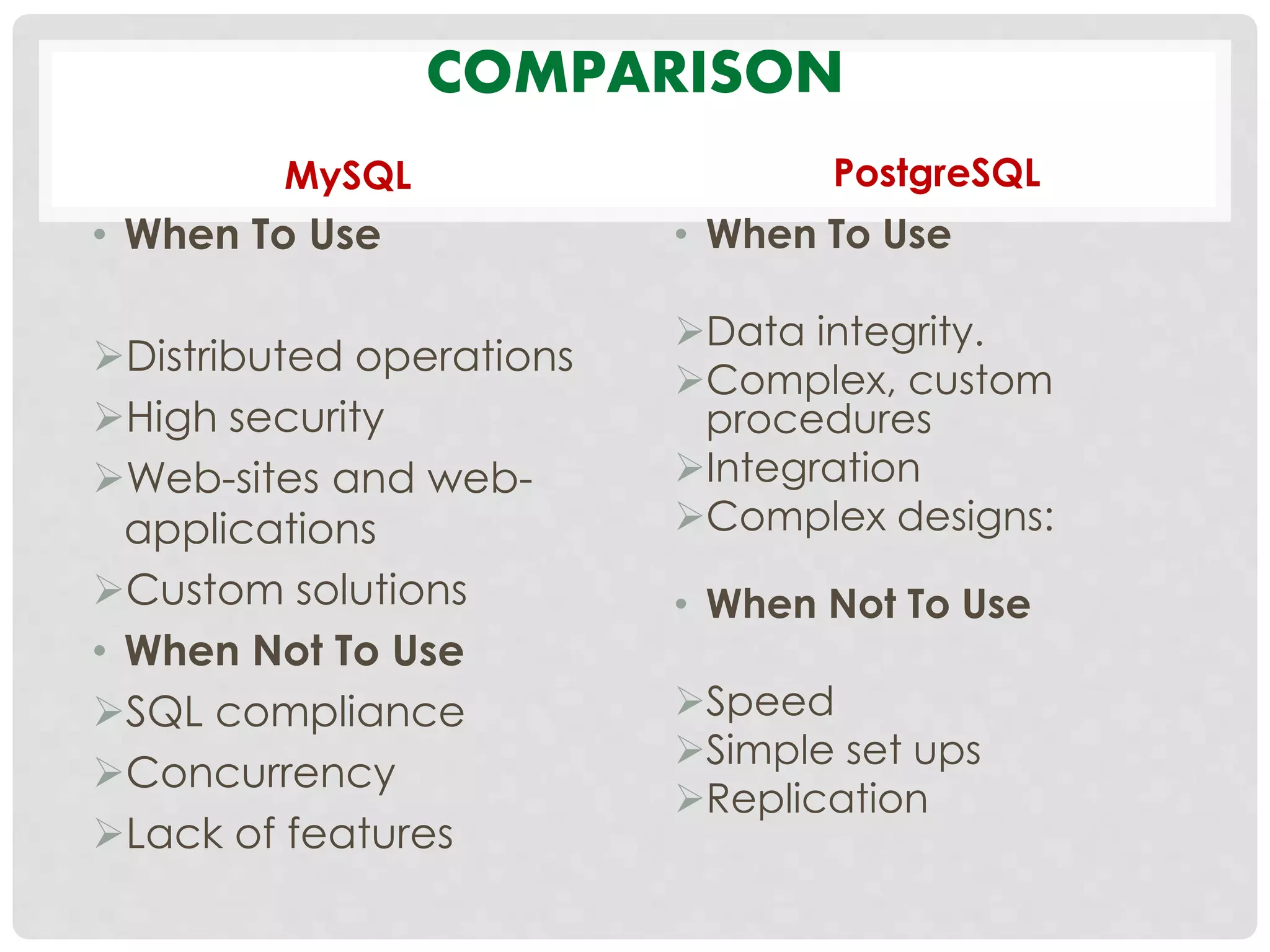
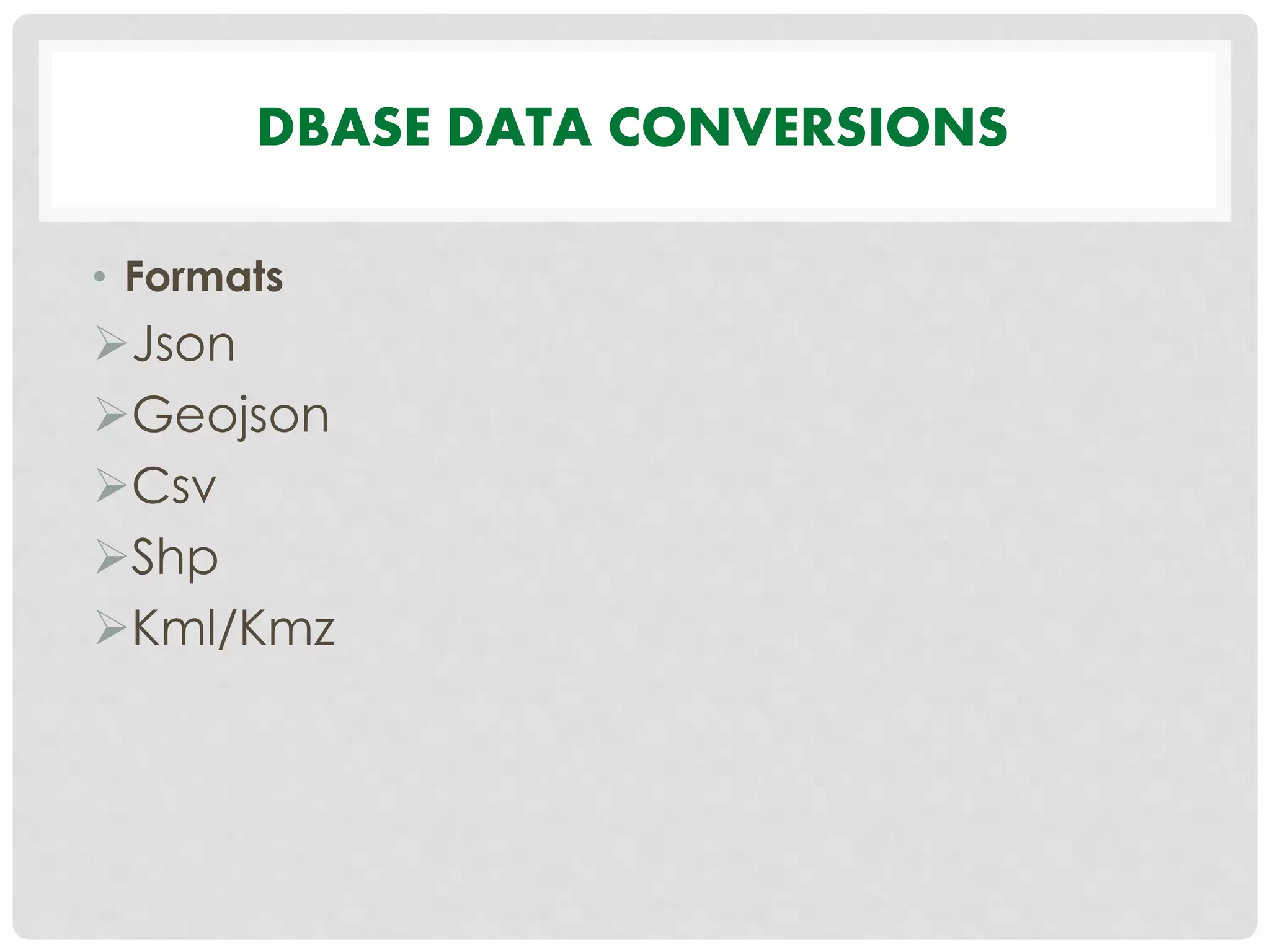
Insights into databases and DBMS, types of databases including NoSQL, spatial databases like PostgreSQL with PostGIS, and data conversions.
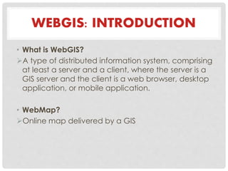
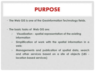
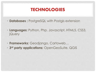
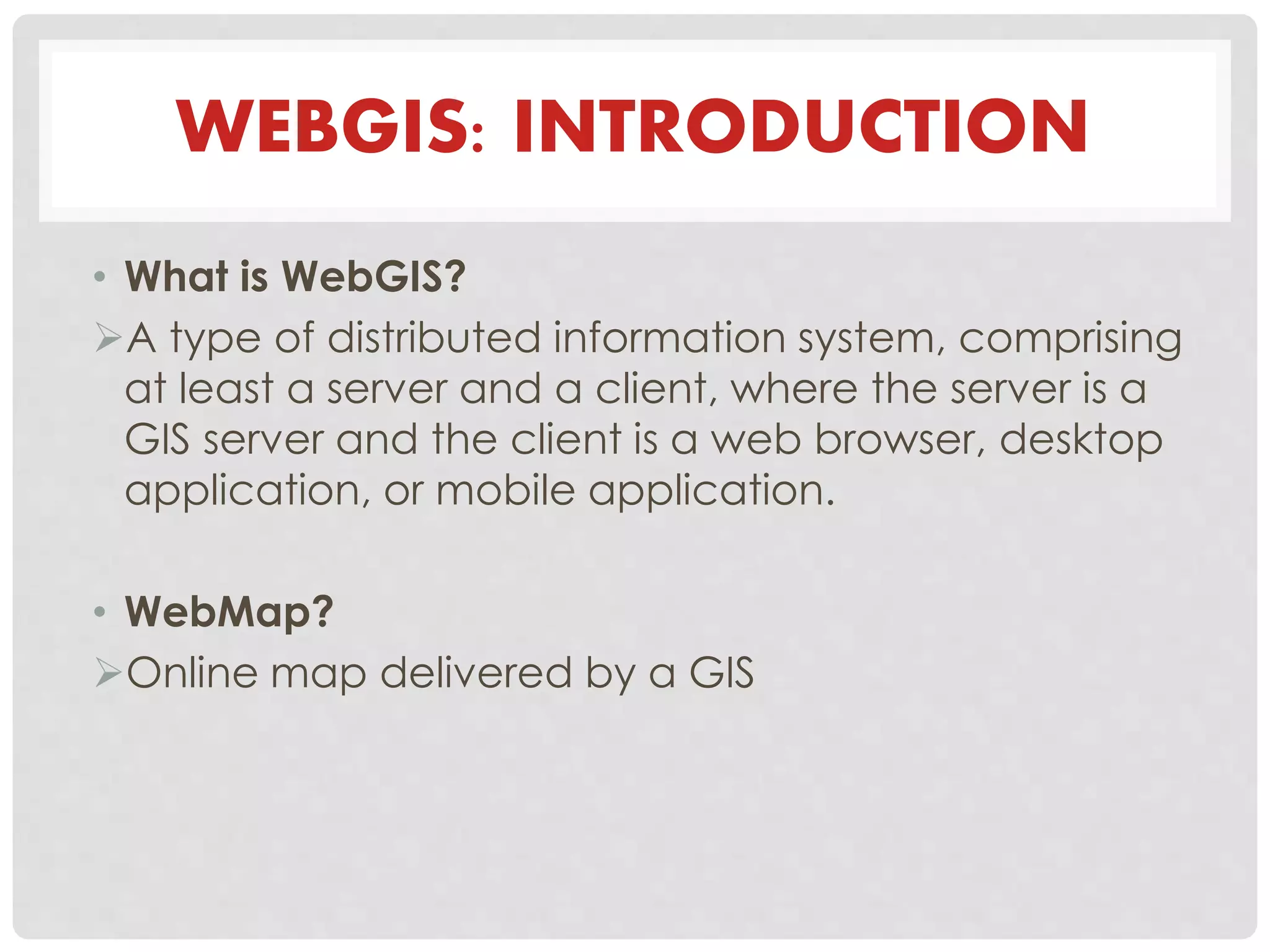
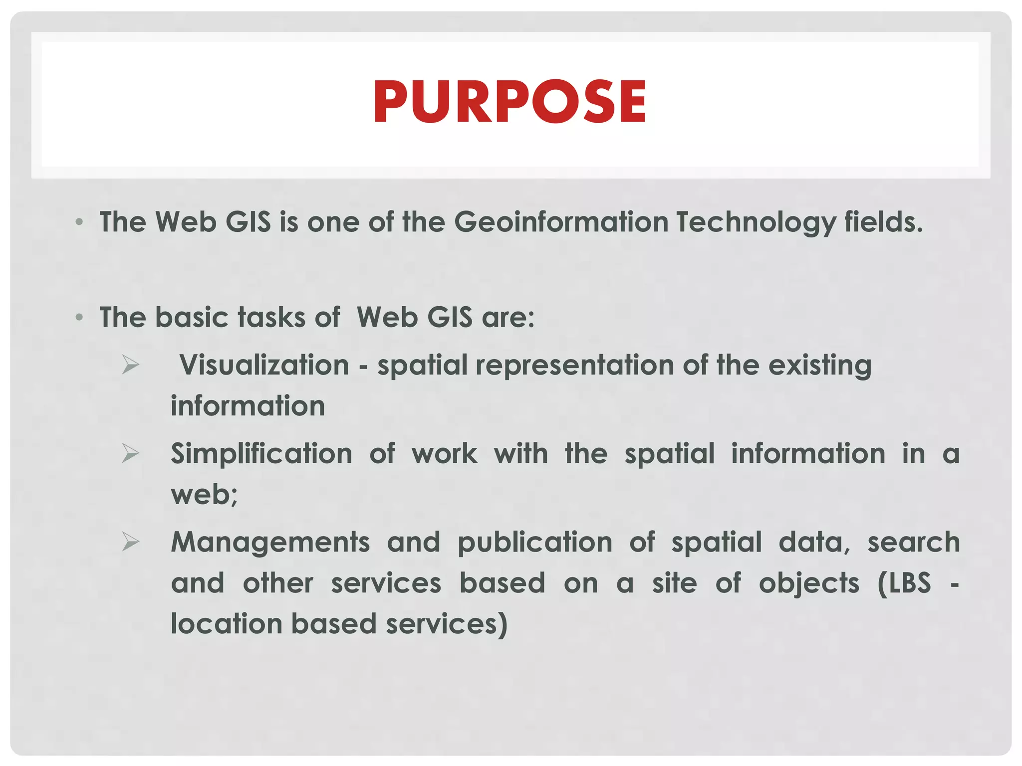
Definition and purpose of WebGIS, highlighting visualization, spatial data management, and associated technologies used in WebGIS.
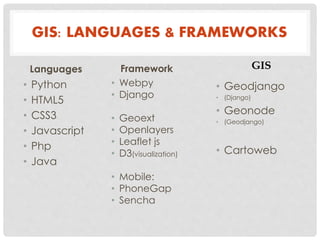
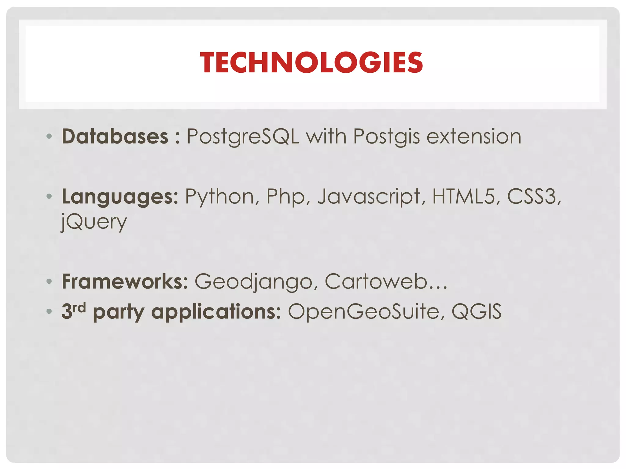
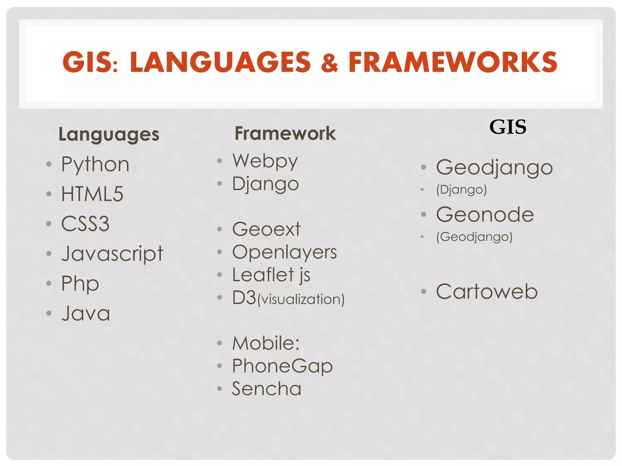
Focus on programming languages and frameworks used in GIS development, including PostgreSQL, JavaScript, and various web technologies.
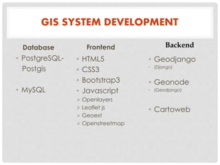
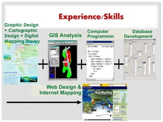
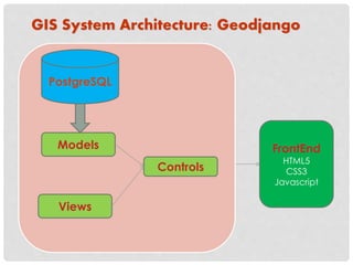
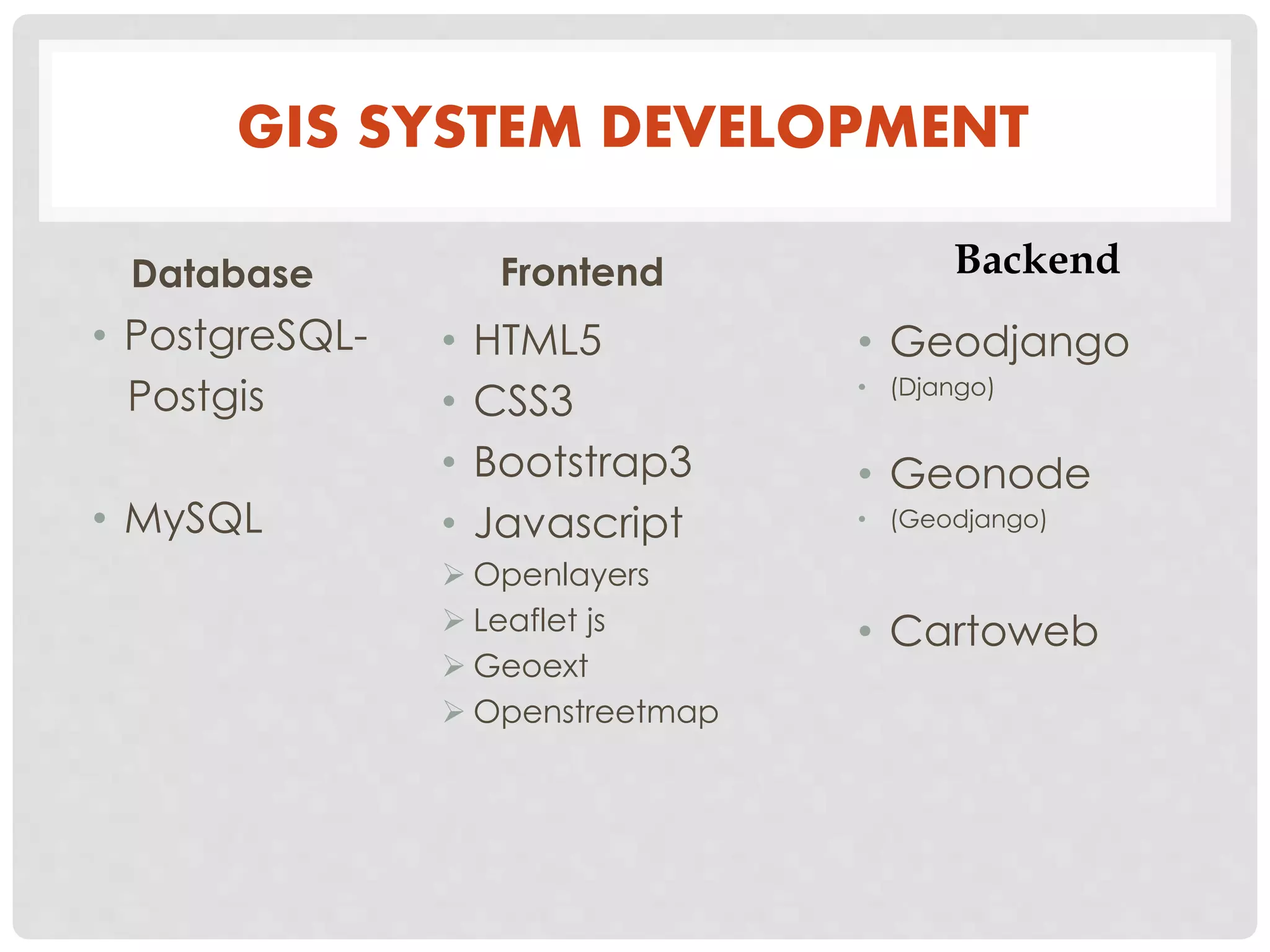
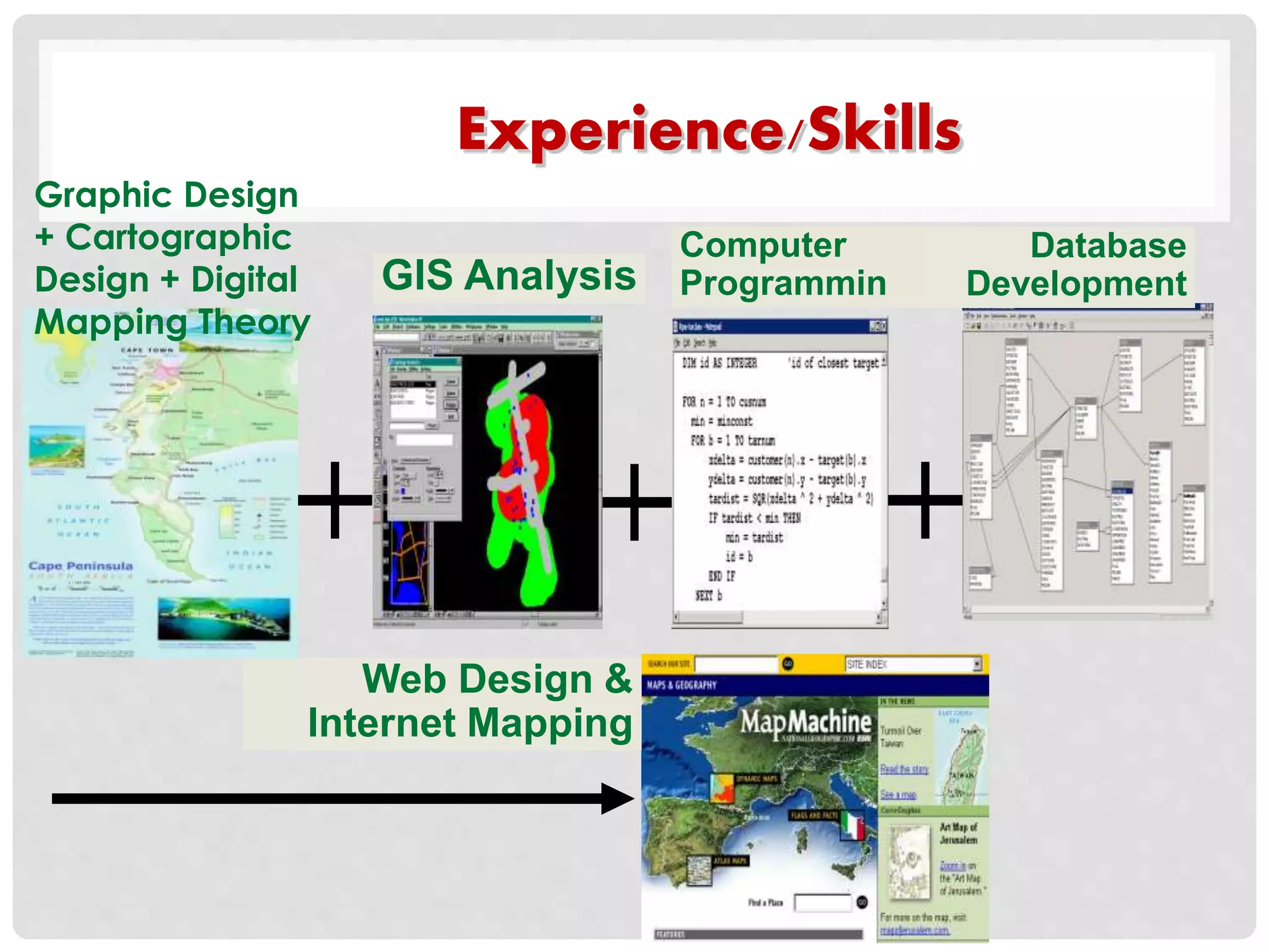
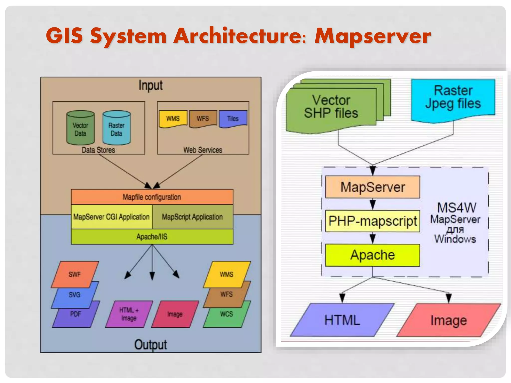
Essential skills and experience areas for GIS development, including programming, database development, and GIS system architecture.
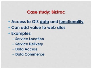
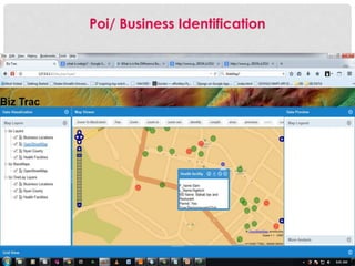
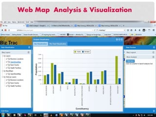
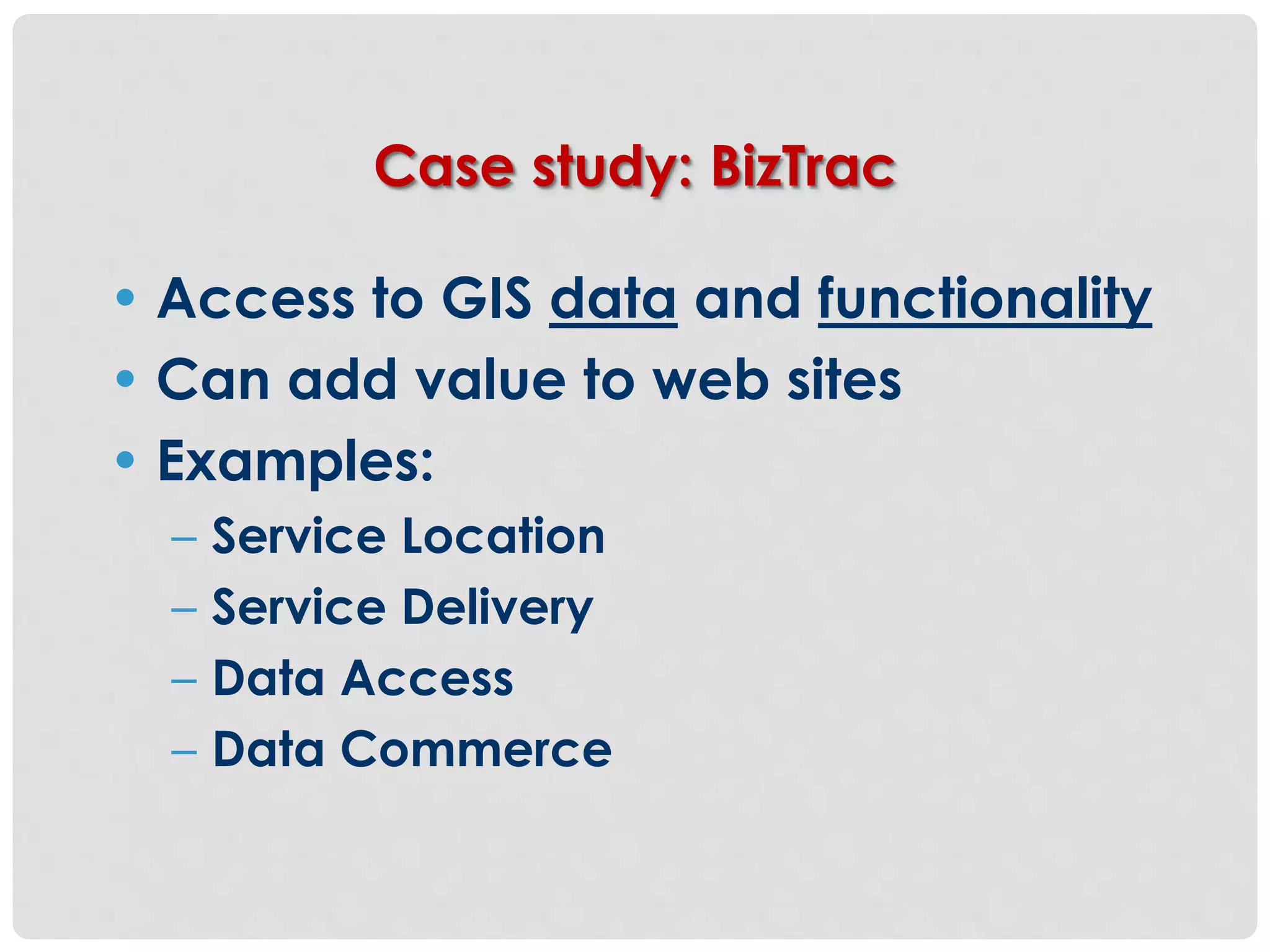
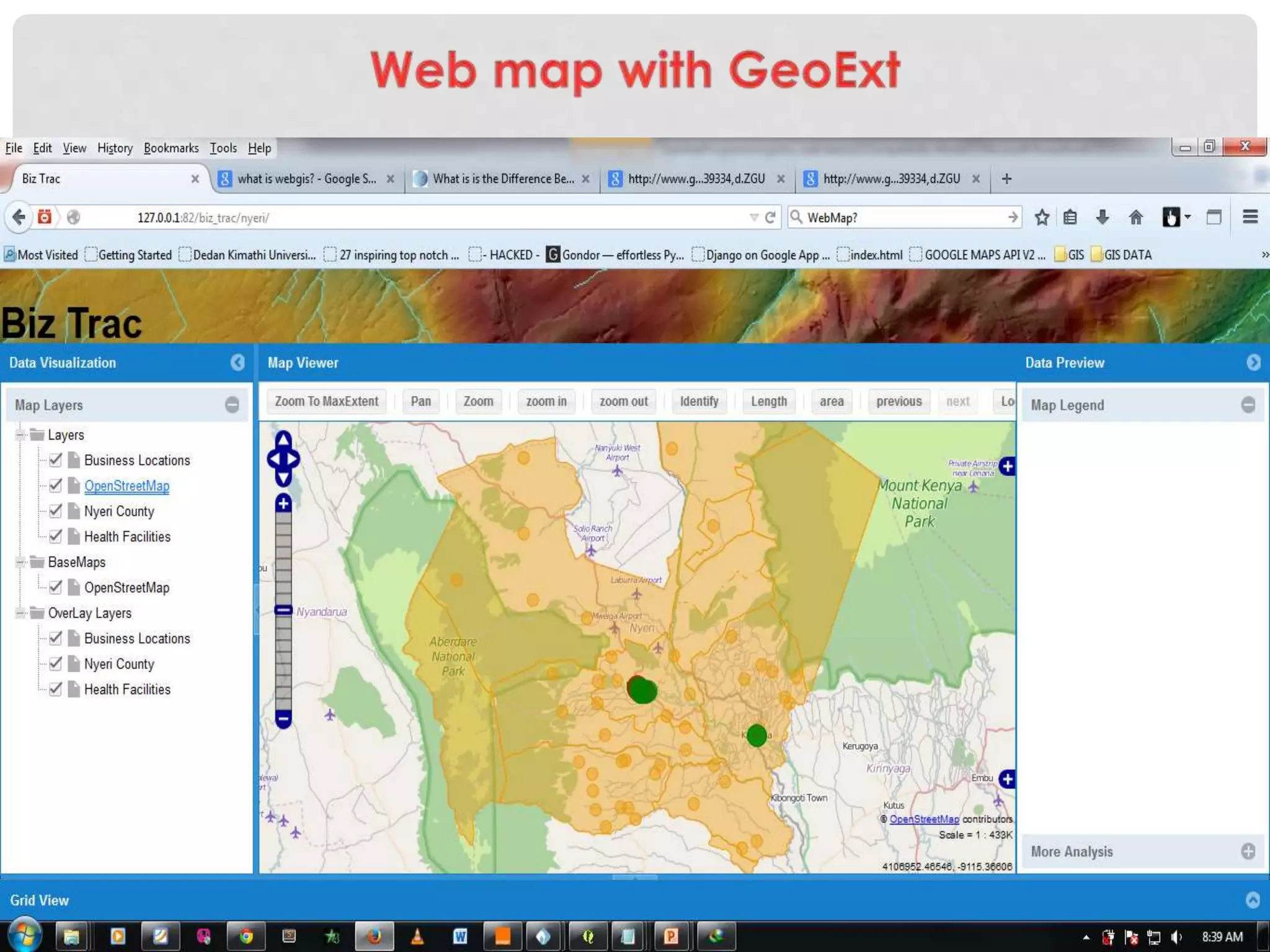
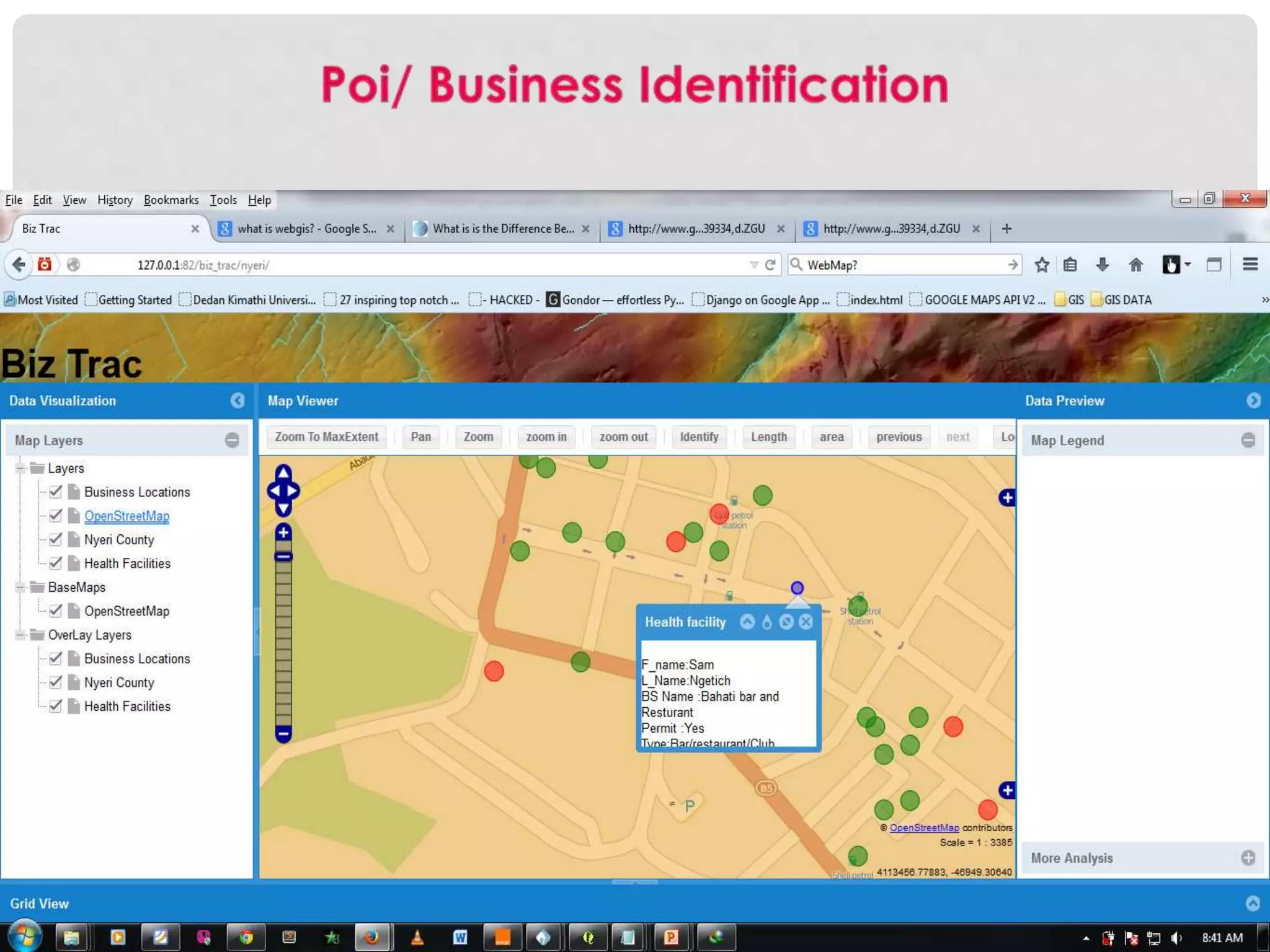
Application of GIS in a case study (BizTrac), concluding remarks on the importance of WebGIS databases in spatial analysis.


![[Pgday.Seoul 2017] 1. PostGIS의 사례로 본 PostgreSQL 확장 - 장병진](https://cdn.slidesharecdn.com/ss_thumbnails/postgispostgresqlpgday2017-171103060406-171106044046-thumbnail.jpg?width=600ounds&width=560&fit=bounds)


