Download as PDF, PPTX


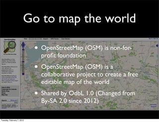
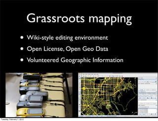
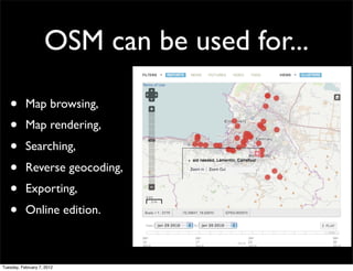
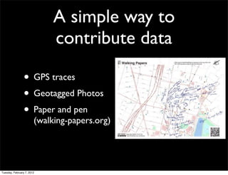

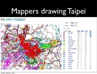
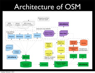
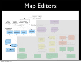
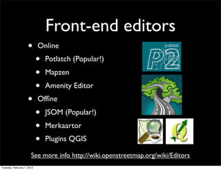
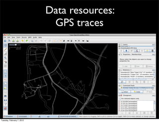

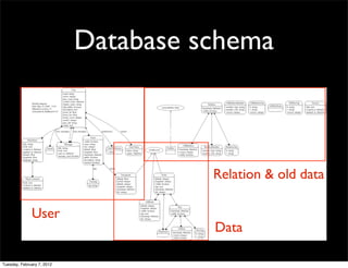
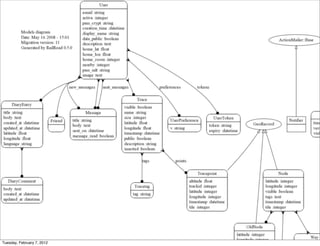
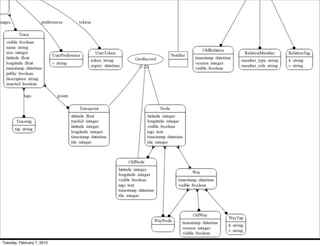
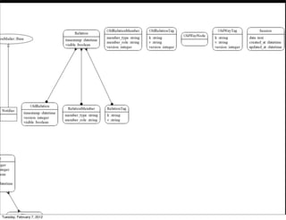
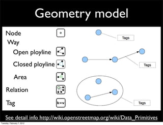
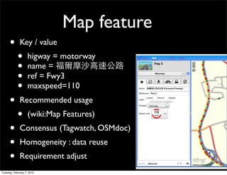

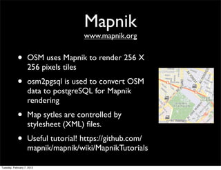
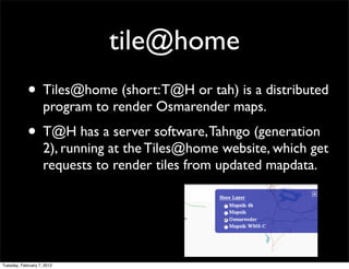
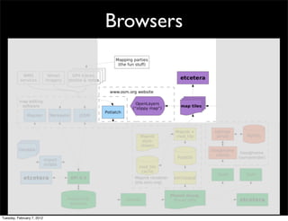


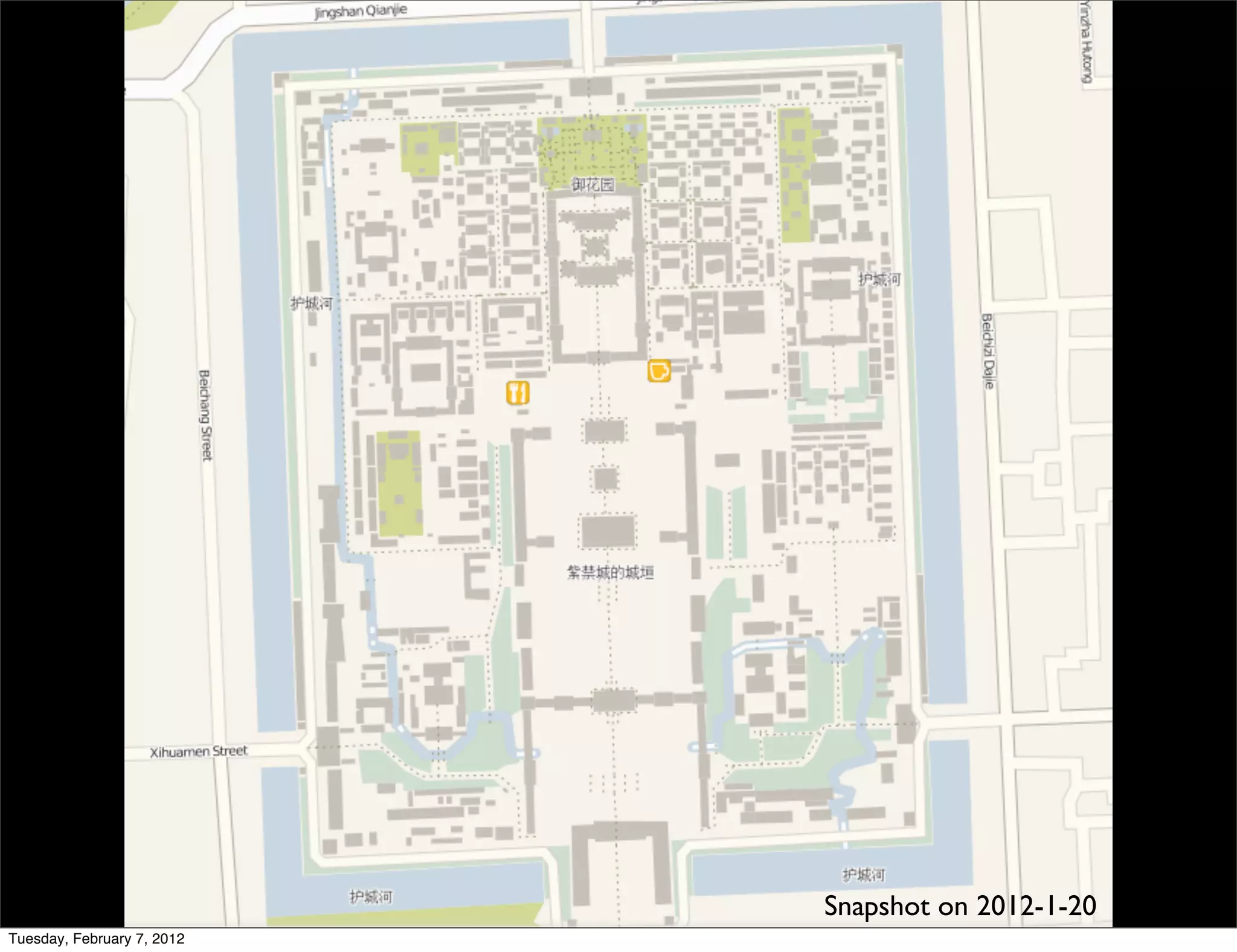
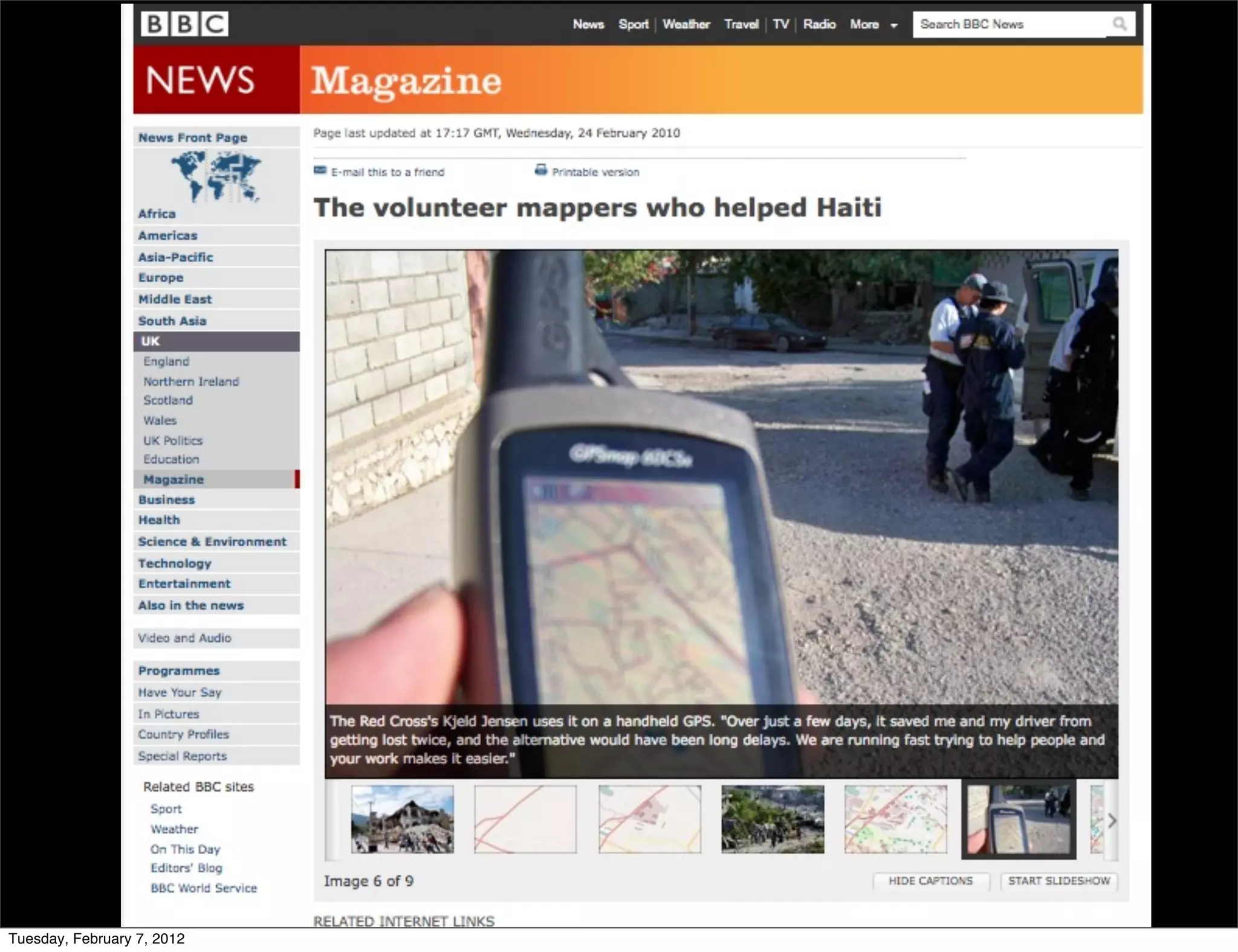
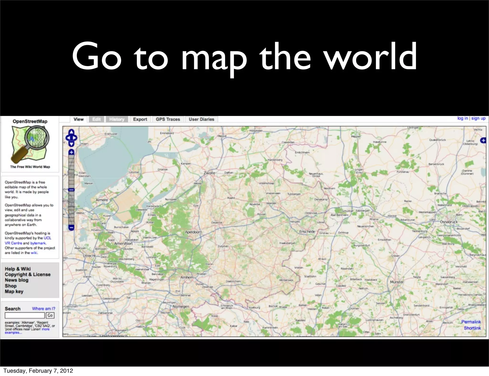
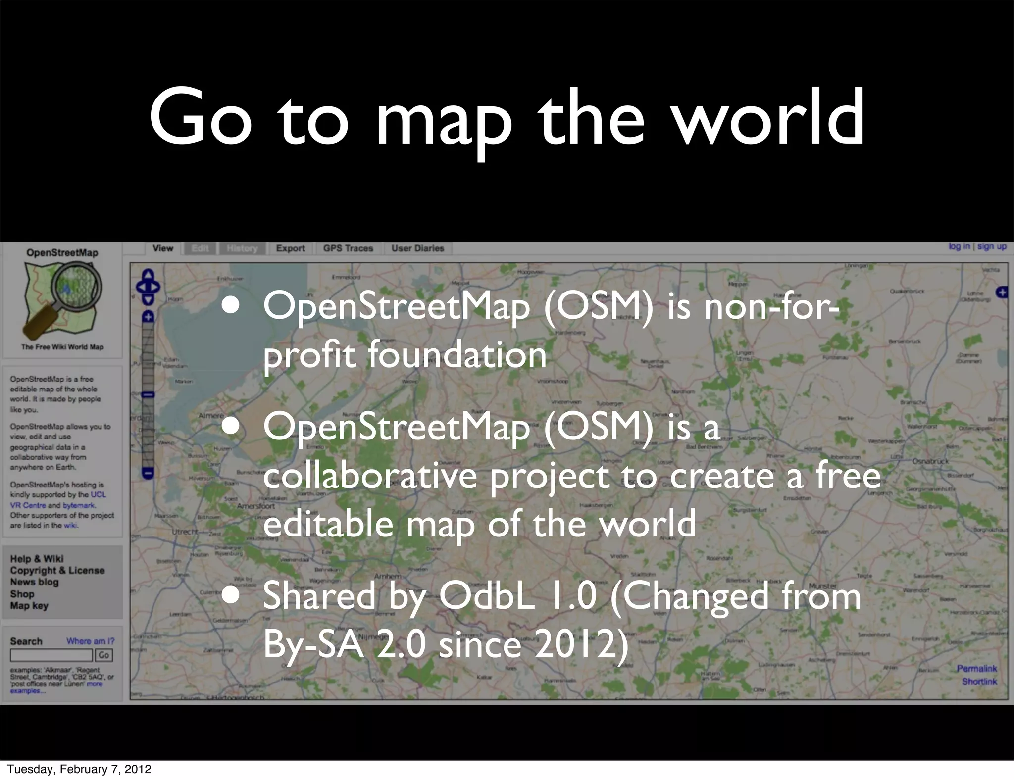
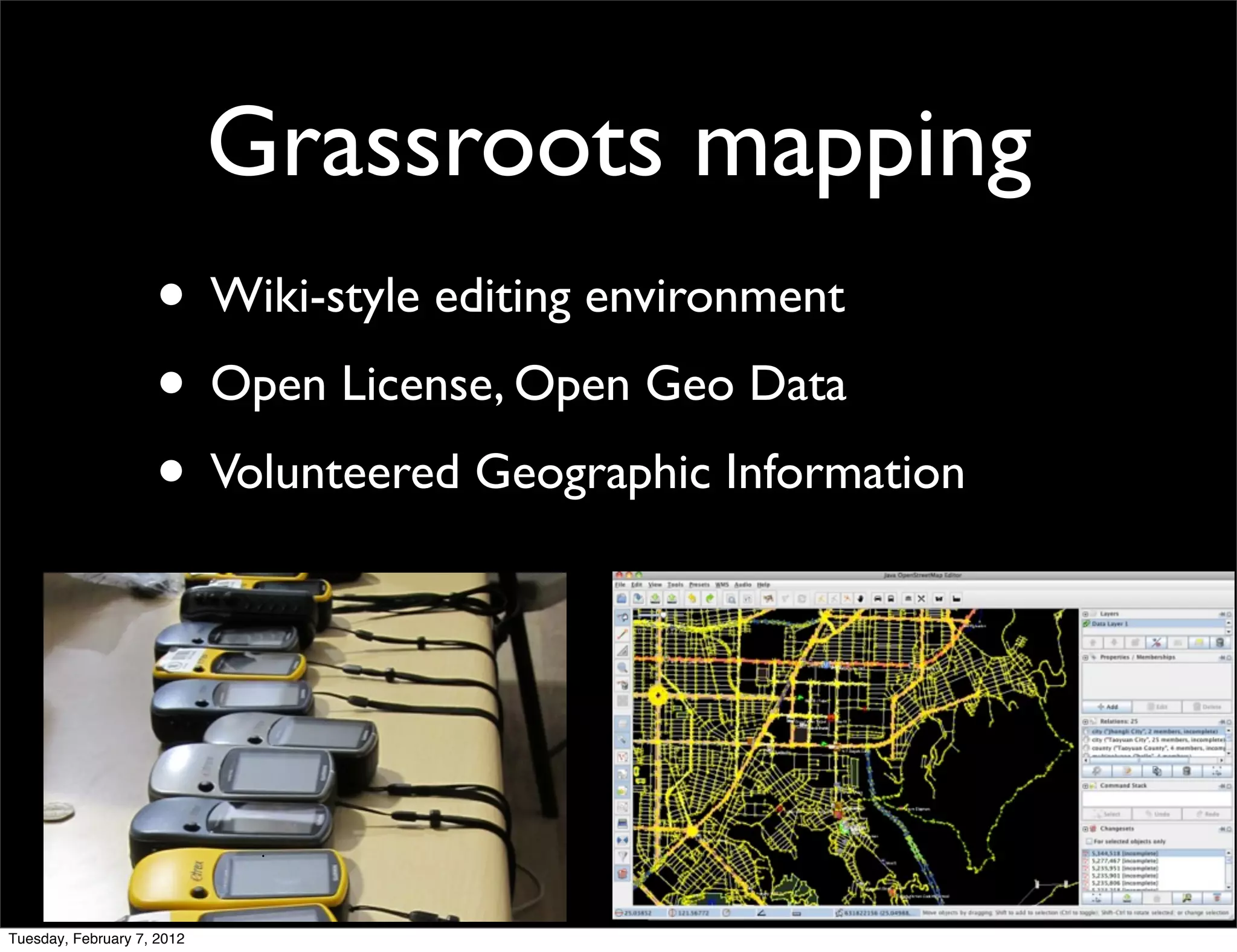

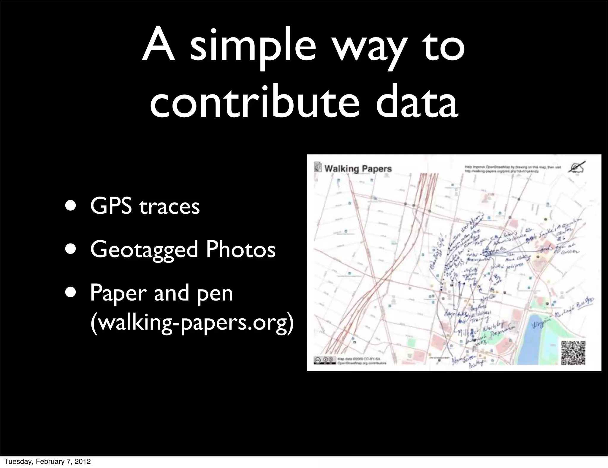
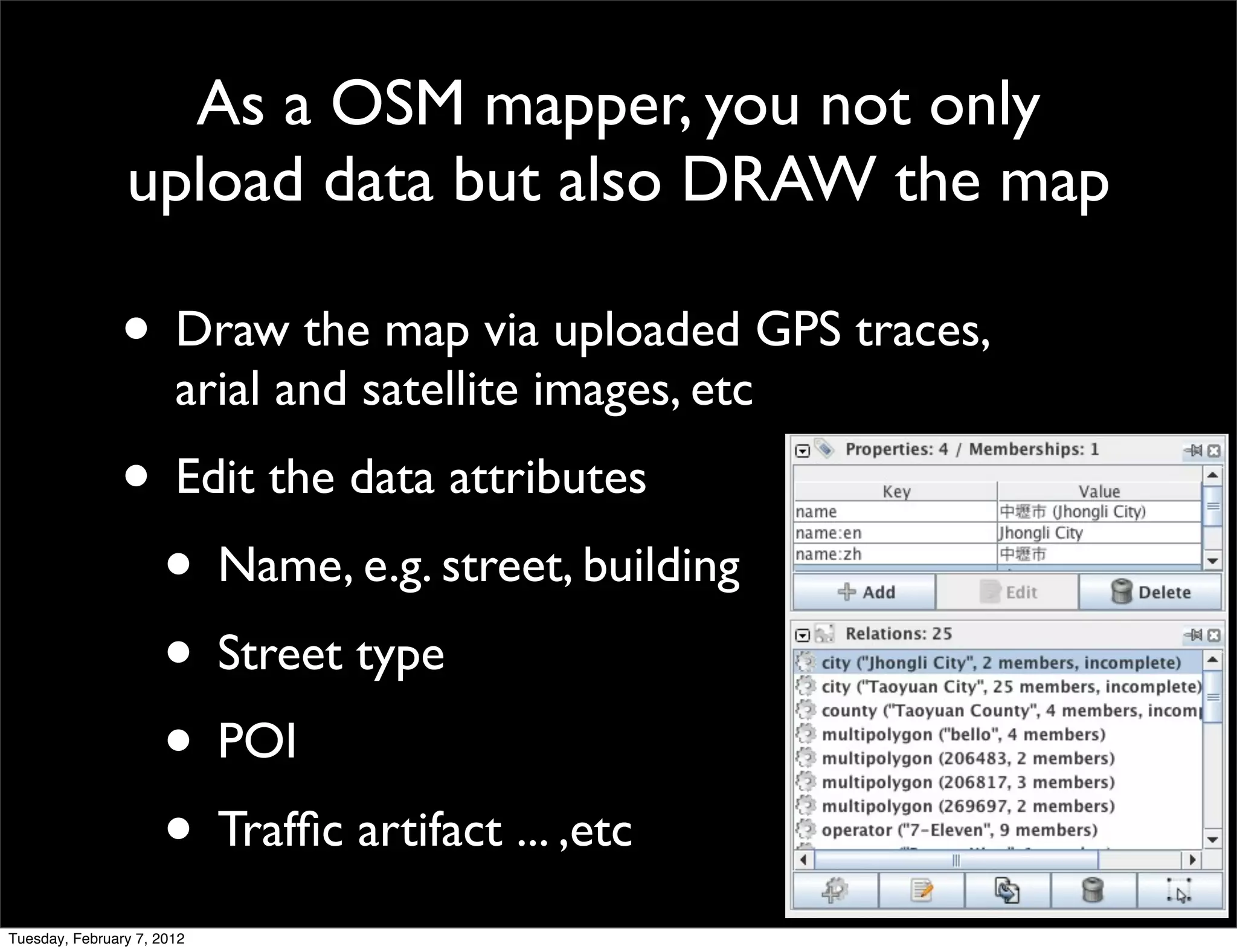
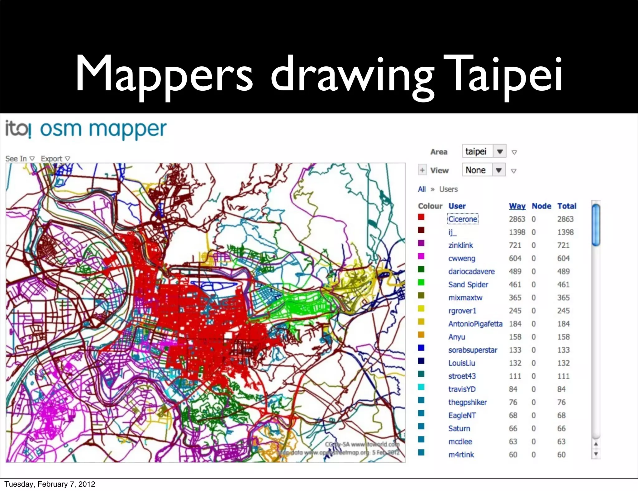
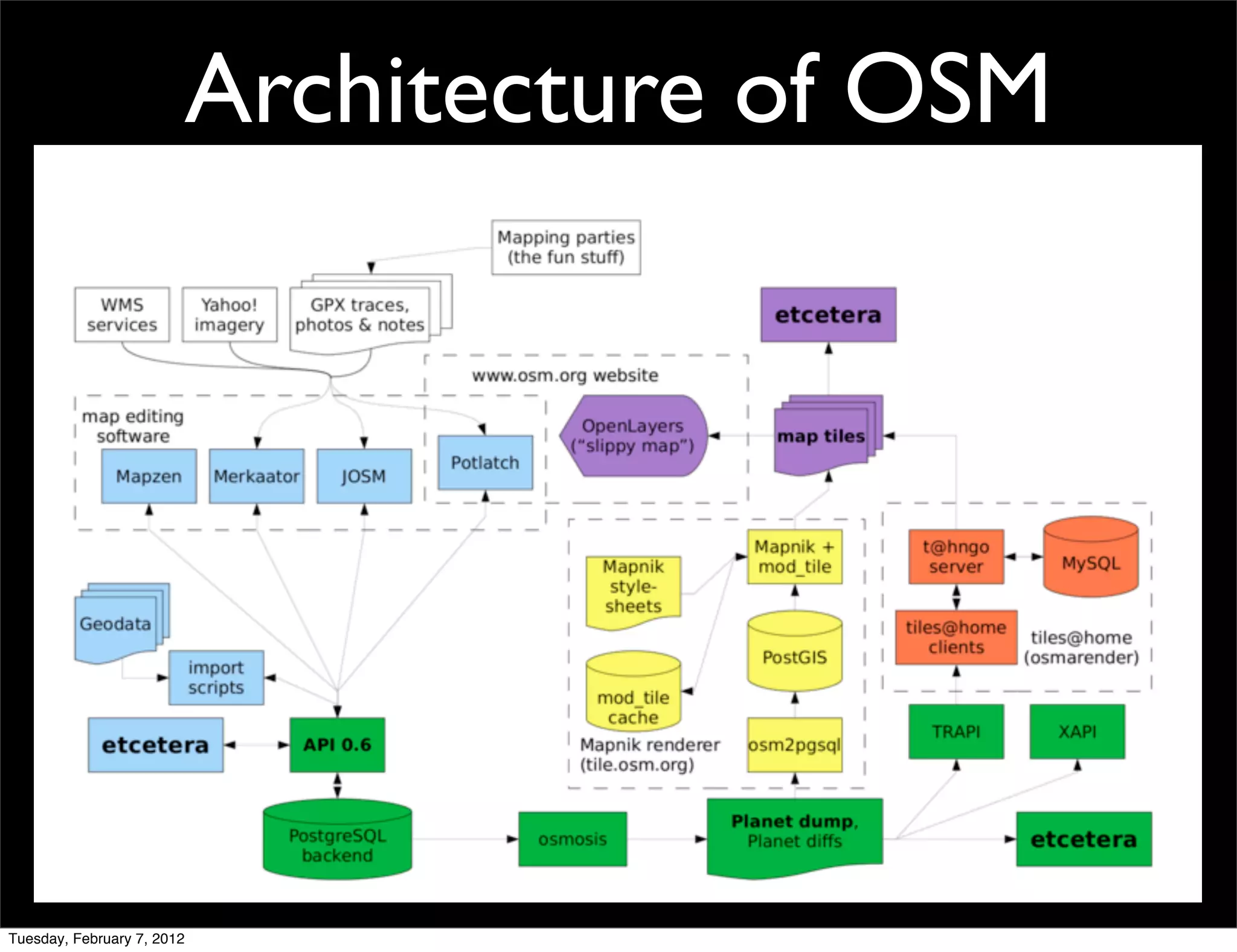

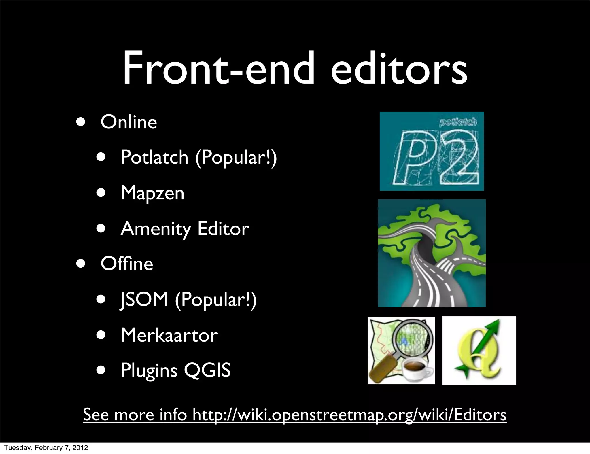
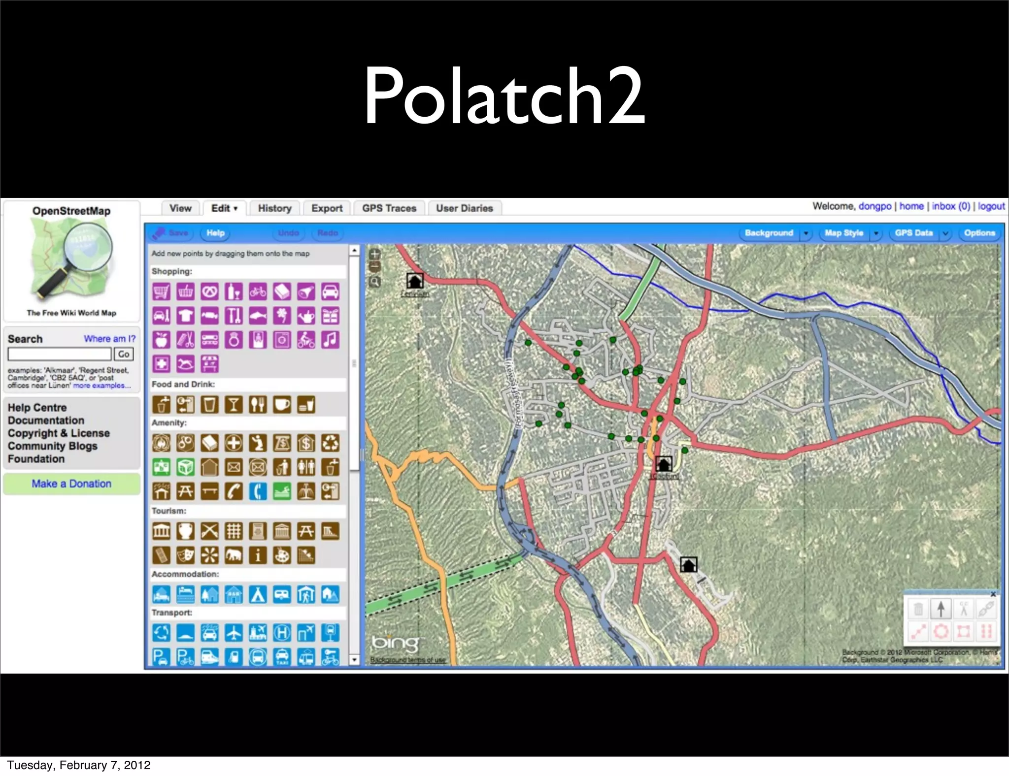
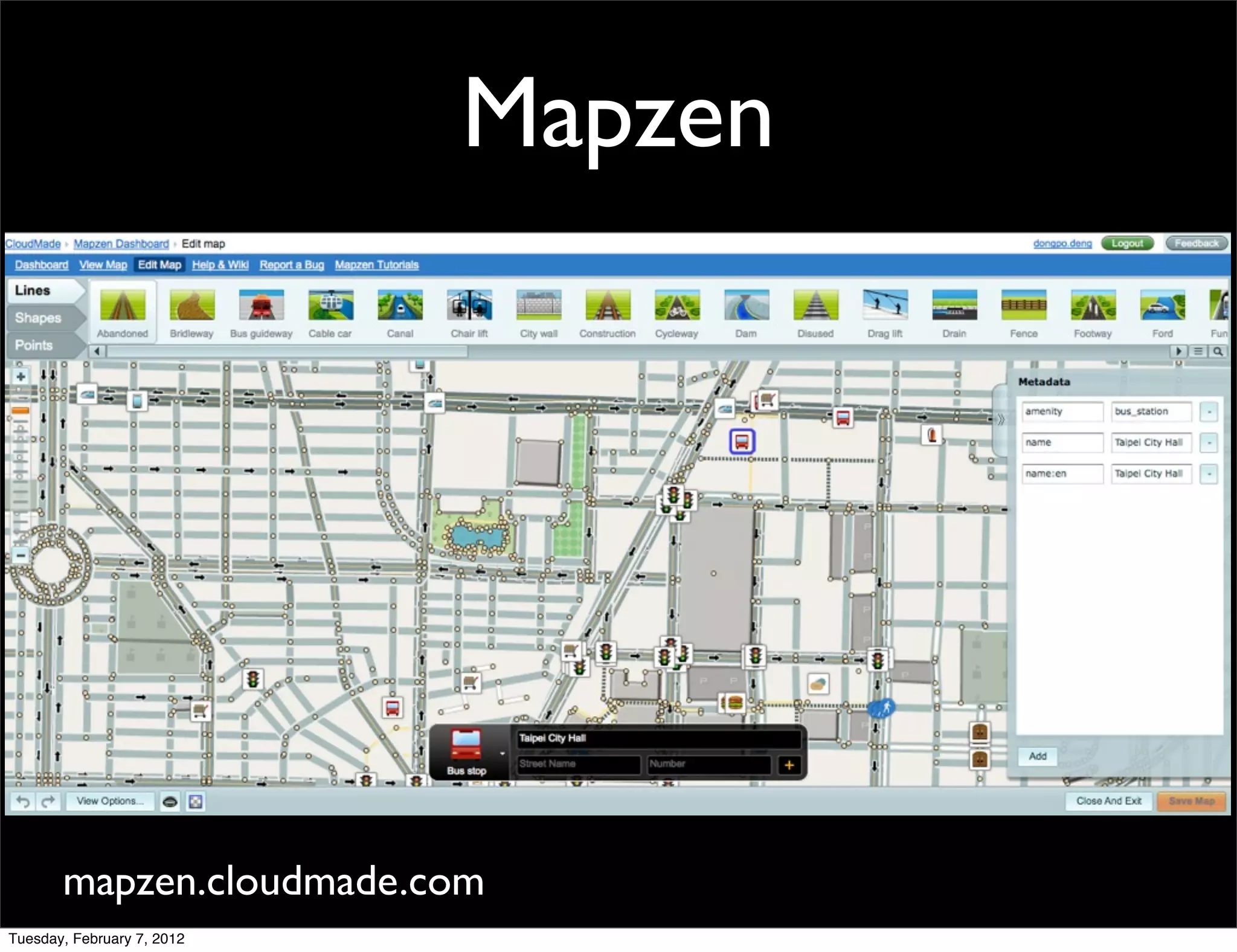

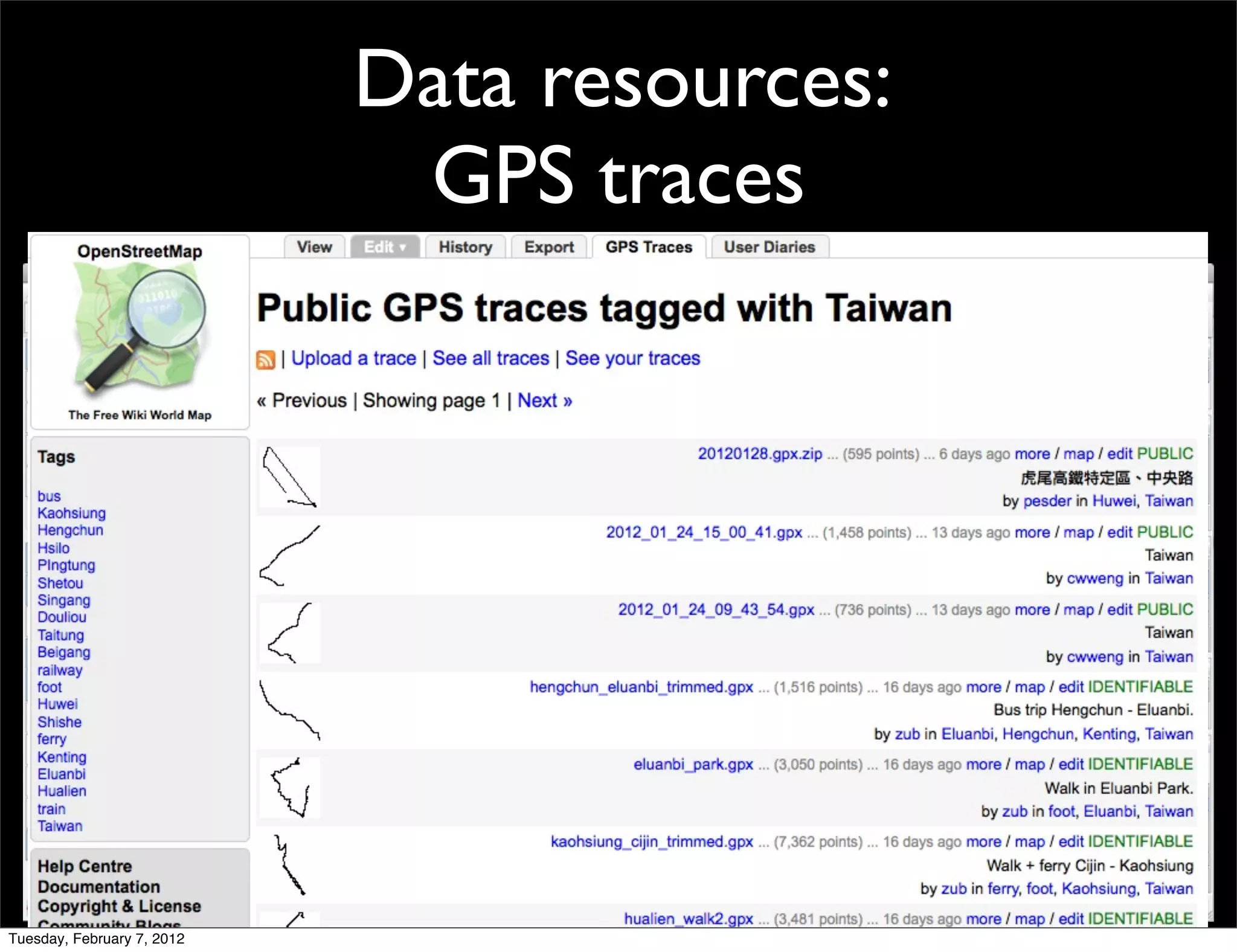
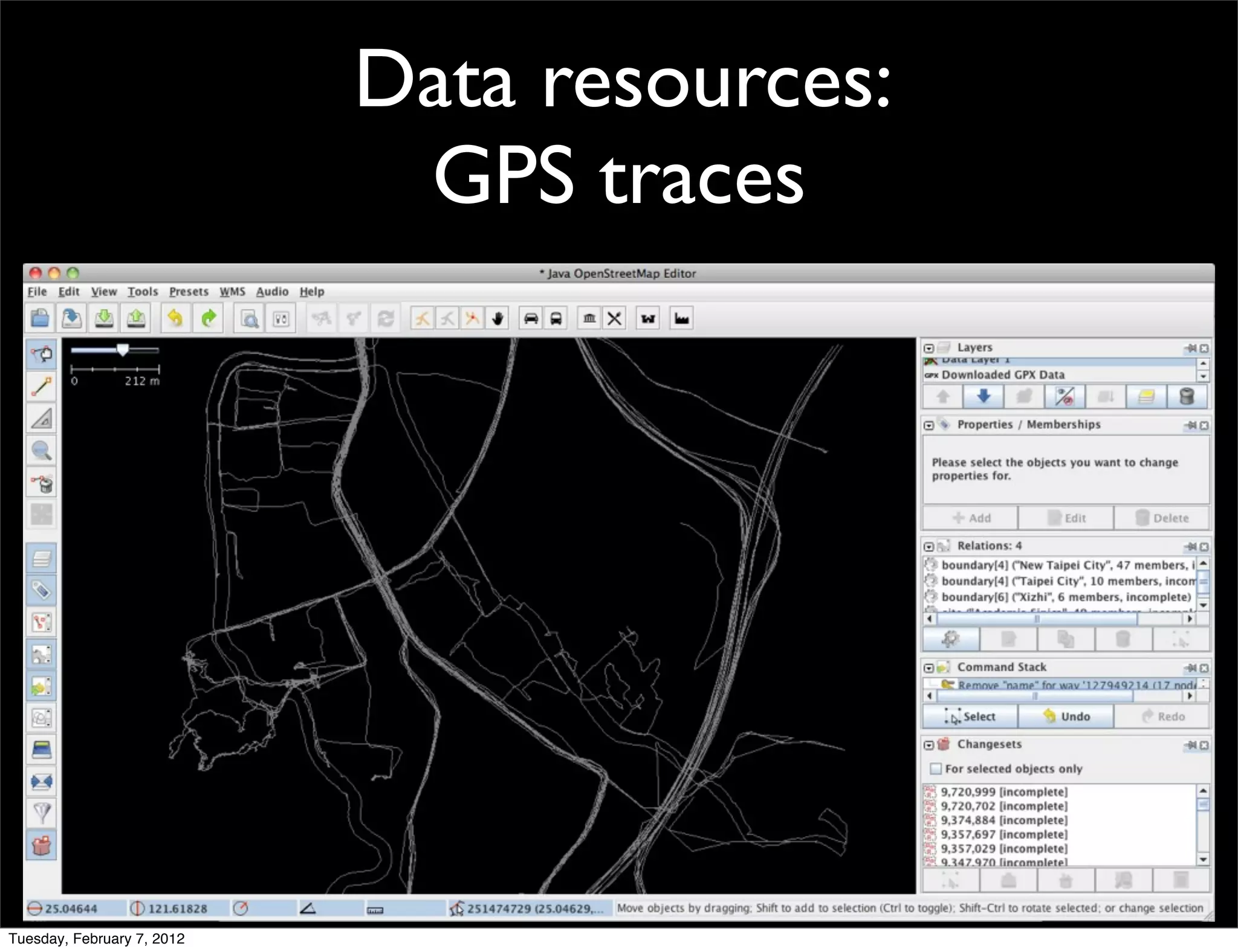
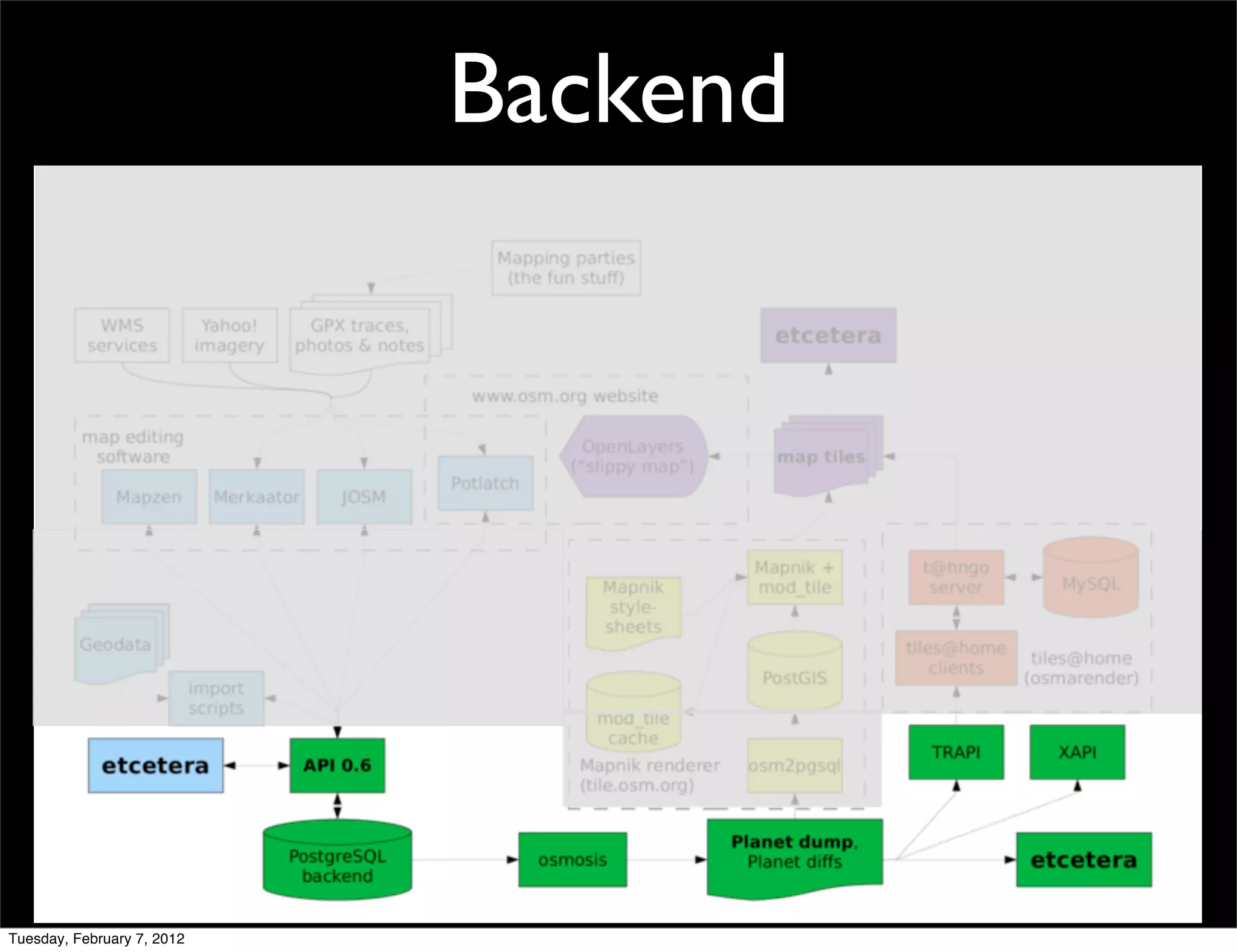

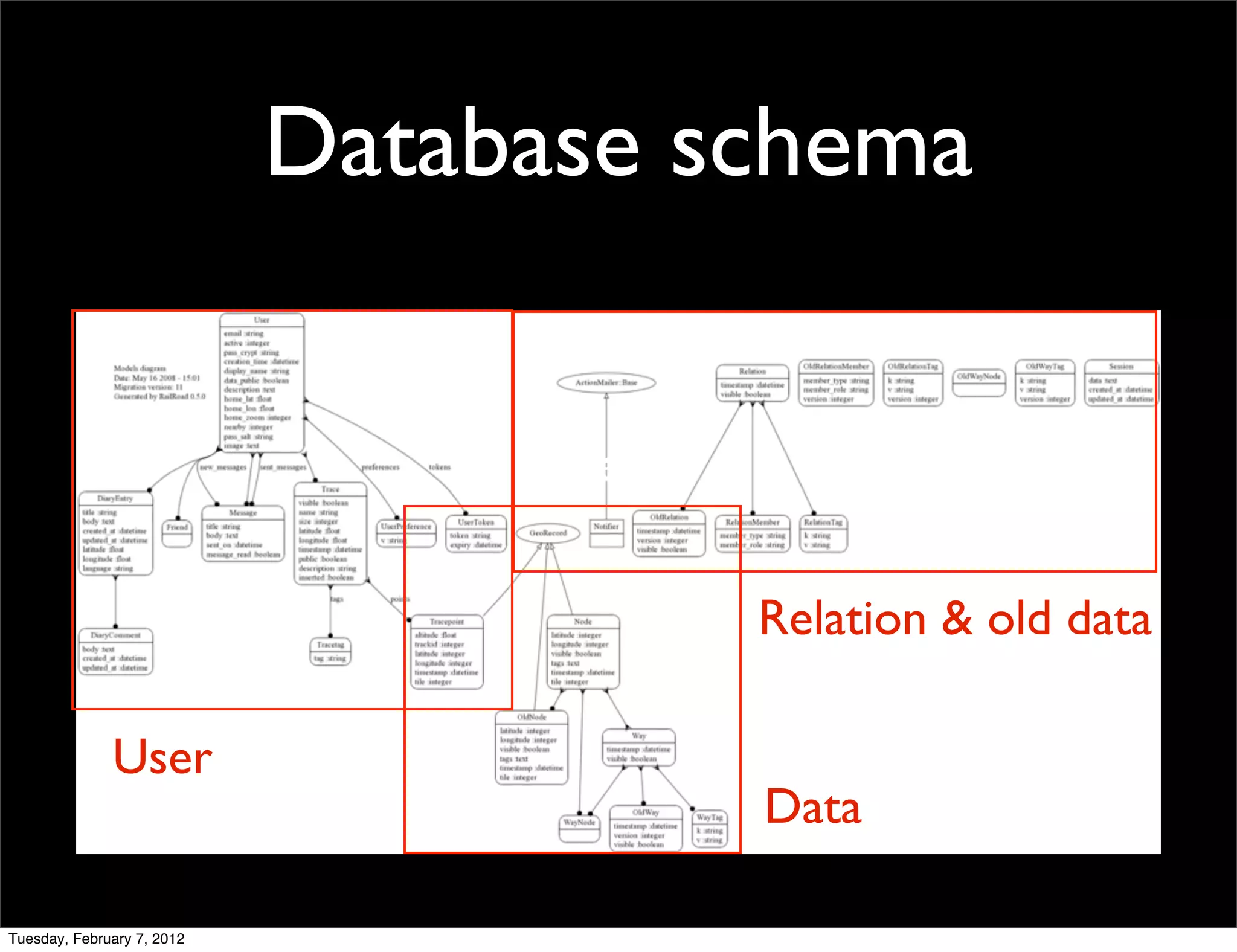
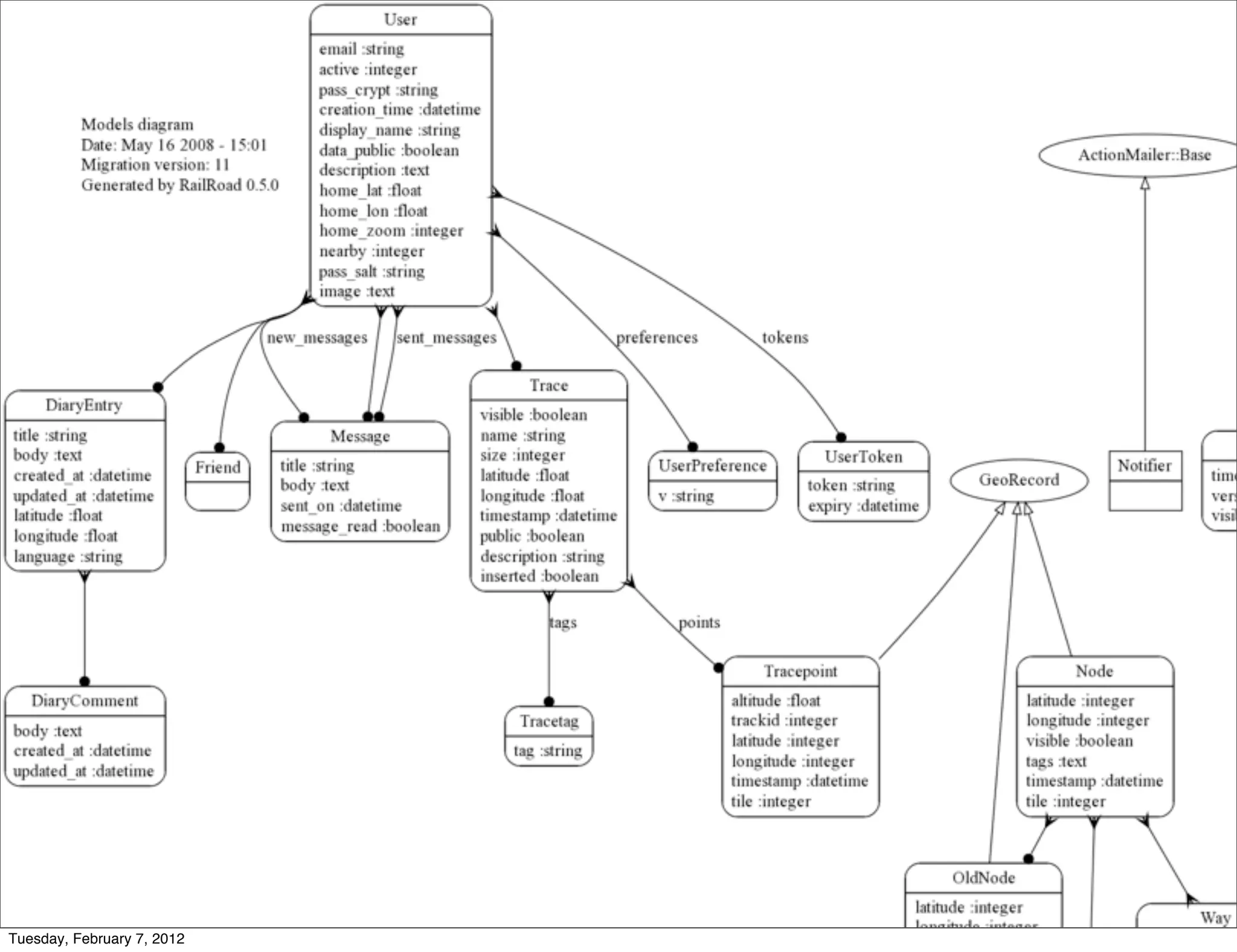

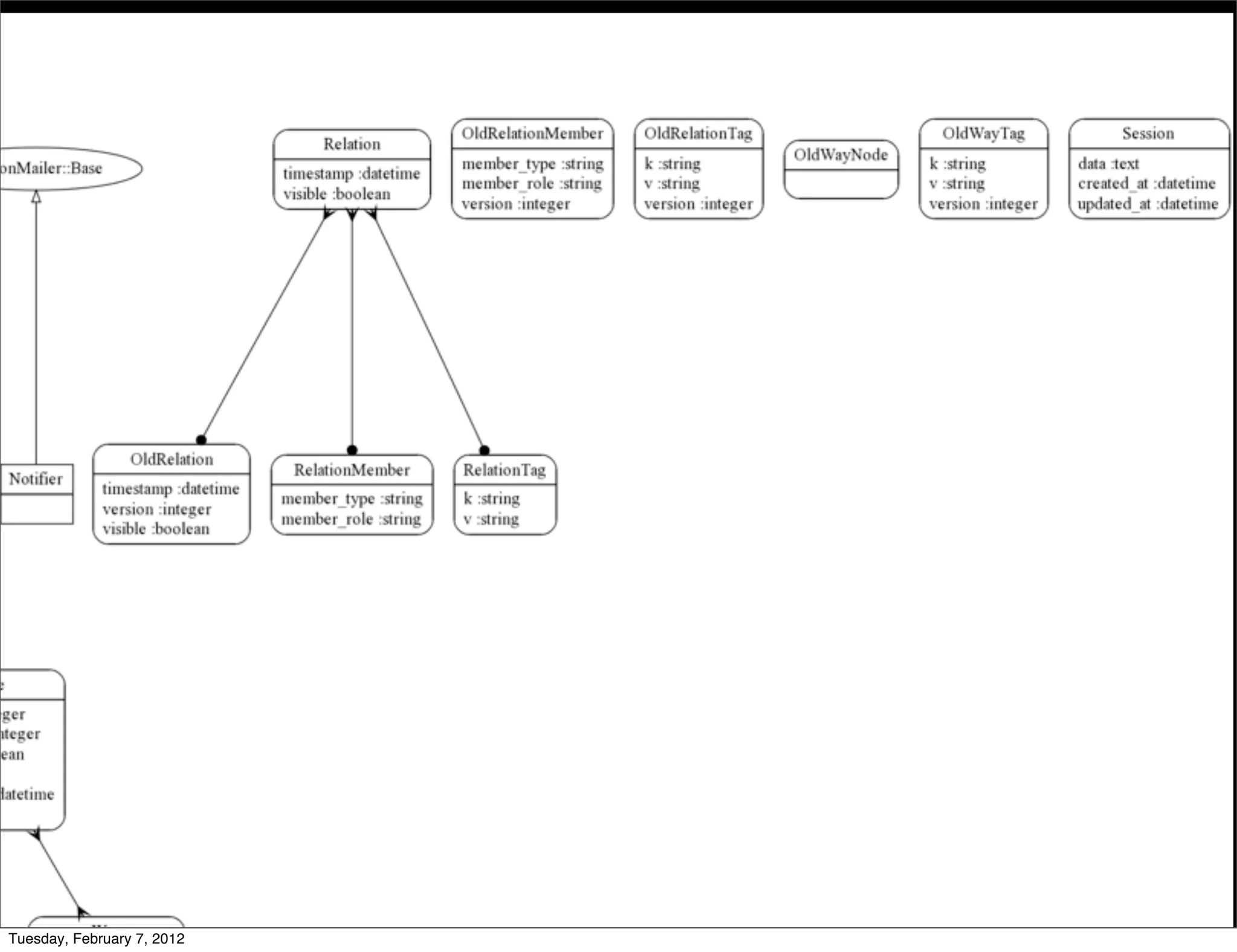

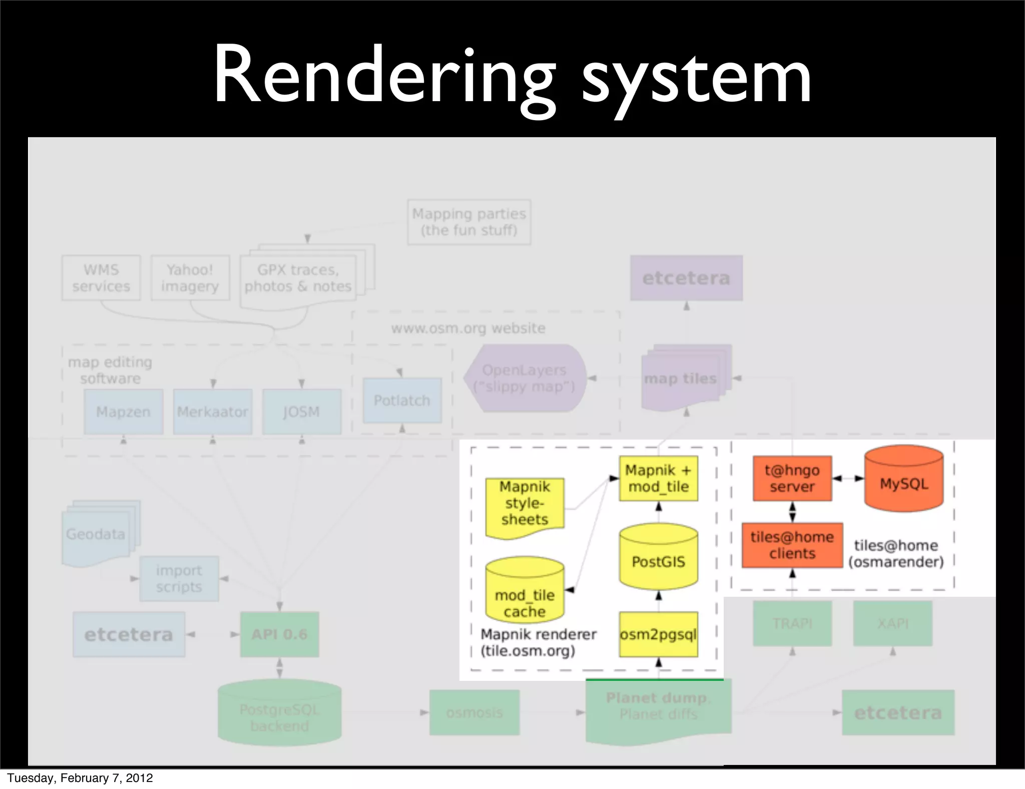
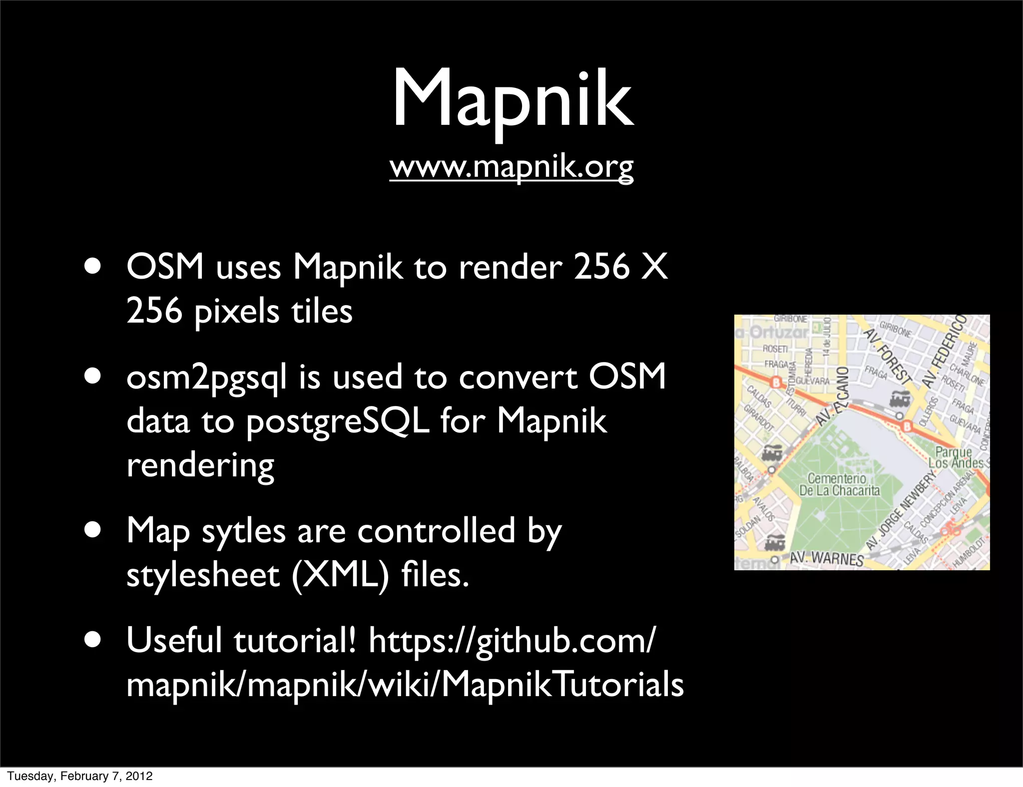

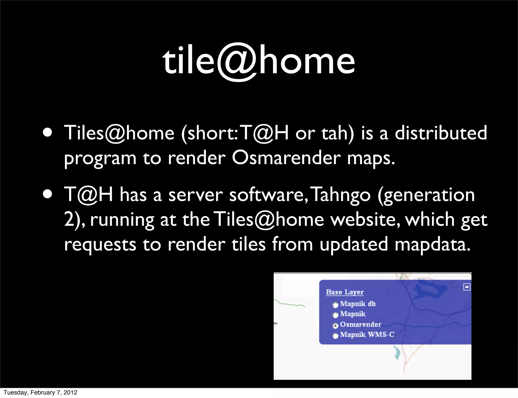
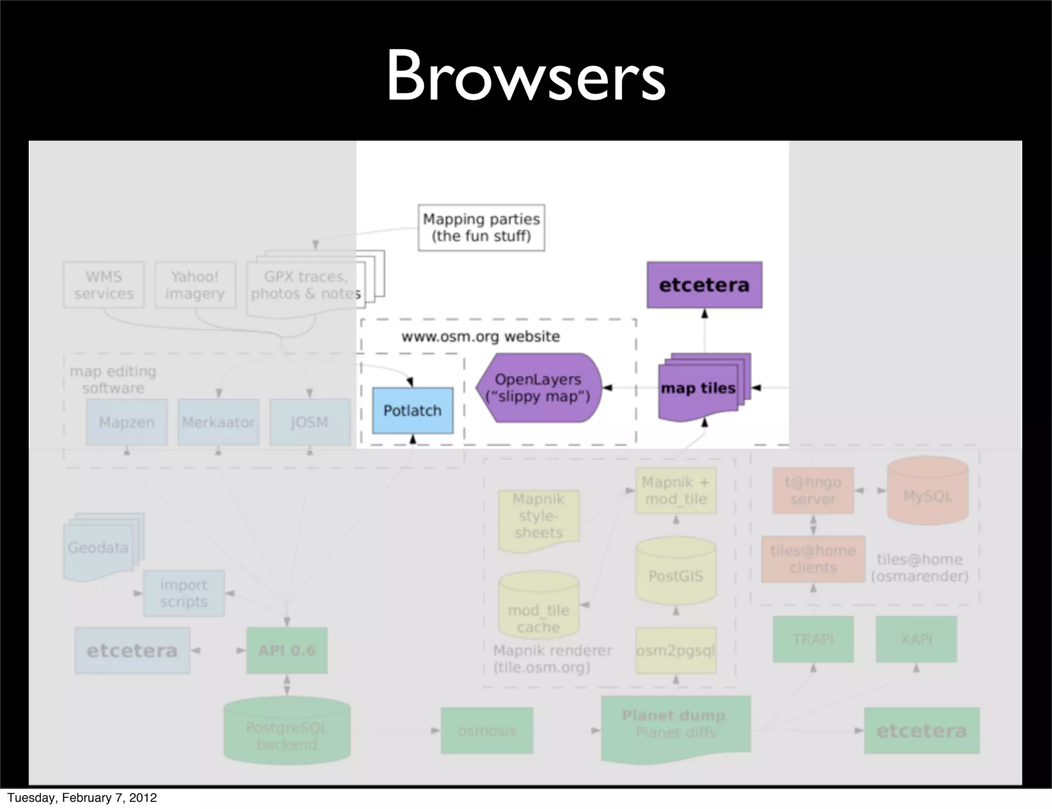

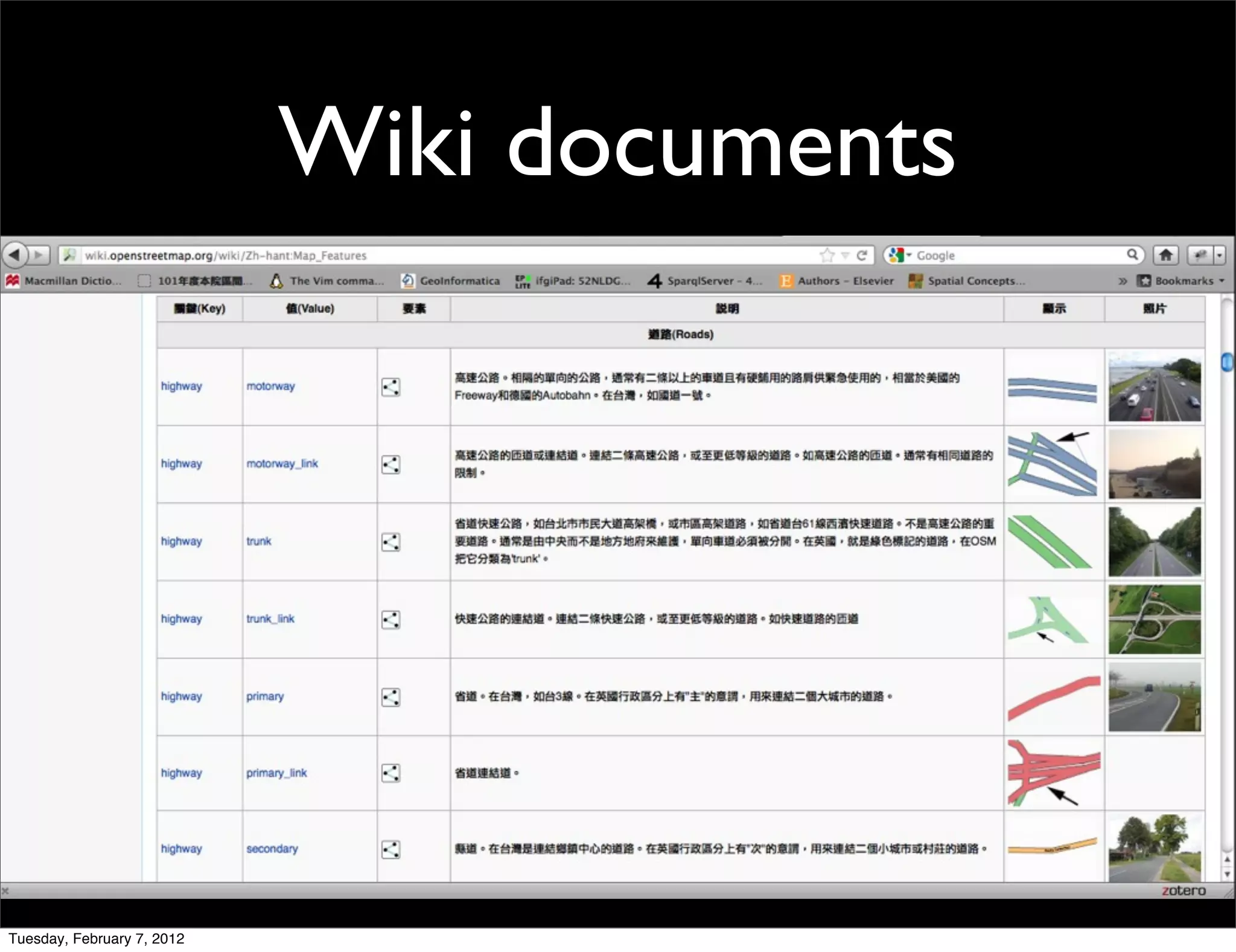

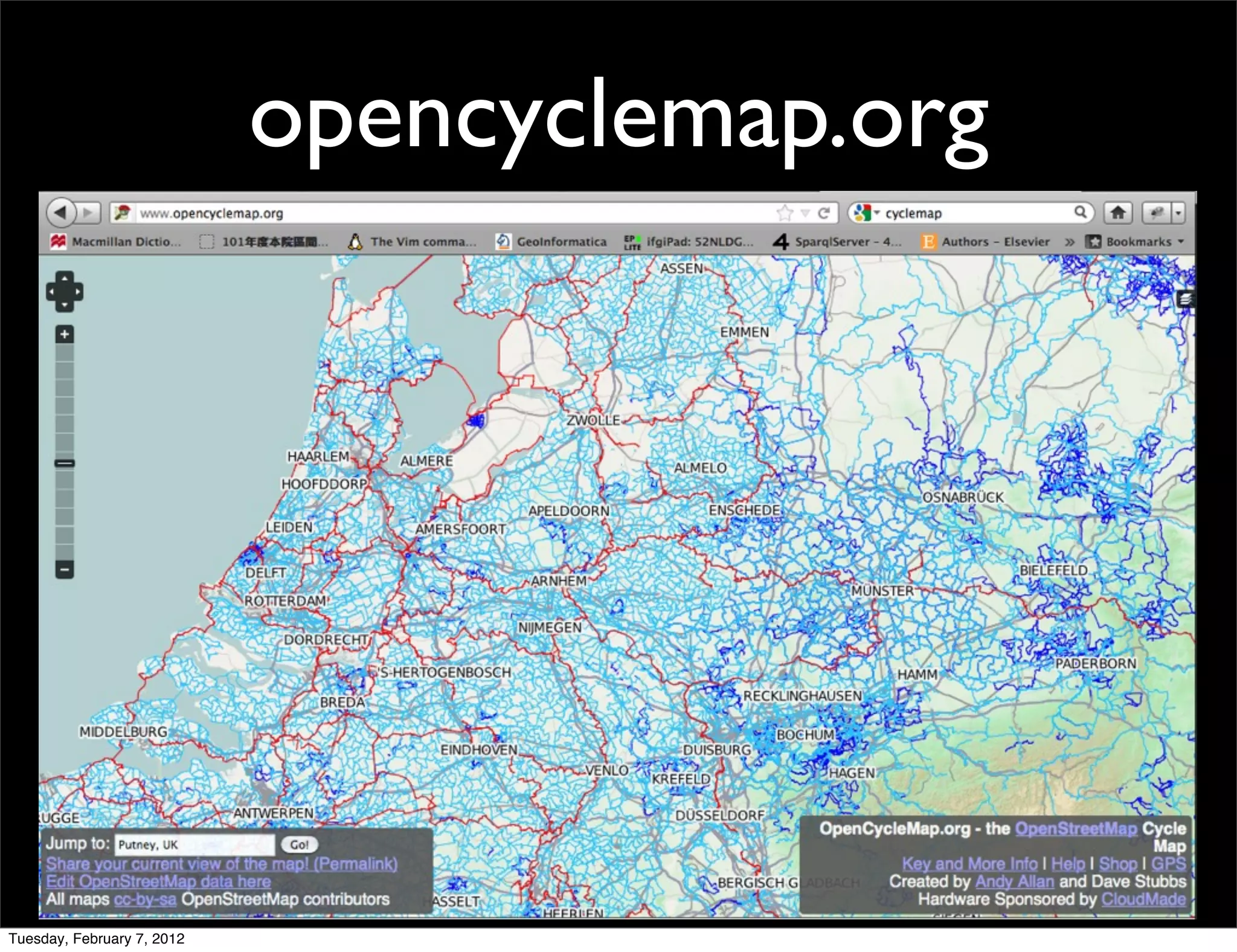
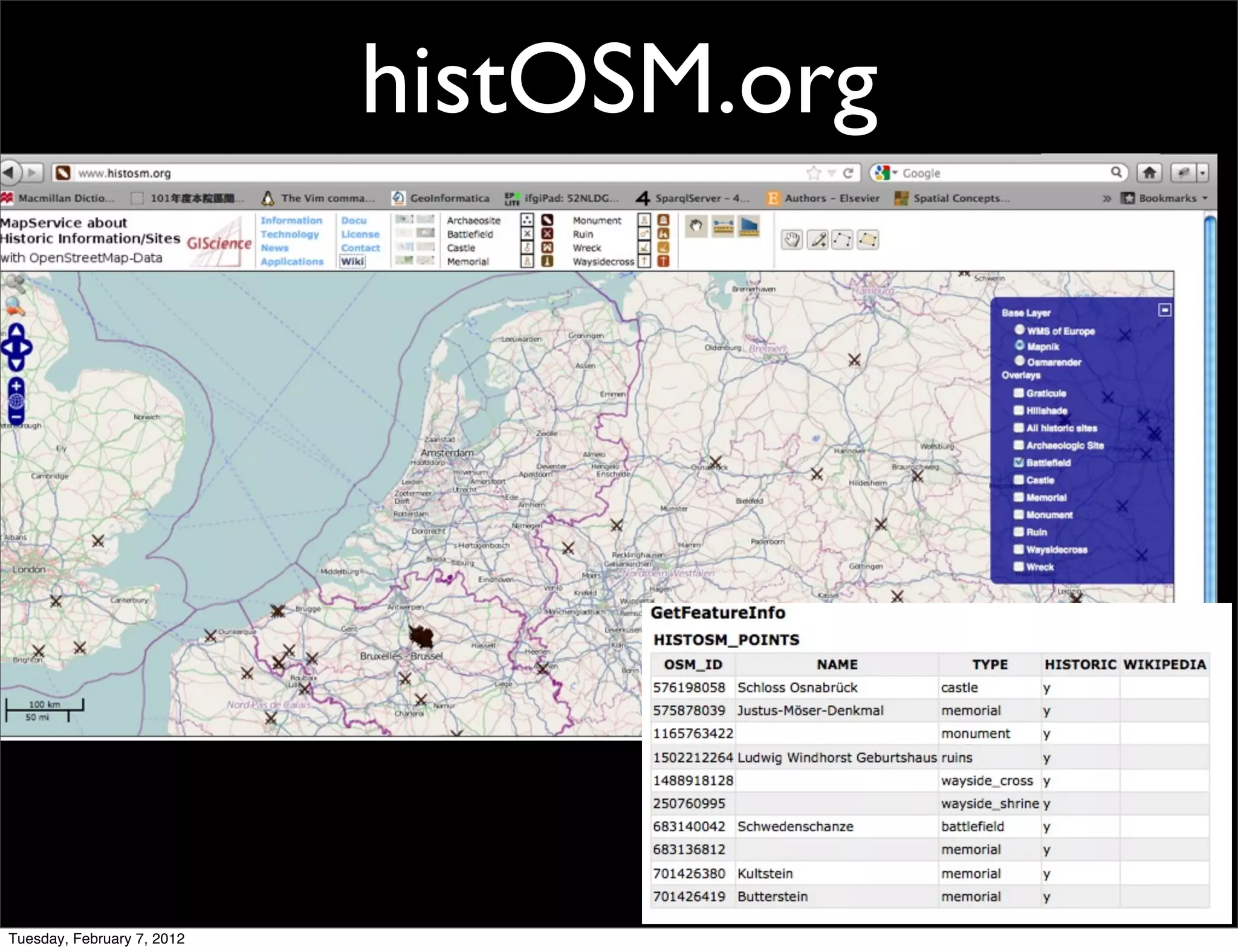
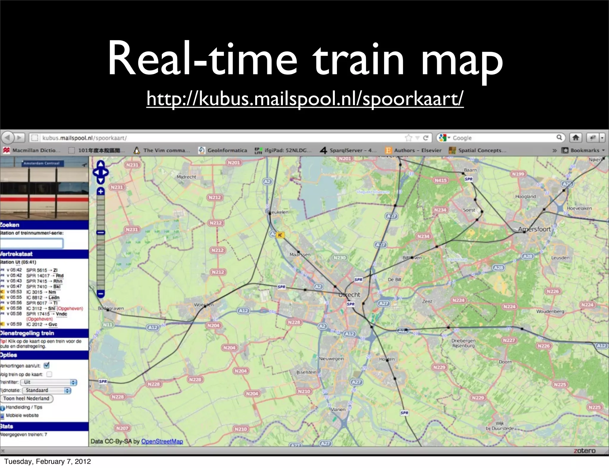

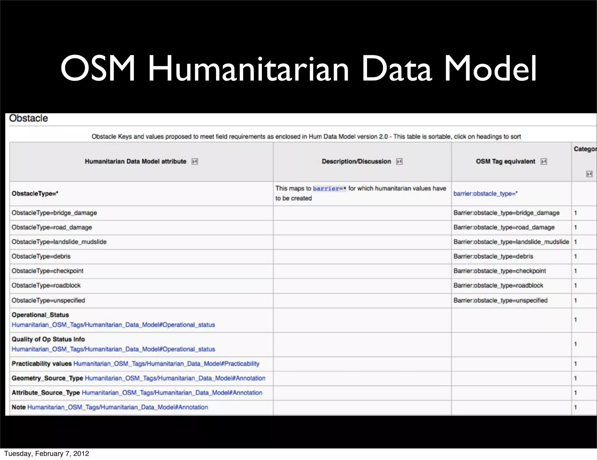


This document provides an overview of OpenStreetMap (OSM), including its major components, mapping techniques, data sources, editing tools, and rendering systems. OSM is a collaborative project that allows volunteers to collect and edit geographic map data that is made publicly available under an open license. Mappers can contribute data through GPS traces, photos, or paper maps, and edit map features using online or offline editors. OSM data is stored in a PostgreSQL database and rendered into tiles using Mapnik for display on websites and mobile apps through a "slippy map" interface.


