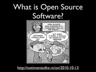
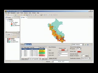
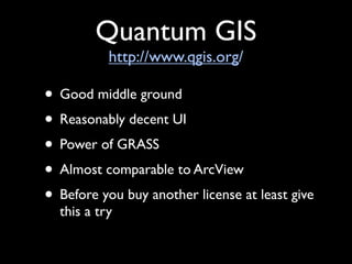
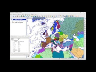
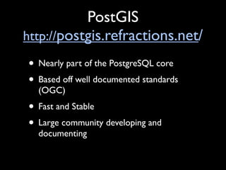
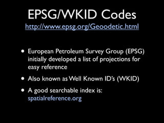
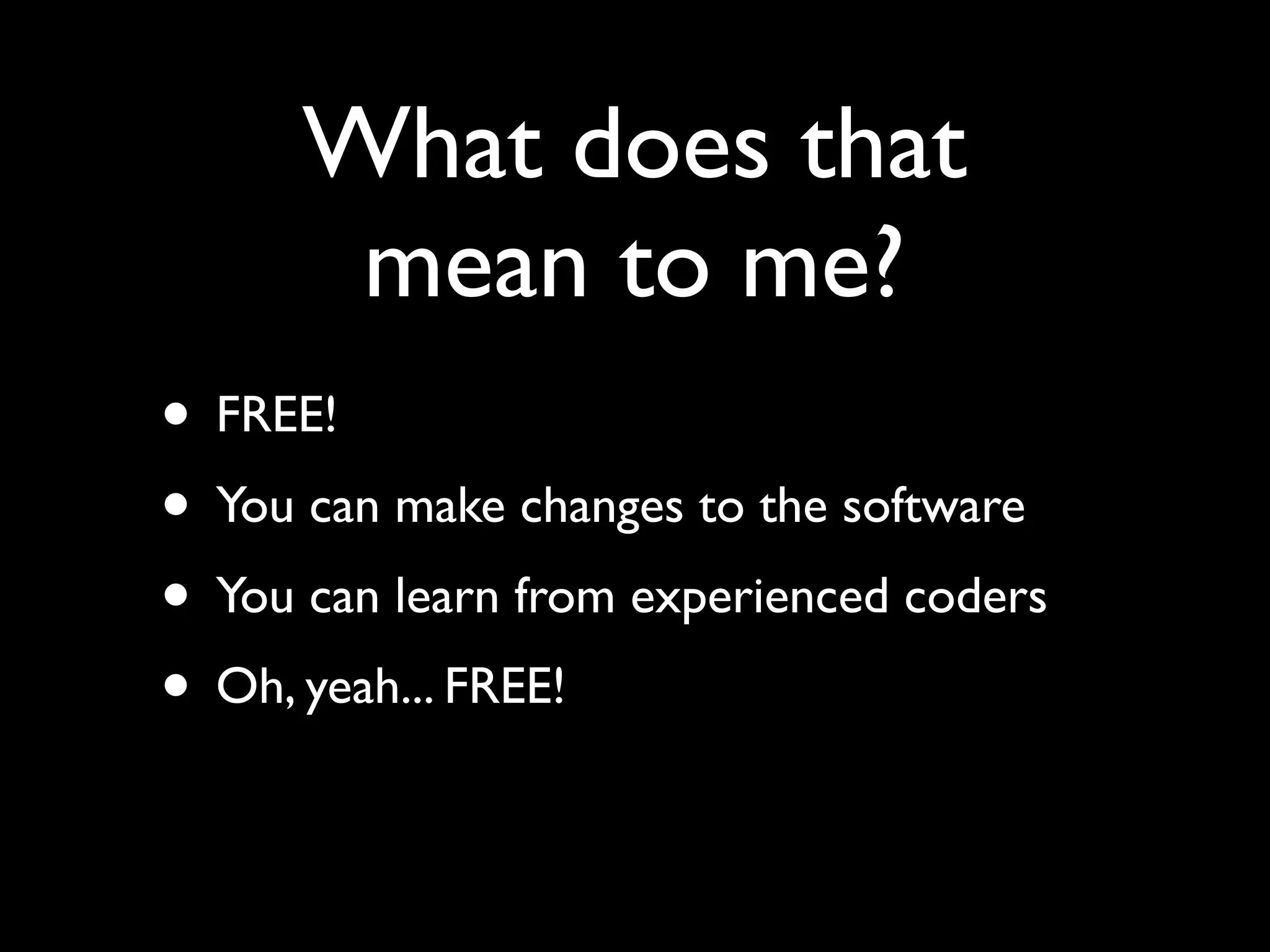
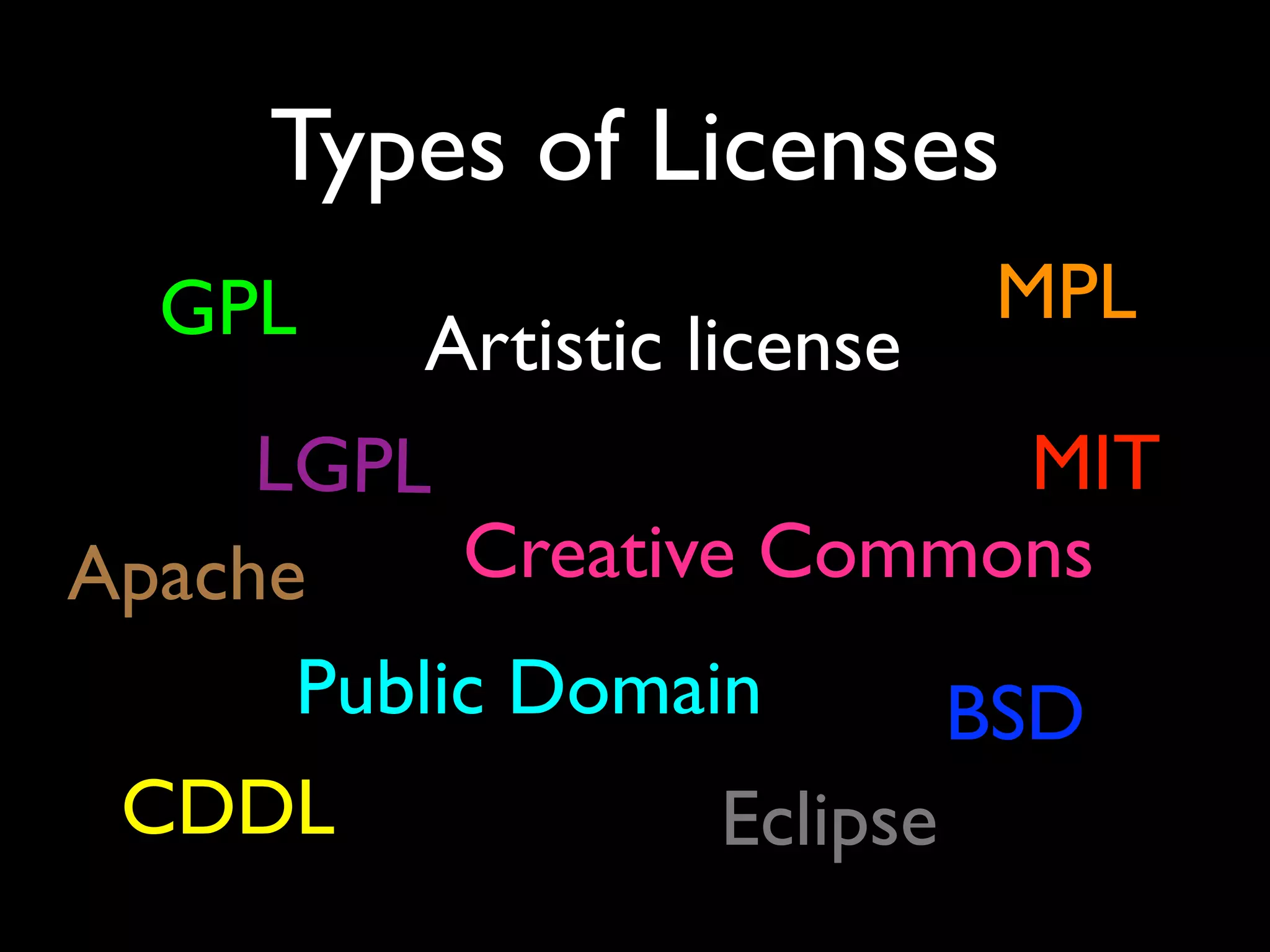
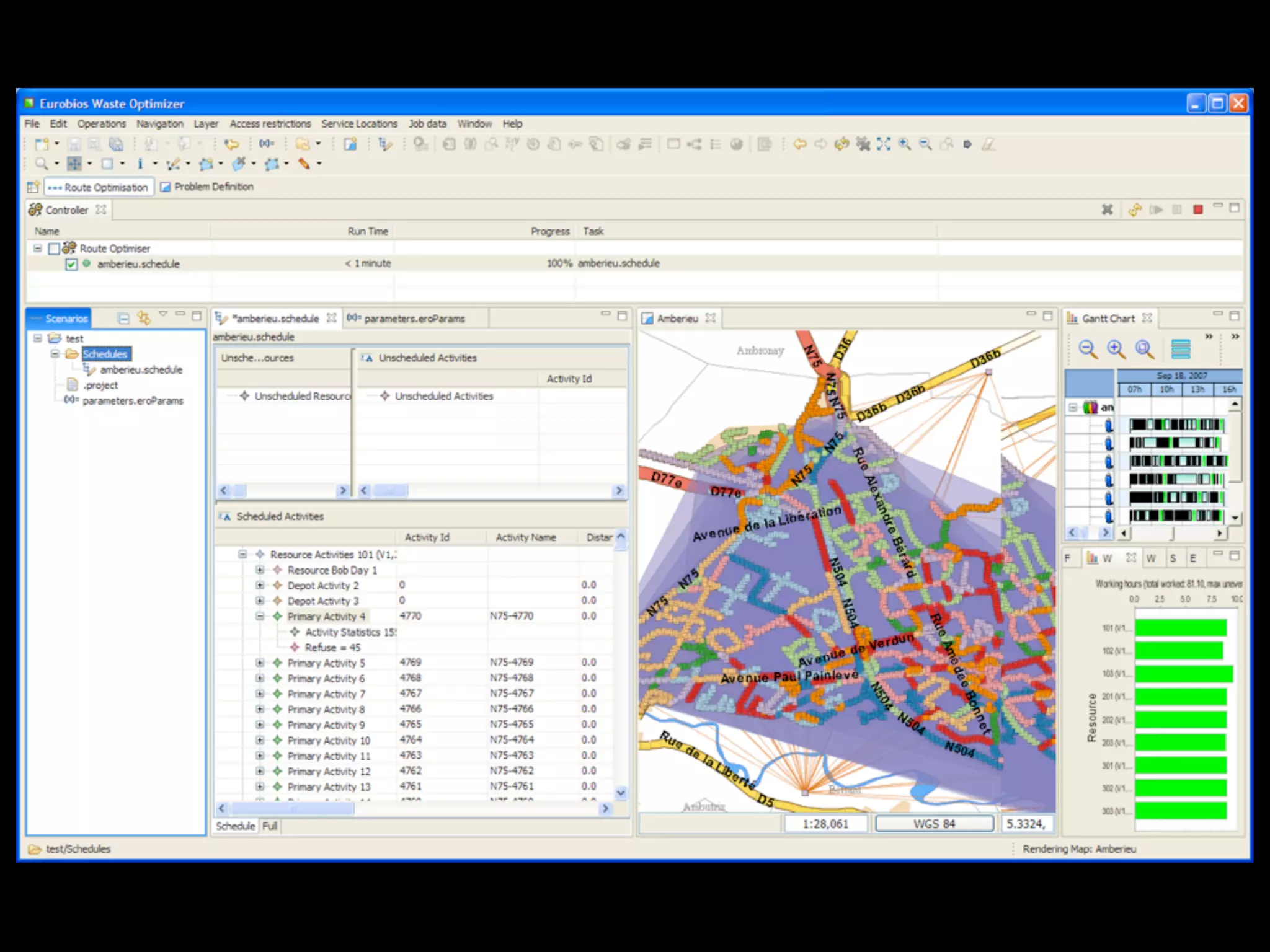
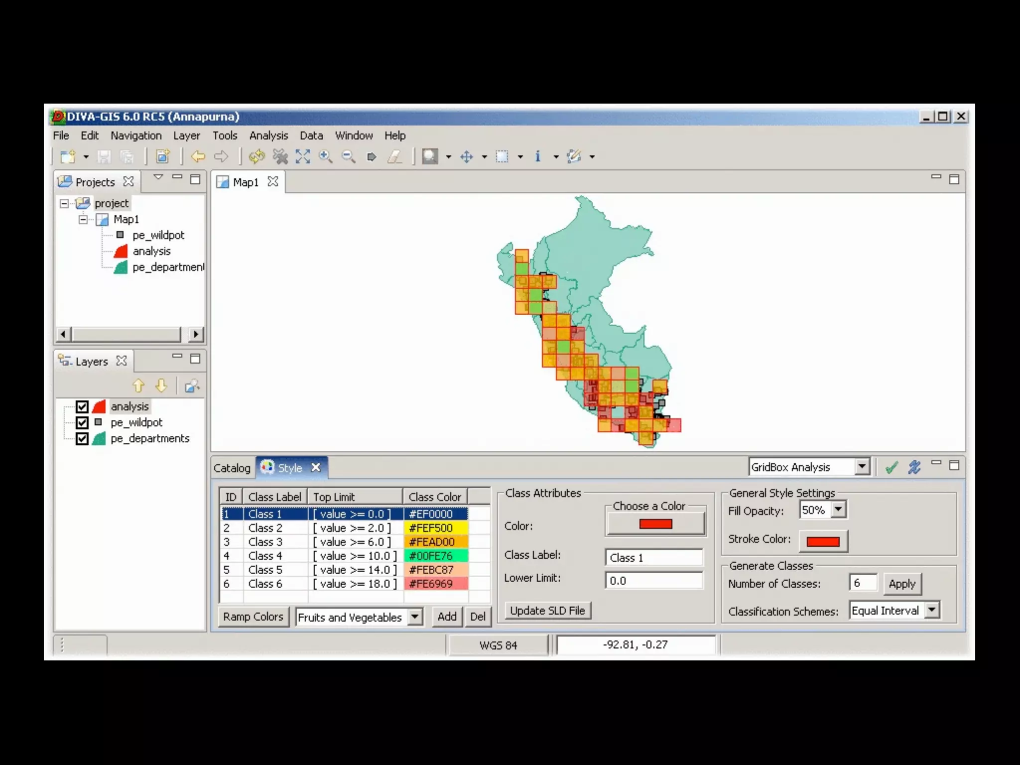
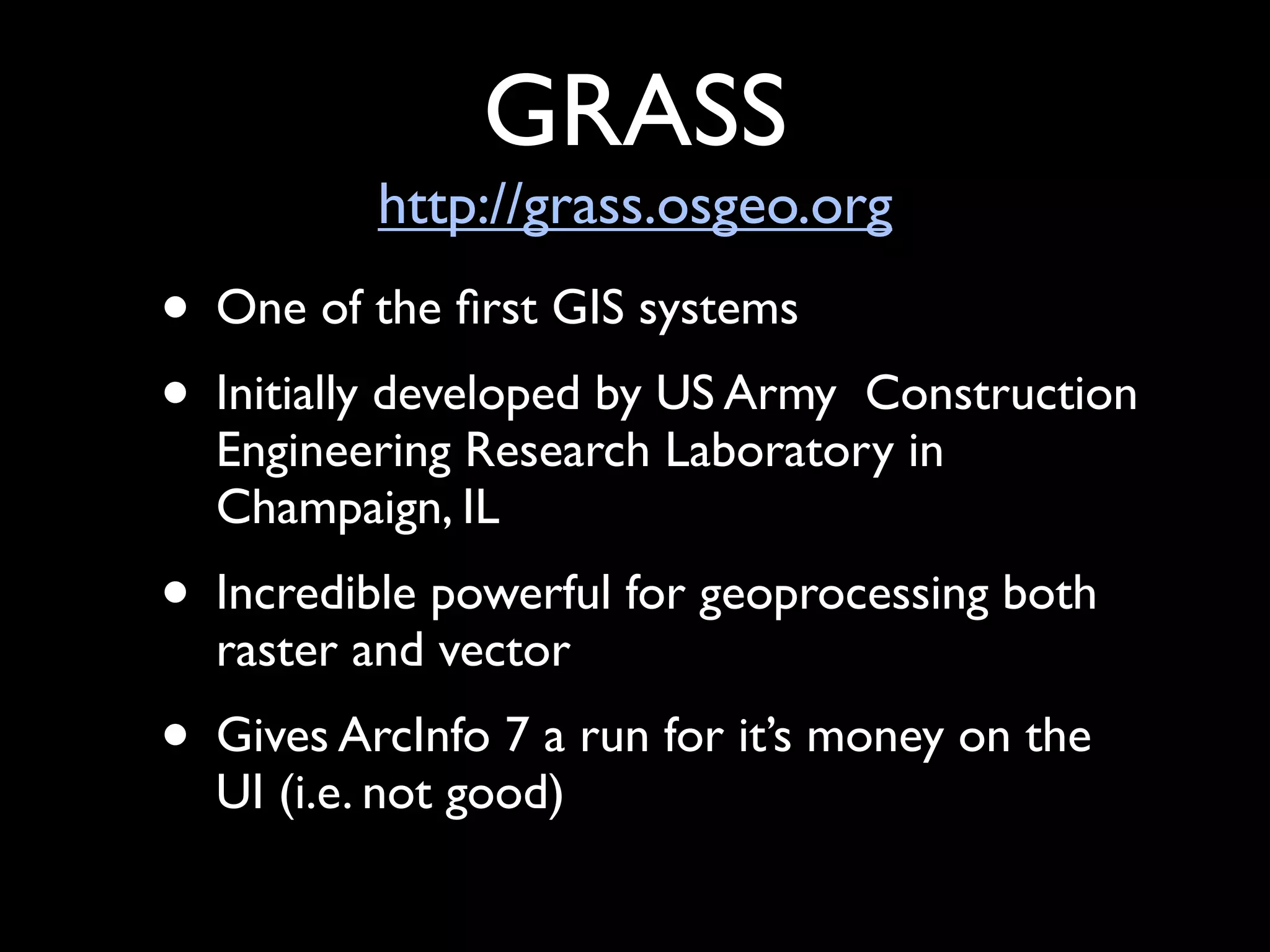
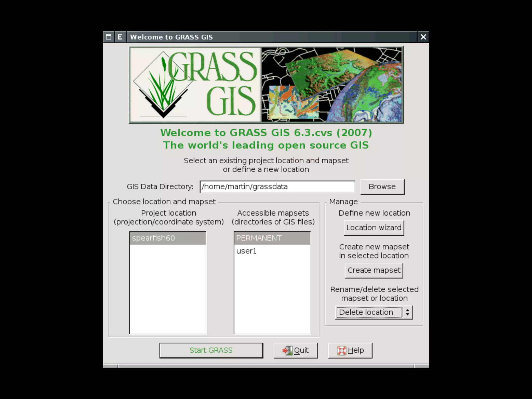
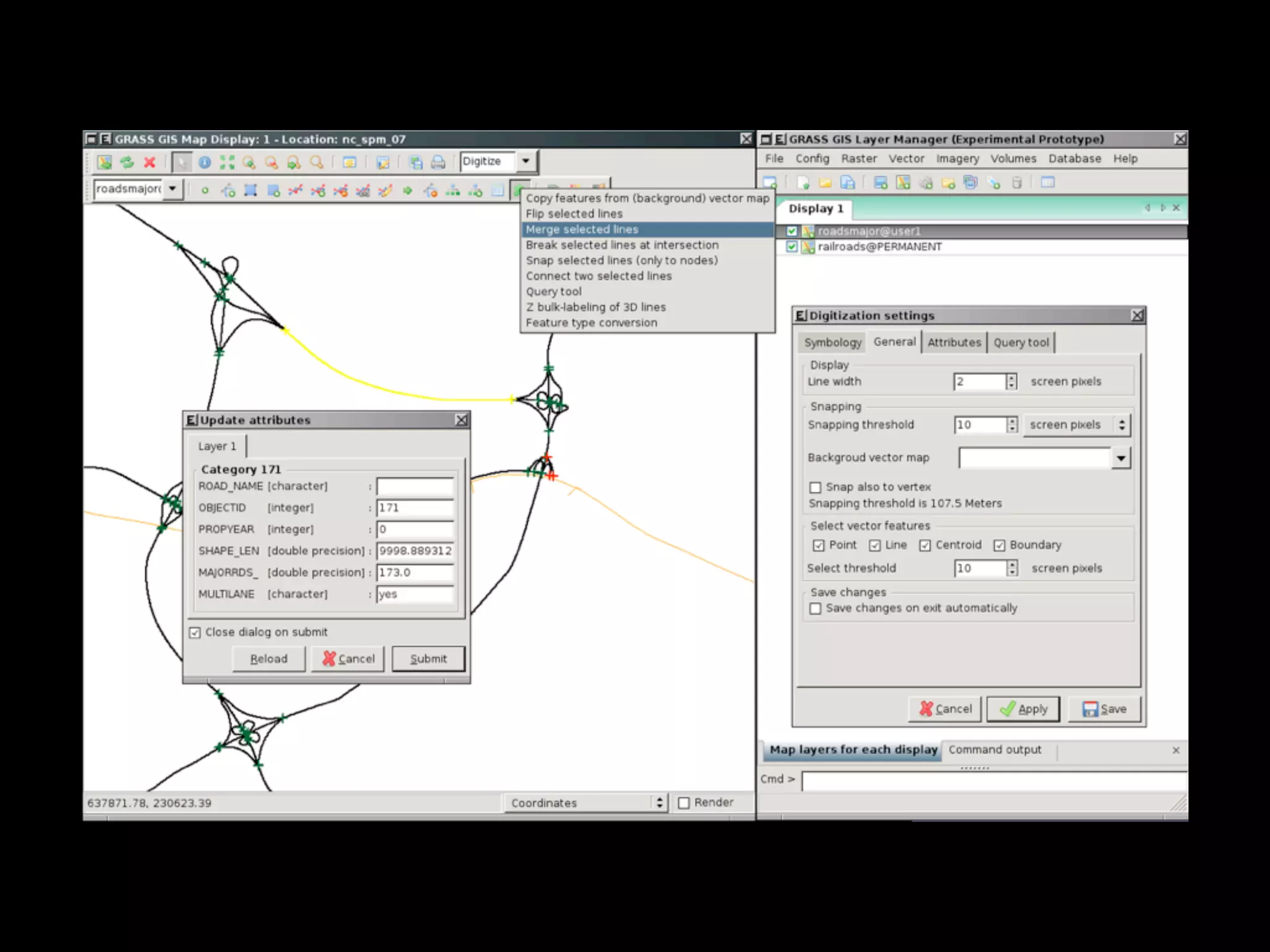
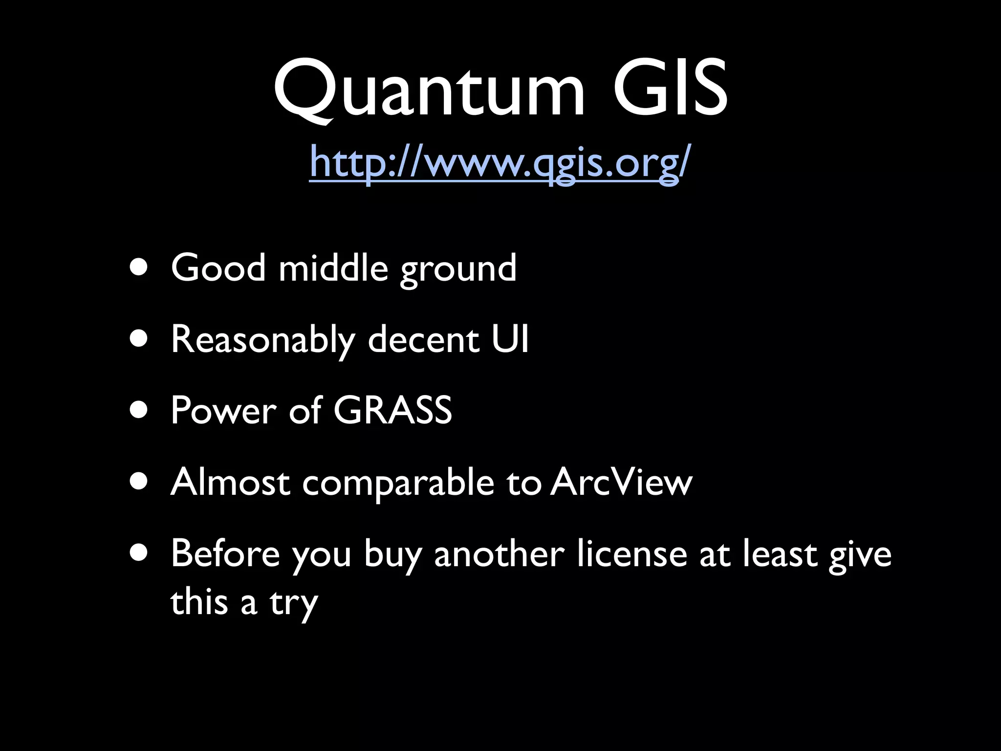
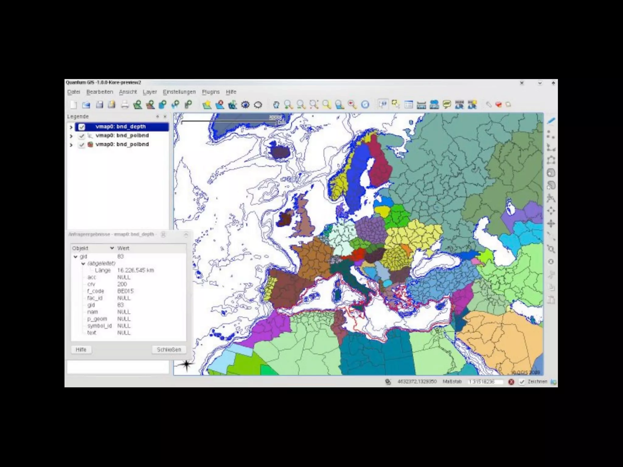
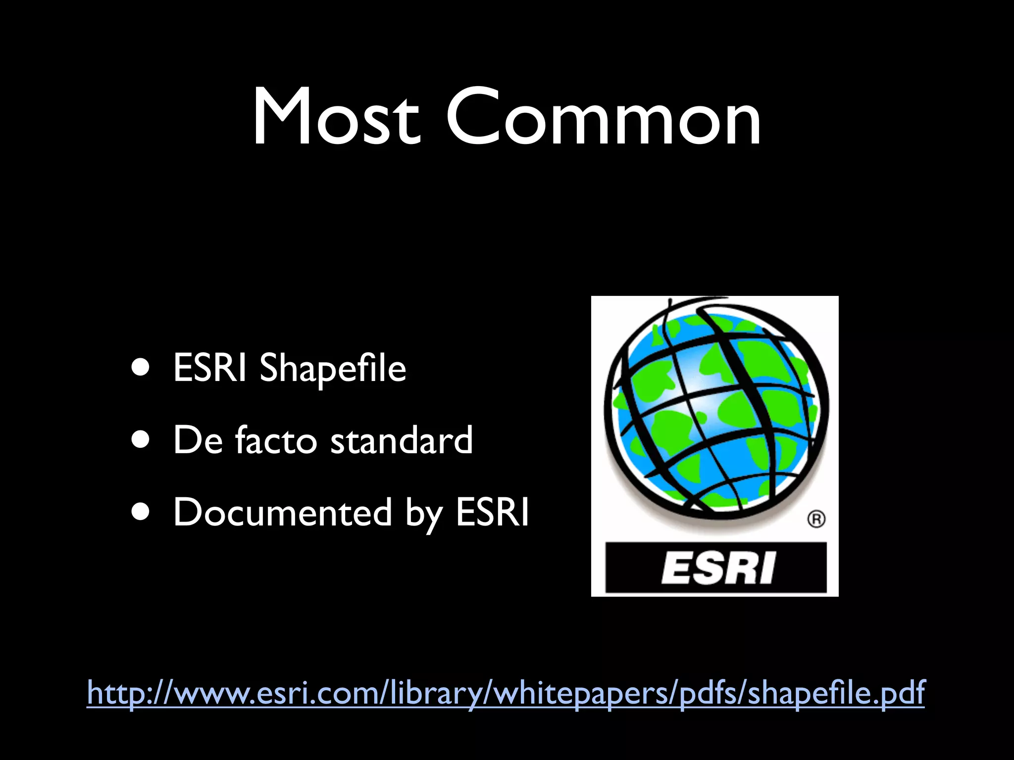
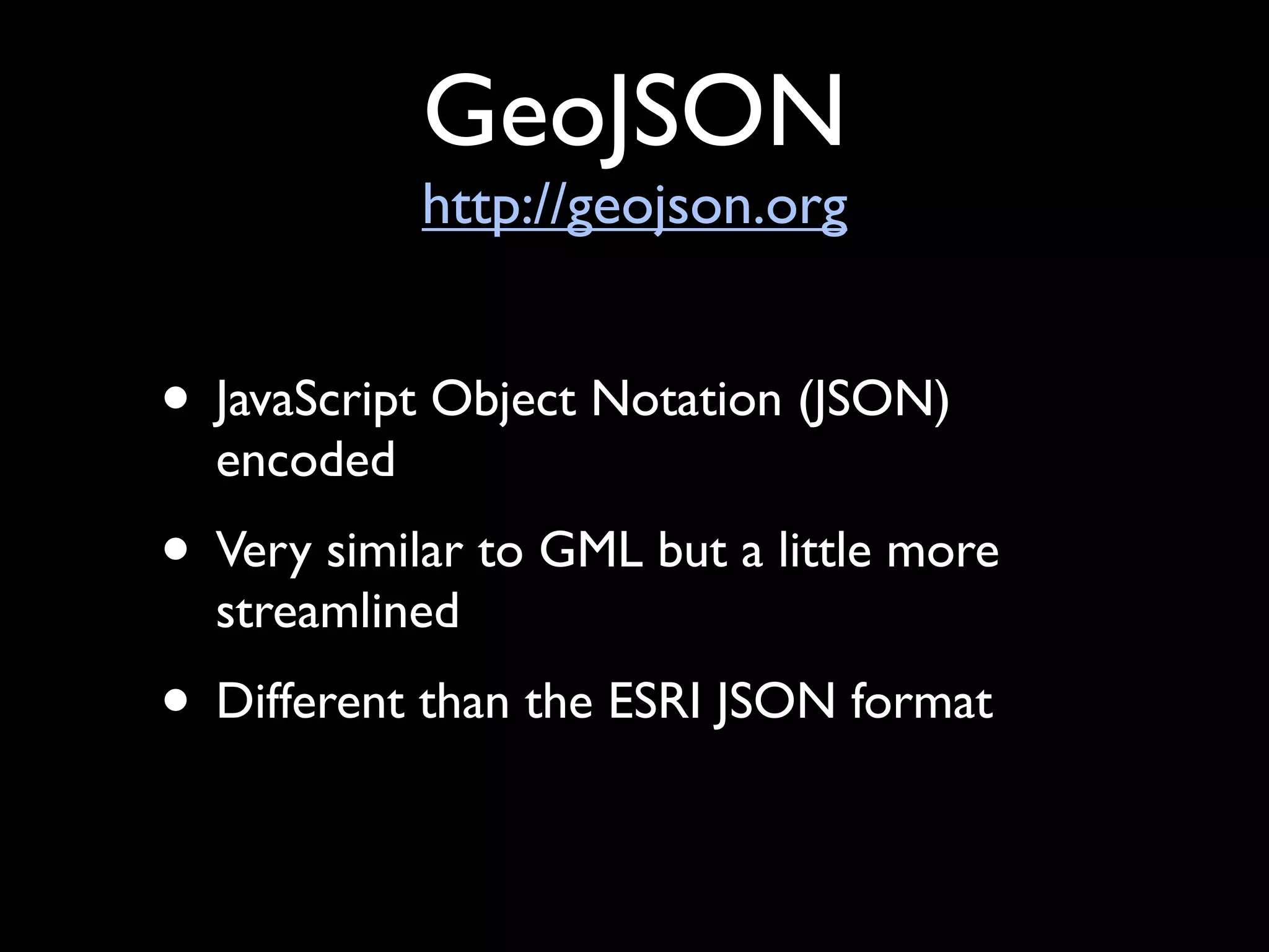
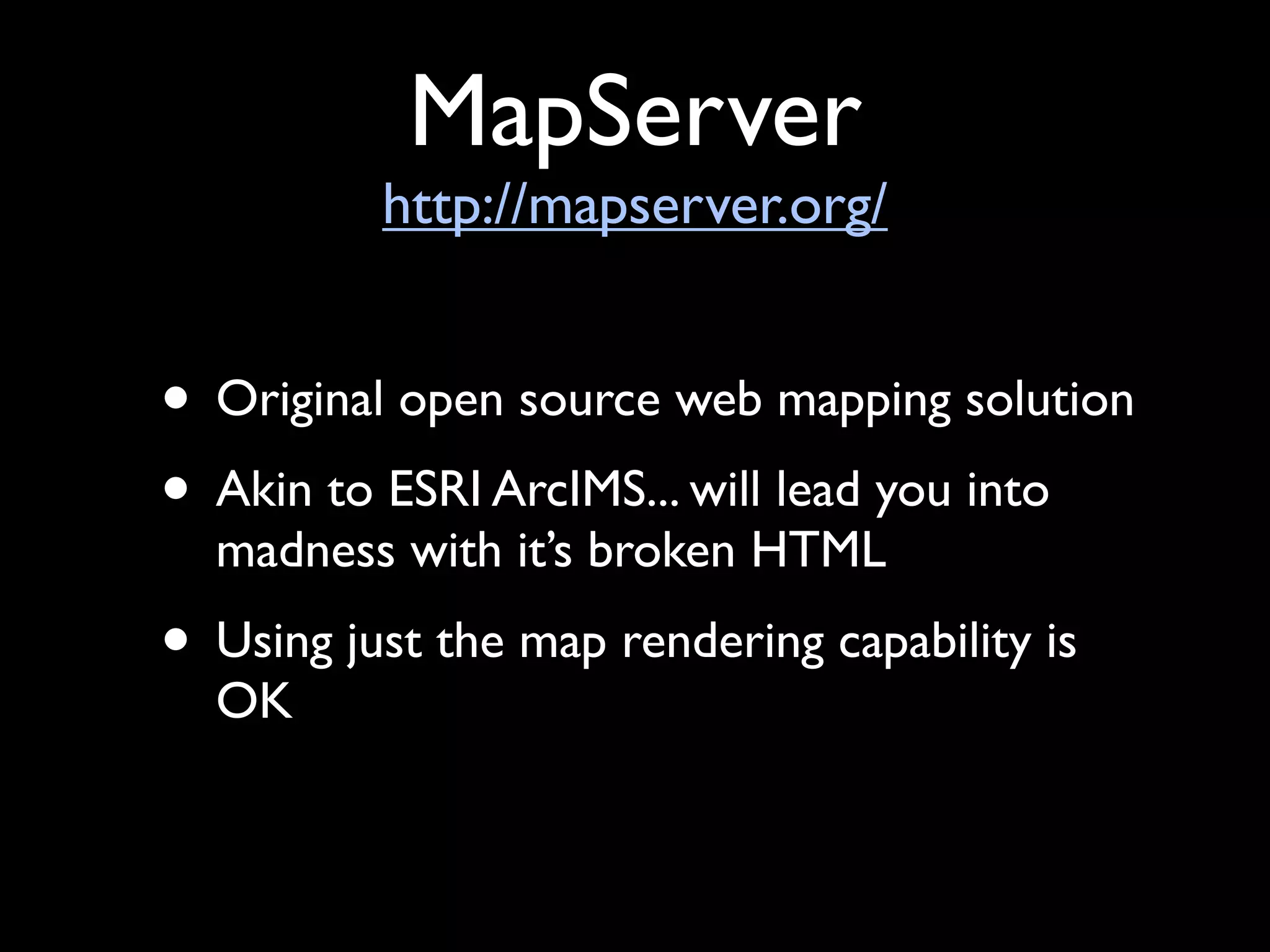
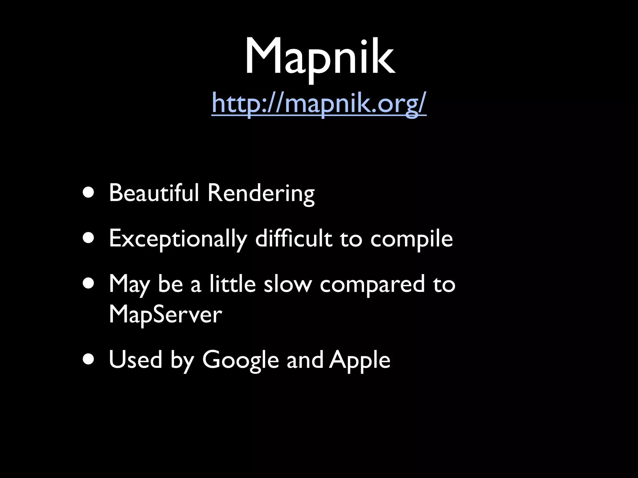
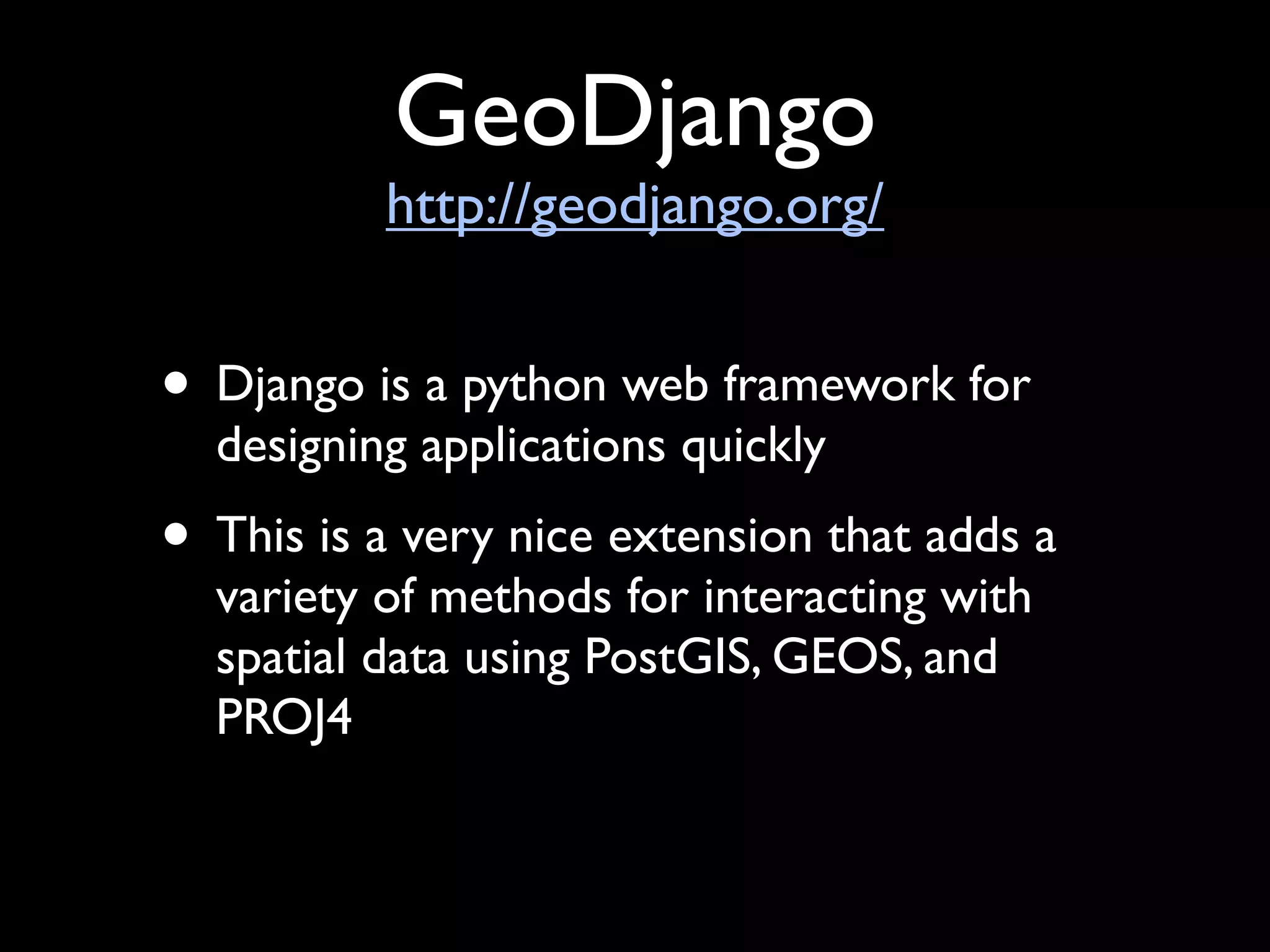
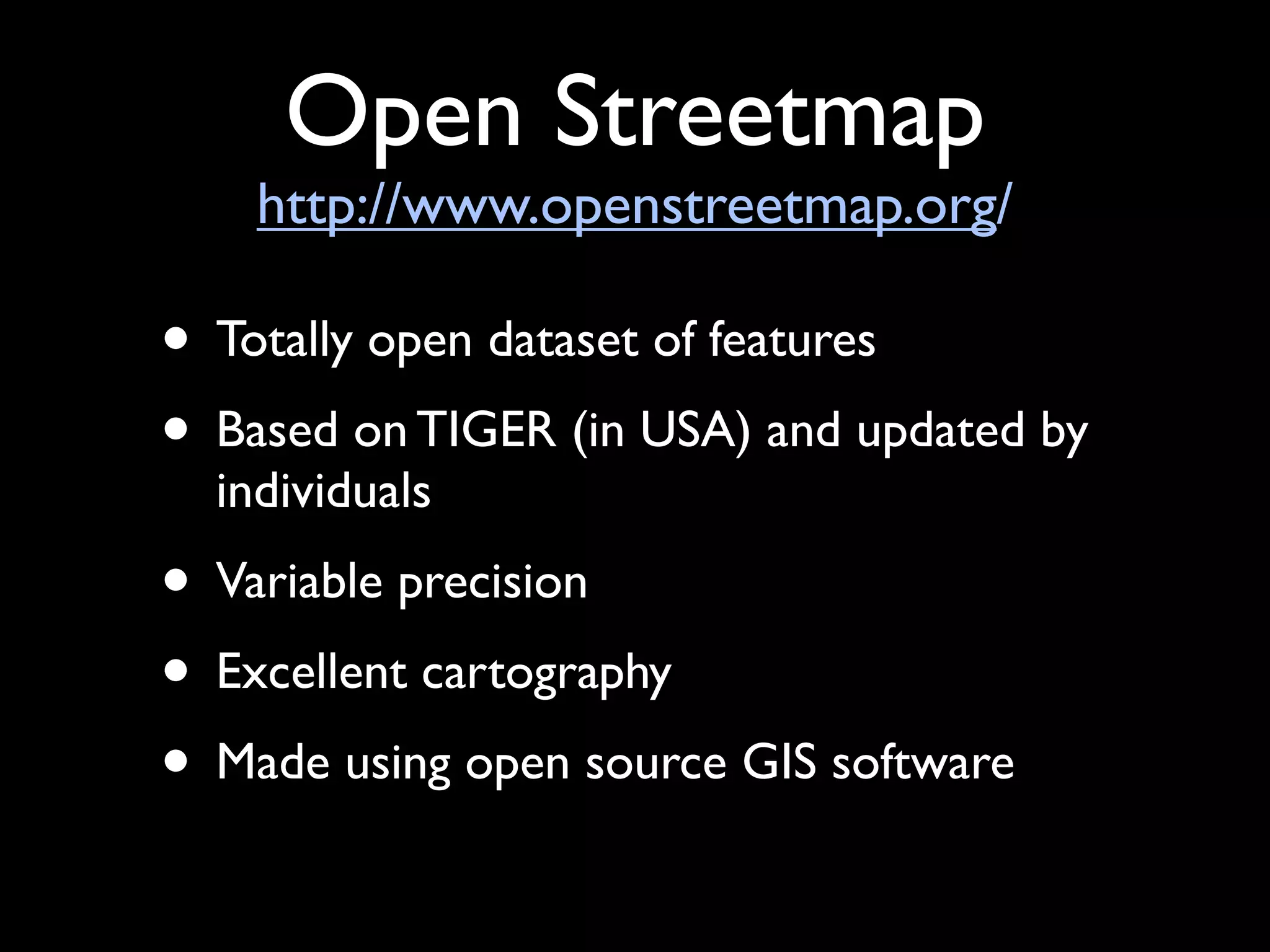
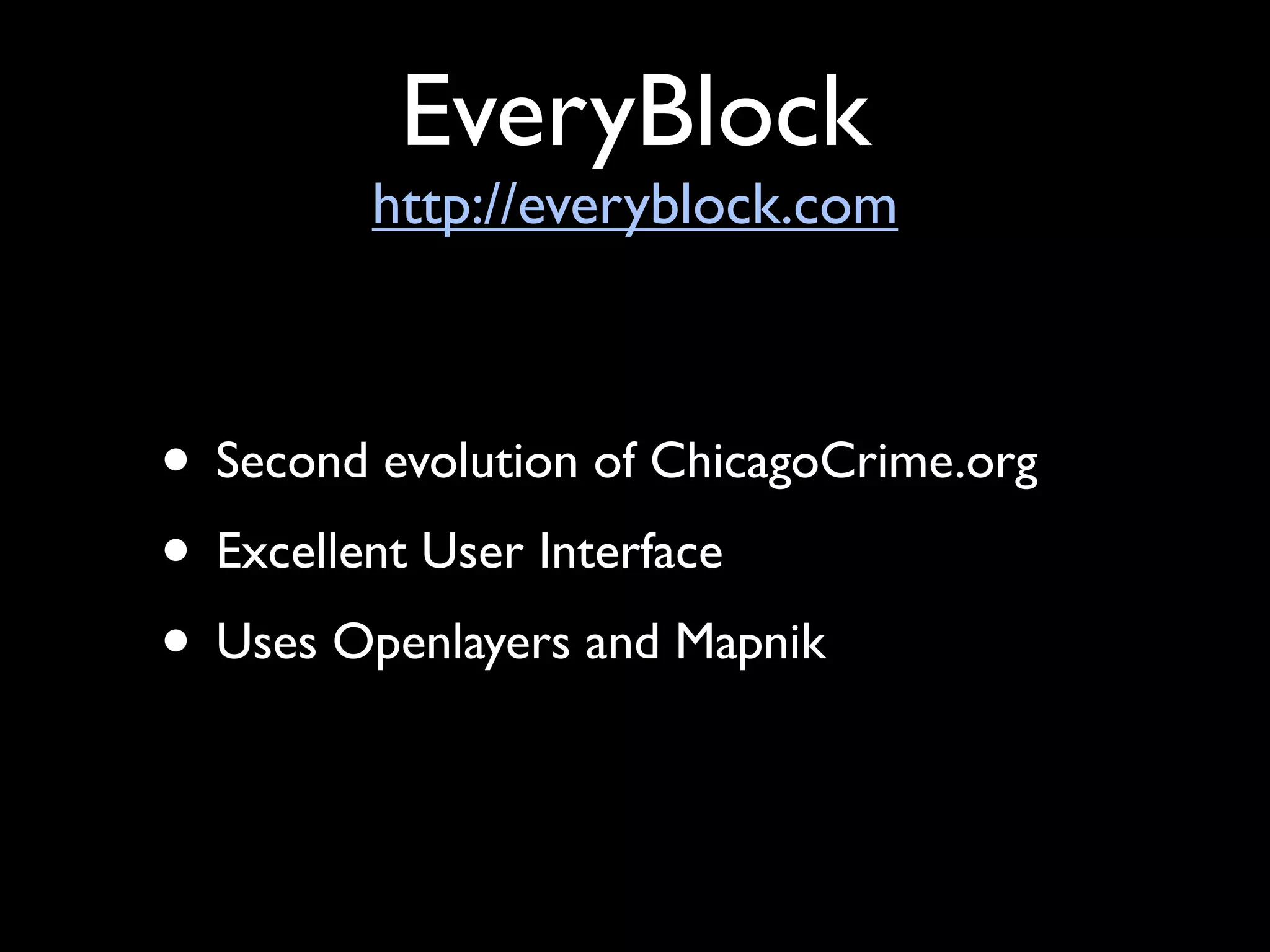
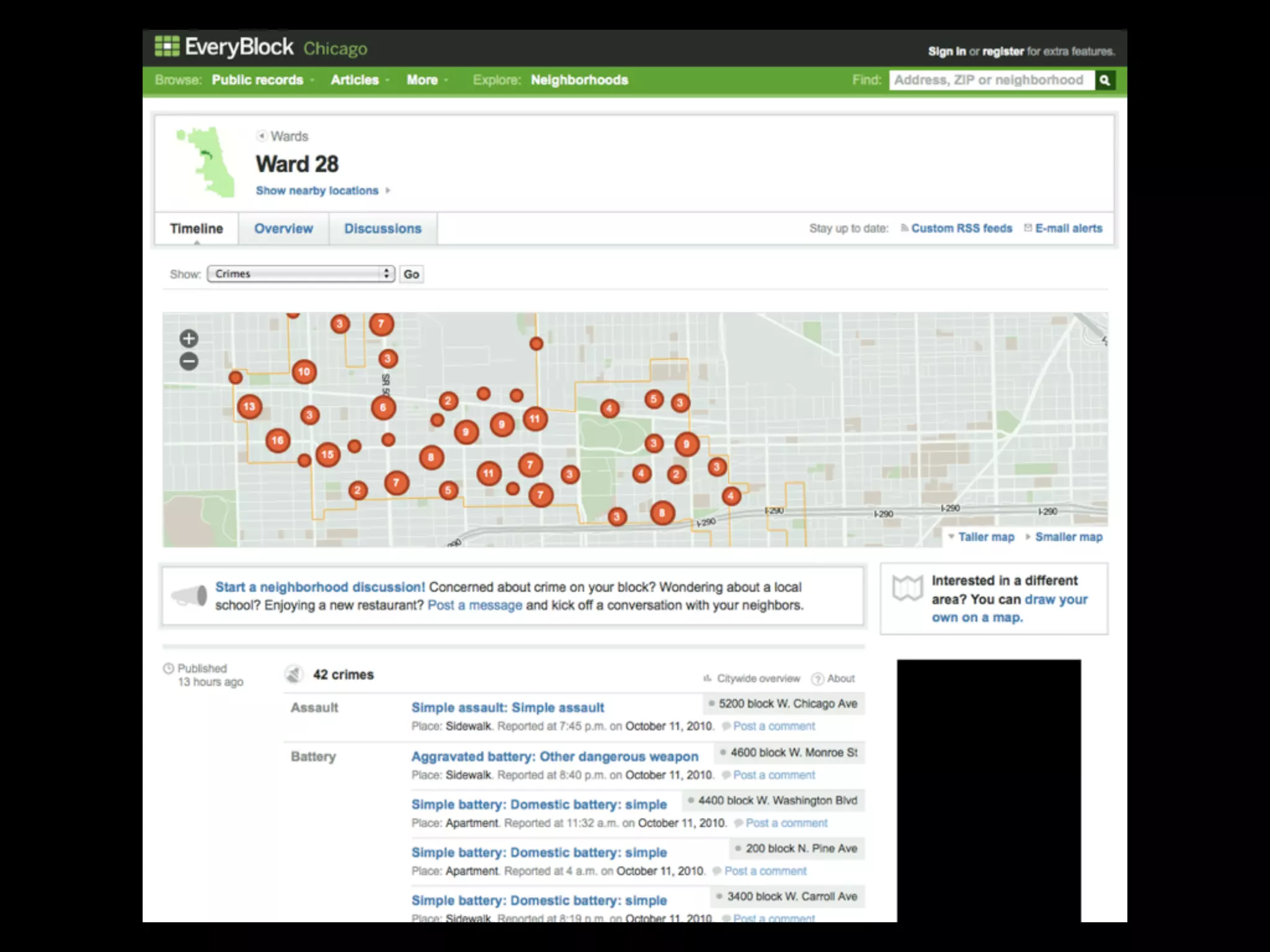
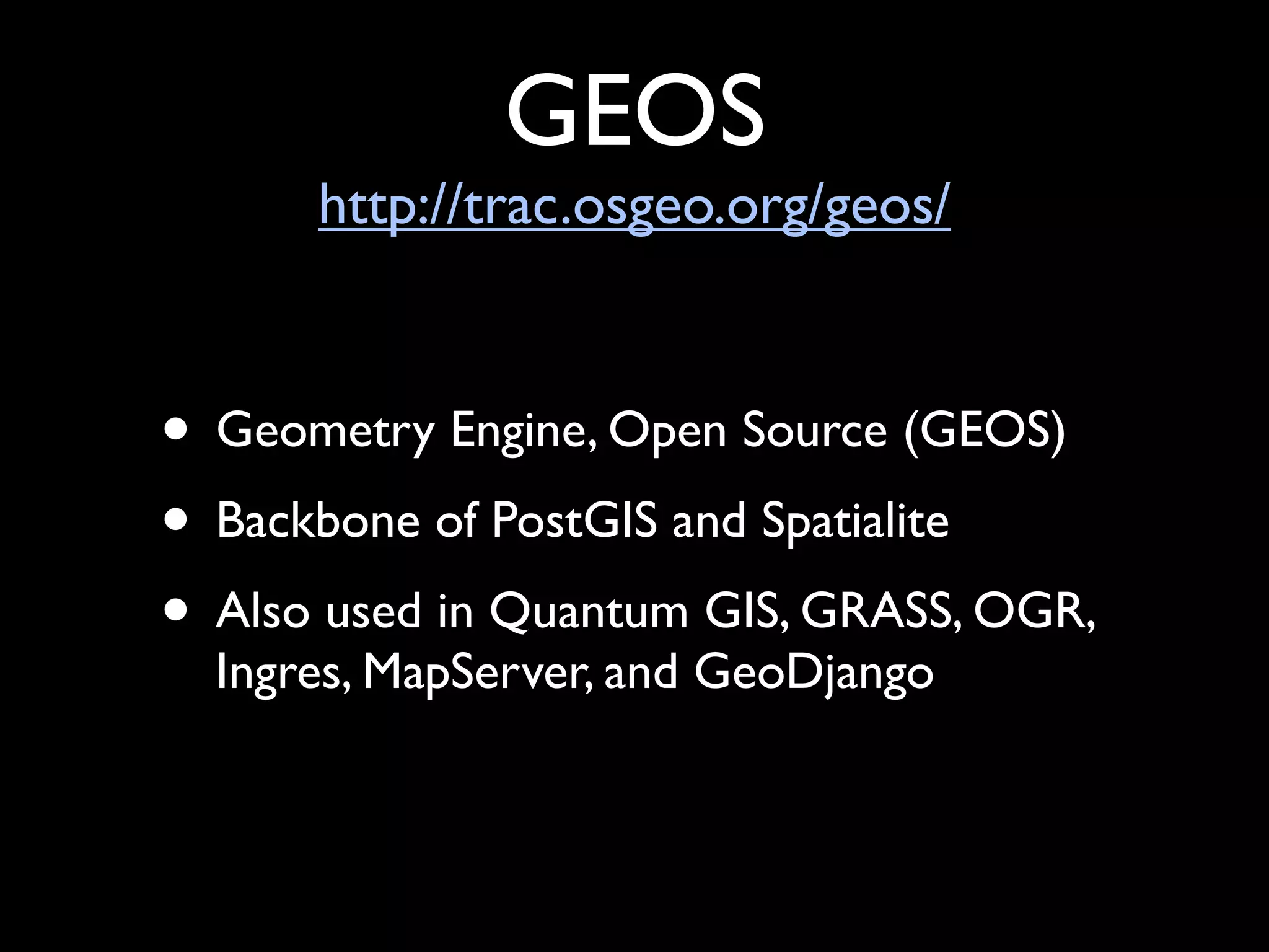
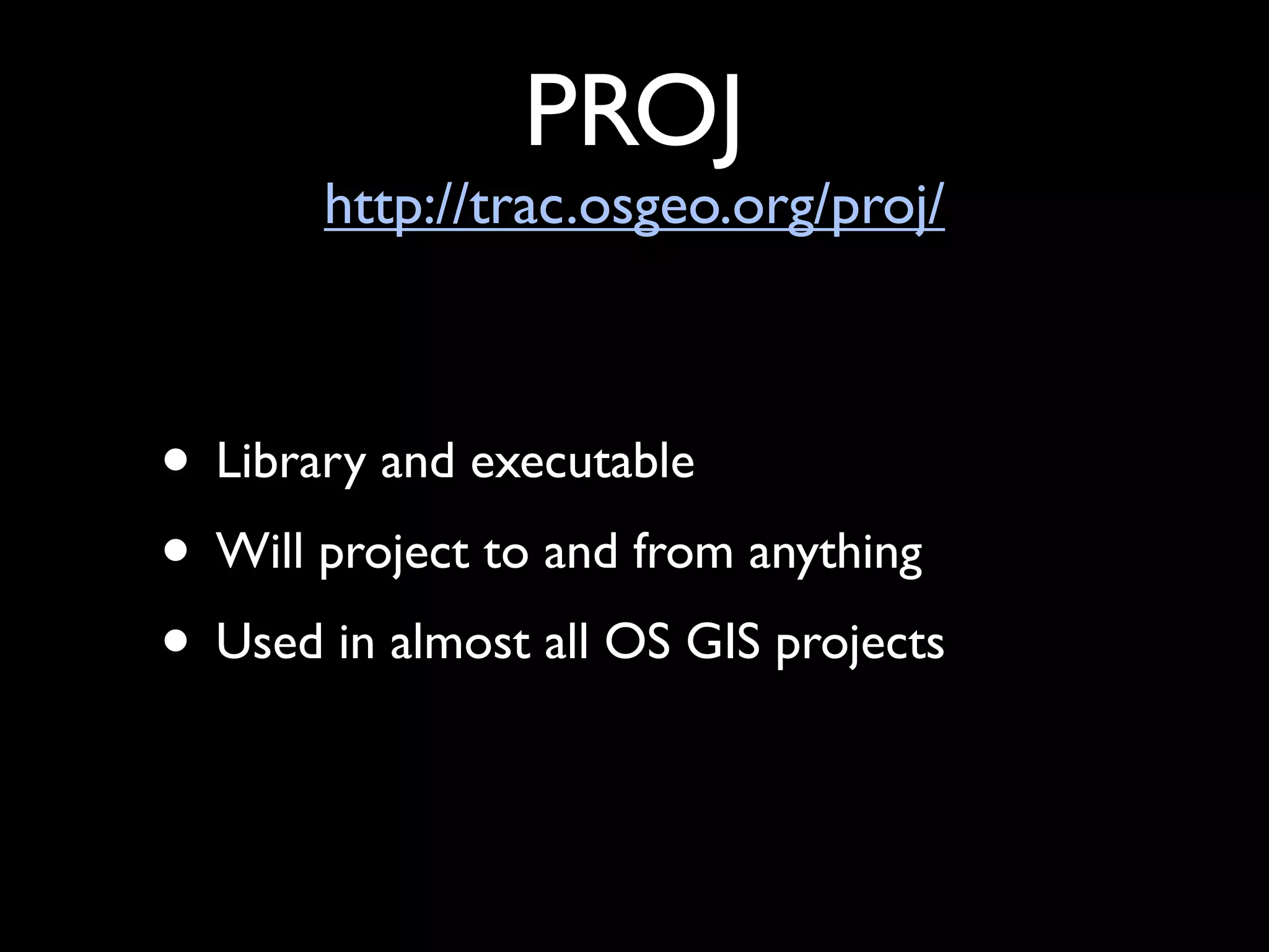
The document provides an overview of open source GIS software and formats. It discusses what open source software is, common open source licenses, where to find open source GIS software, how to evaluate software quality, and examples of popular open source desktop and web-based GIS programs, databases, data formats, and programming languages. Key open source GIS software mentioned includes QGIS, GRASS, PostGIS, MapServer, and OpenLayers. Common data formats discussed are shapefiles, GeoJSON, KML and GPS eXchange format.


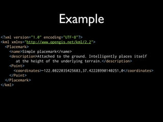
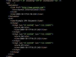
![Example
{ "type": "Point", "coordinates": [100.0, 0.0] }
{ "type": "Polygon",
"coordinates": [
[
[100.0, 0.0], [101.0, 0.0], [101.0, 1.0],
[100.0, 1.0], [100.0, 0.0]
]
]
}](https://image.slidesharecdn.com/savingmoneywithopensource-101021230221-phpapp02/85/Saving-Money-with-Open-Source-GIS-52-320.jpg)
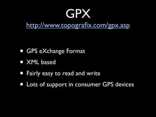
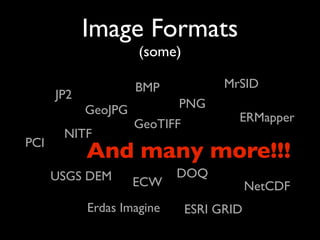


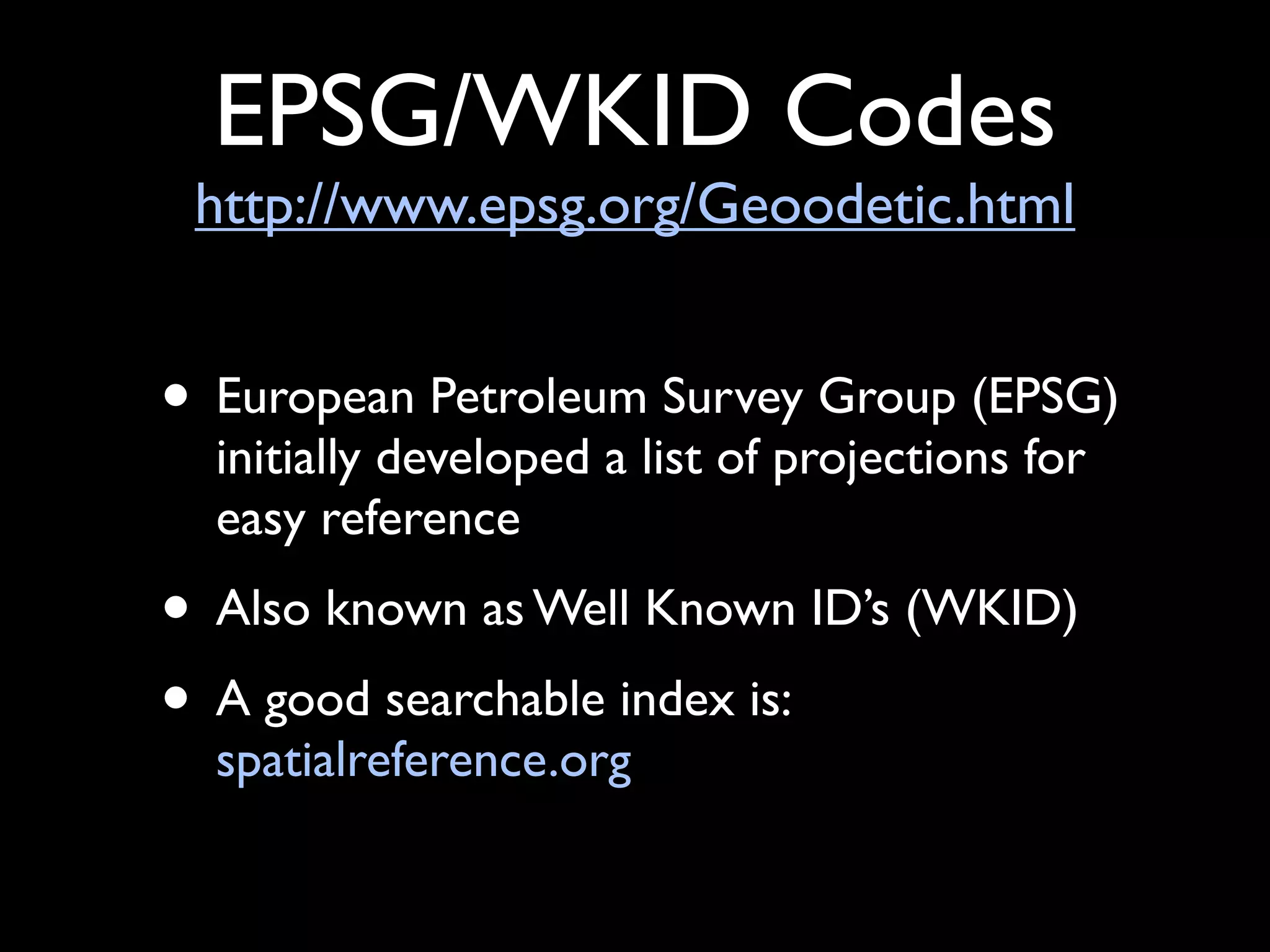
![EPSG:3435
vs
PROJCS["NAD83 / Illinois East (ftUS)",
GEOGCS["NAD83",
DATUM["North_American_Datum_1983",
SPHEROID["GRS 1980",6378137,298.257222101,
AUTHORITY["EPSG","7019"]],
AUTHORITY["EPSG","6269"]],
PRIMEM["Greenwich",0,
AUTHORITY["EPSG","8901"]],
UNIT["degree",0.01745329251994328,
AUTHORITY["EPSG","9122"]],
AUTHORITY["EPSG","4269"]],
UNIT["US survey foot",0.3048006096012192,
AUTHORITY["EPSG","9003"]],
PROJECTION["Transverse_Mercator"],
PARAMETER["latitude_of_origin",36.66666666666666],
PARAMETER["central_meridian",-88.33333333333333],
PARAMETER["scale_factor",0.999975],
PARAMETER["false_easting",984250.0000000002],
PARAMETER["false_northing",0],
AUTHORITY["EPSG","3435"],
AXIS["X",EAST],
AXIS["Y",NORTH]]](https://image.slidesharecdn.com/savingmoneywithopensource-101021230221-phpapp02/85/Saving-Money-with-Open-Source-GIS-79-320.jpg)


![Example
{ "type": "Point", "coordinates": [100.0, 0.0] }
{ "type": "Polygon",
"coordinates": [
[
[100.0, 0.0], [101.0, 0.0], [101.0, 1.0],
[100.0, 1.0], [100.0, 0.0]
]
]
}](https://image.slidesharecdn.com/savingmoneywithopensource-101021230221-phpapp02/75/Saving-Money-with-Open-Source-GIS-52-2048.jpg)


![EPSG:3435
vs
PROJCS["NAD83 / Illinois East (ftUS)",
GEOGCS["NAD83",
DATUM["North_American_Datum_1983",
SPHEROID["GRS 1980",6378137,298.257222101,
AUTHORITY["EPSG","7019"]],
AUTHORITY["EPSG","6269"]],
PRIMEM["Greenwich",0,
AUTHORITY["EPSG","8901"]],
UNIT["degree",0.01745329251994328,
AUTHORITY["EPSG","9122"]],
AUTHORITY["EPSG","4269"]],
UNIT["US survey foot",0.3048006096012192,
AUTHORITY["EPSG","9003"]],
PROJECTION["Transverse_Mercator"],
PARAMETER["latitude_of_origin",36.66666666666666],
PARAMETER["central_meridian",-88.33333333333333],
PARAMETER["scale_factor",0.999975],
PARAMETER["false_easting",984250.0000000002],
PARAMETER["false_northing",0],
AUTHORITY["EPSG","3435"],
AXIS["X",EAST],
AXIS["Y",NORTH]]](https://image.slidesharecdn.com/savingmoneywithopensource-101021230221-phpapp02/75/Saving-Money-with-Open-Source-GIS-79-2048.jpg)


