Download as PDF, PPTX

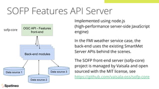
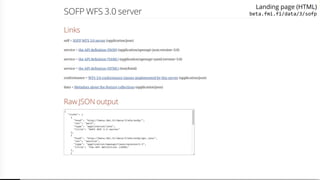
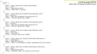
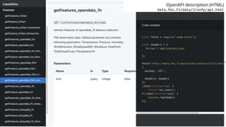
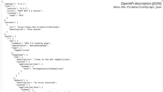
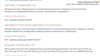
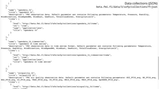

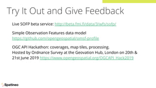


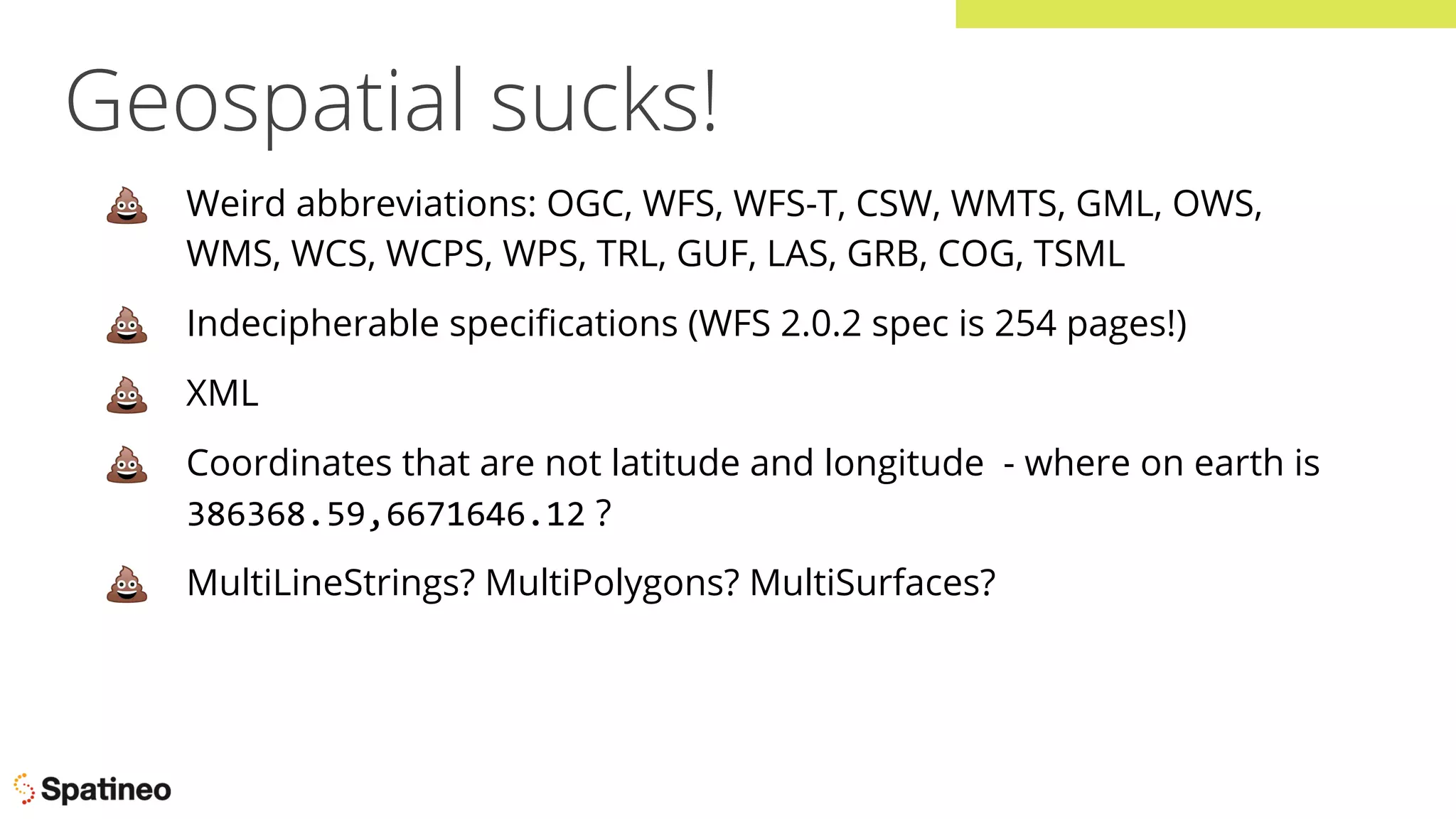
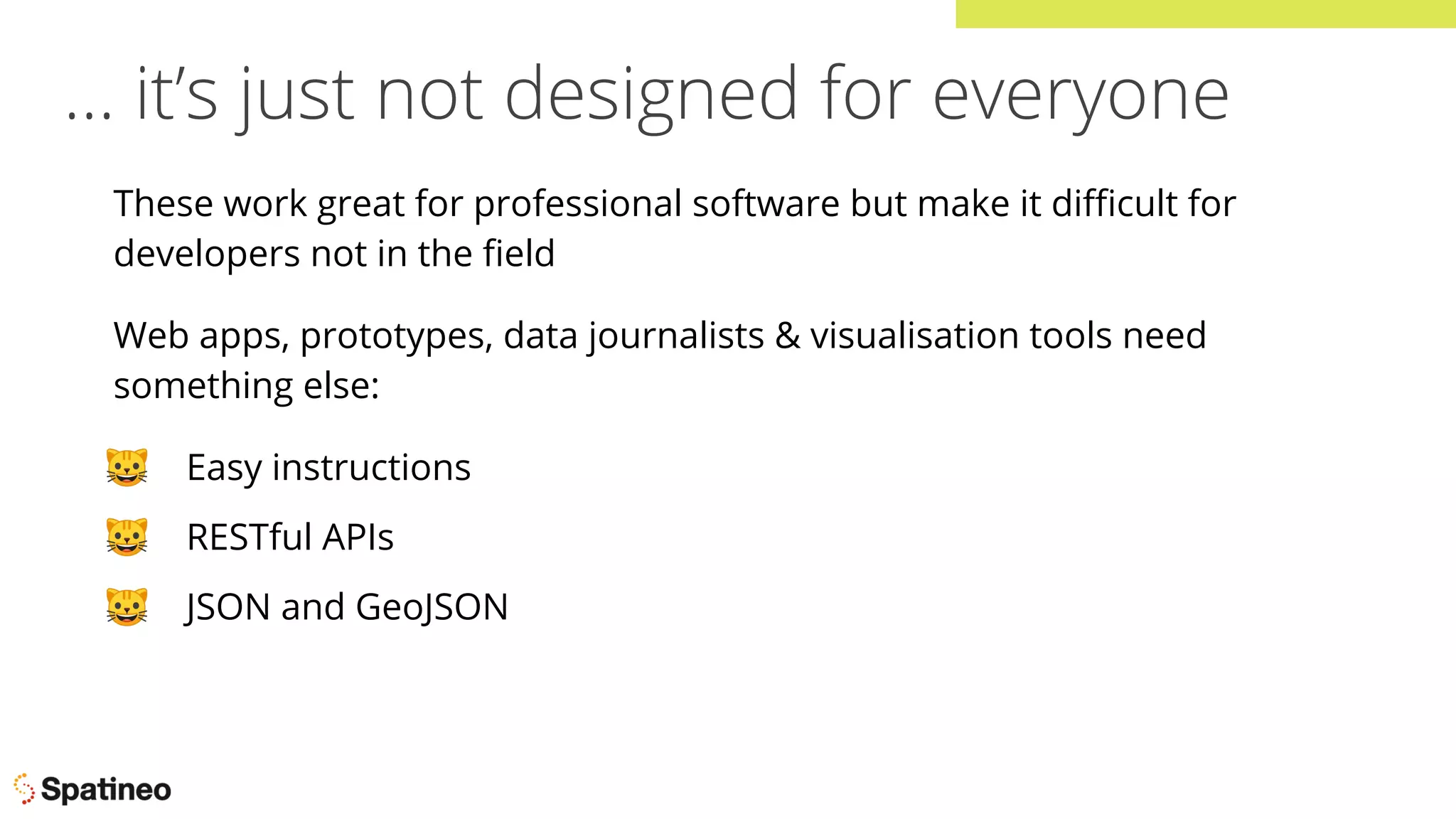
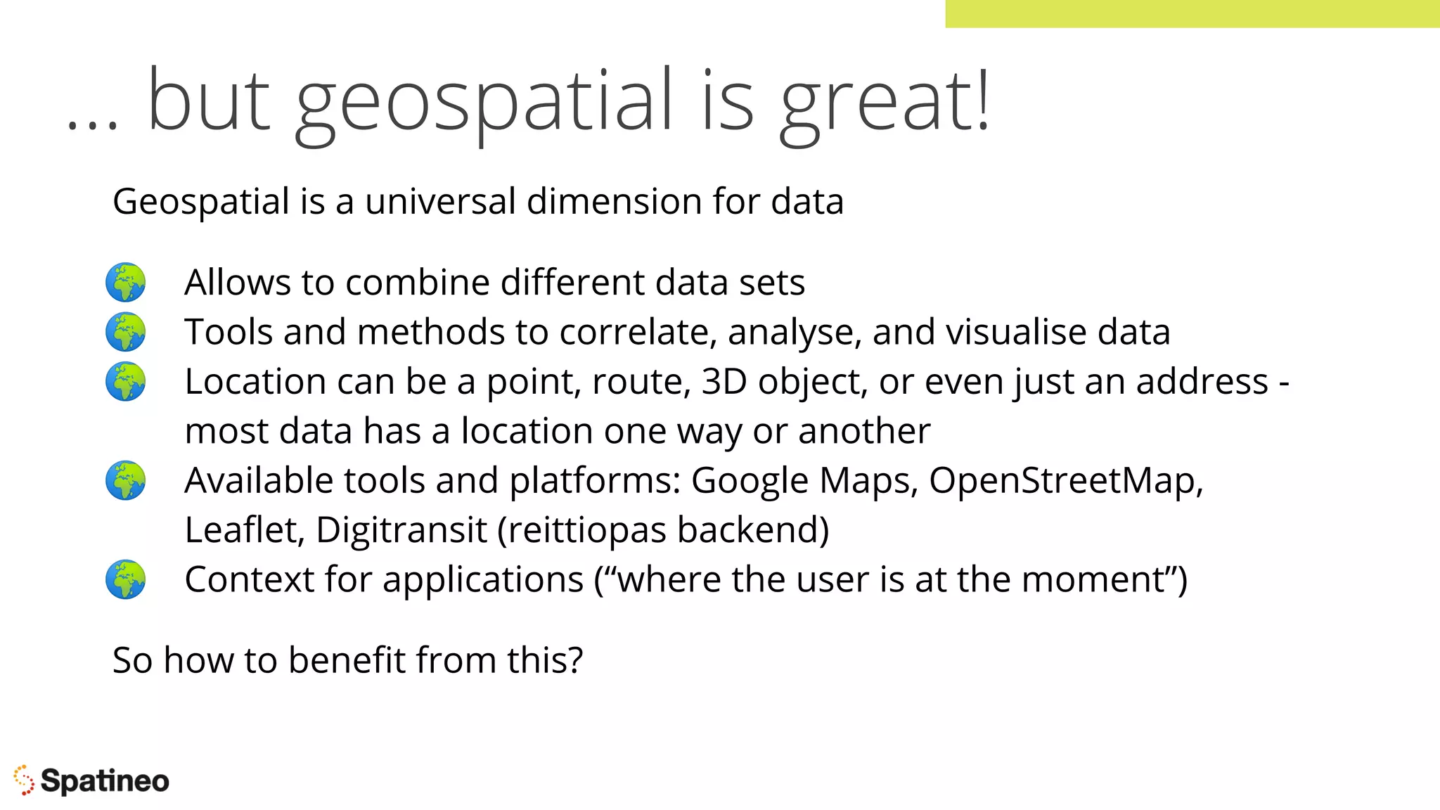
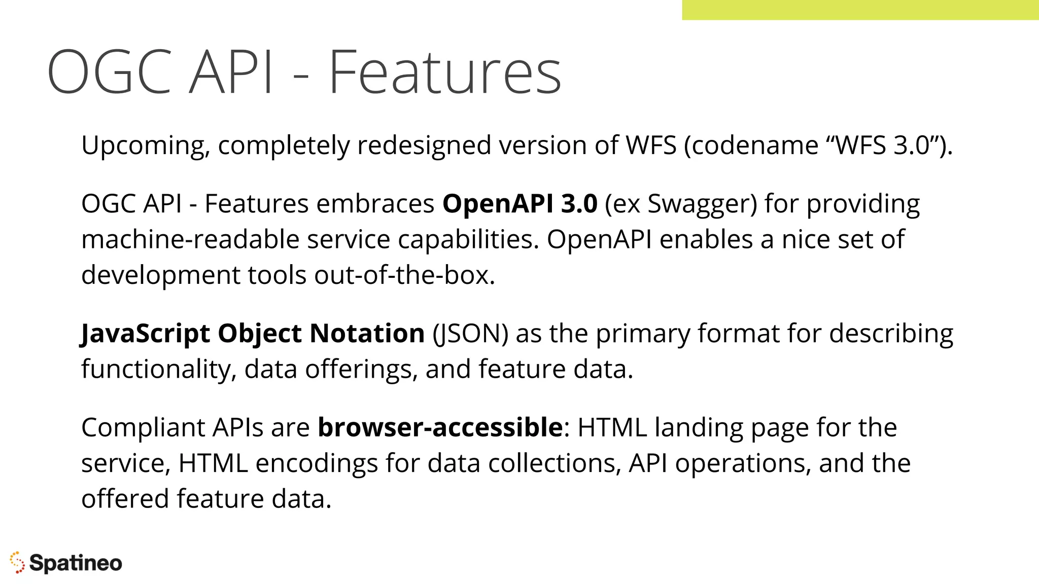
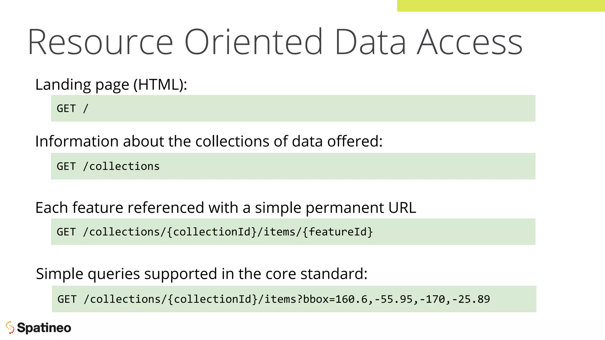
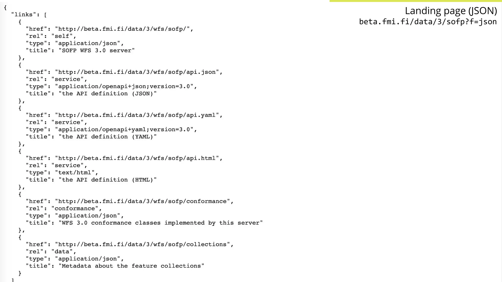
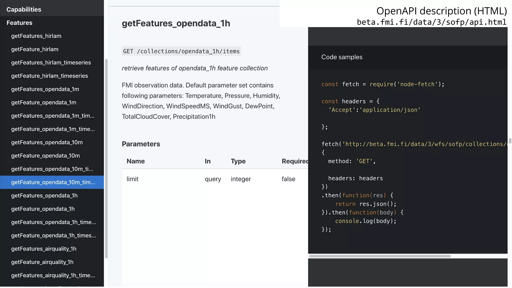
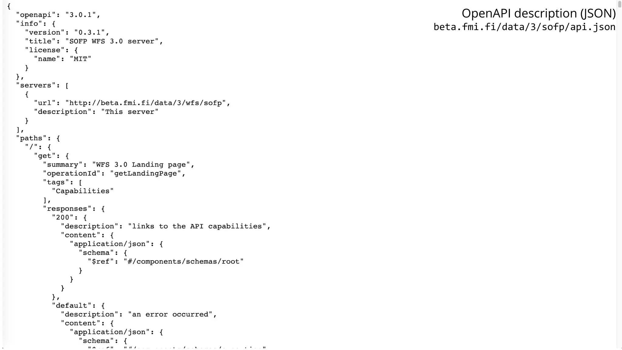
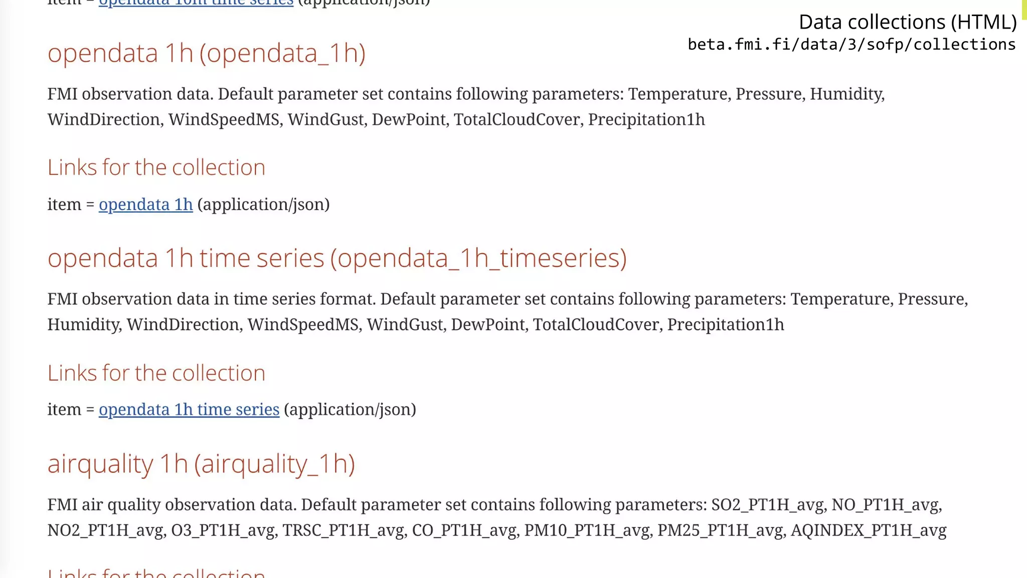
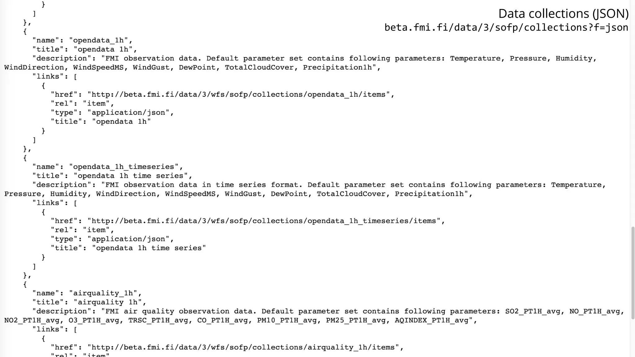
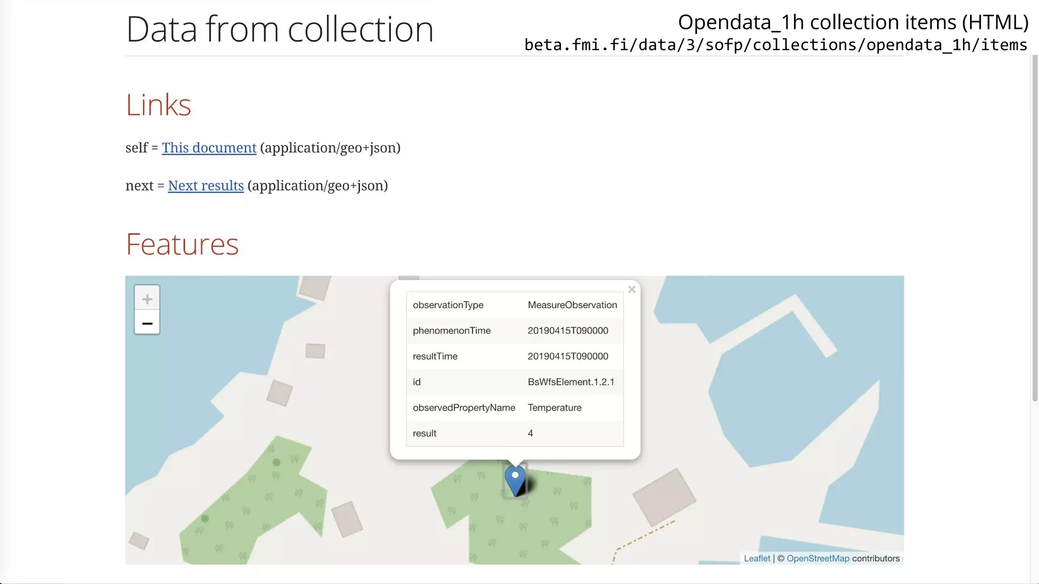
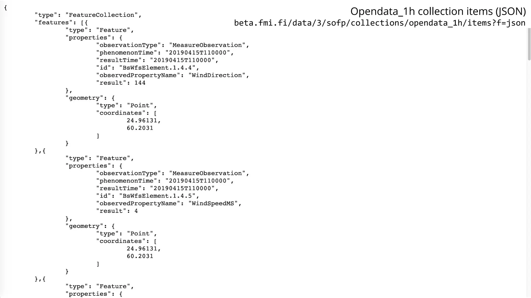
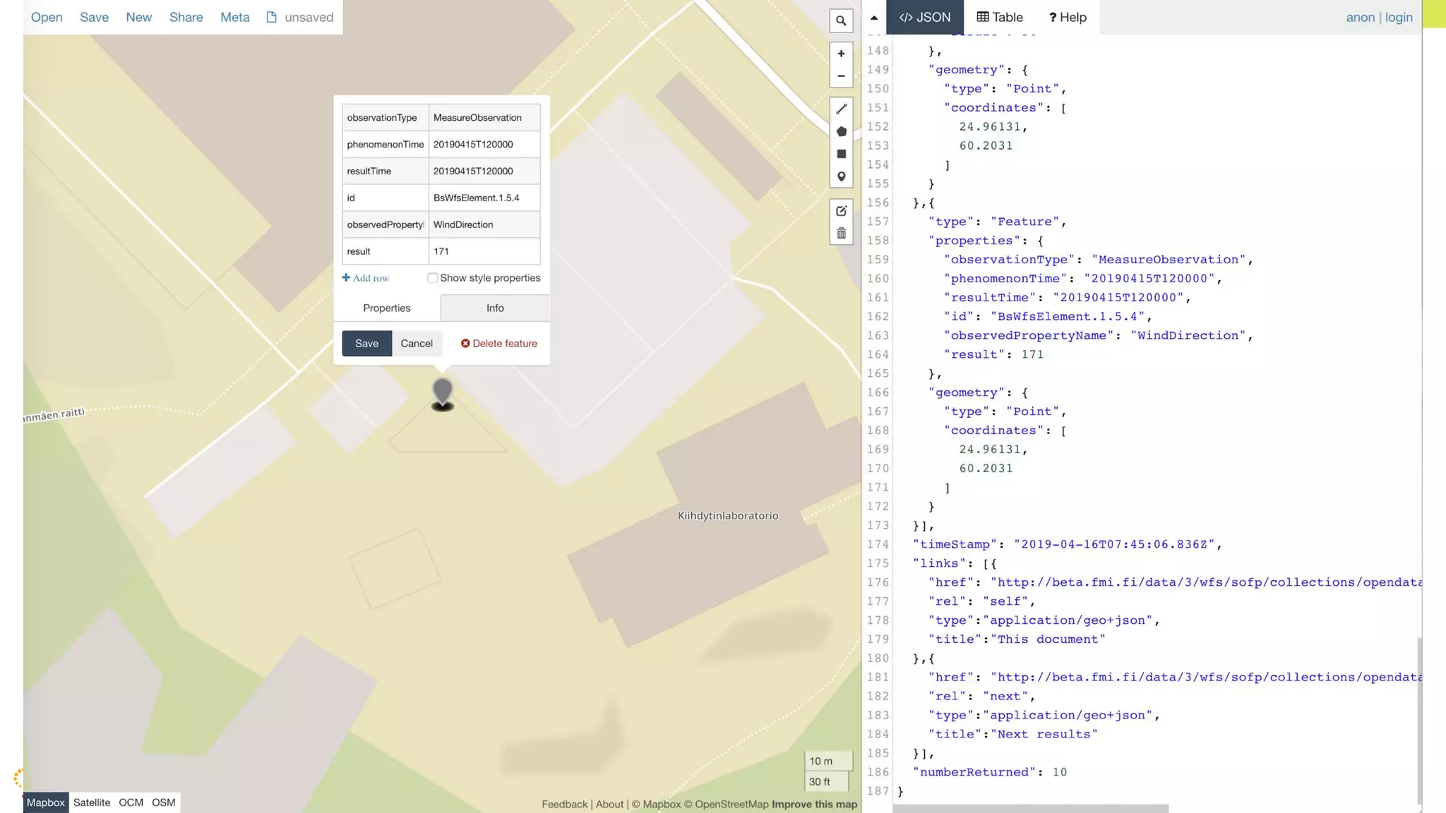


The document discusses the challenges and advancements in spatial data APIs, particularly highlighting the OGC API - Features, which aims to simplify access to spatial data through RESTful interfaces and JSON format. It emphasizes the need for easier integration and understanding for developers outside the geospatial field and introduces the upcoming WFS 3.0. Additionally, it outlines various projects and hackathons aimed at improving spatial data handling and offers insights into data collection and interoperability in visualization tools.


