GIS Application &
Softwareused in Water
Resources Engineering
1
Prepared By:
Mr. K.R.THANKI
(BE Civil)
LECTURER CIVIL ENGINEERING DEPARTMENT
GOVERNMENT POLY TECHNIC ,
PORBANDAR,GUJARAT-INDIA.
2.
2
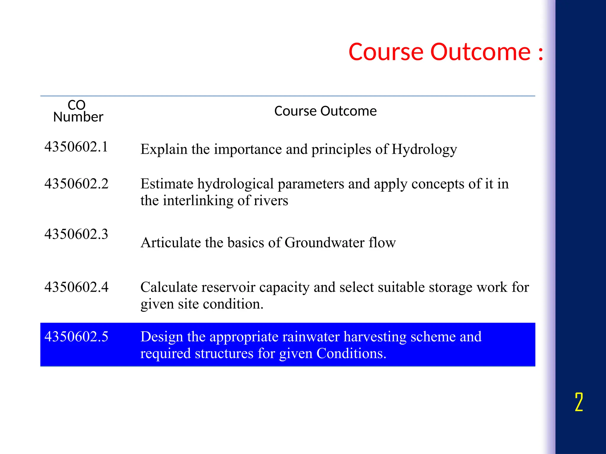
Course Outcome :
CO
NumberCourse Outcome
4350602.1 Explain the importance and principles of Hydrology
4350602.2 Estimate hydrological parameters and apply concepts of it in
the interlinking of rivers
4350602.3
Articulate the basics of Groundwater flow
4350602.4 Calculate reservoir capacity and select suitable storage work for
given site condition.
4350602.5 Design the appropriate rainwater harvesting scheme and
required structures for given Conditions.
3.
3
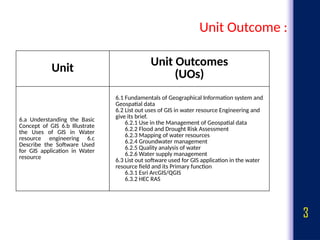
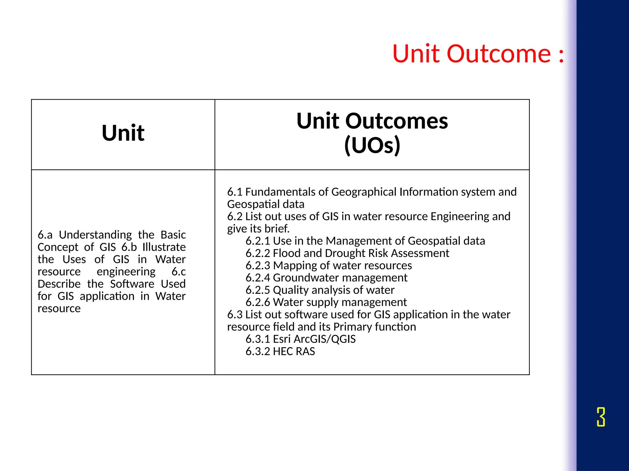
Unit Outcome :
UnitUnit Outcomes
(UOs)
6.a Understanding the Basic
Concept of GIS 6.b Illustrate
the Uses of GIS in Water
resource engineering 6.c
Describe the Software Used
for GIS application in Water
resource
6.1 Fundamentals of Geographical Information system and
Geospatial data
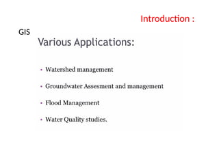
6.2 List out uses of GIS in water resource Engineering and
give its brief.
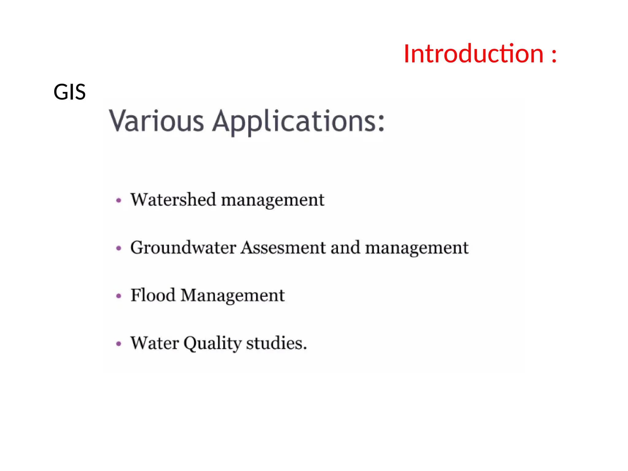
6.2.1 Use in the Management of Geospatial data
6.2.2 Flood and Drought Risk Assessment
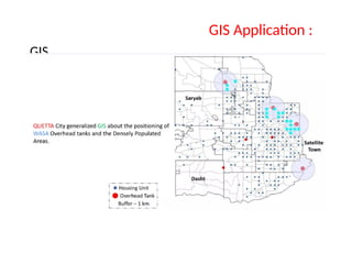
6.2.3 Mapping of water resources
6.2.4 Groundwater management
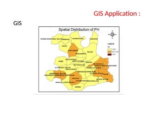
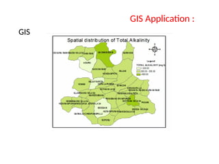
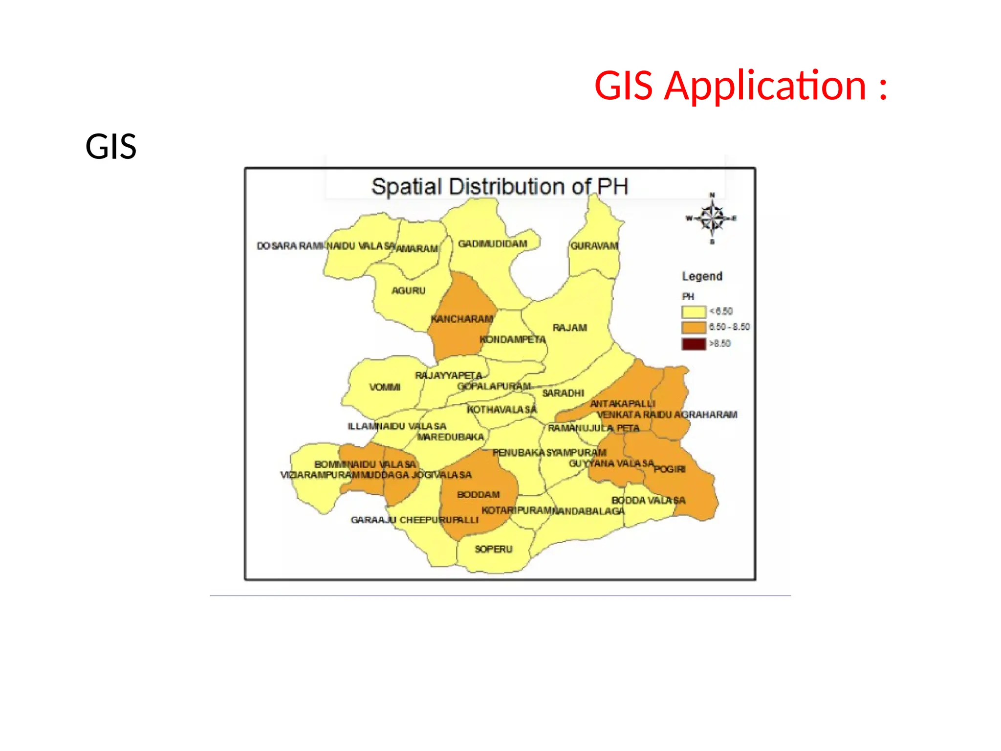
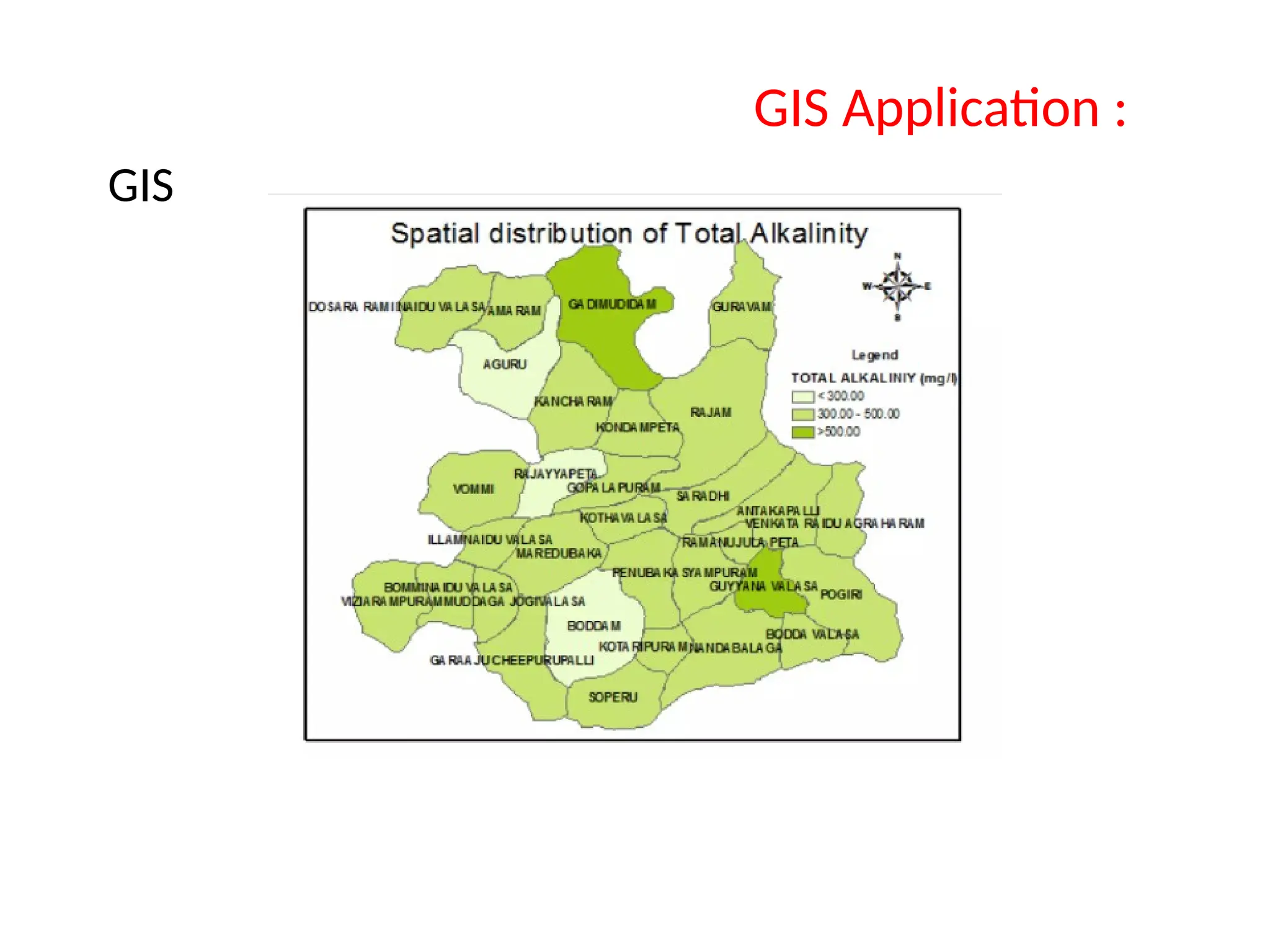
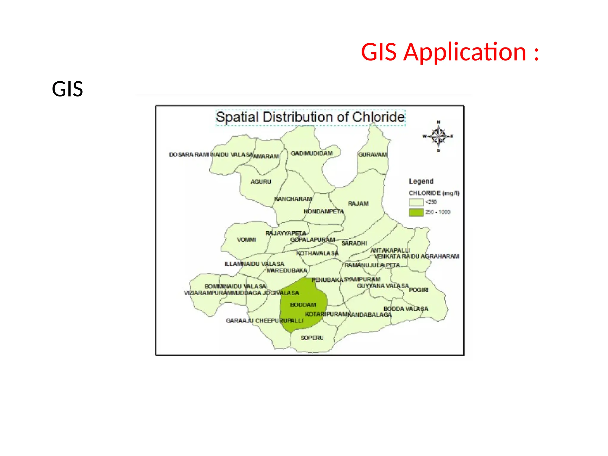
6.2.5 Quality analysis of water
6.2.6 Water supply management
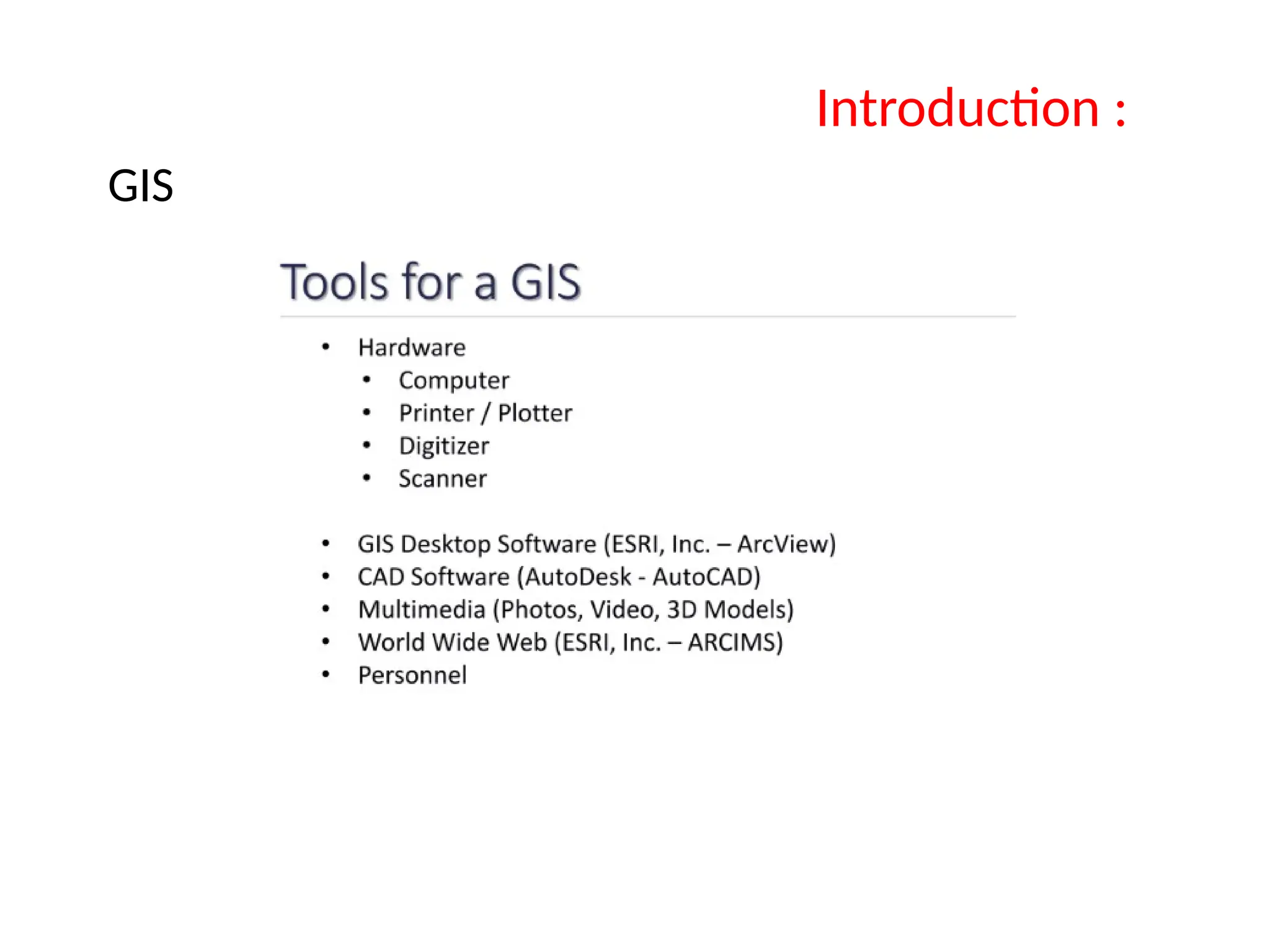
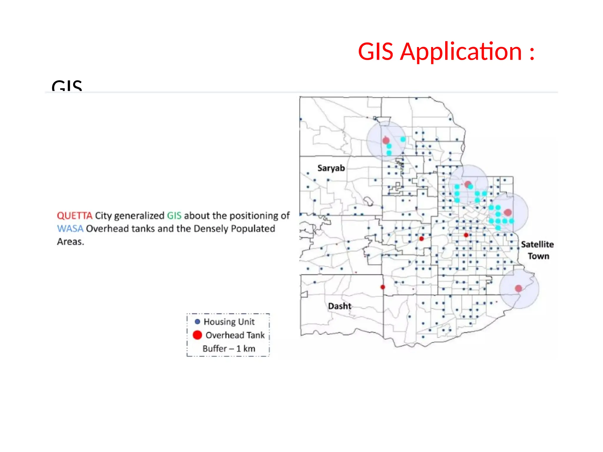
6.3 List out software used for GIS application in the water
resource field and its Primary function
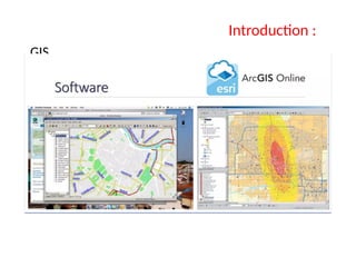
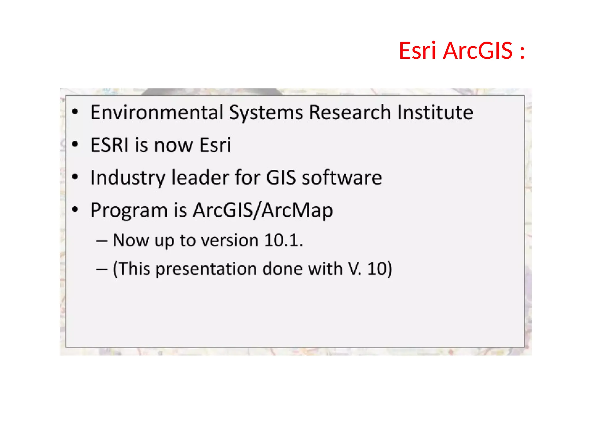
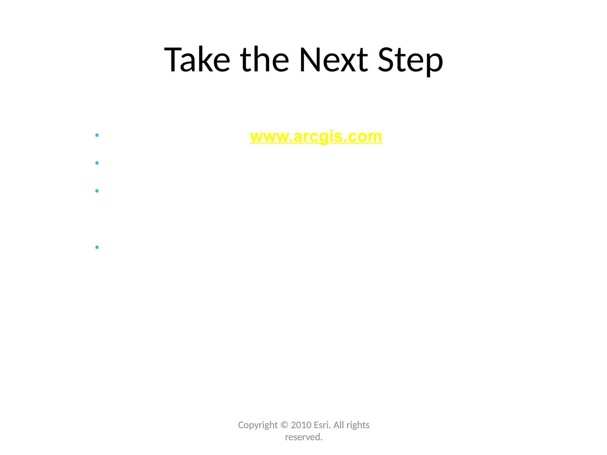
6.3.1 Esri ArcGIS/QGIS
6.3.2 HEC RAS
4.
4
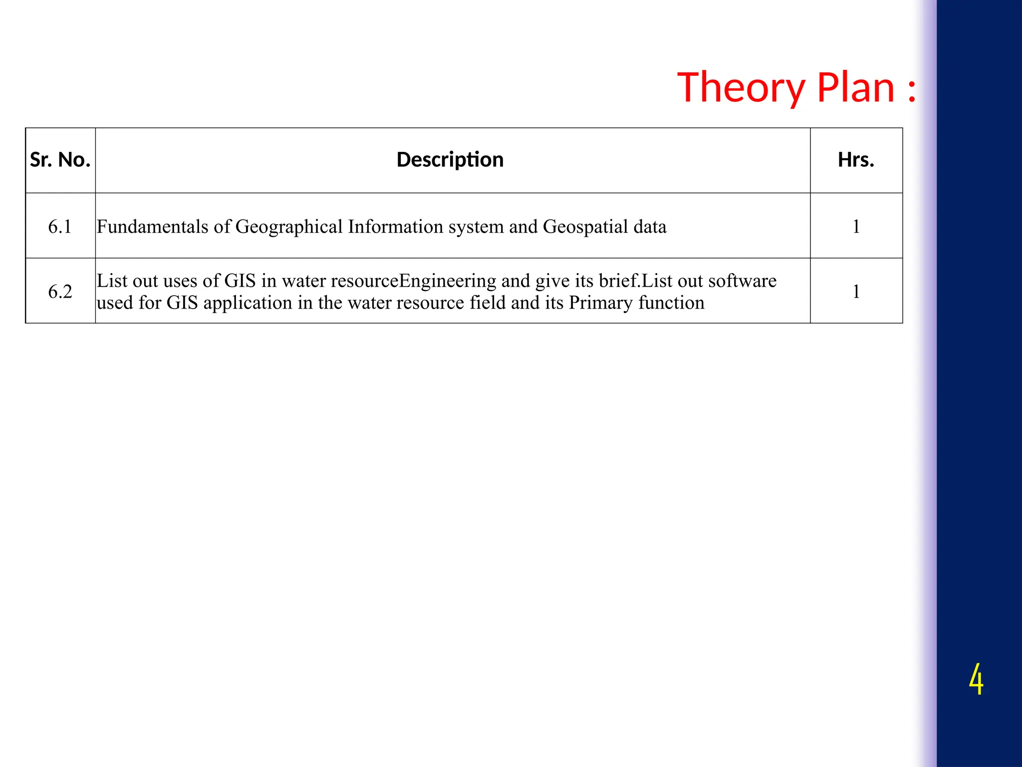
Theory Plan :
Sr.No. Description Hrs.
6.1 Fundamentals of Geographical Information system and Geospatial data 1
6.2
List out uses of GIS in water resourceEngineering and give its brief.List out software
used for GIS application in the water resource field and its Primary function
1
5.
5
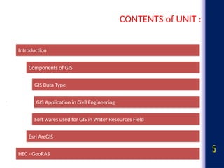
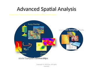
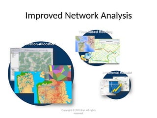
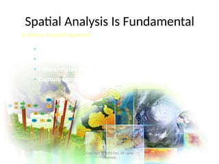
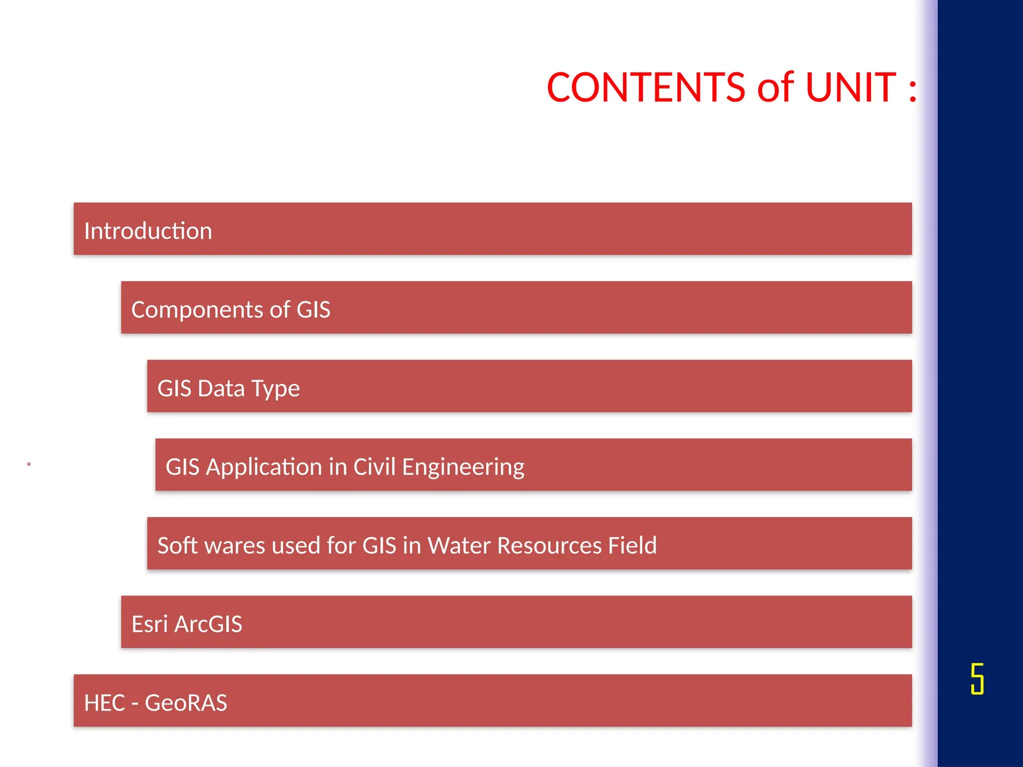
CONTENTS of UNIT:
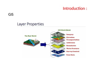
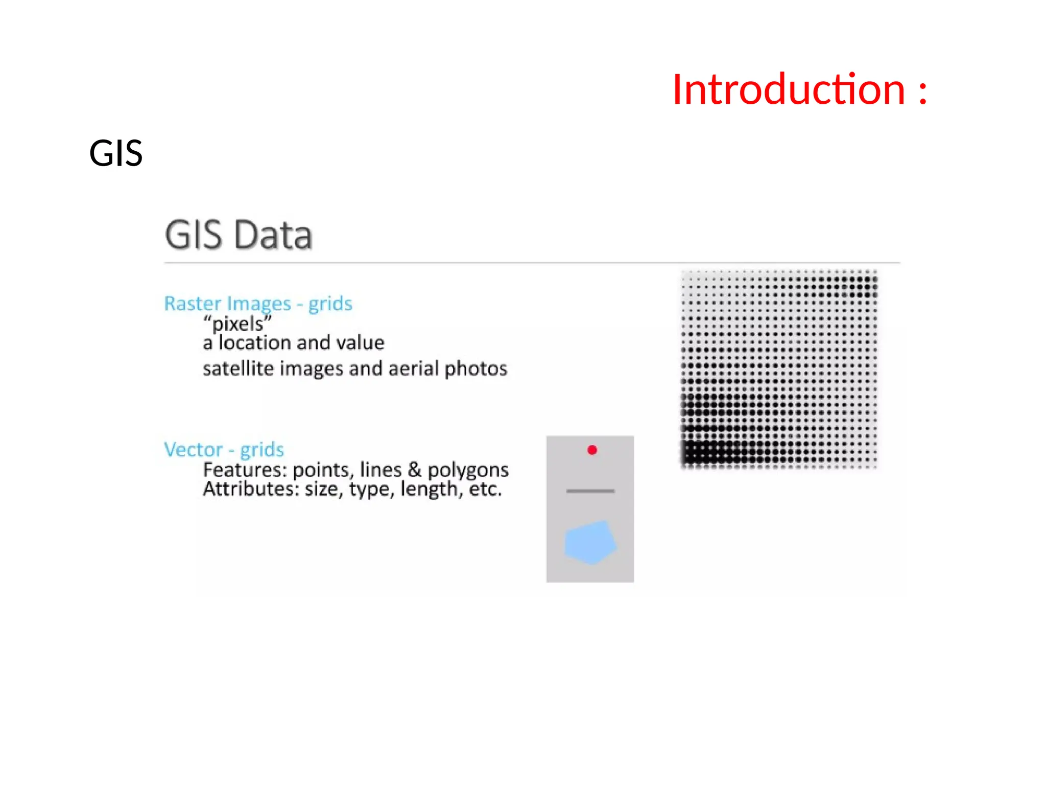
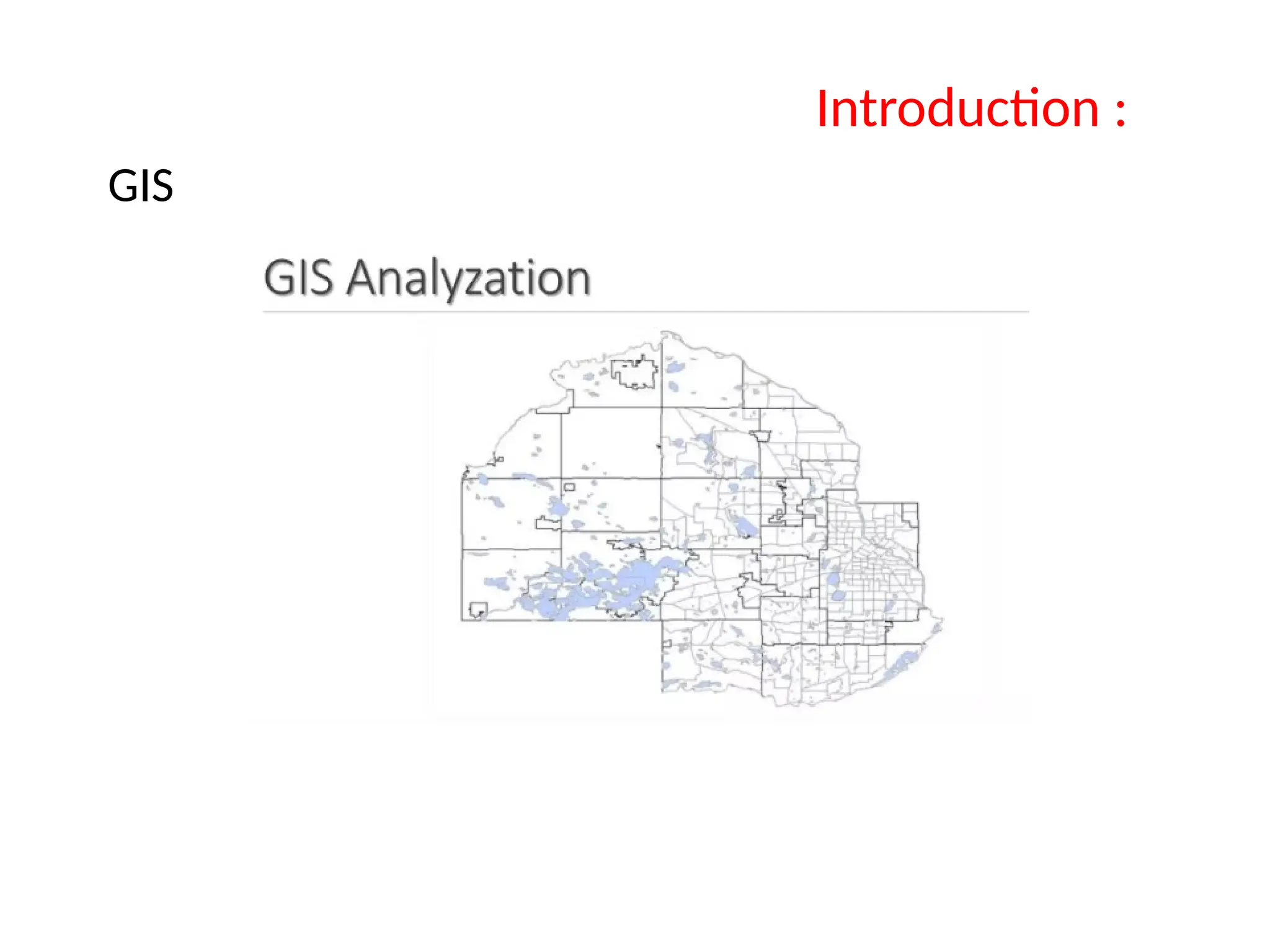
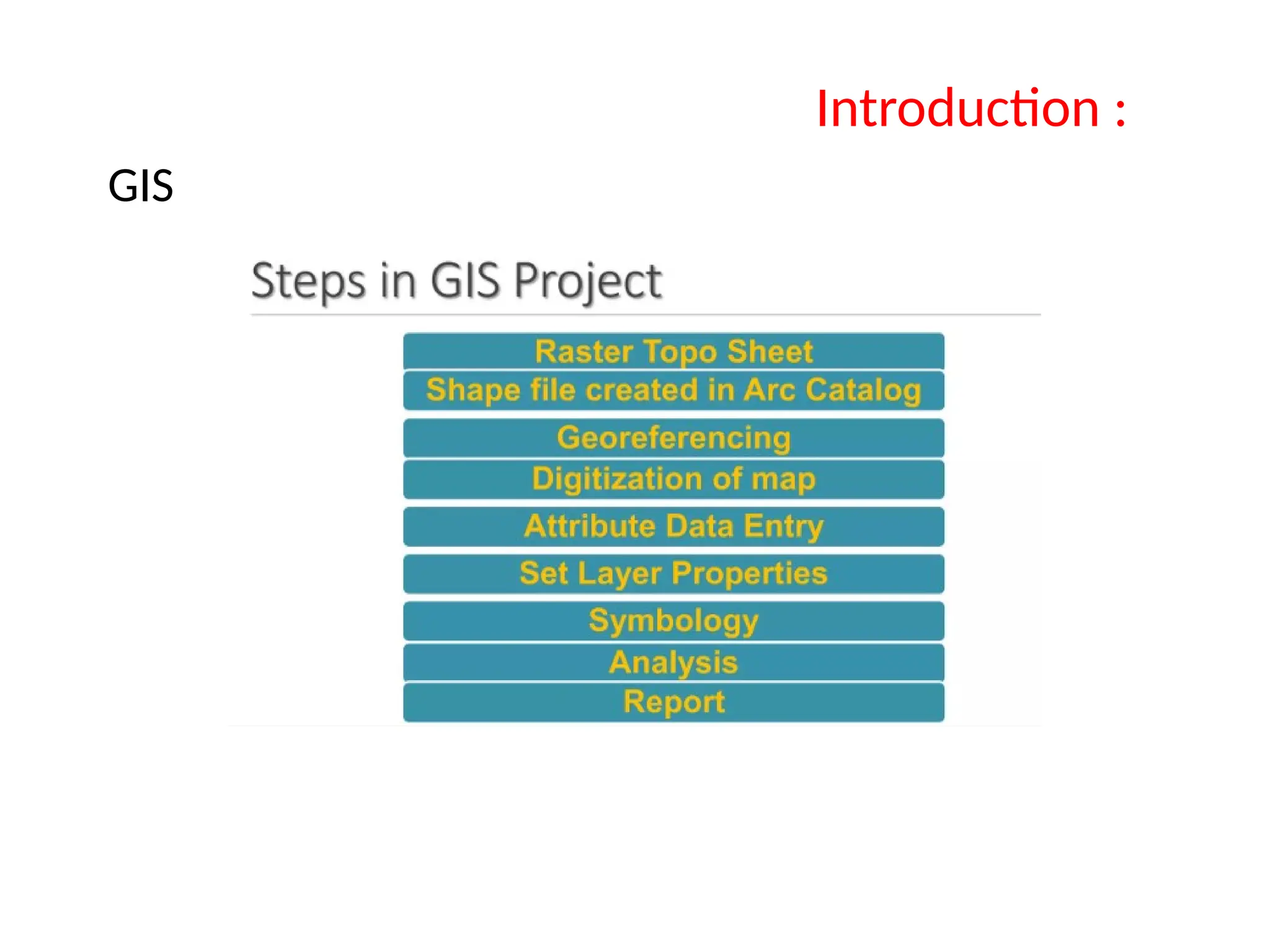
Introduction
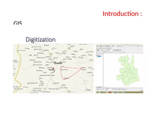
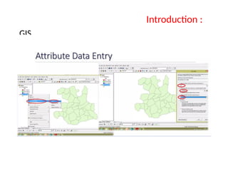
Components of GIS
GIS Data Type
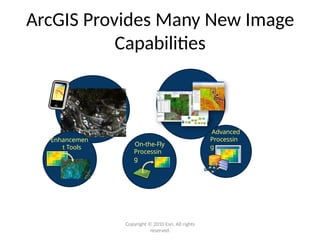
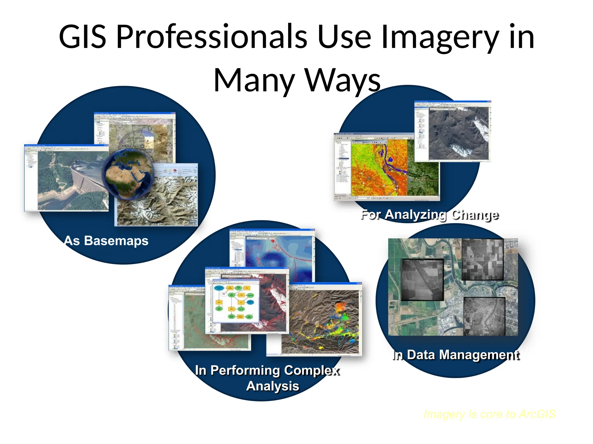
GIS Application in Civil Engineering
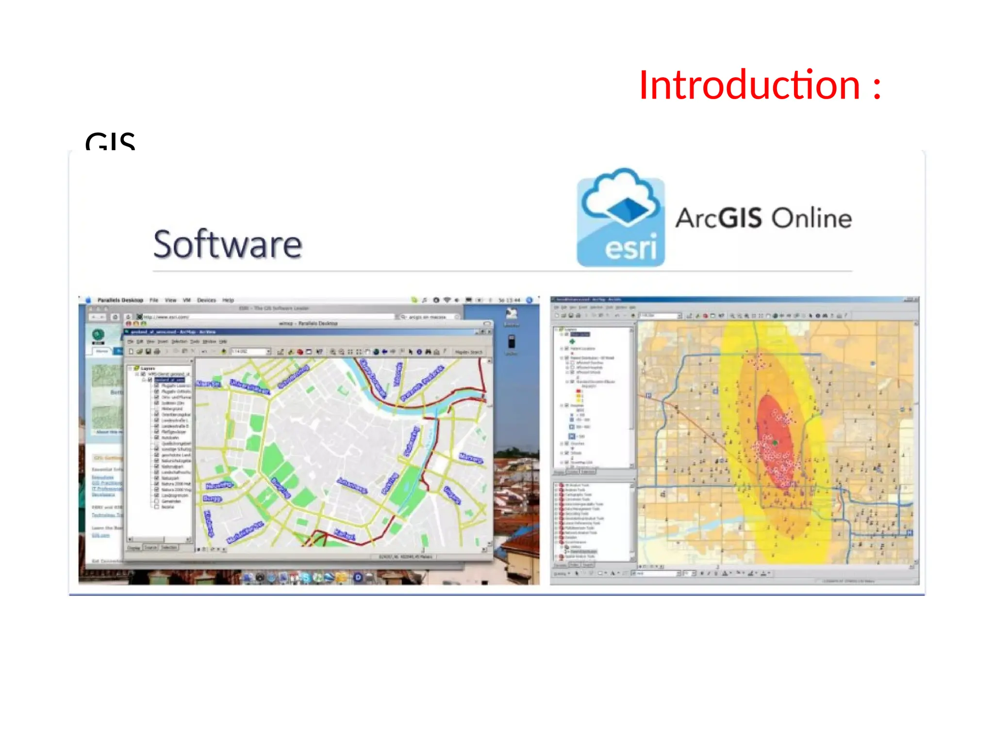
Soft wares used for GIS in Water Resources Field
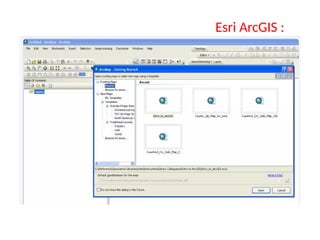
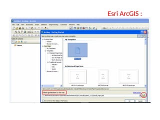
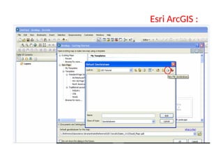
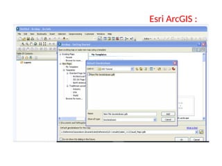
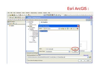
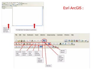
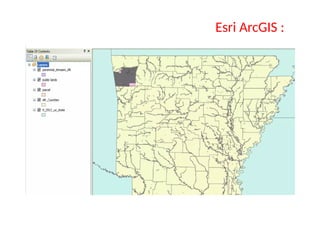
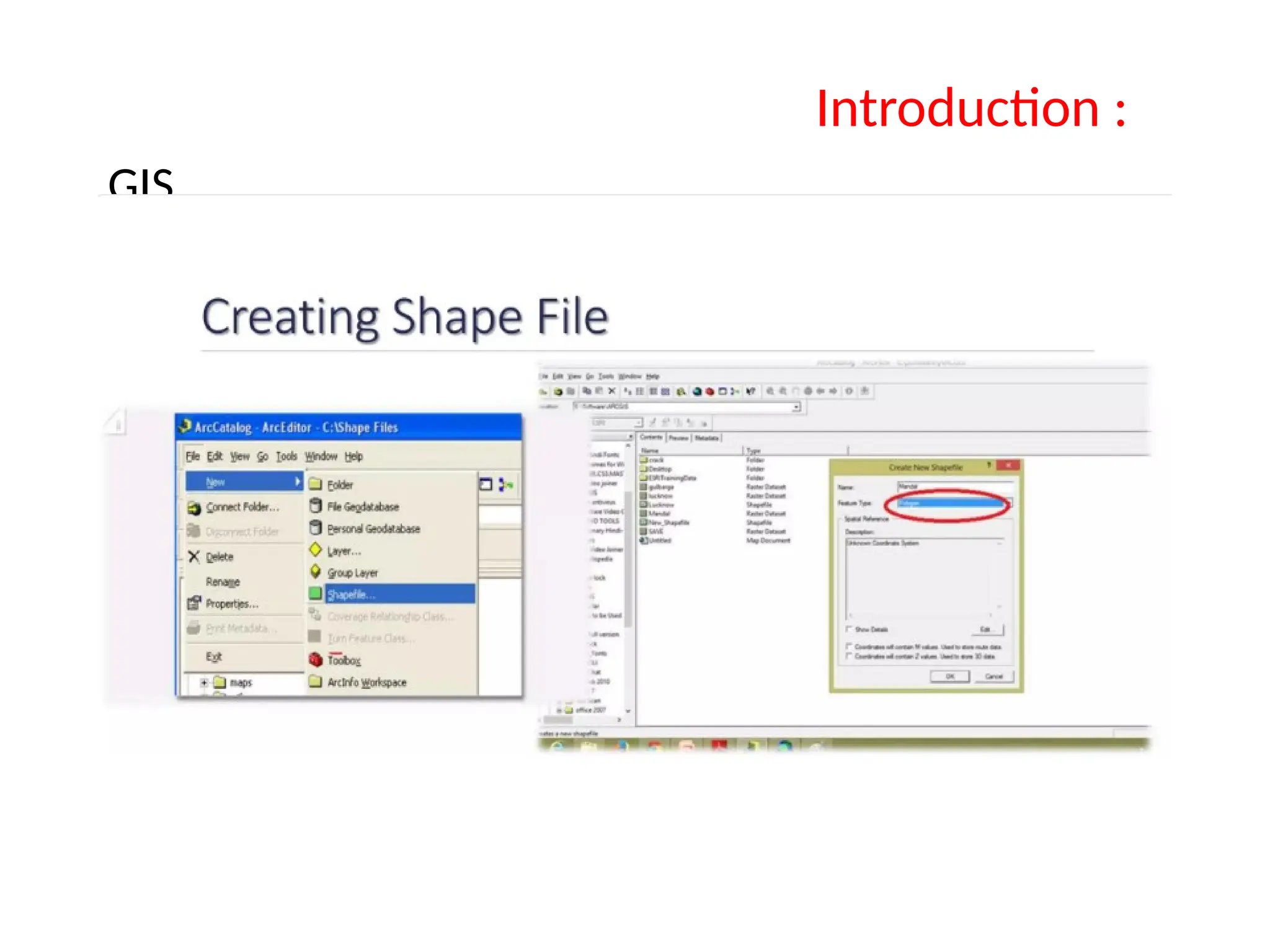
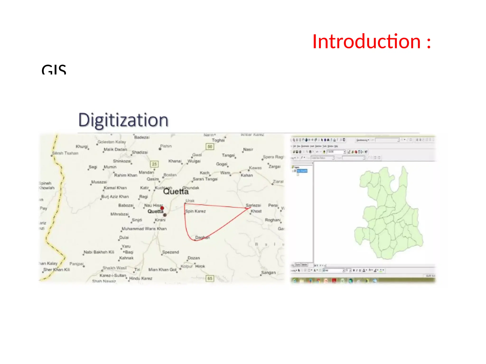
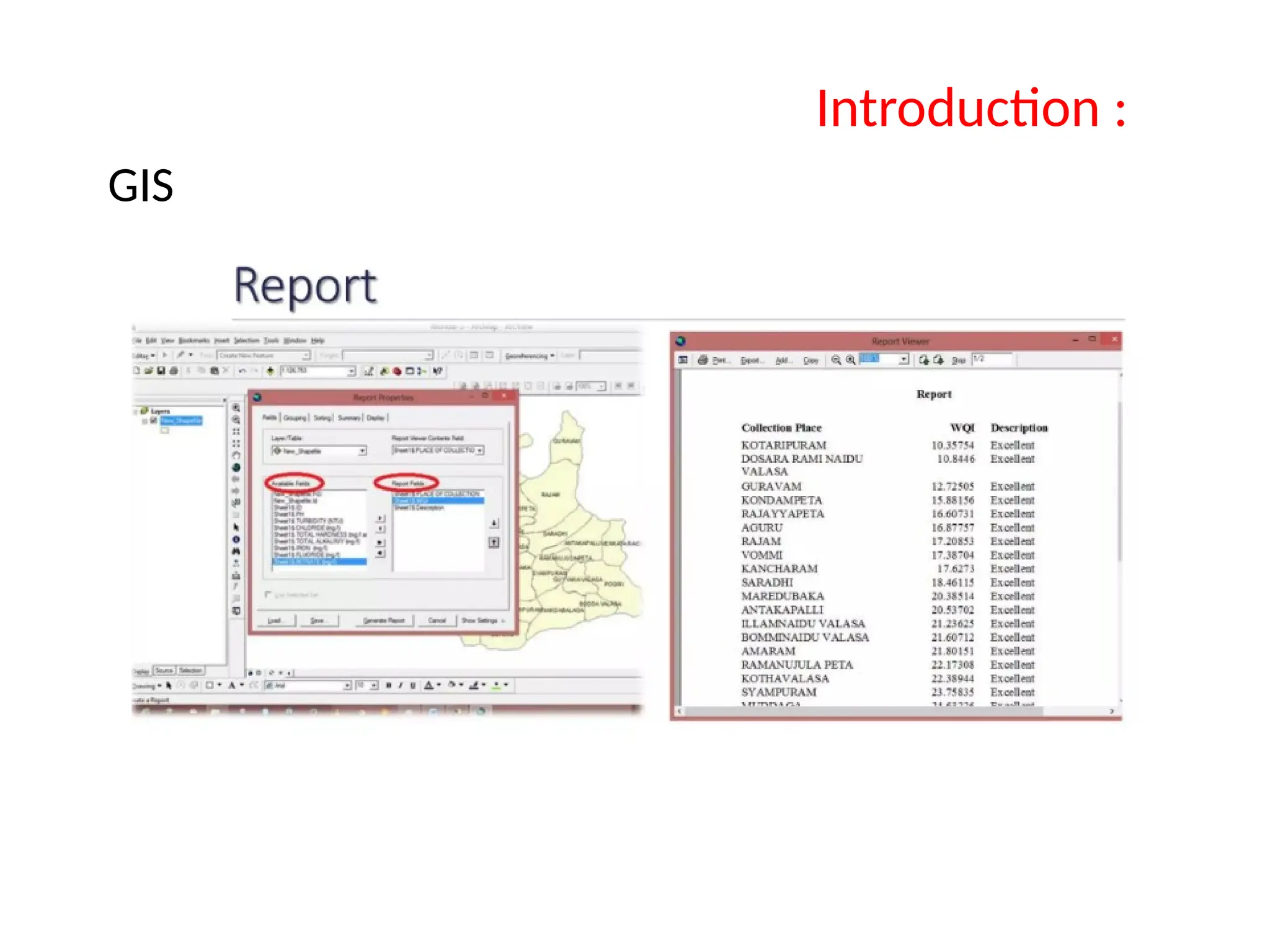
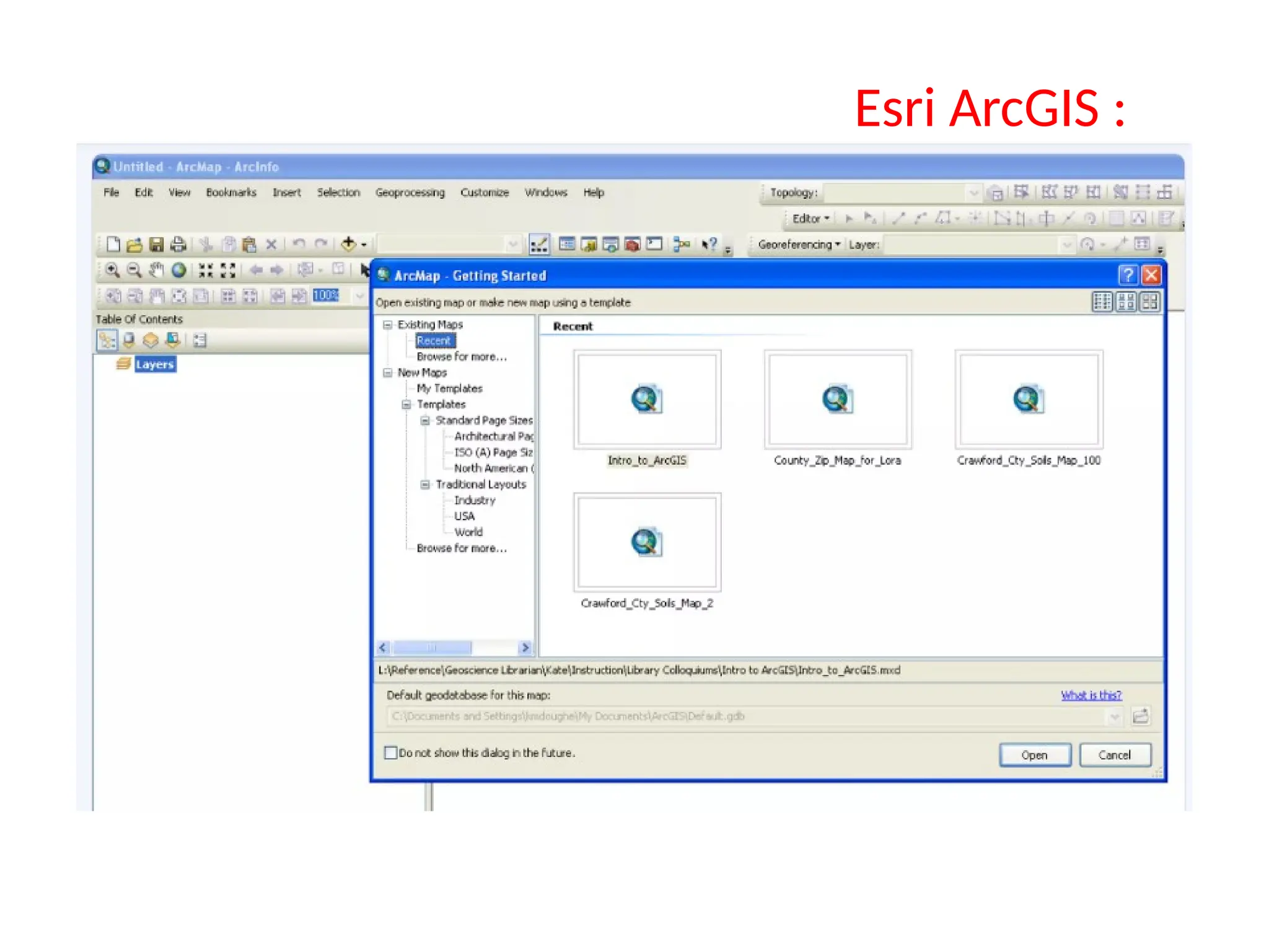
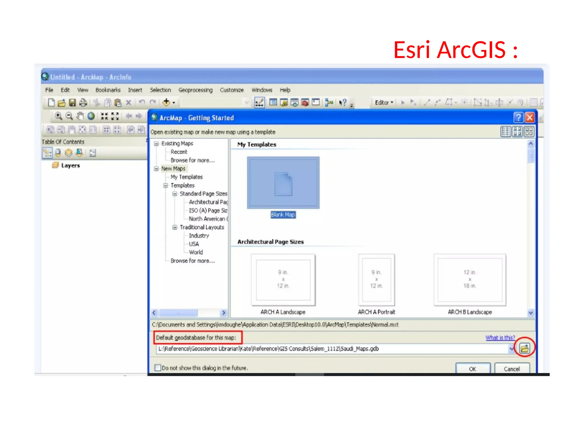
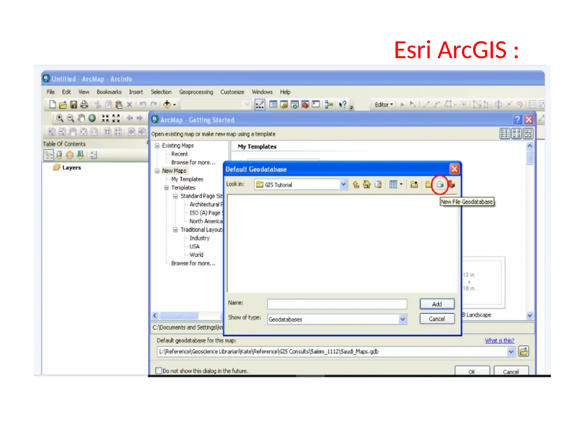
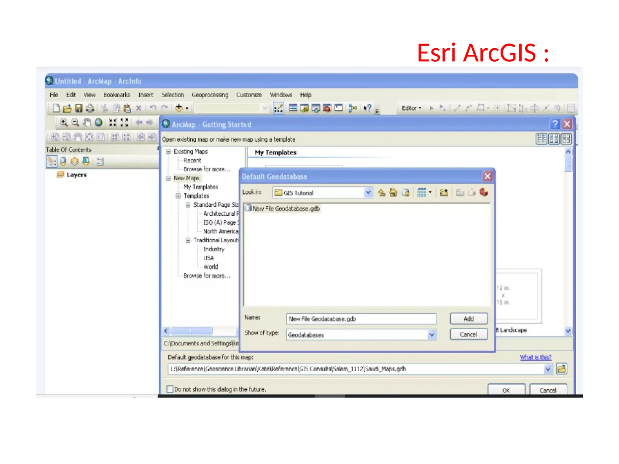
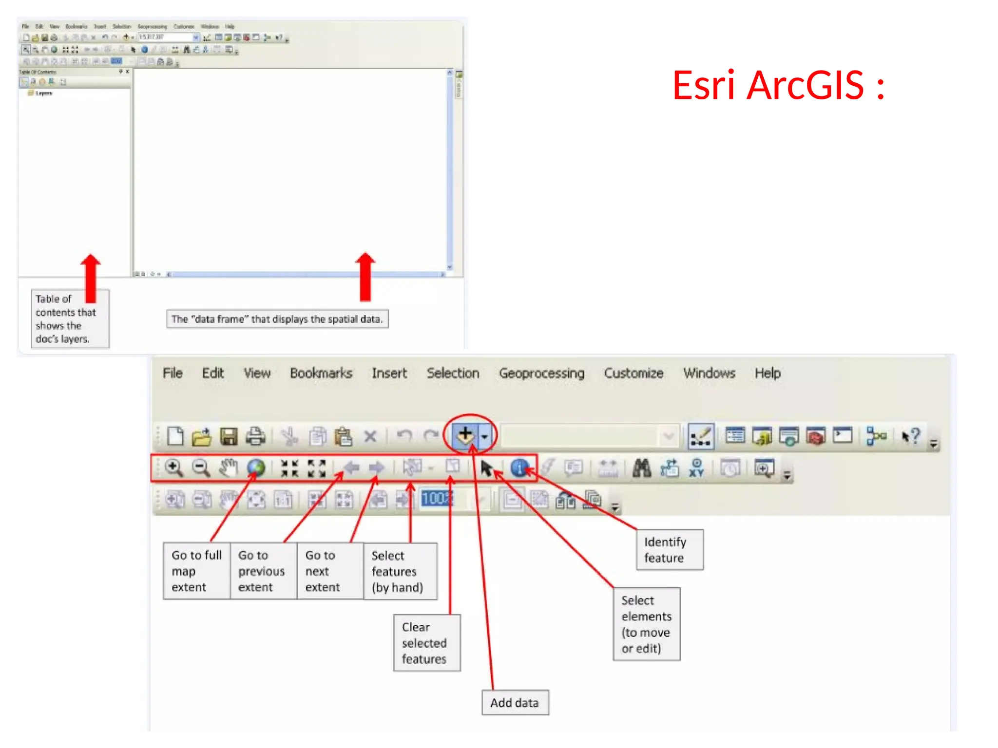
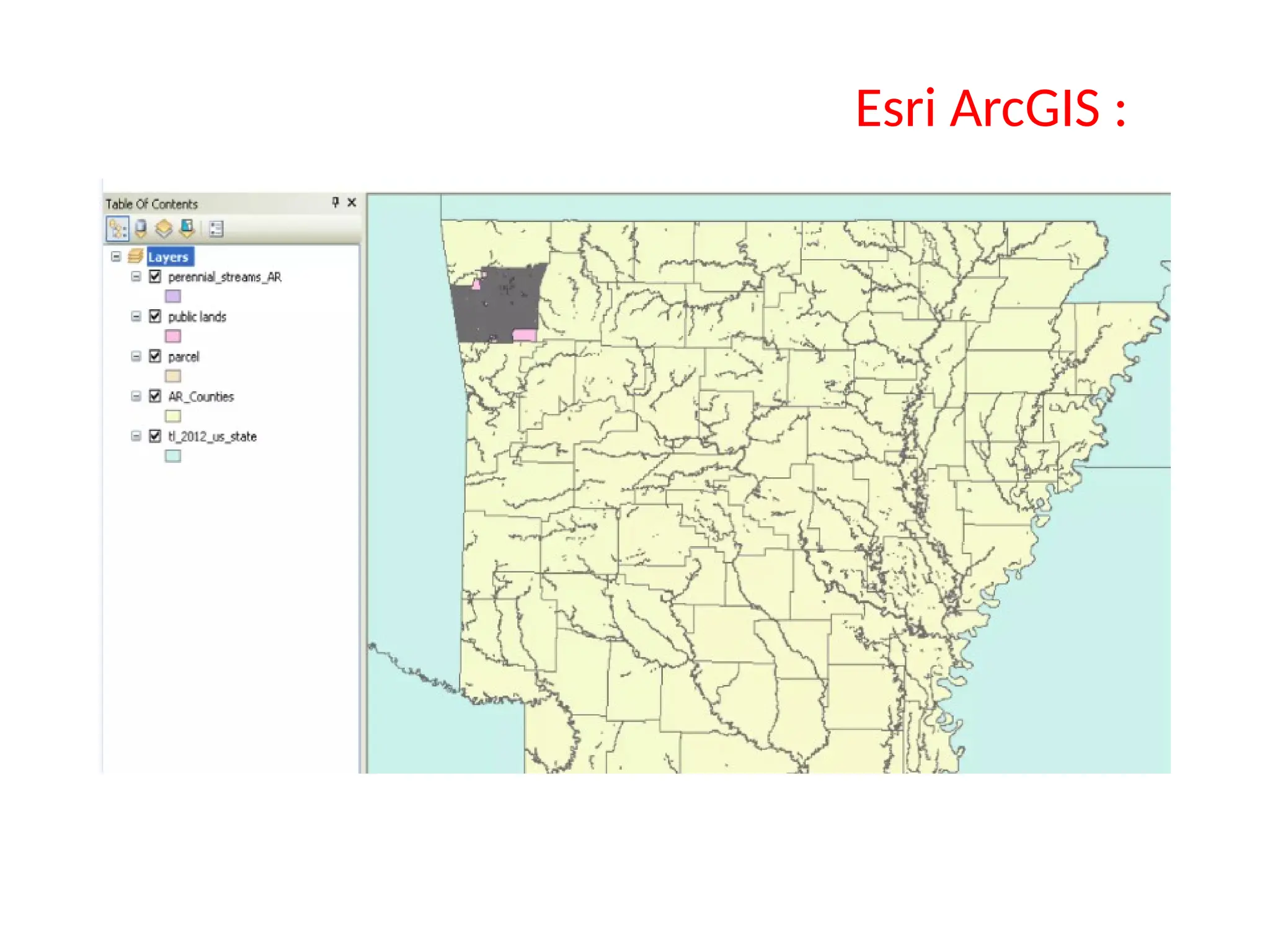
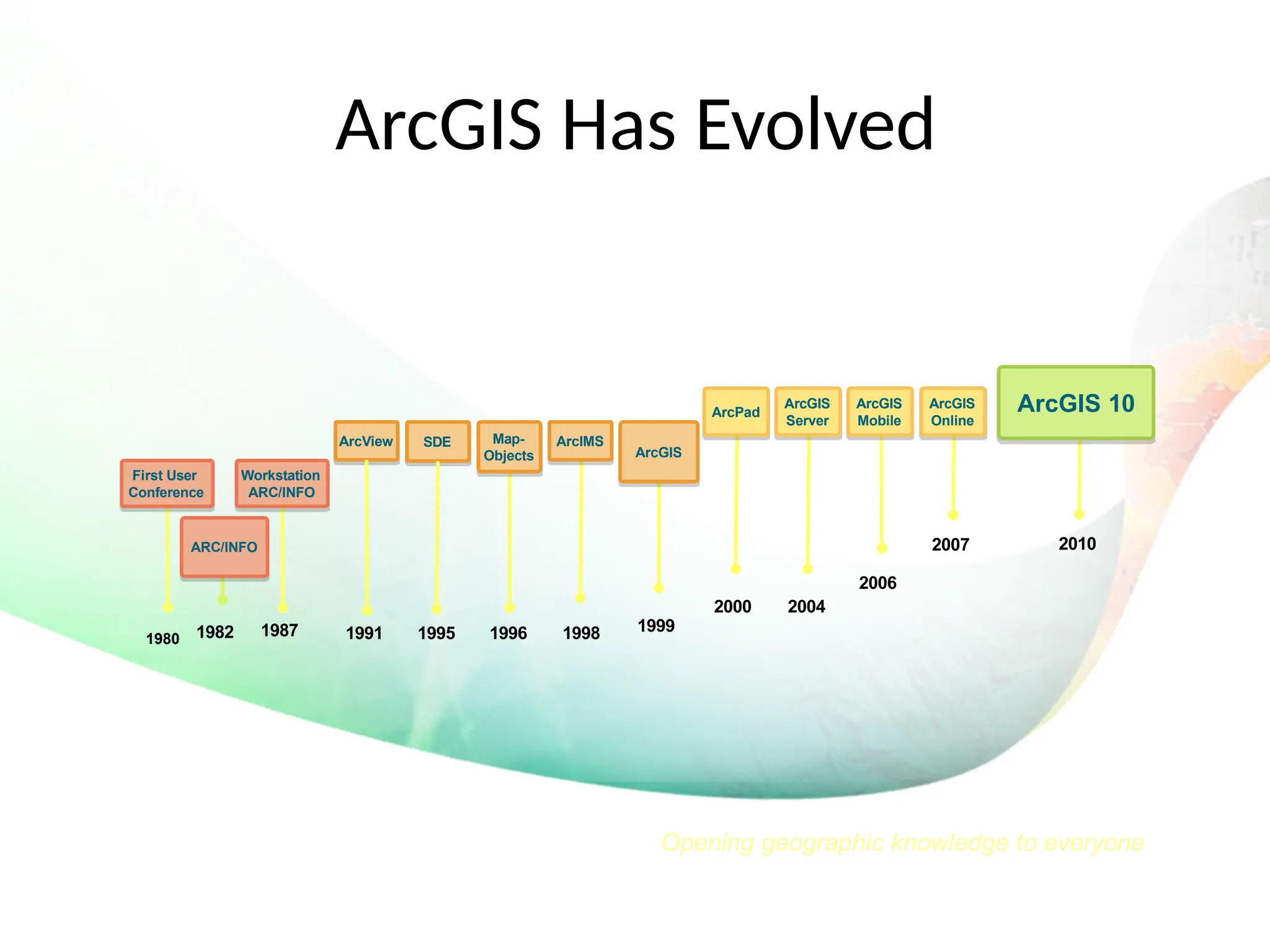
Esri ArcGIS
HEC - GeoRAS
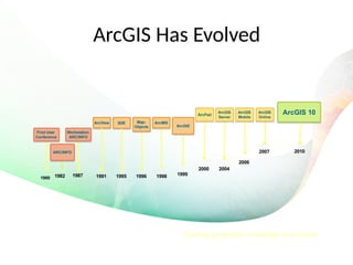
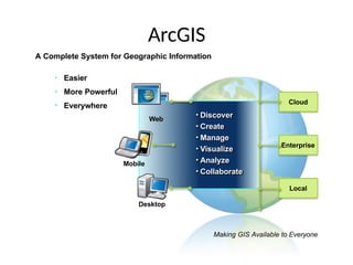
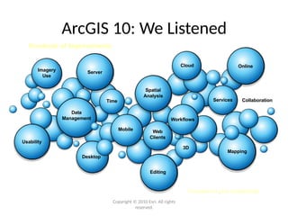
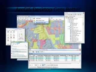
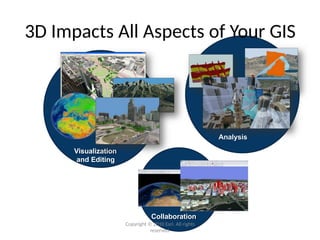
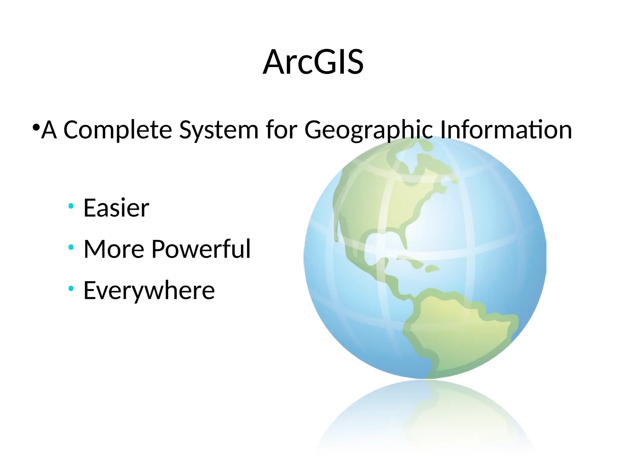
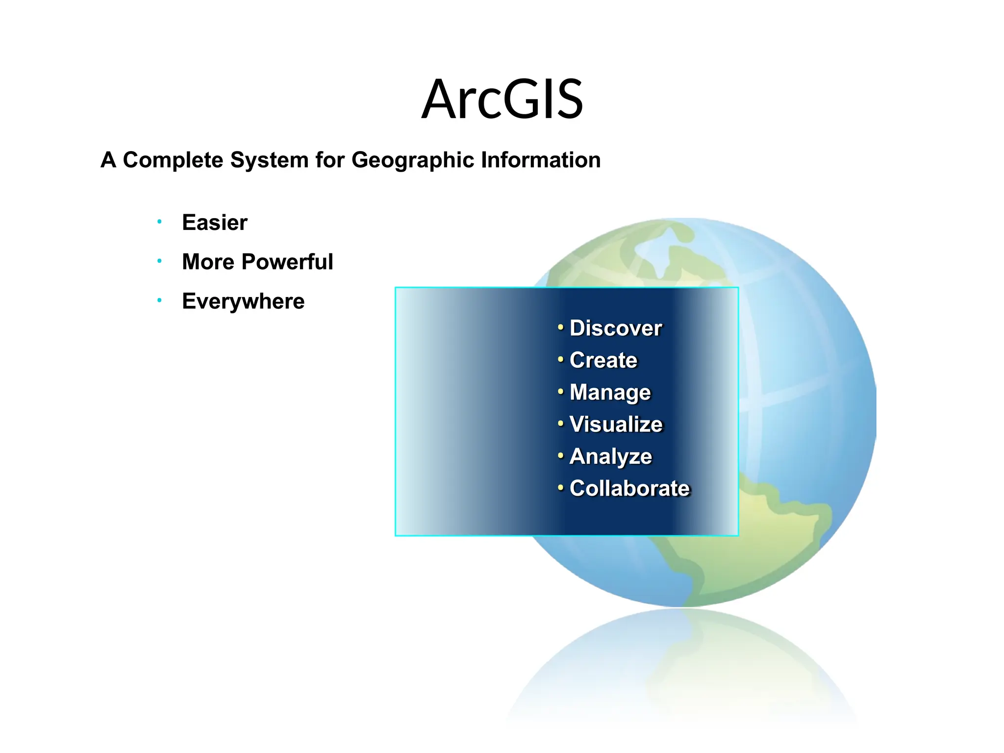
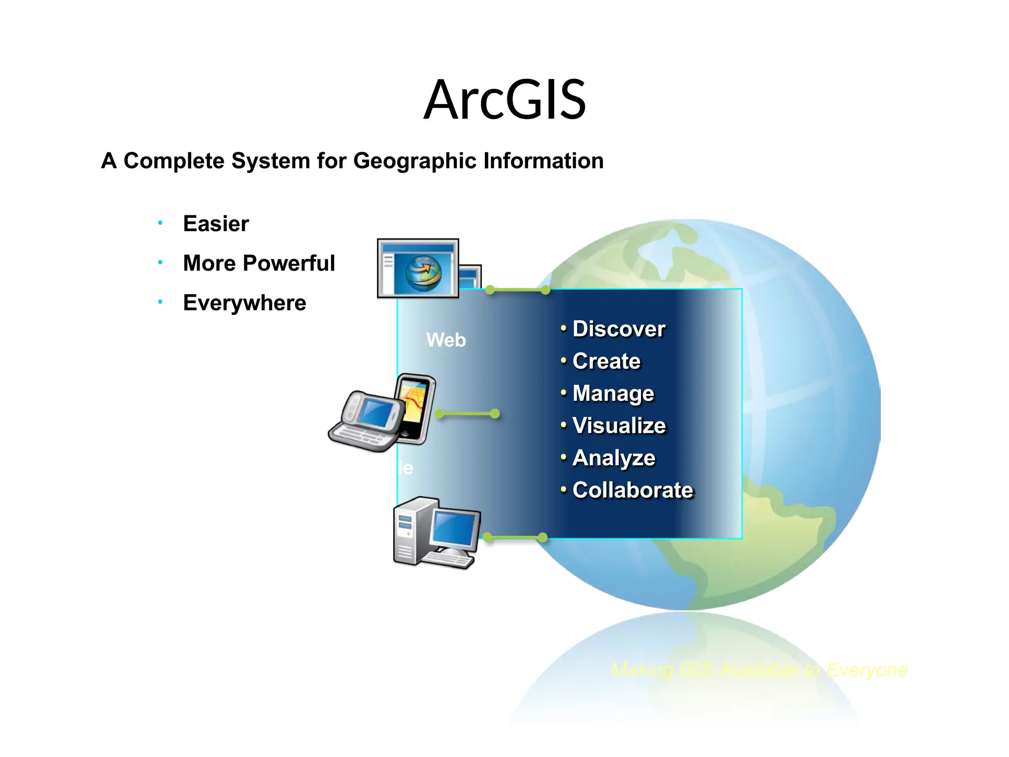
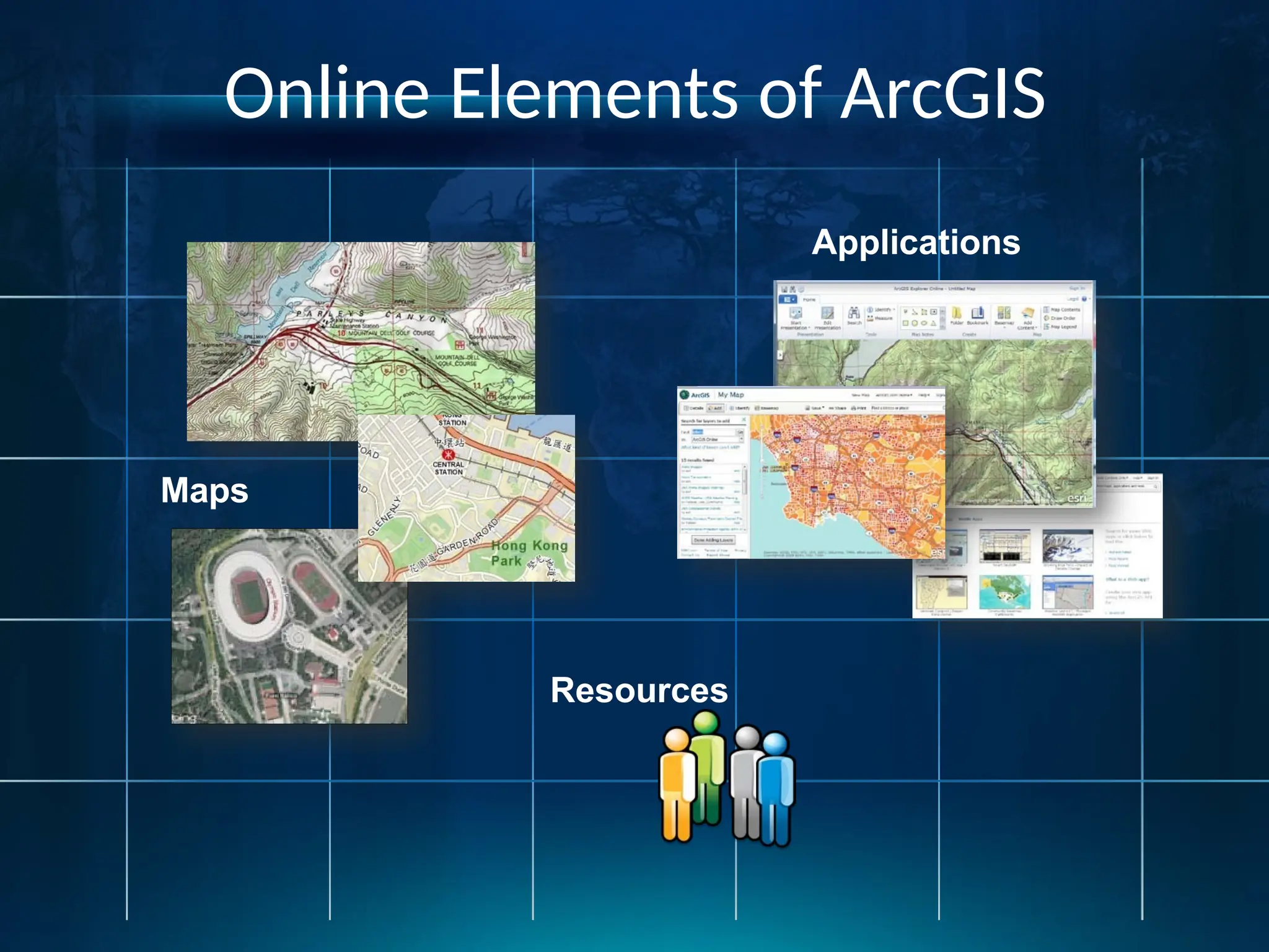
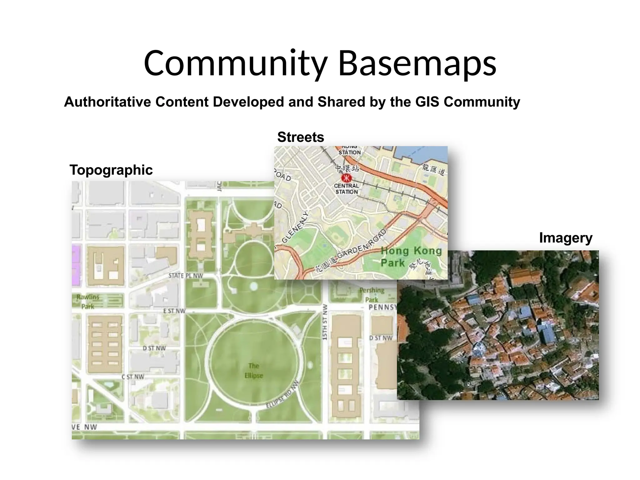
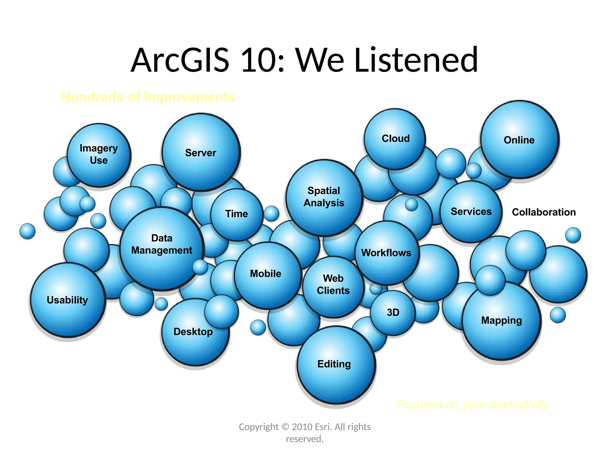
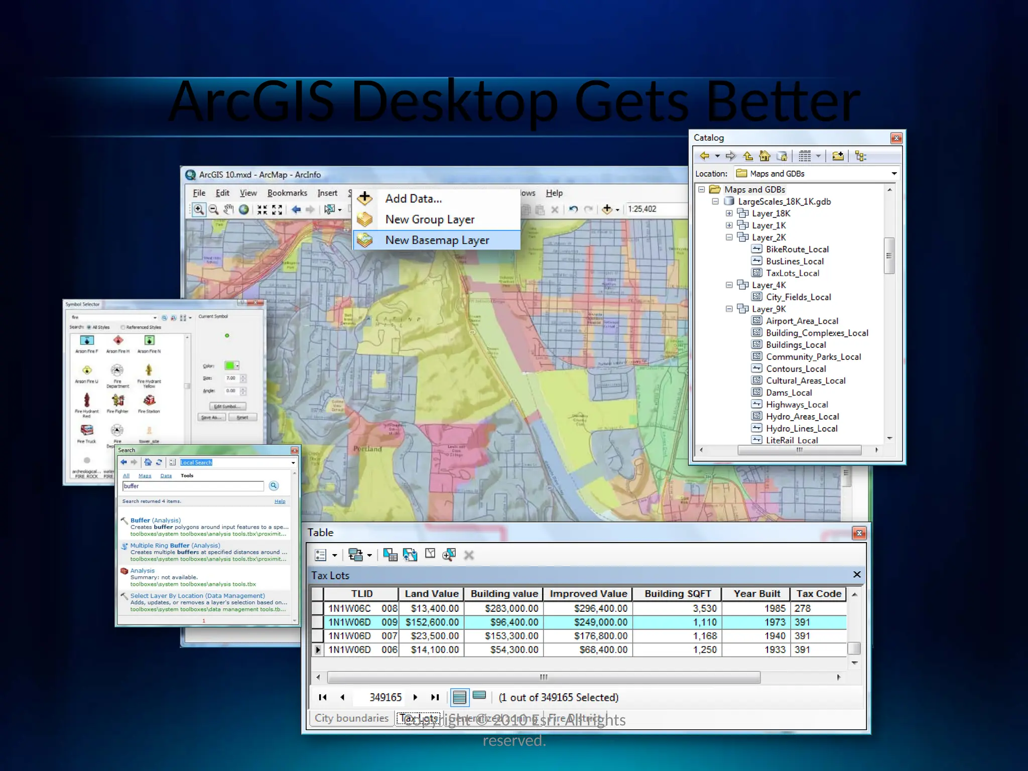
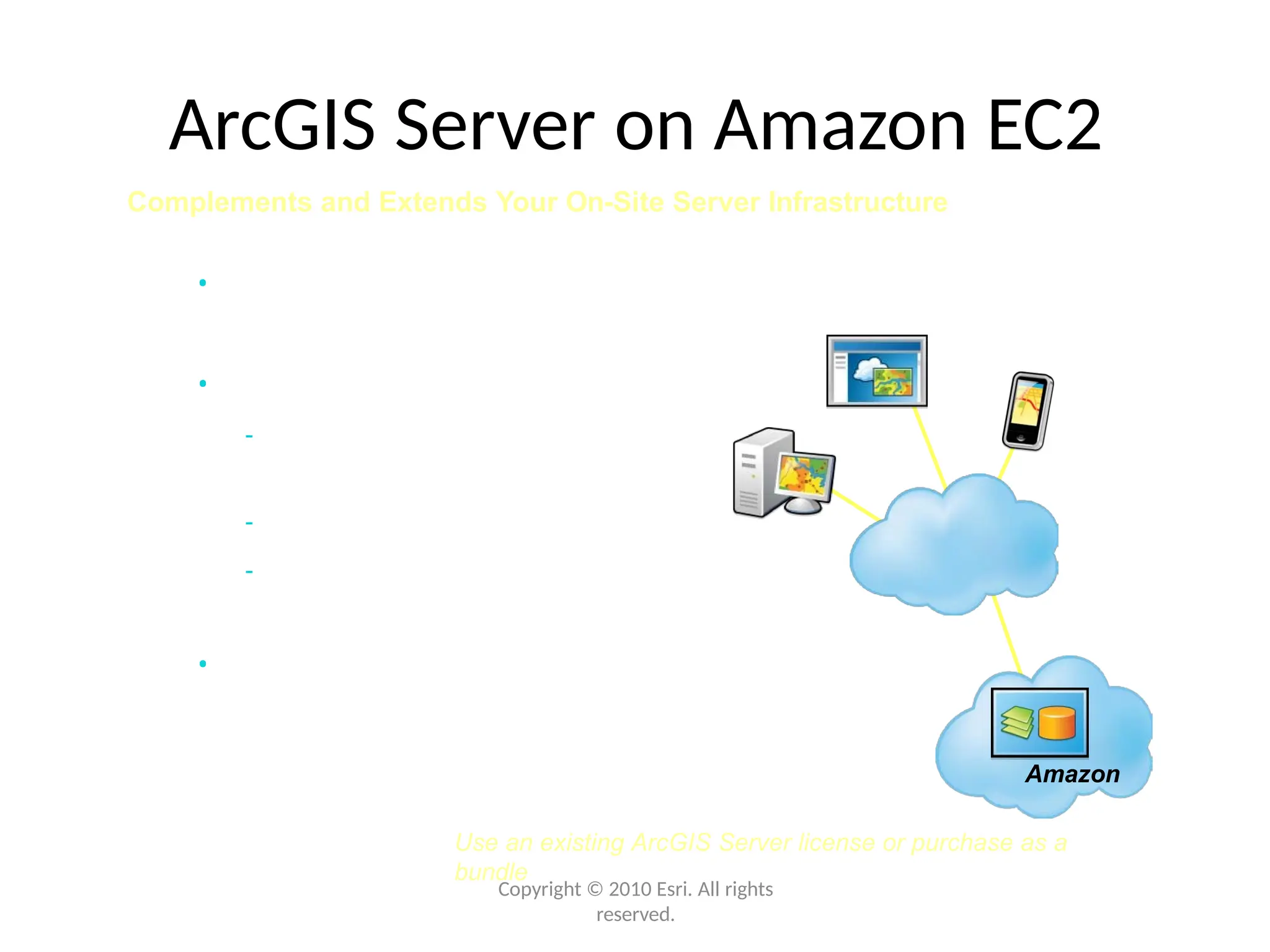
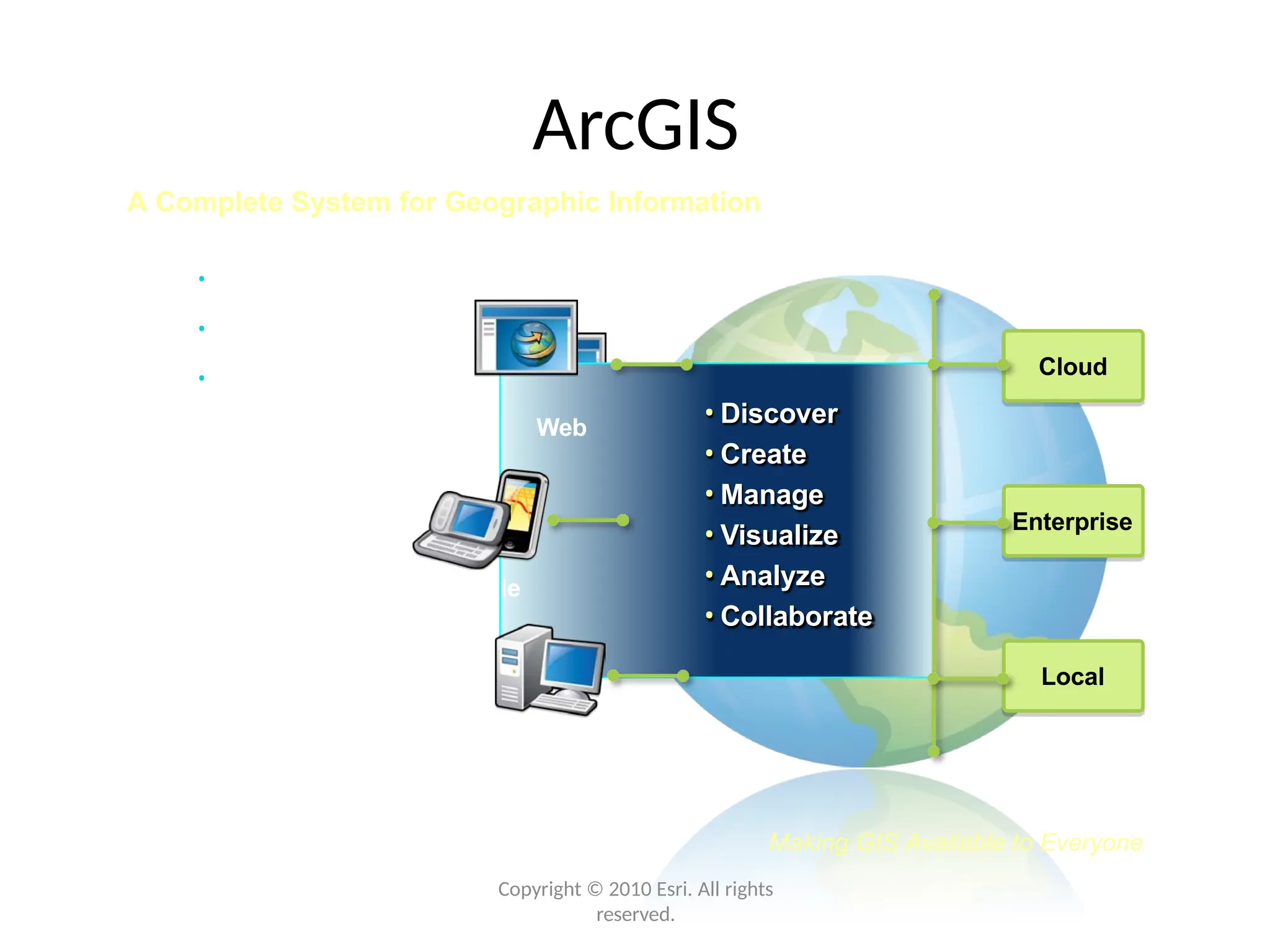
ArcGIS
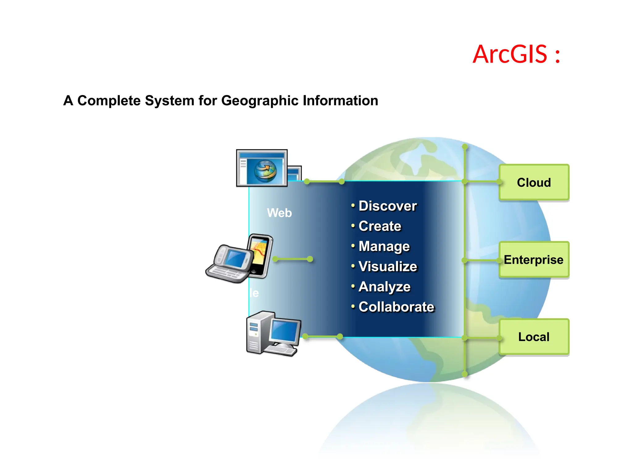
A Complete Systemfor Geographic Information
• Easier
• More Powerful
• Everywhere
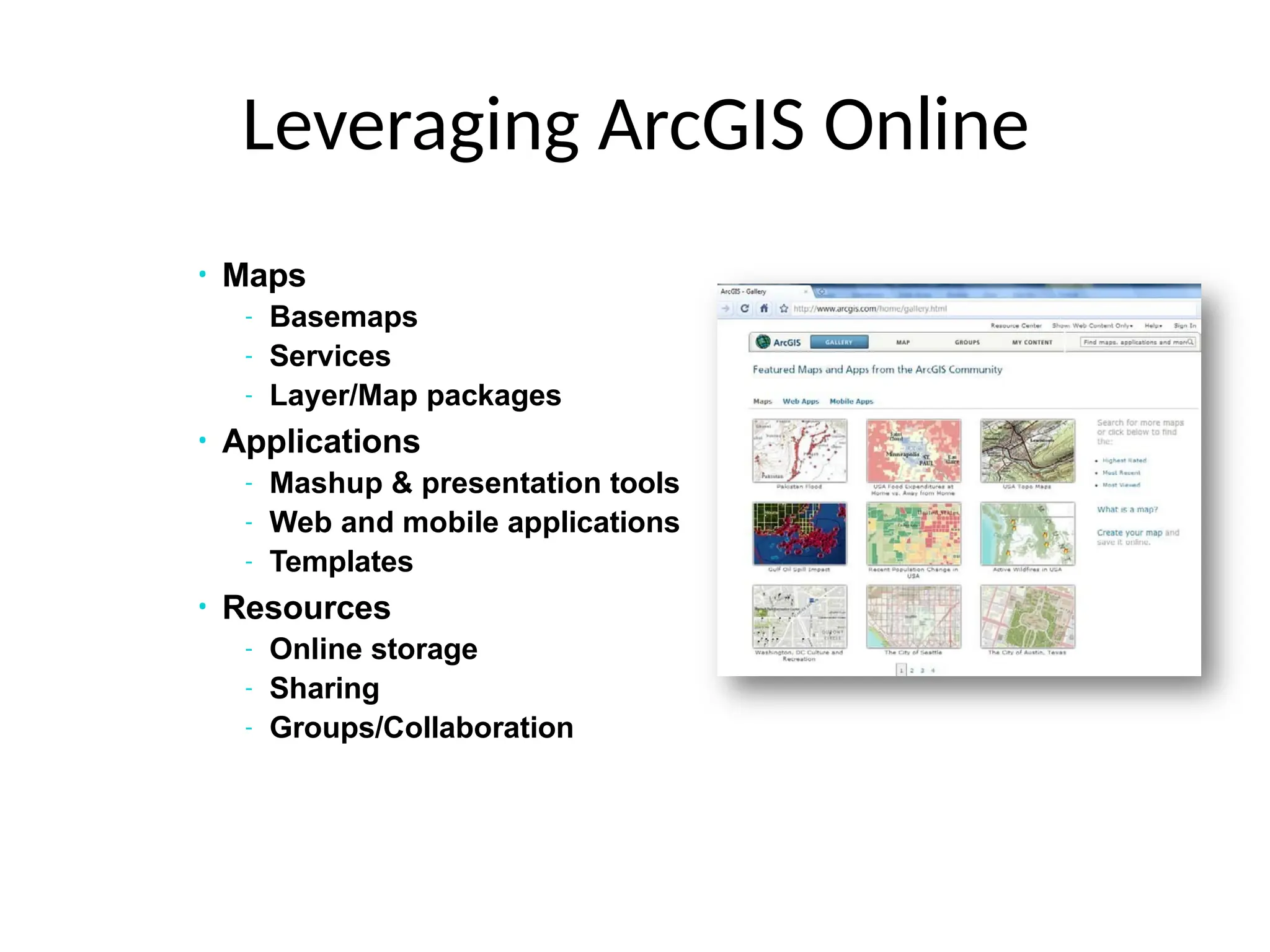
• Discover
• Create
• Manage
• Visualize
• Analyze
• Collaborate
34.
• Discover
• Create
•Manage
• Visualize
• Analyze
• Collaborate
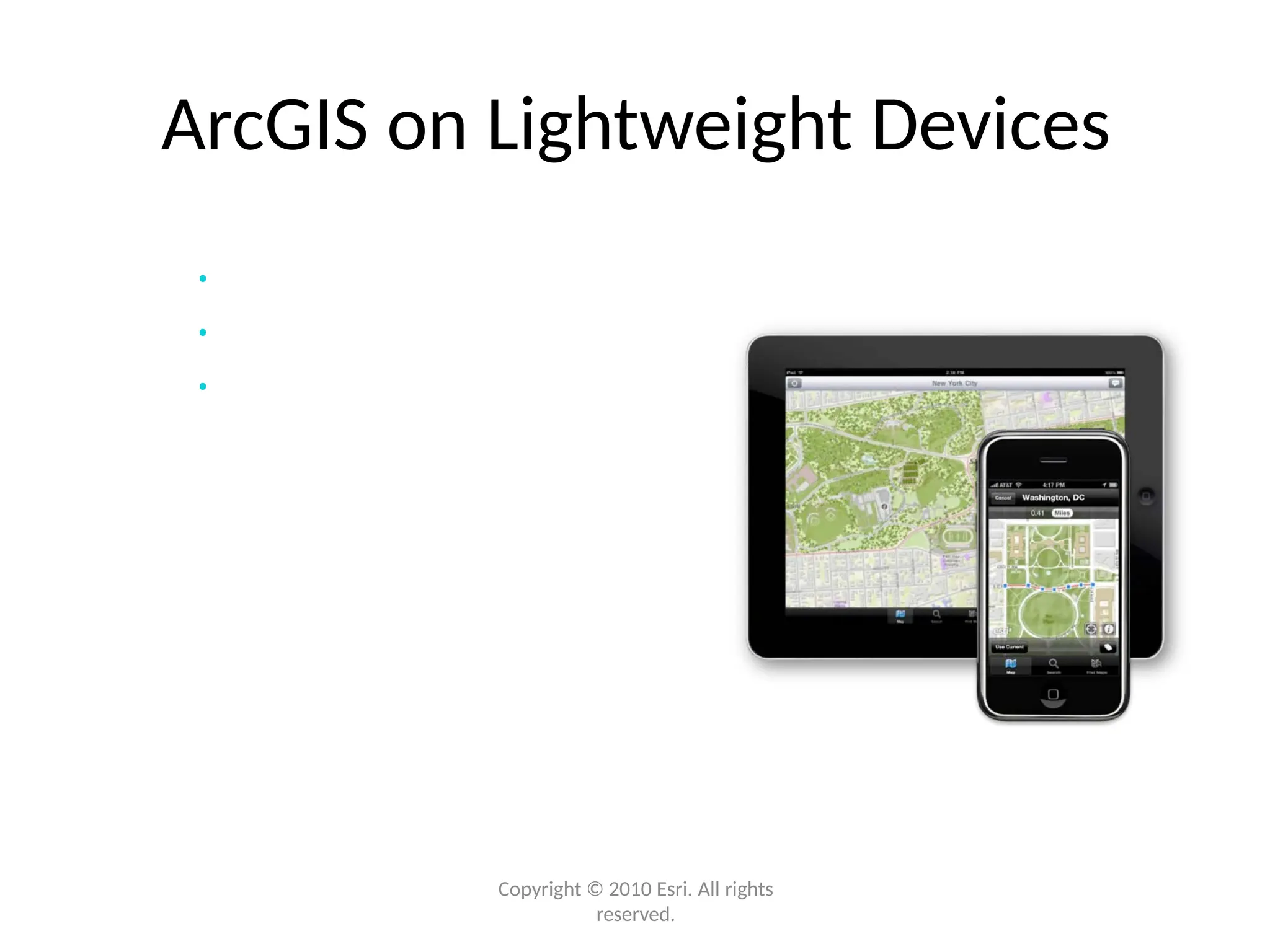
Web
Mobile
Desktop
Making GIS Available to Everyone
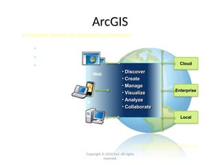
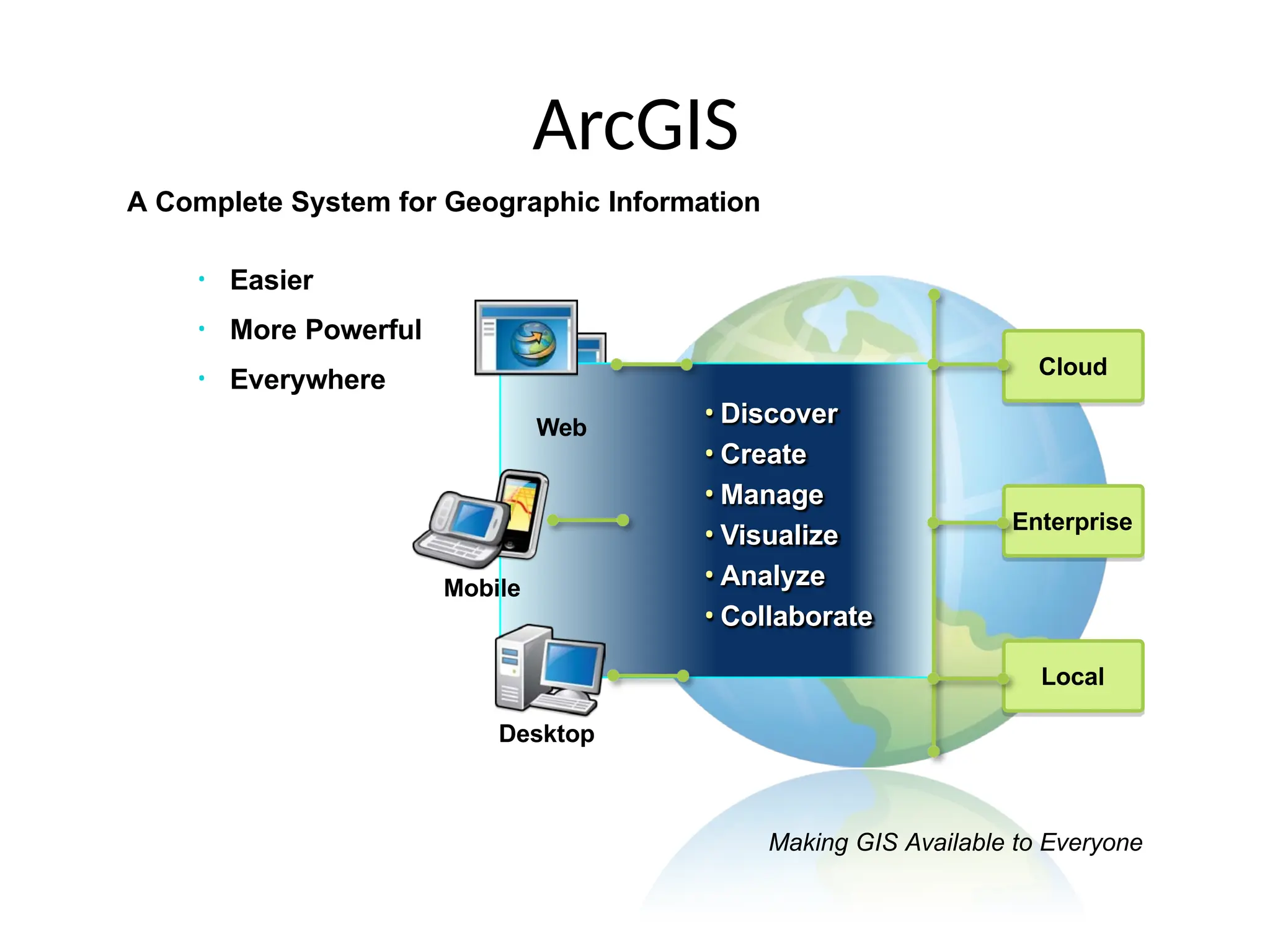
ArcGIS
A Complete System for Geographic Information
• Easier
• More Powerful
• Everywhere
35.
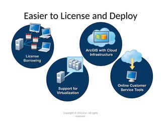
• Easier
• MorePowerful
• Everywhere Cloud
Enterprise
Local
• Discover
• Create
• Manage
• Visualize
• Analyze
• Collaborate
Web
Mobile
Desktop
Making GIS Available to Everyone
ArcGIS
A Complete System for Geographic Information
36.
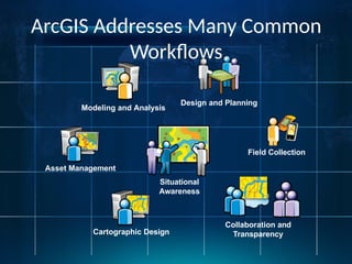
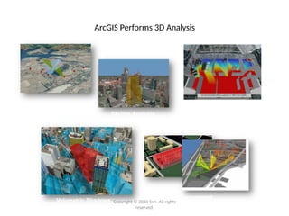
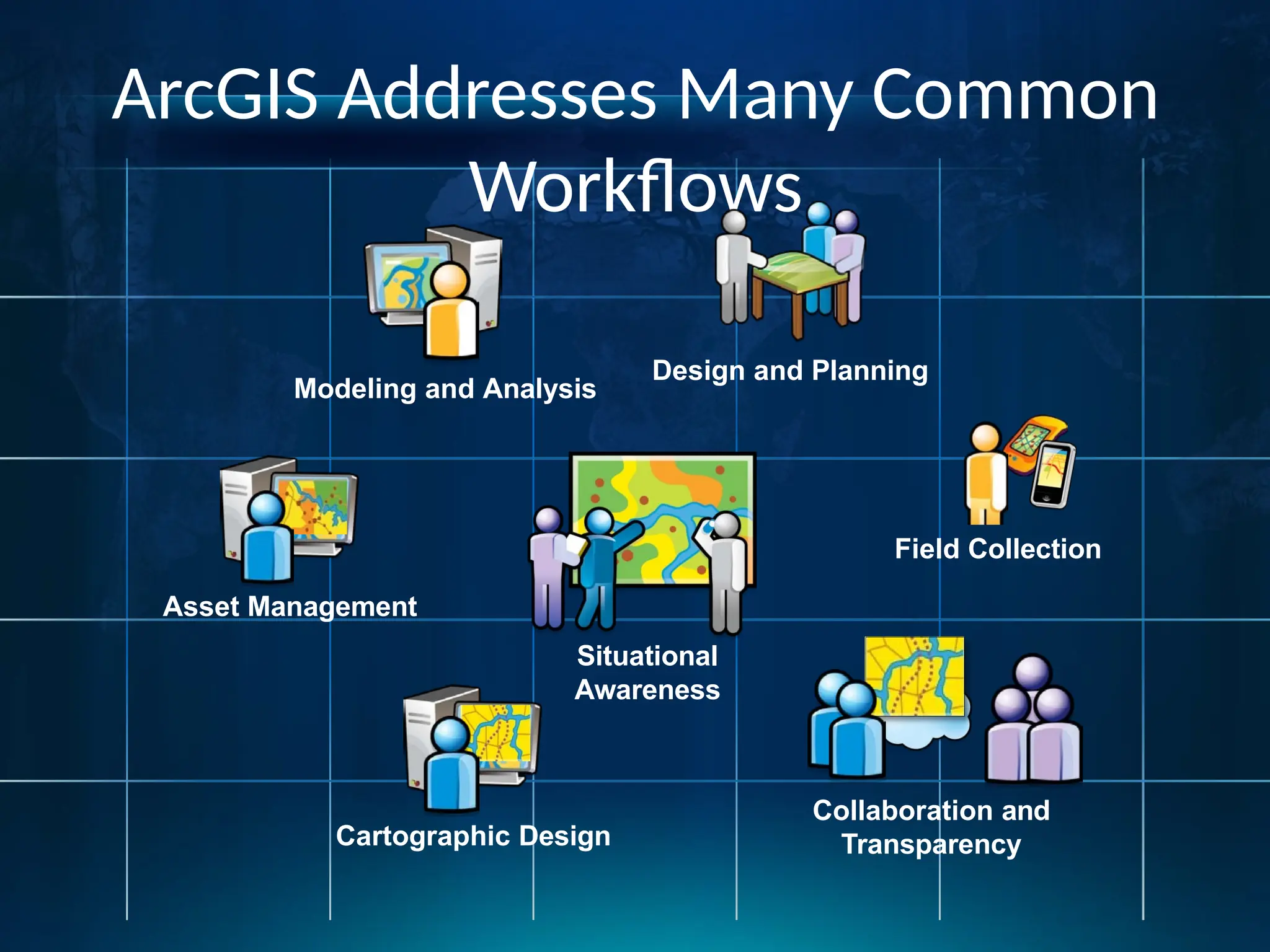
ArcGIS Addresses ManyCommon
Workflows
Design and Planning
Modeling and Analysis
Cartographic Design
Collaboration and
Transparency
Asset Management
Situational
Awareness
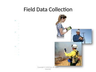
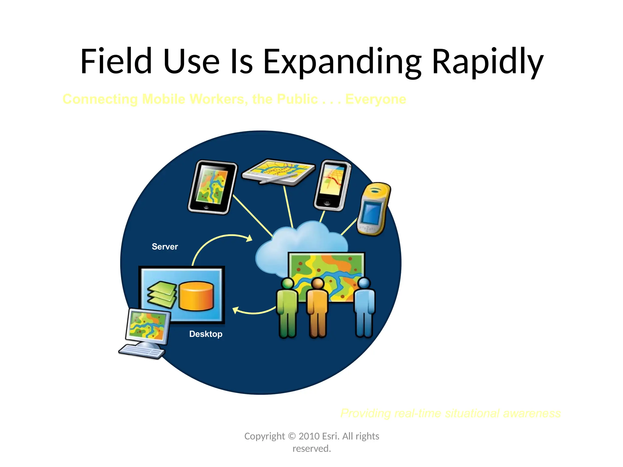
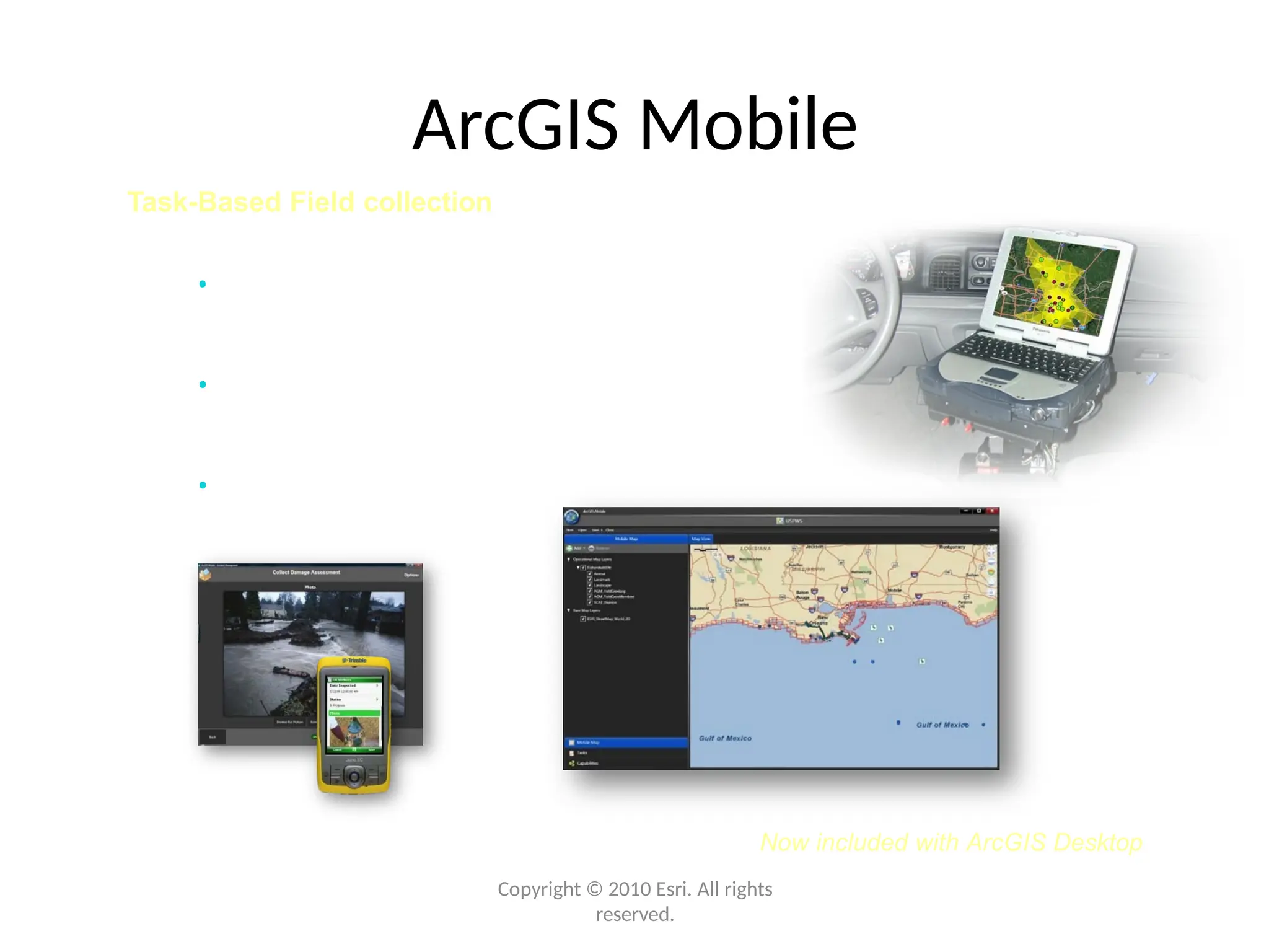
Field Collection