Download as PDF, PPTX


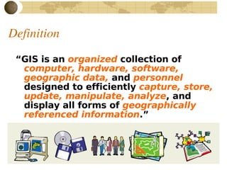
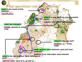
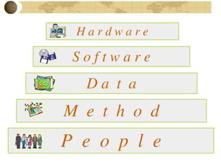


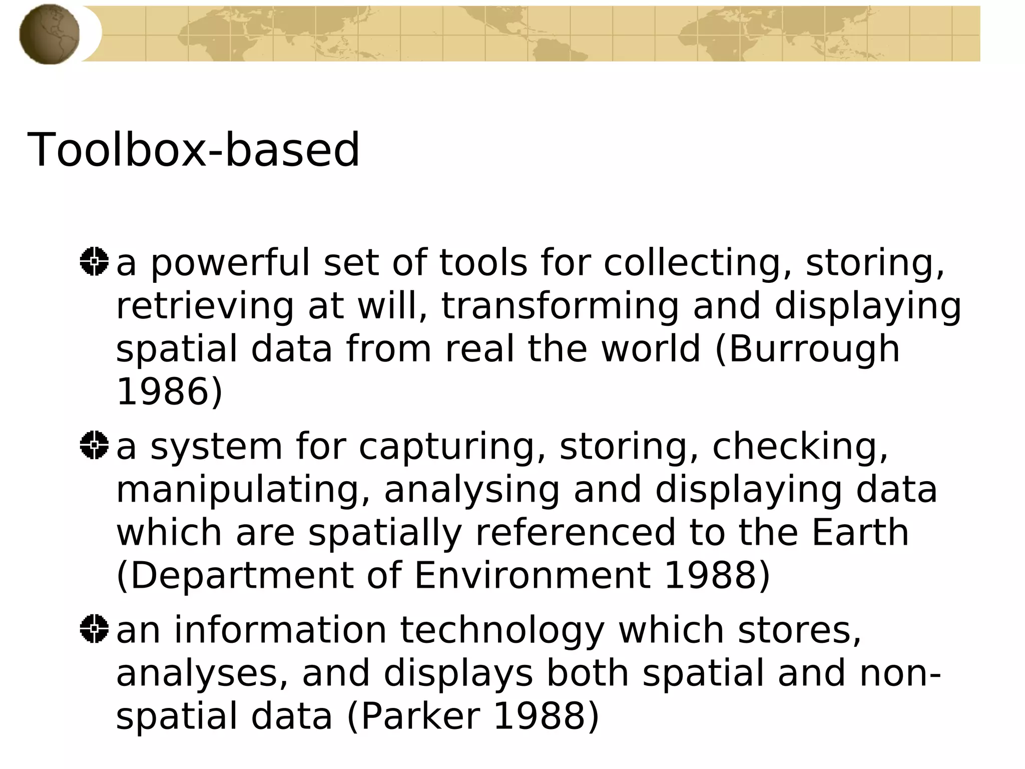
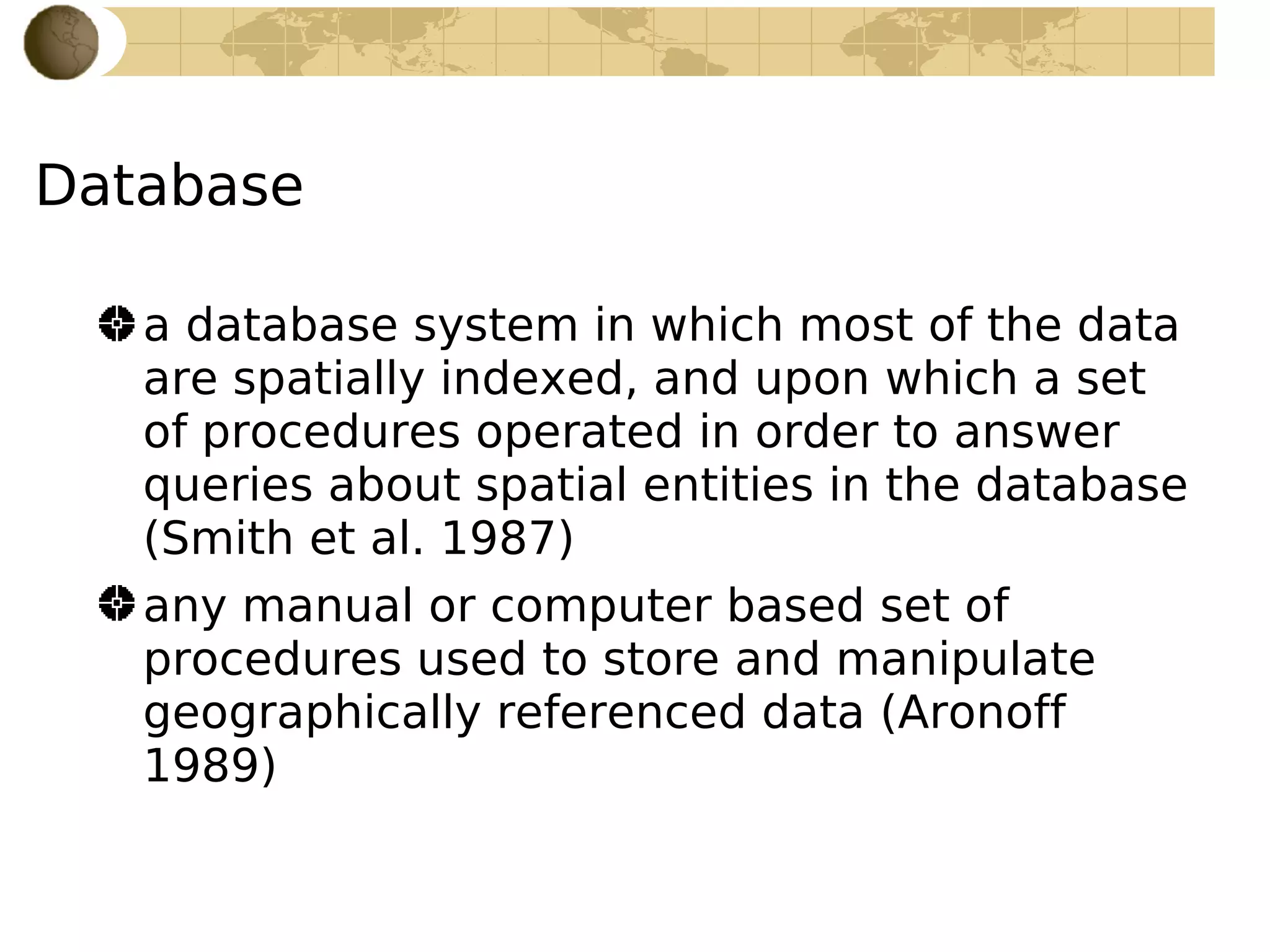
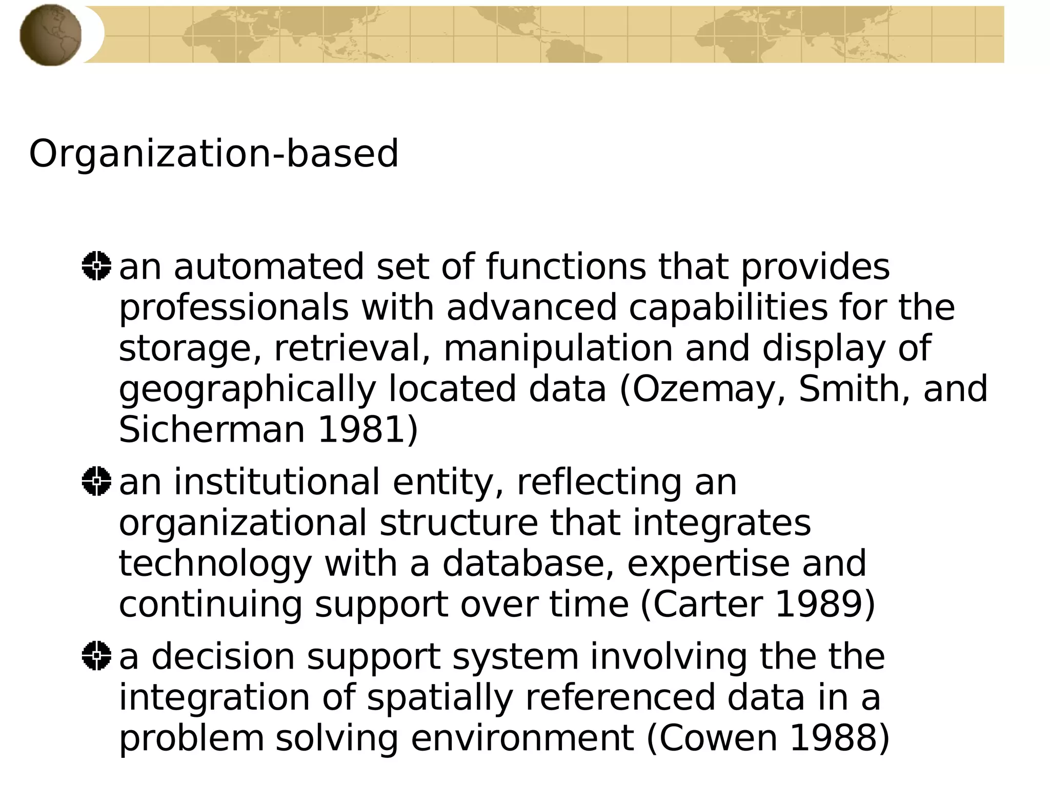
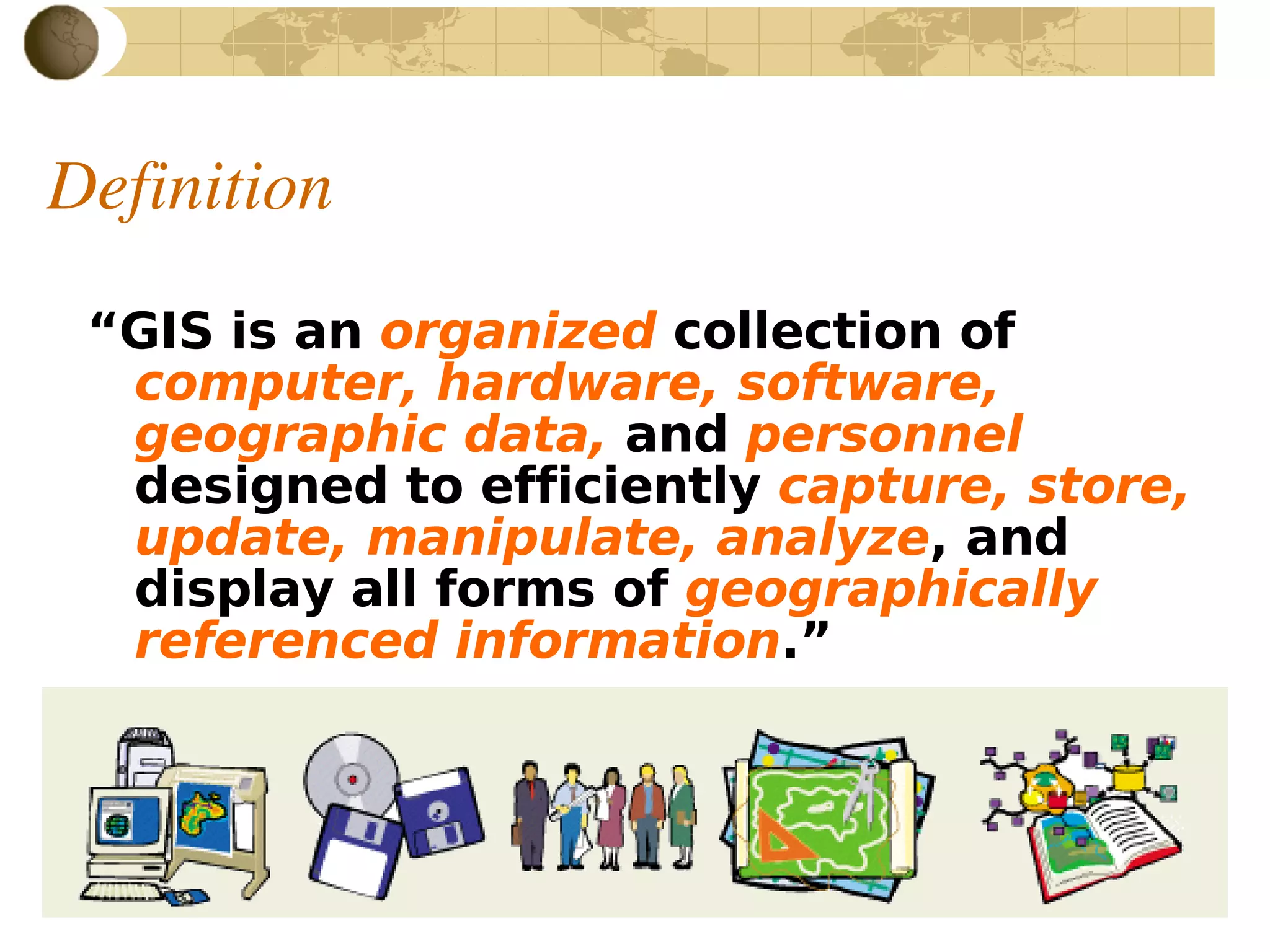
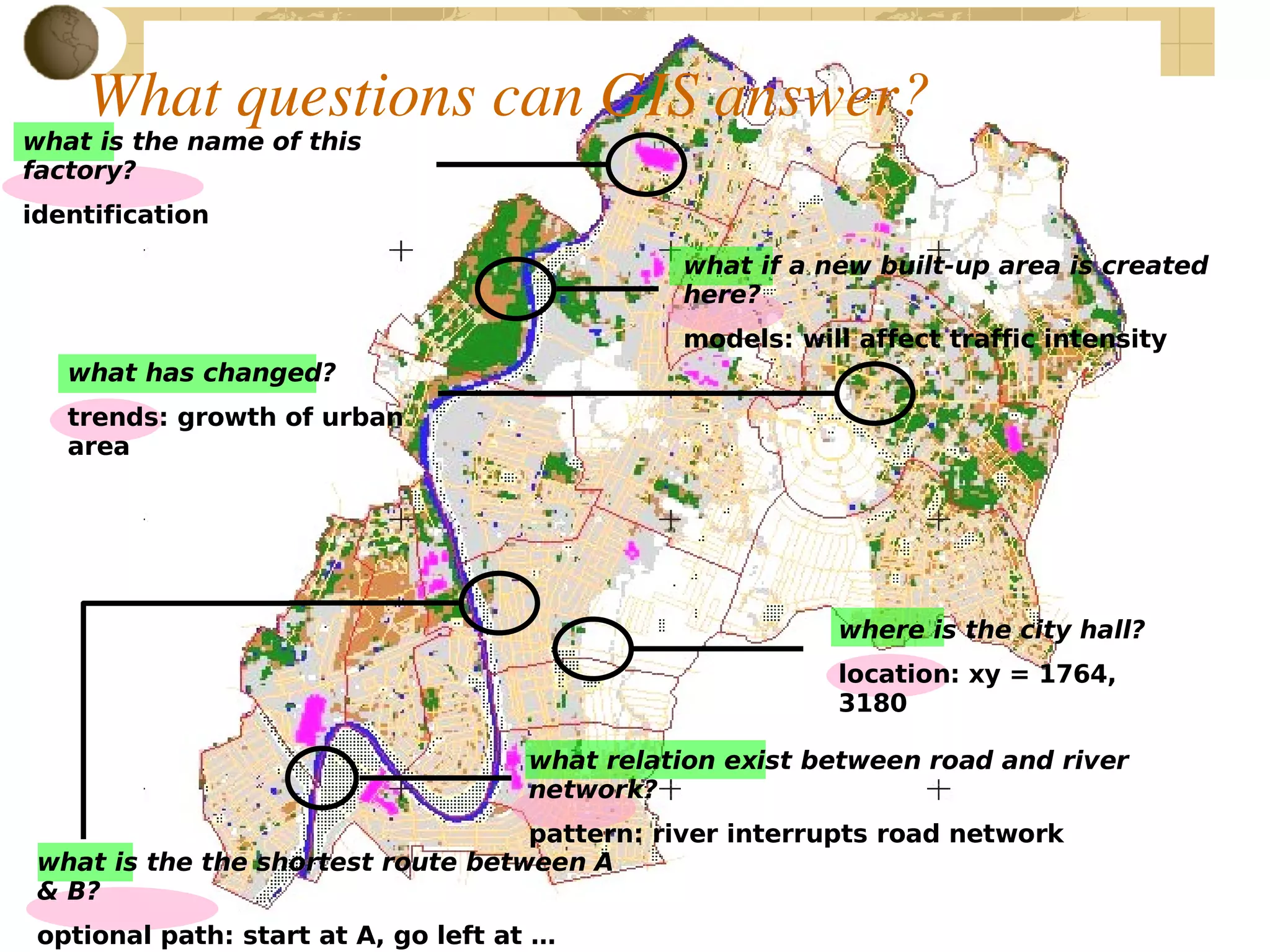
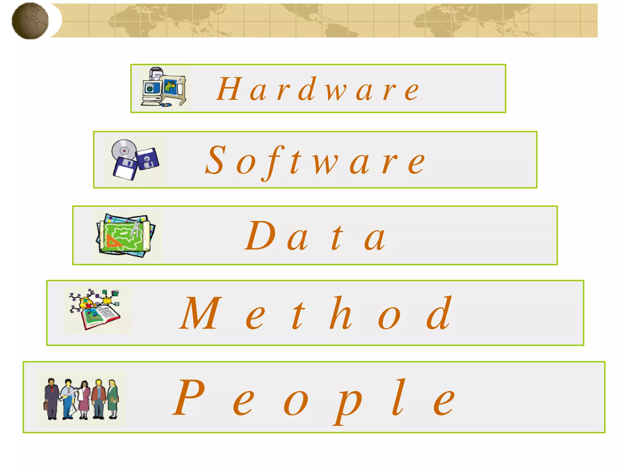
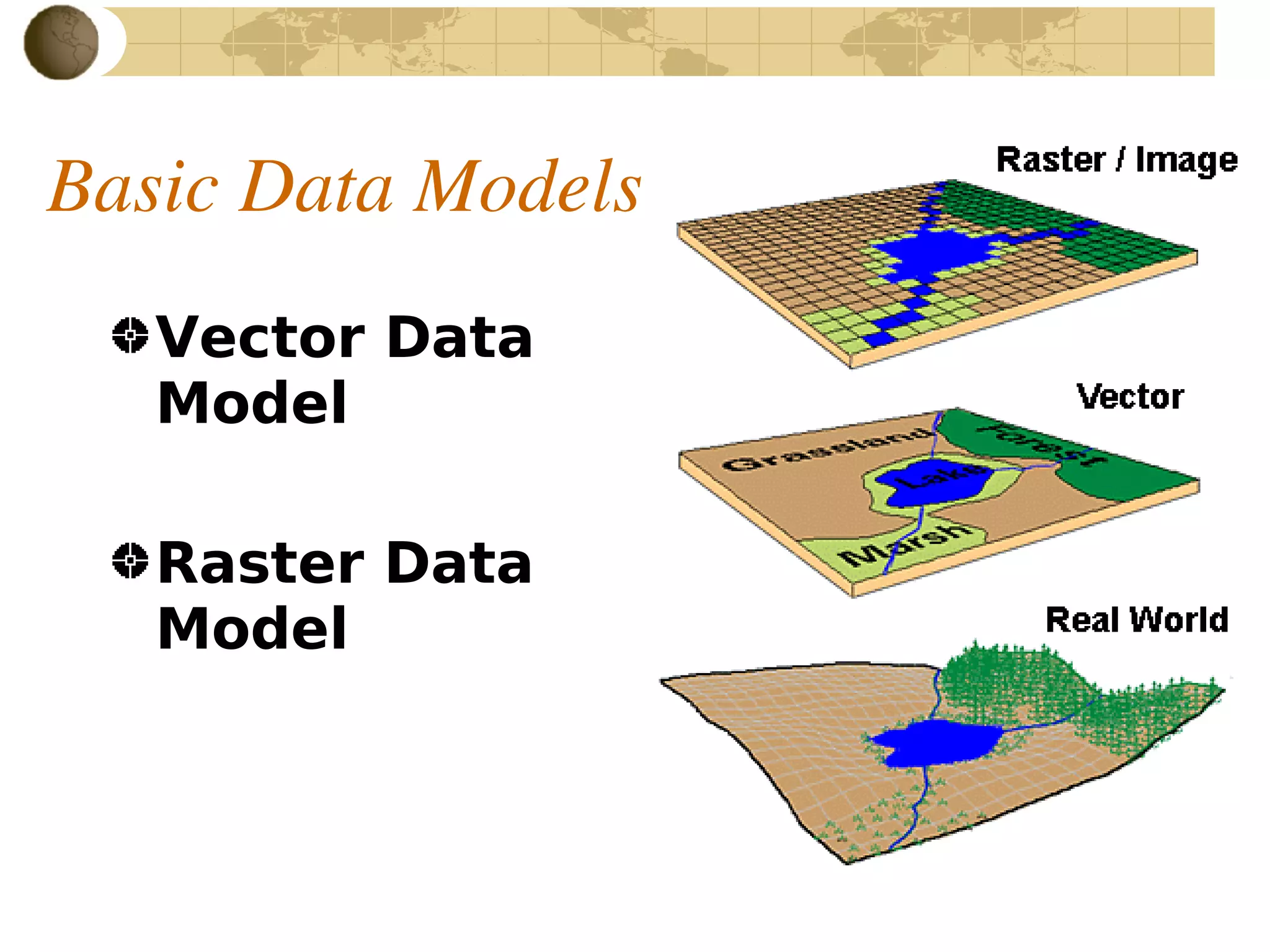
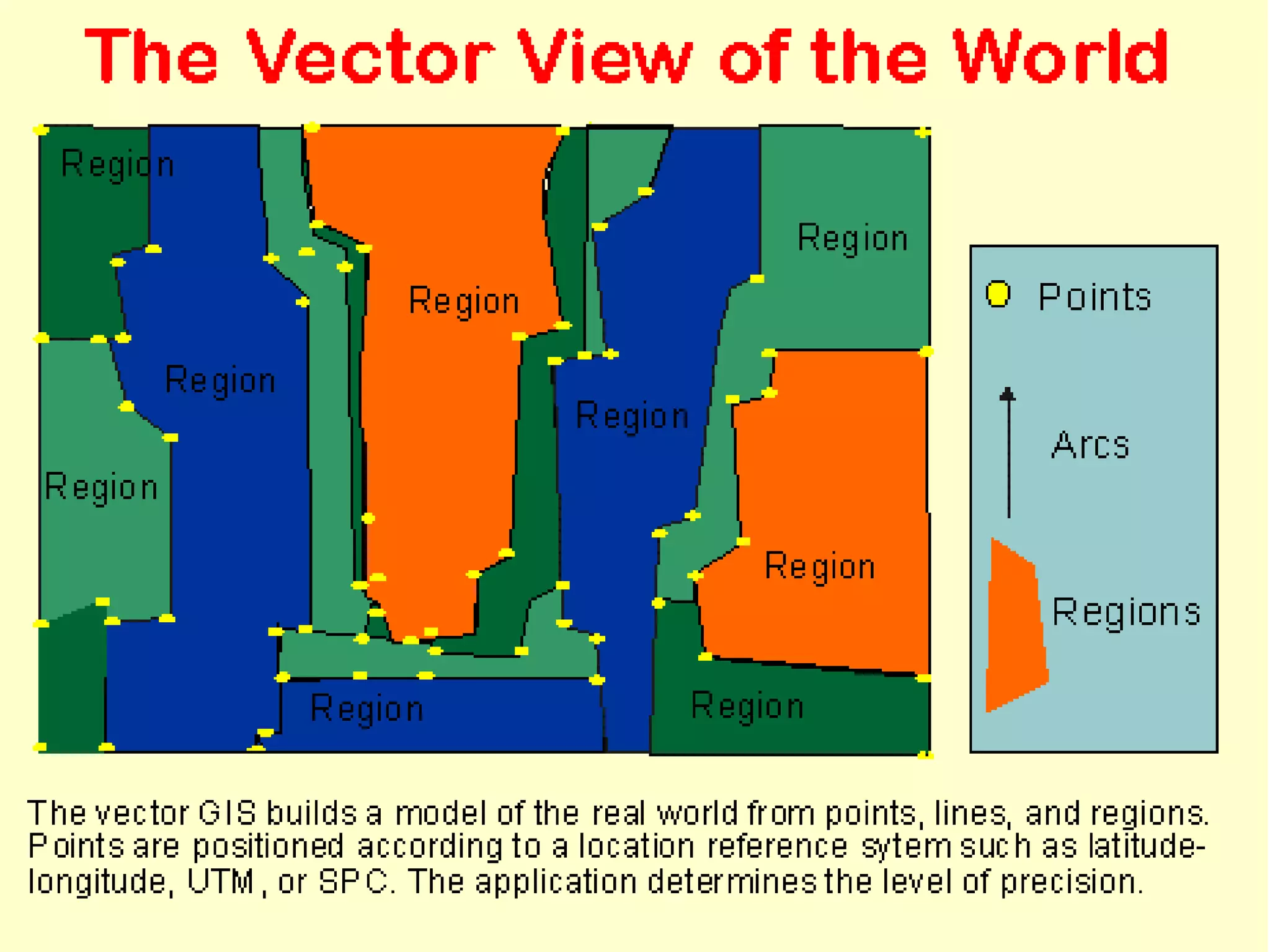


This document provides an overview of principles of geographic information systems (GIS). It defines GIS as a system for capturing, storing, analyzing and displaying spatially referenced data. The document discusses GIS hardware, software, data models and applications in various fields such as agriculture, environment, forestry and more. It also addresses common questions GIS can answer related to location, patterns, trends and more.
Introduces GIS concepts, principles, definitions, and the tools used for spatial data analysis.
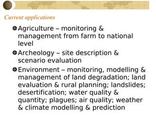
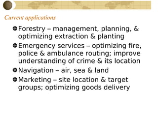
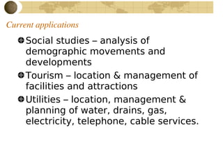
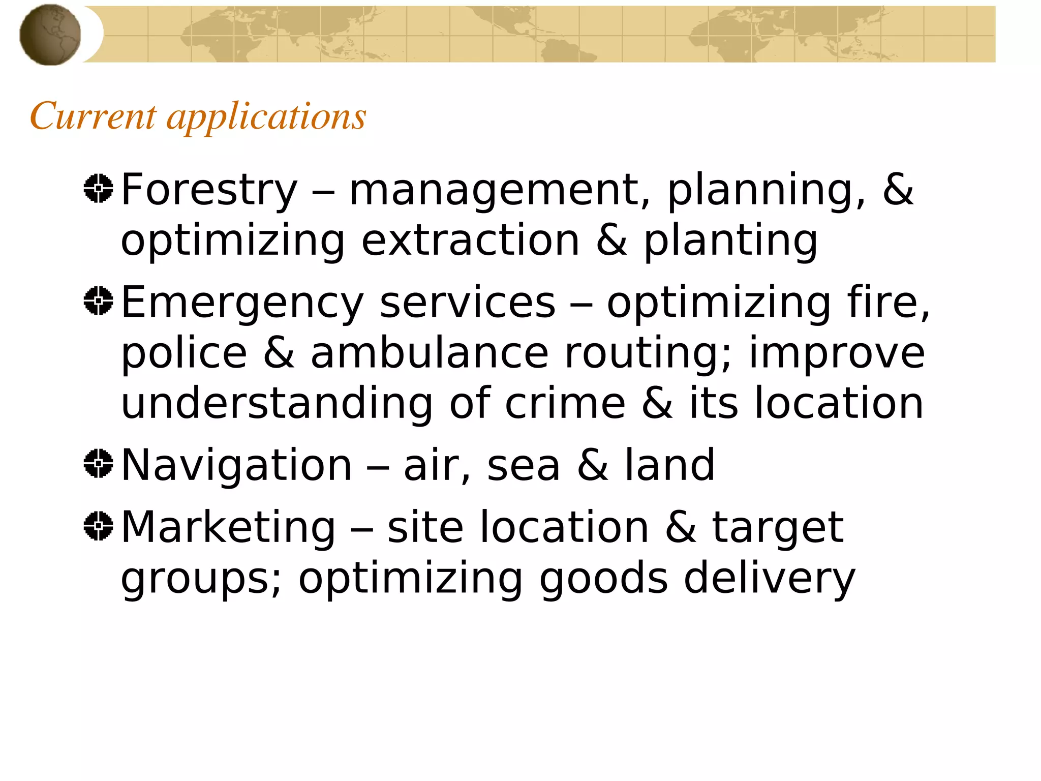
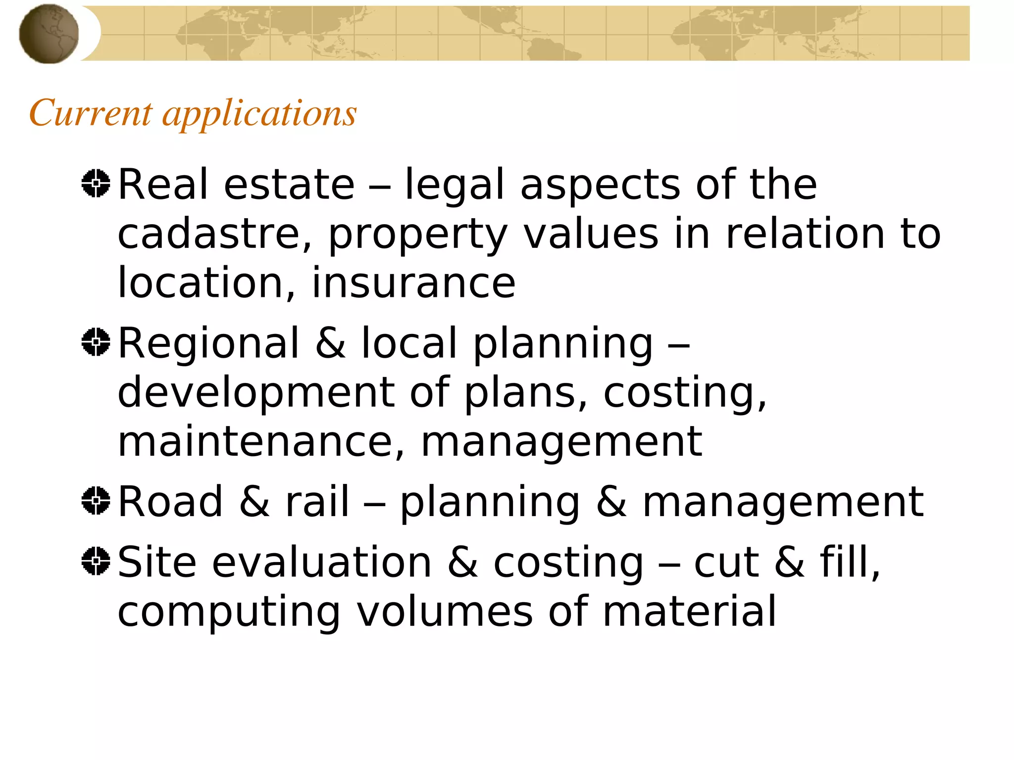
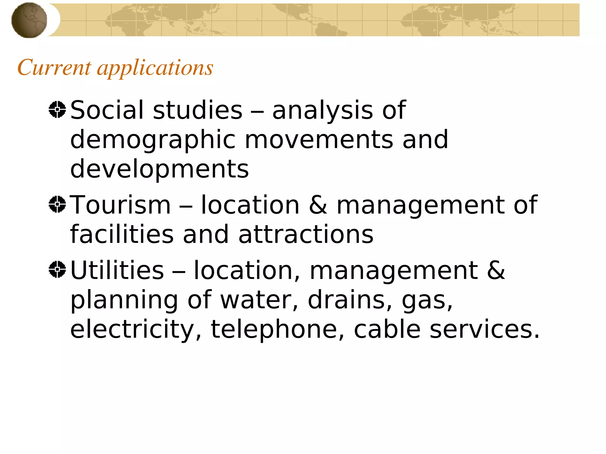
Discusses various current applications of GIS in agriculture, archeology, environment, forestry, and more.
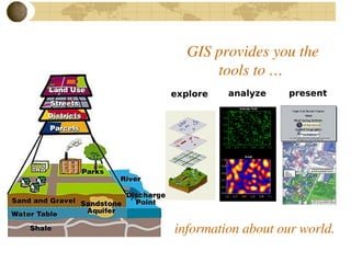
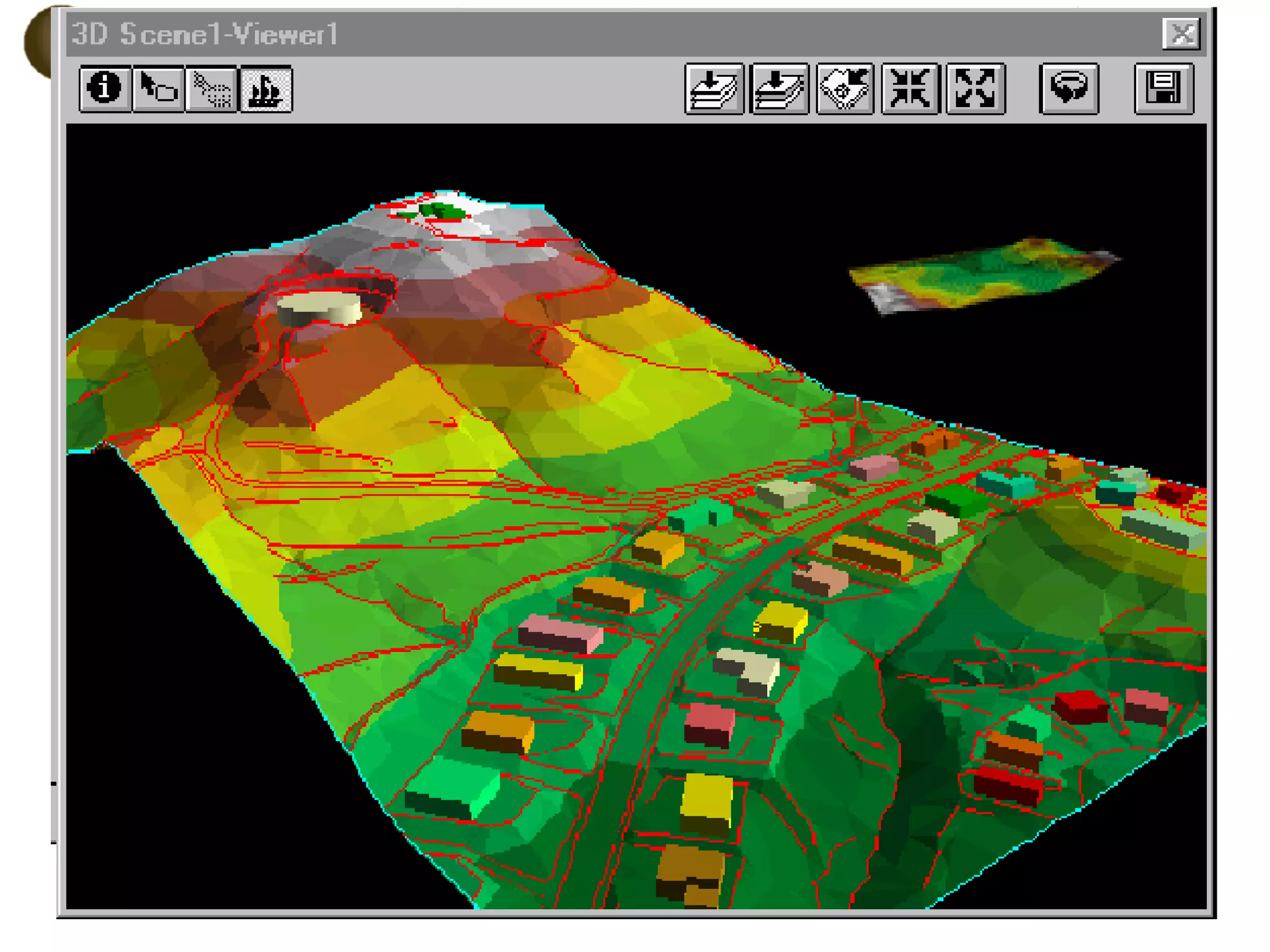
Highlights the tools GIS provides for presenting and analyzing spatial information.
Lists references and outlines licensing terms for use and distribution of GIS content.


