Download to read offline

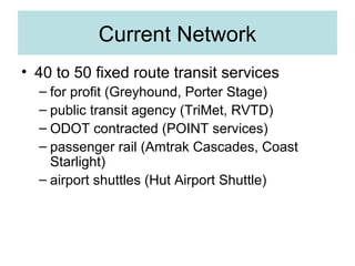
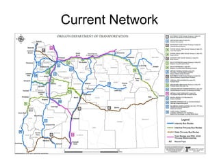

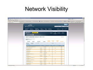
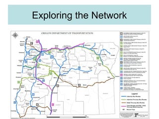
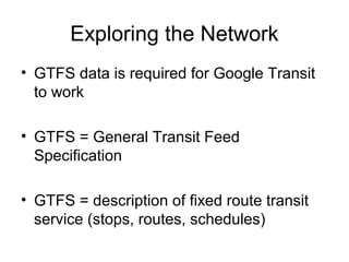

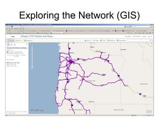
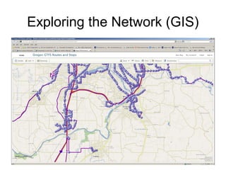
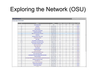
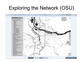
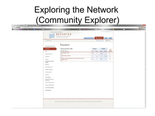

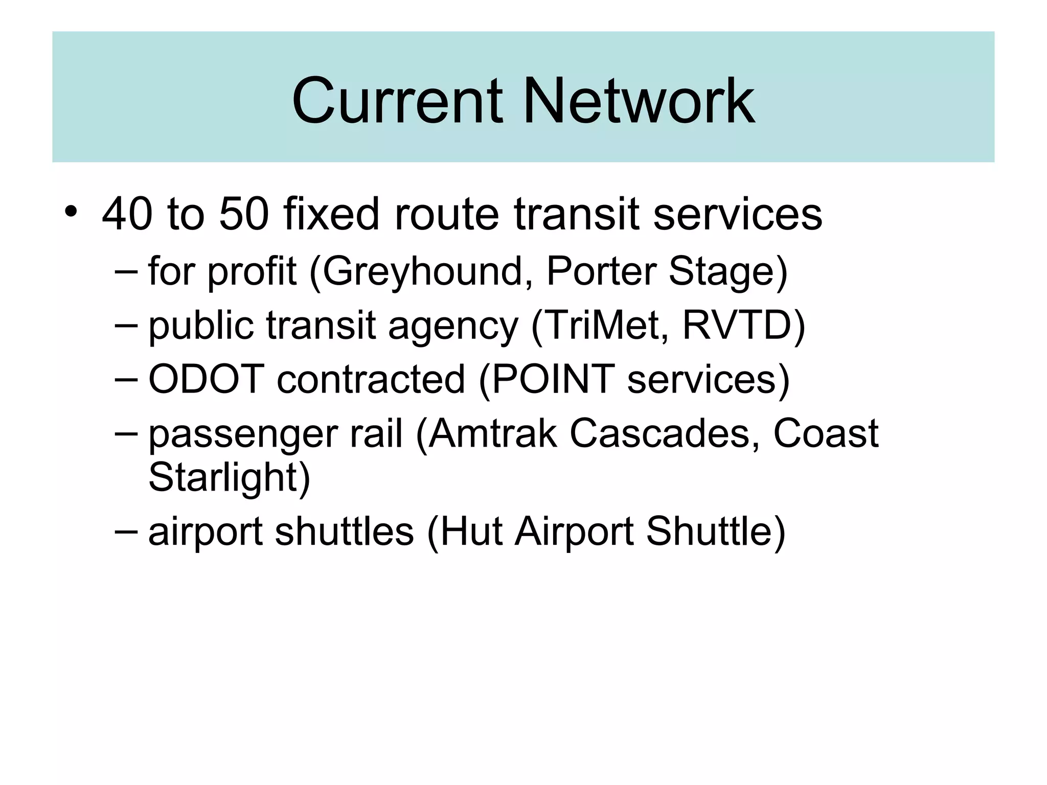

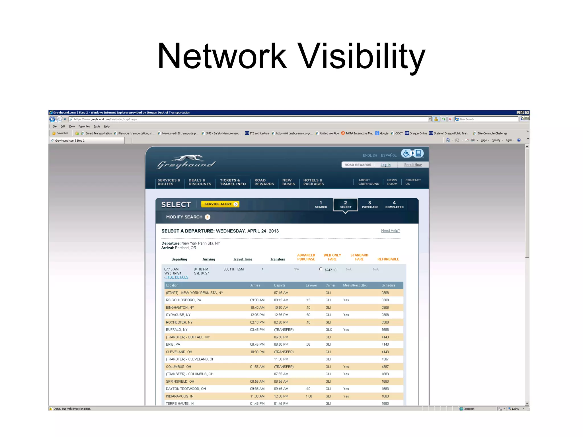

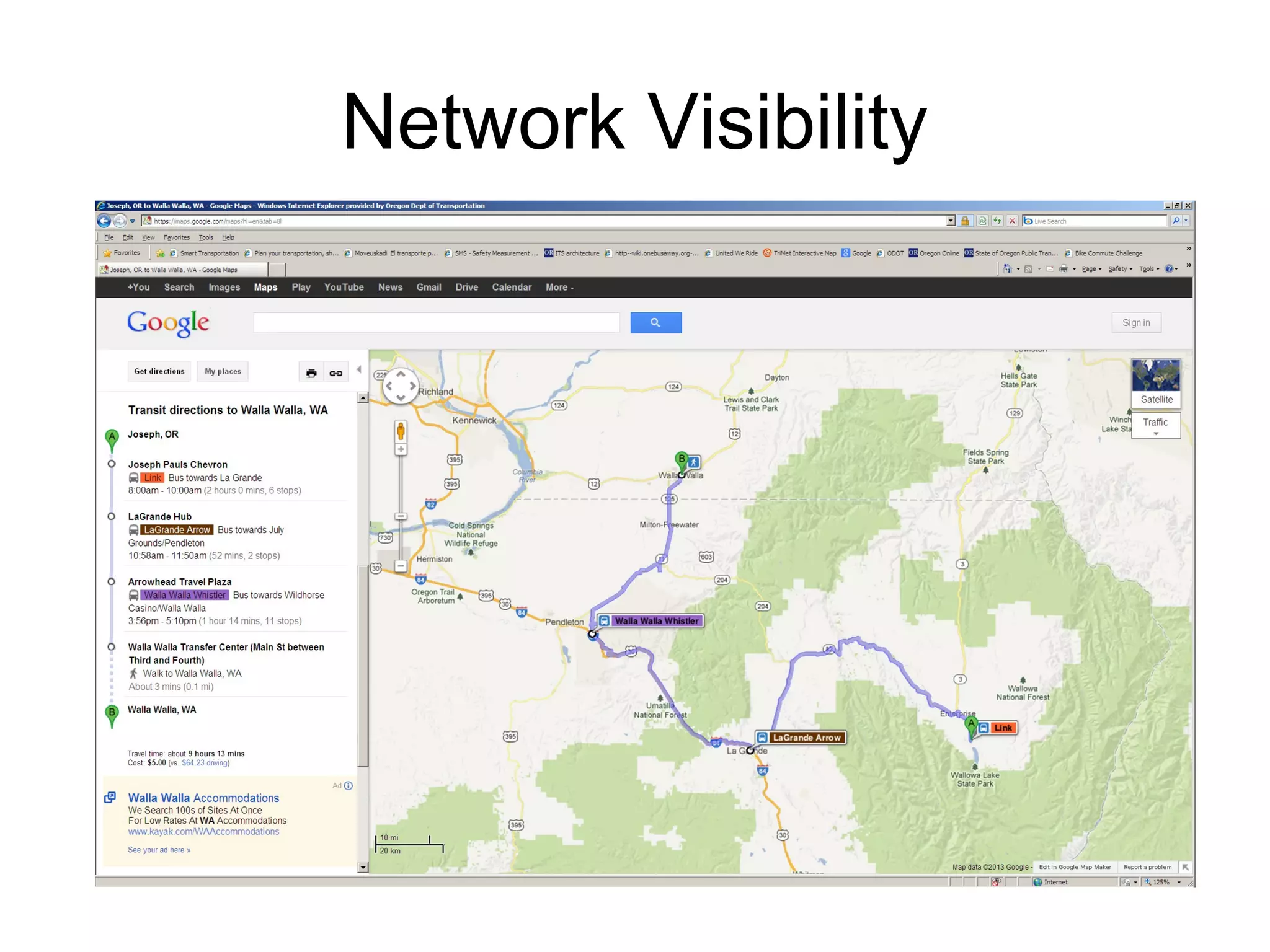
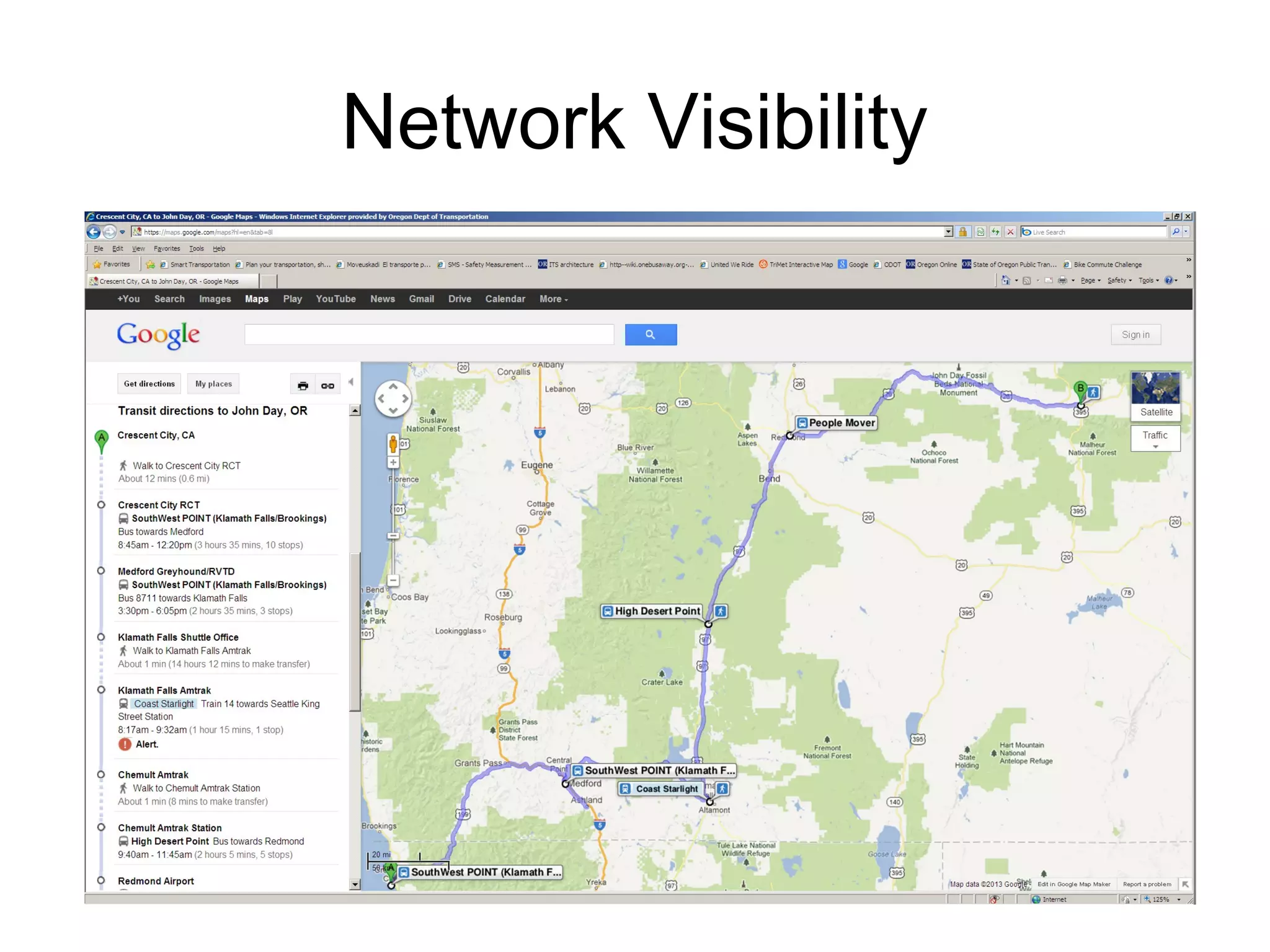
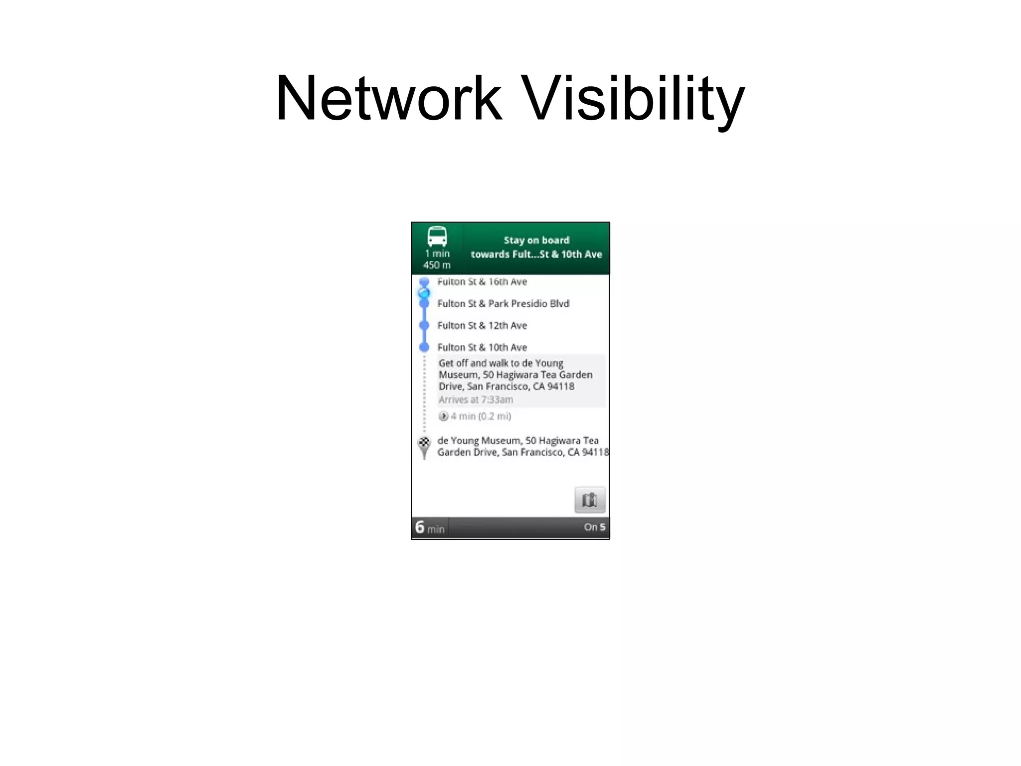

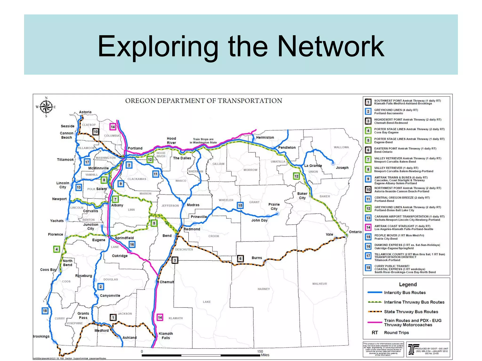
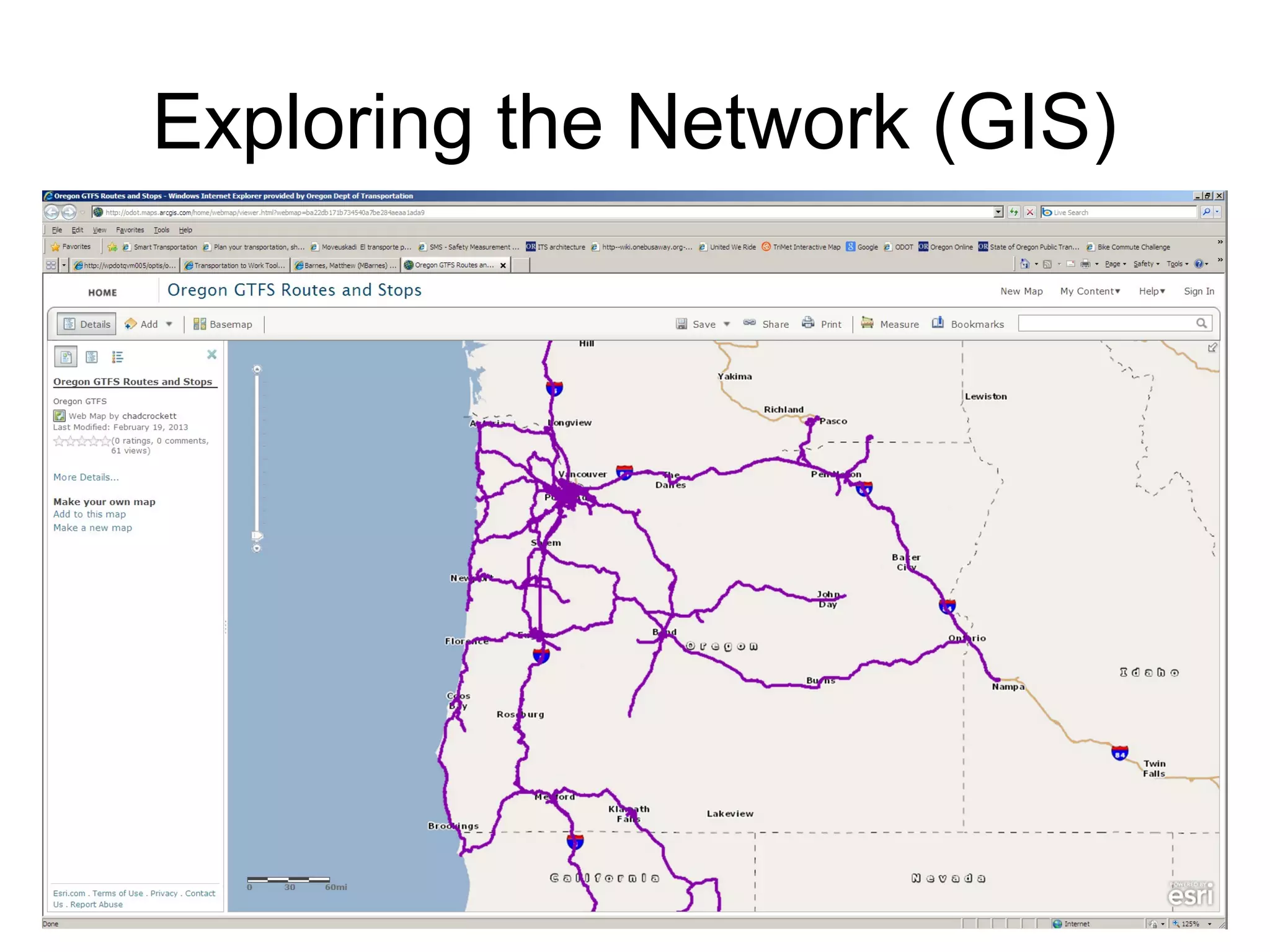
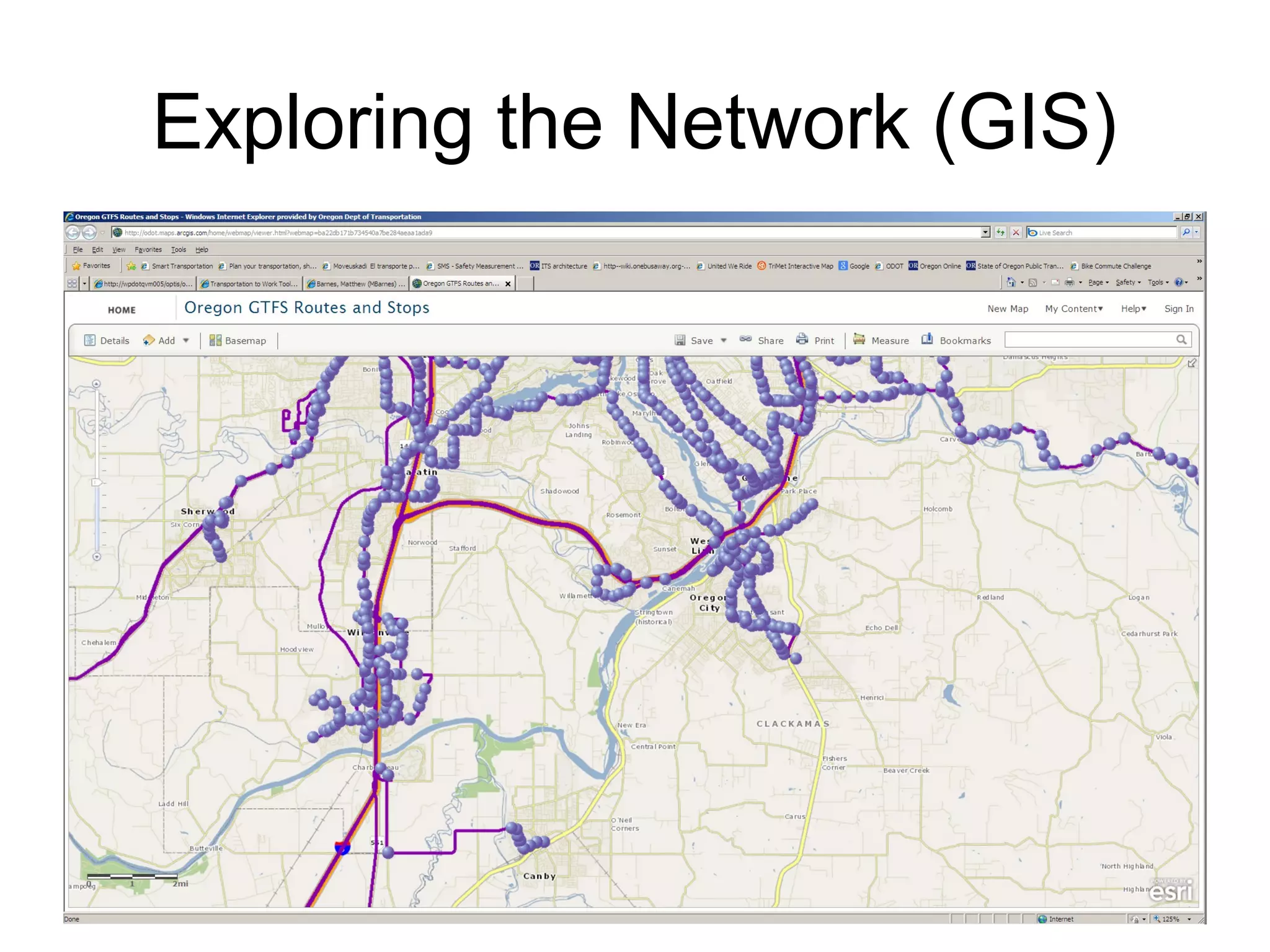
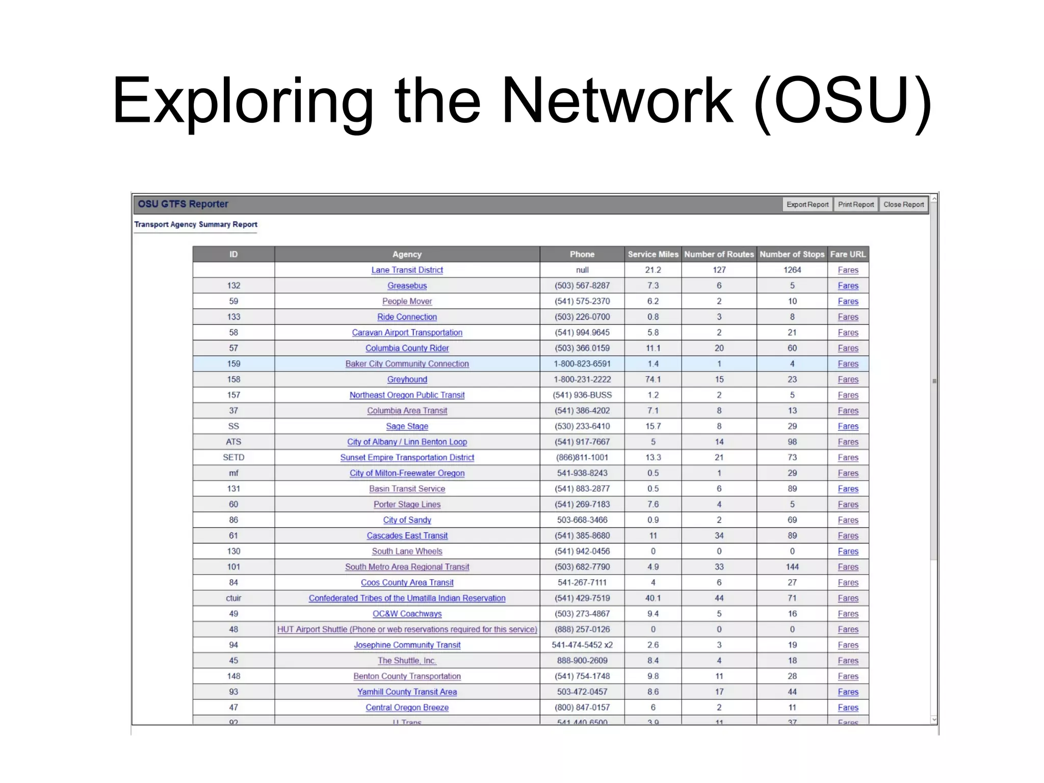
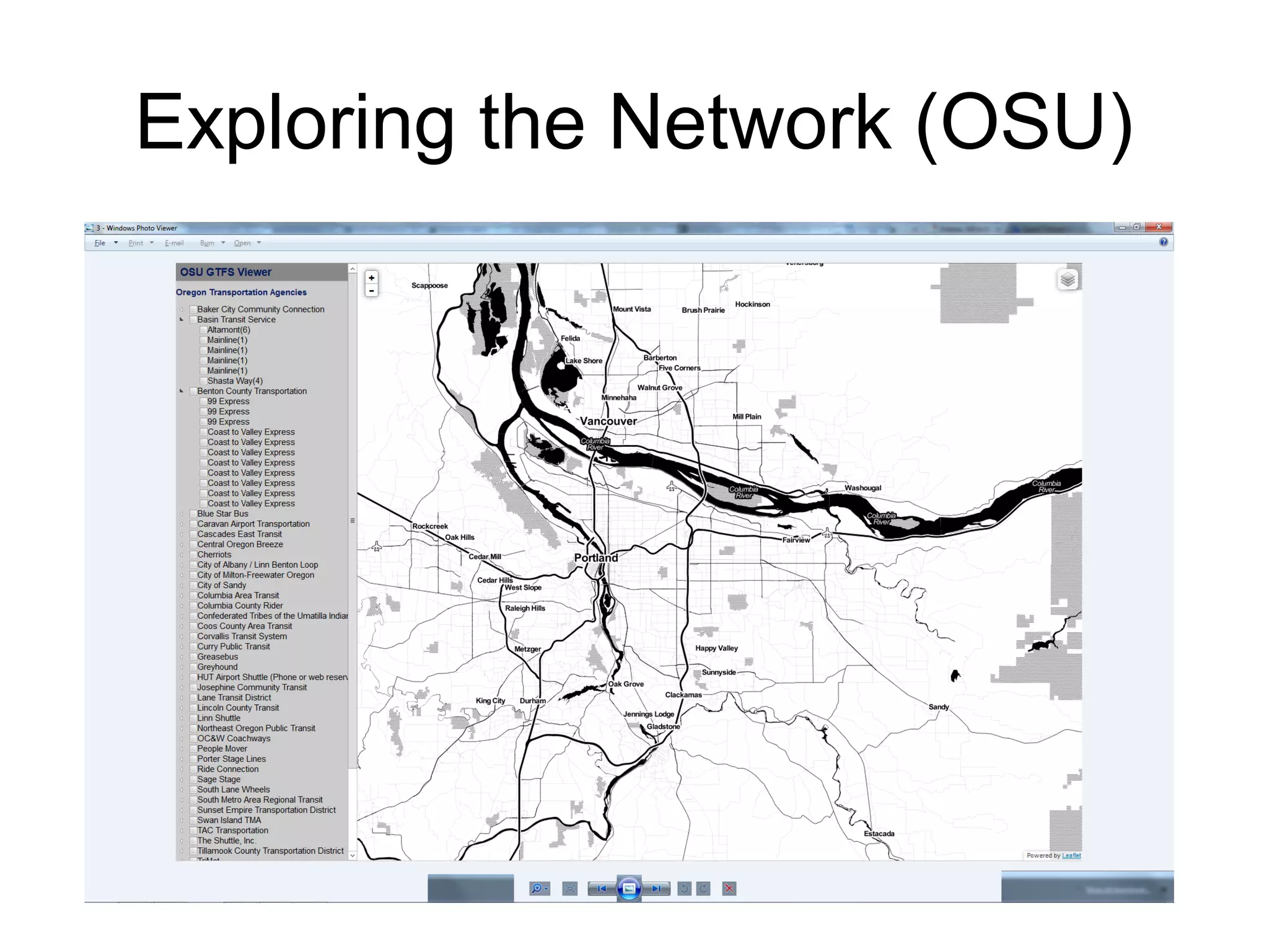


This document discusses Oregon's statewide fixed route transit network and recent efforts to improve its visibility. It notes that the network includes over 40 transit services operated by various public and private entities. Recent steps to improve network visibility include inclusion in services like Google Transit, development of real-time arrival information, and multimodal trip planning. The document advocates leveraging open transit data (GTFS) to further map and analyze the network using tools like transit stop mapping and modeling. This could help coordinate infrastructure investments and encourage consideration of transit in other planning areas.


