Download to read offline


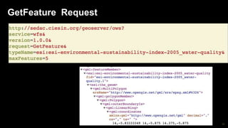


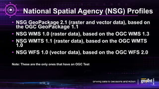
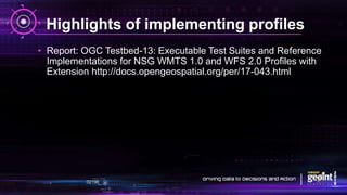


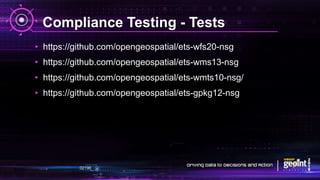


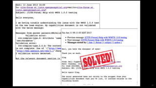
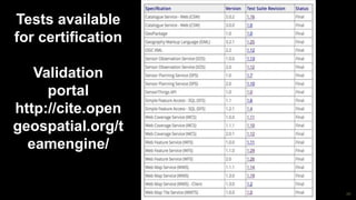


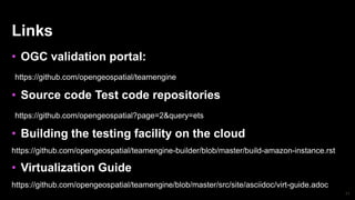


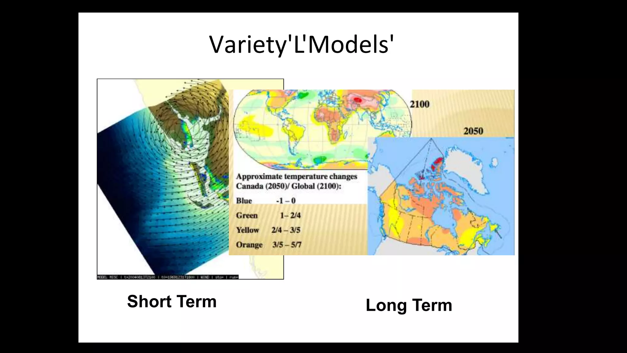


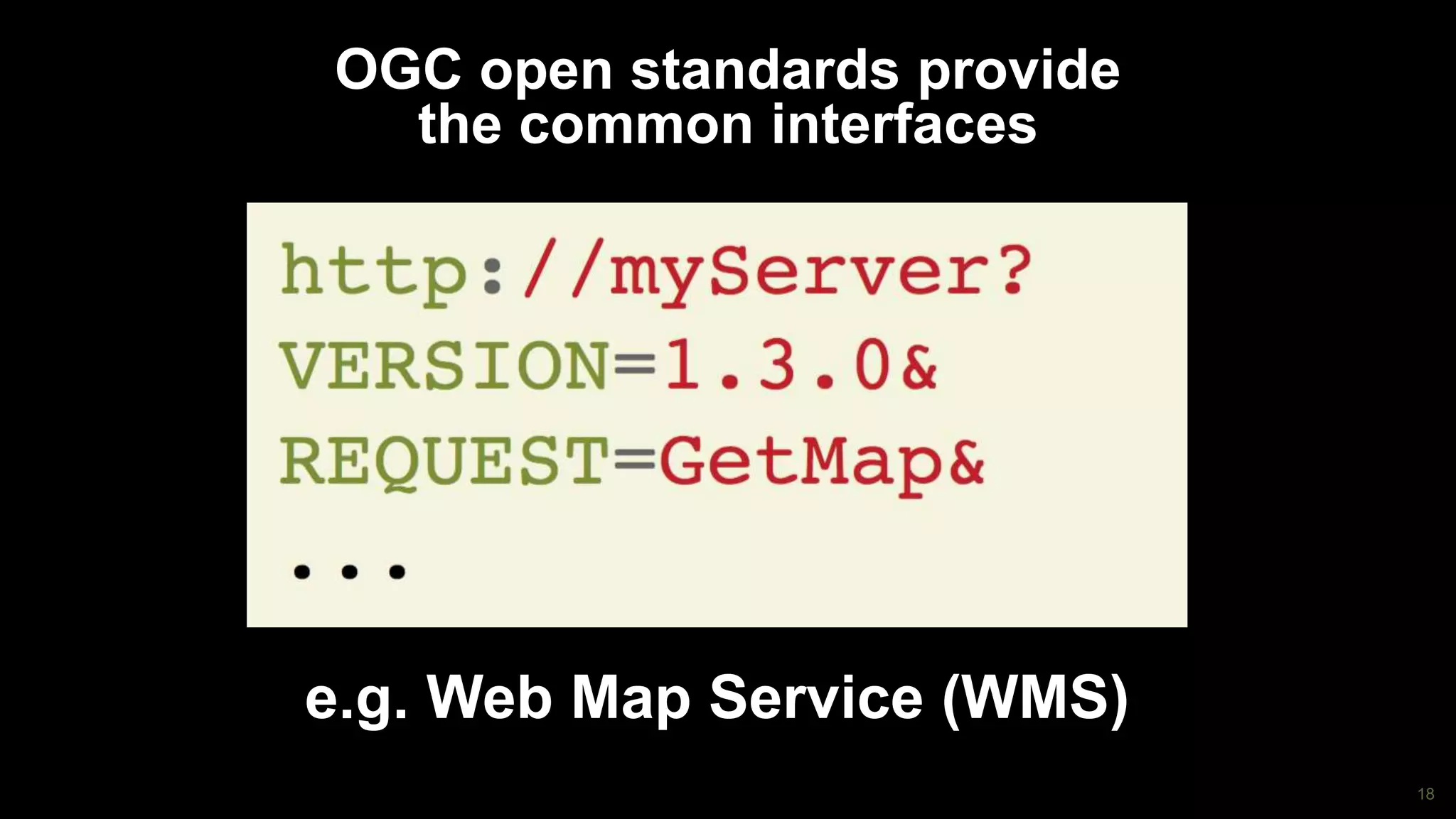


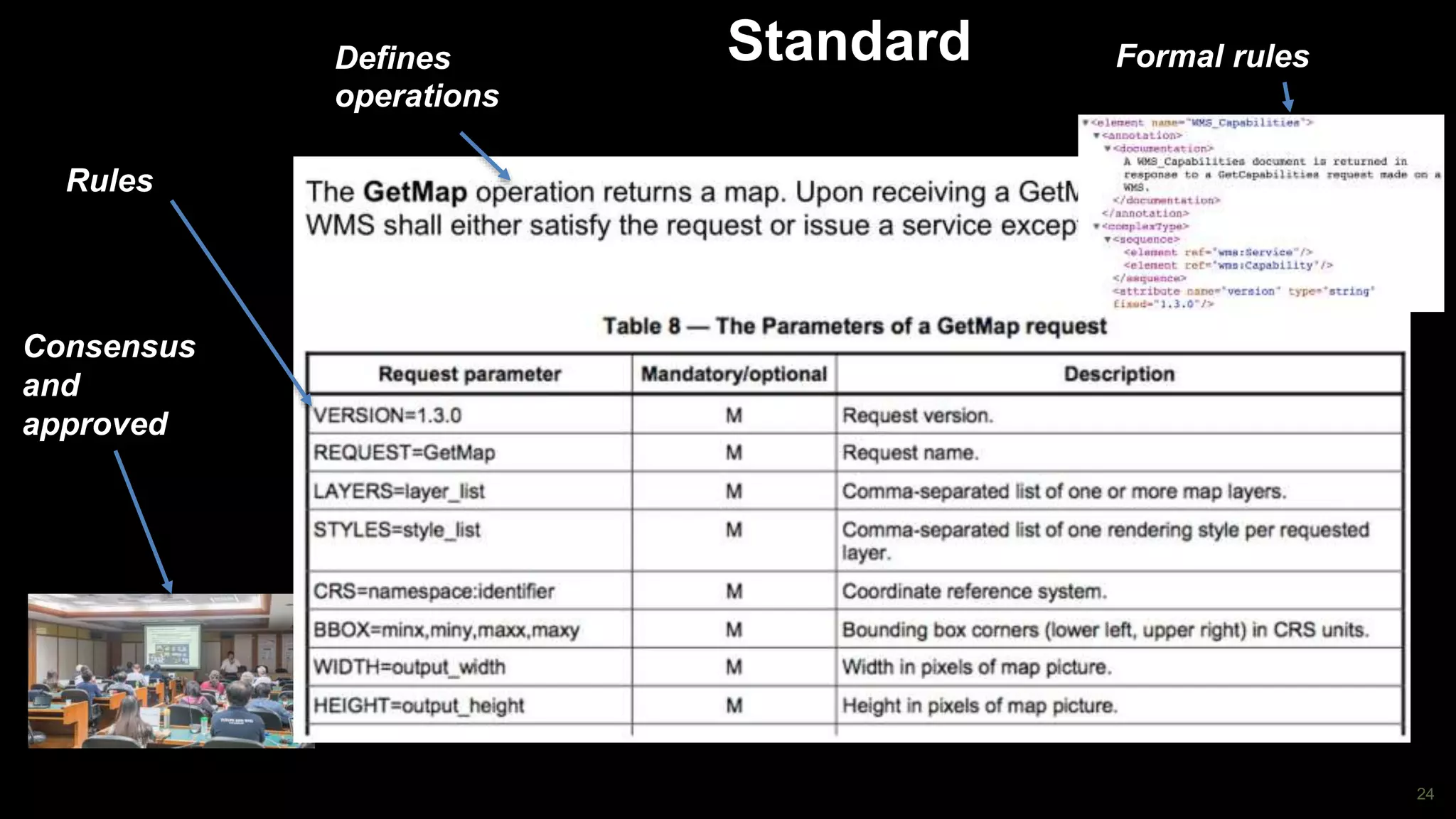


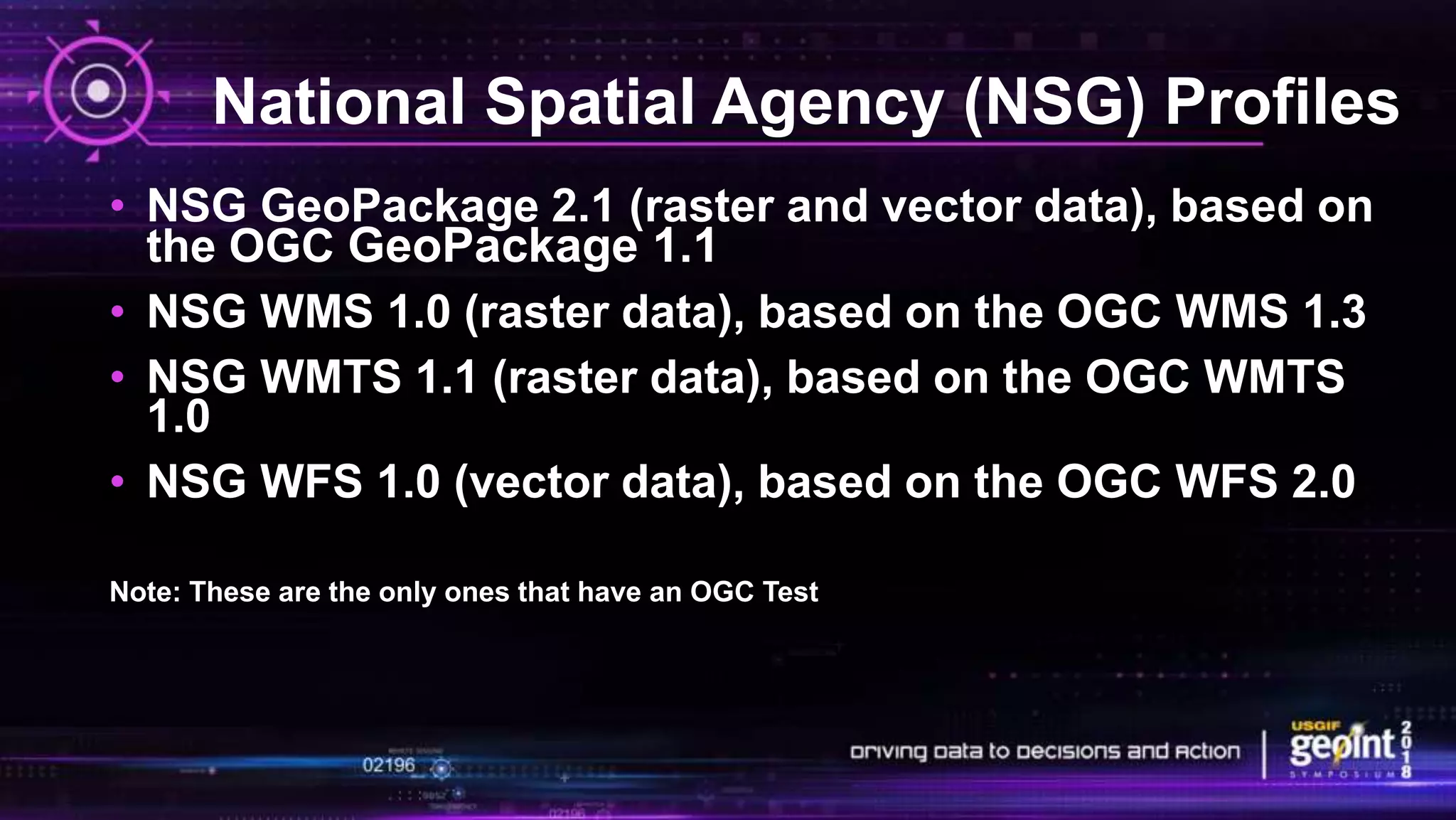
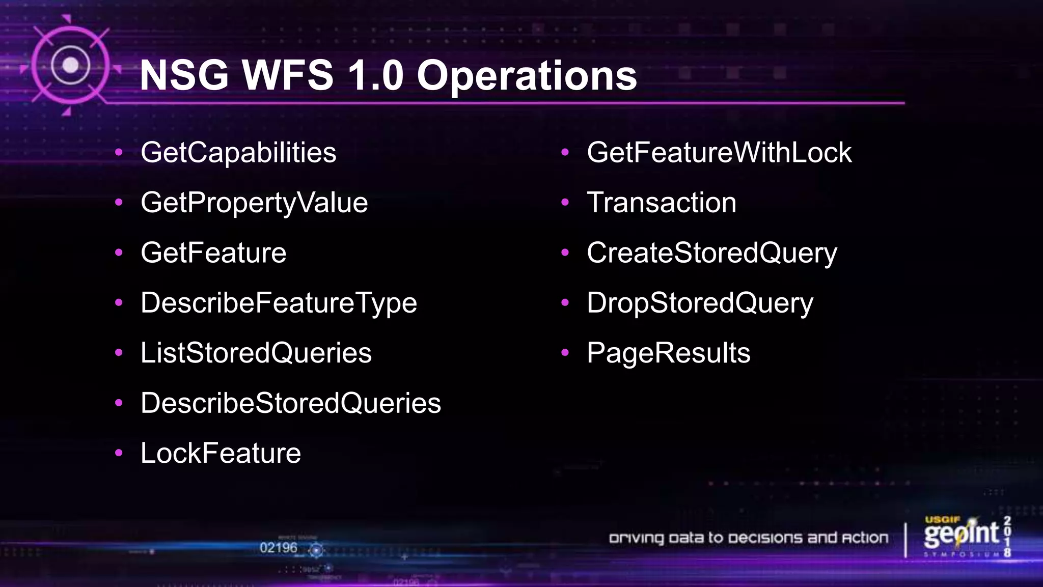
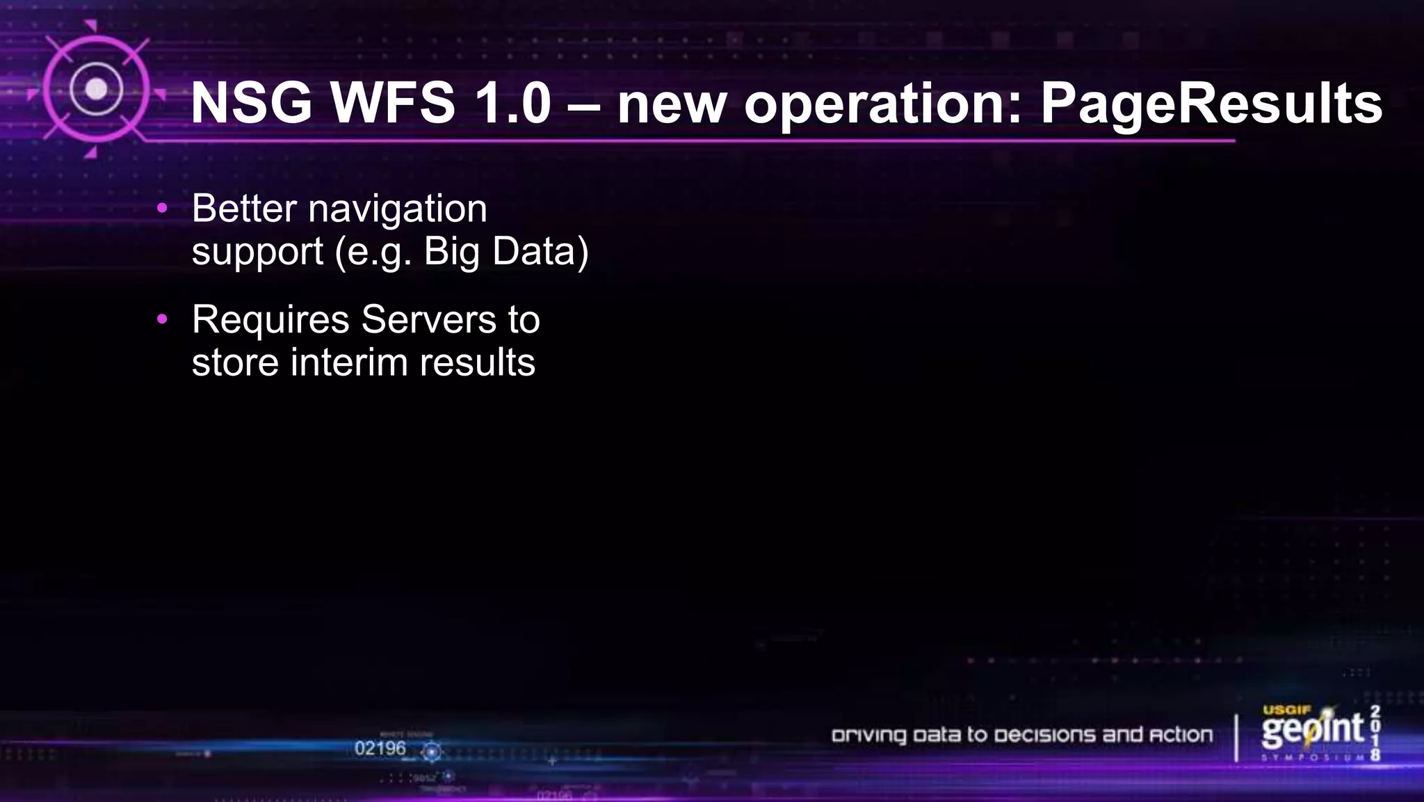

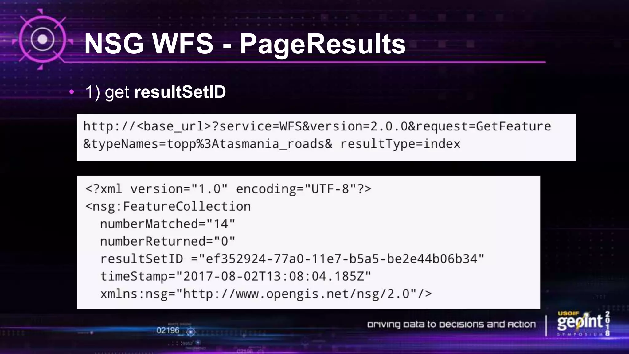

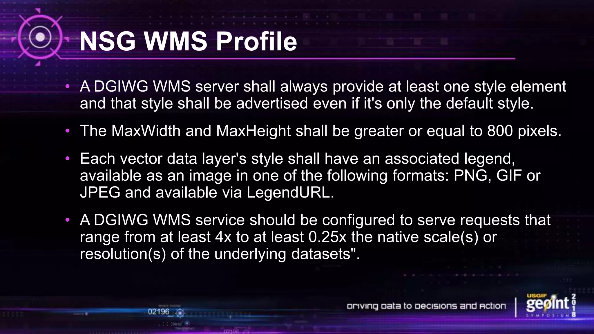
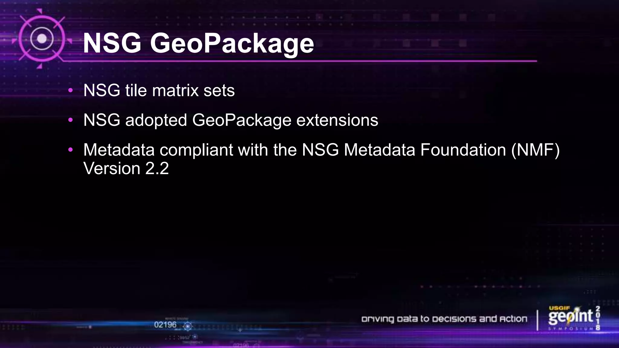
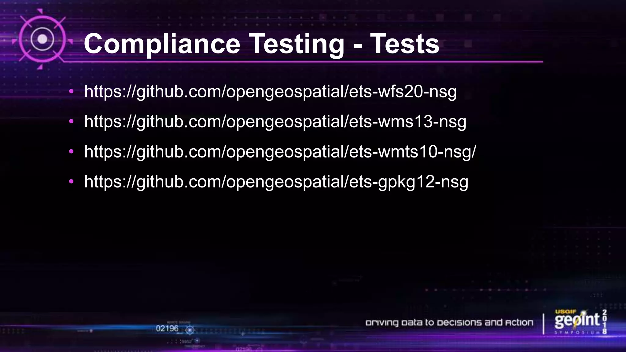
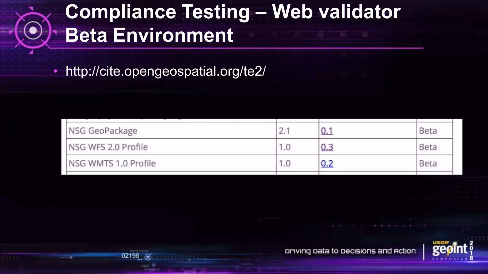


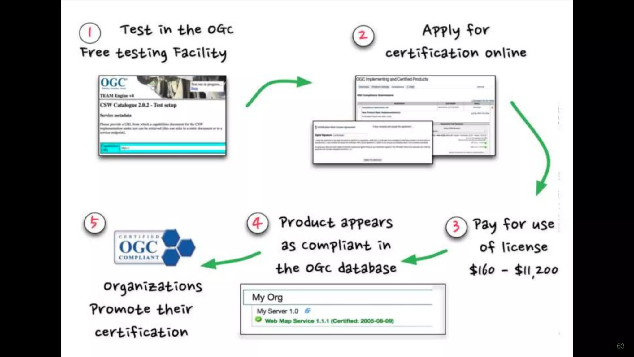


This document provides an overview of setting up and testing National System for Geospatial Intelligence (NSG) and DGIWG profiles based on Open Geospatial Consortium (OGC) standards. It discusses NSG profiles for GeoPackage, WMS, WMTS and WFS standards and highlights from implementing compliance tests. It also describes the OGC validation tools and process for certifying compliance with OGC standards.


