Download as PDF, PPTX

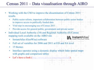
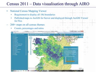
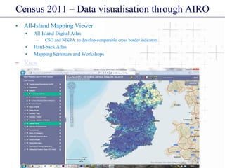
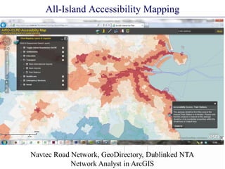
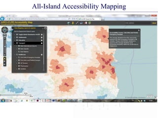
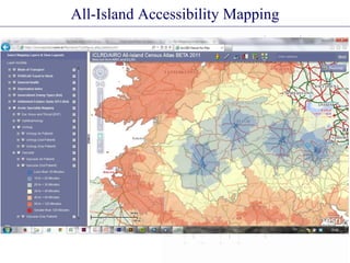

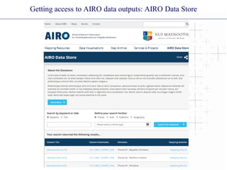
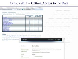
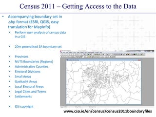


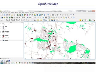


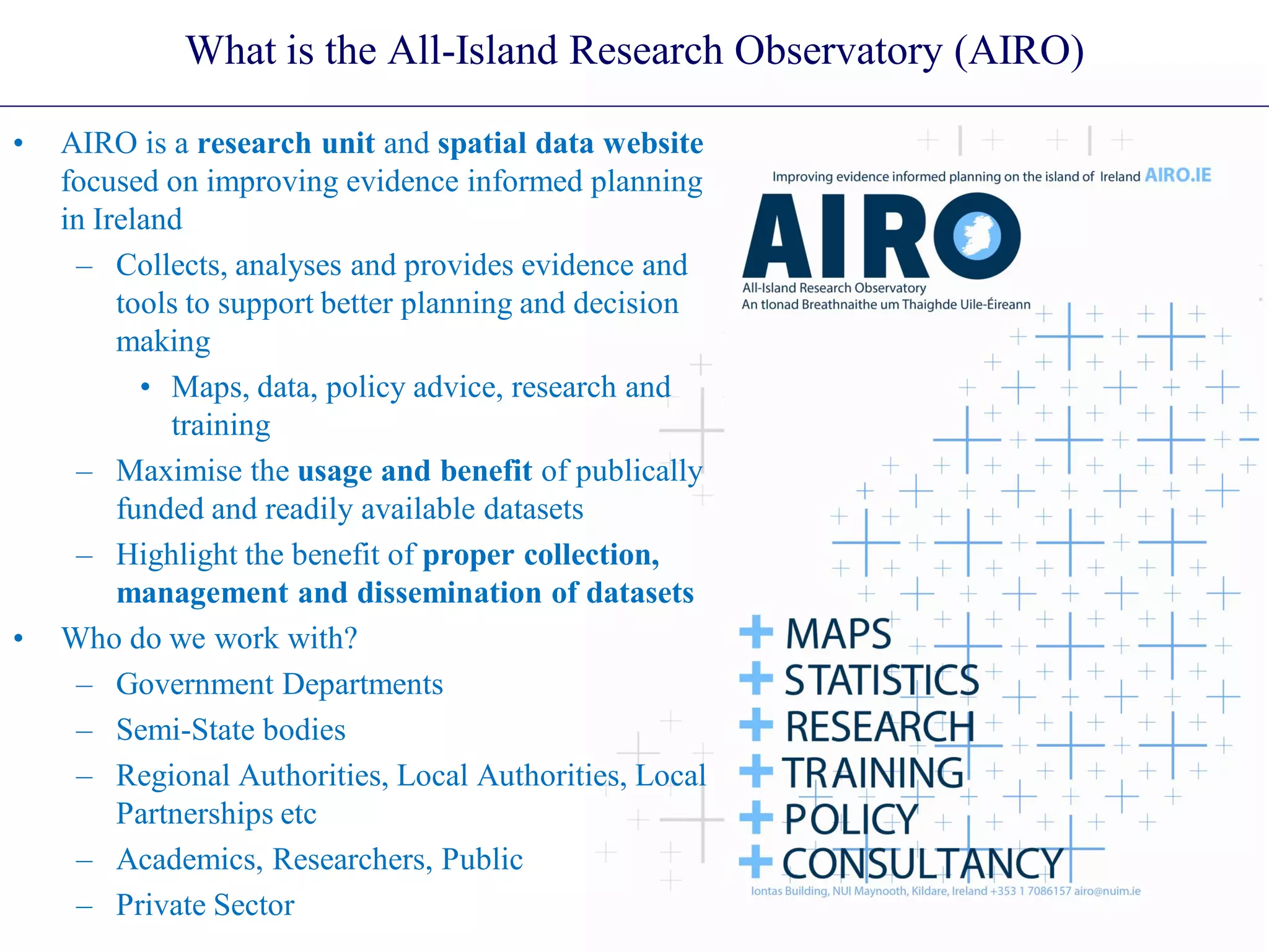
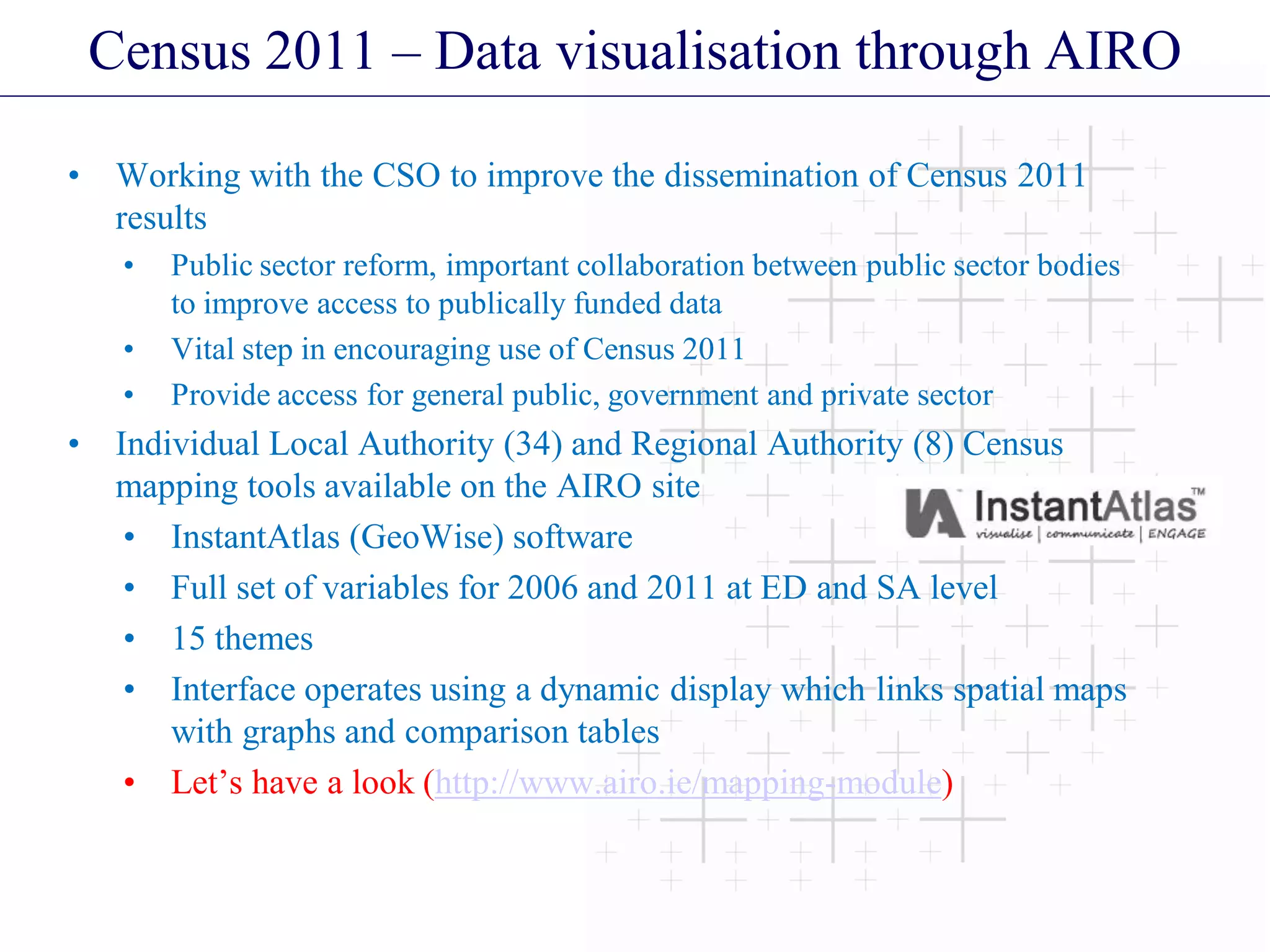
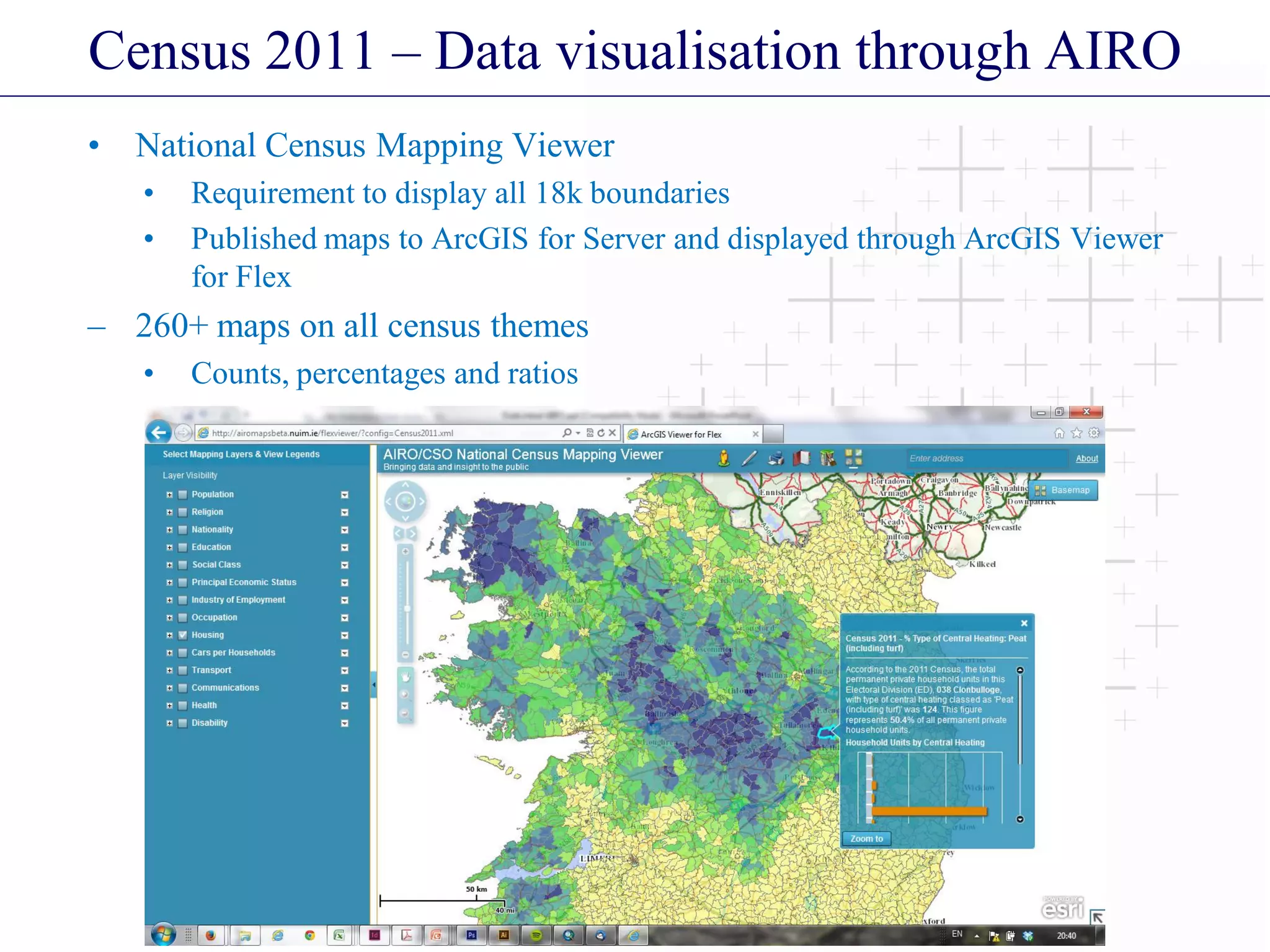
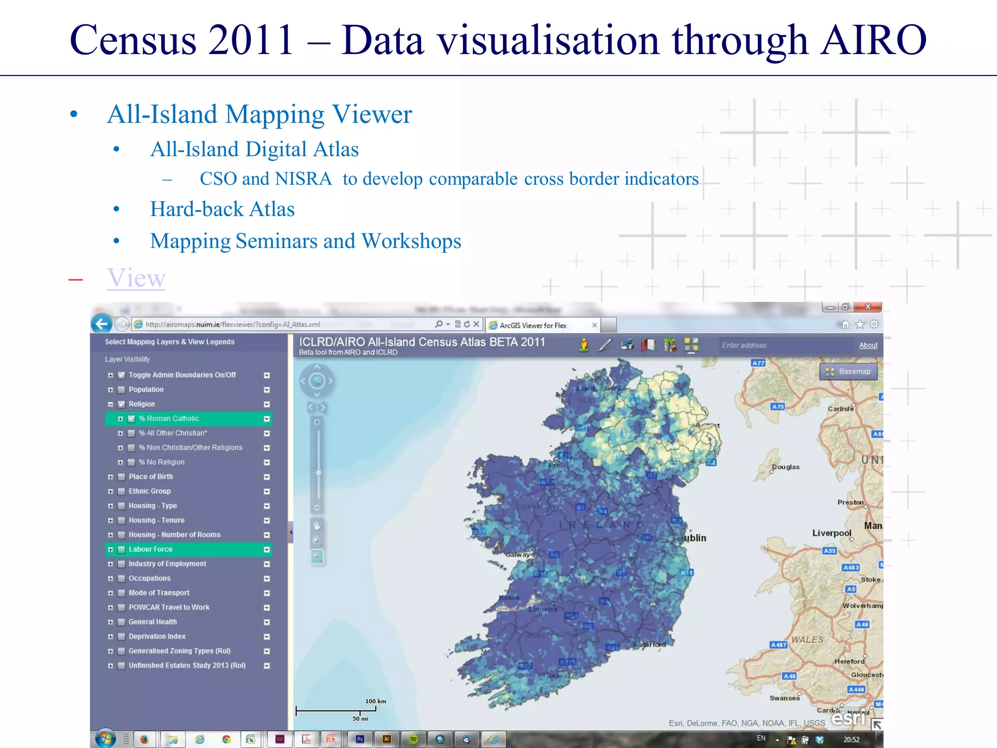

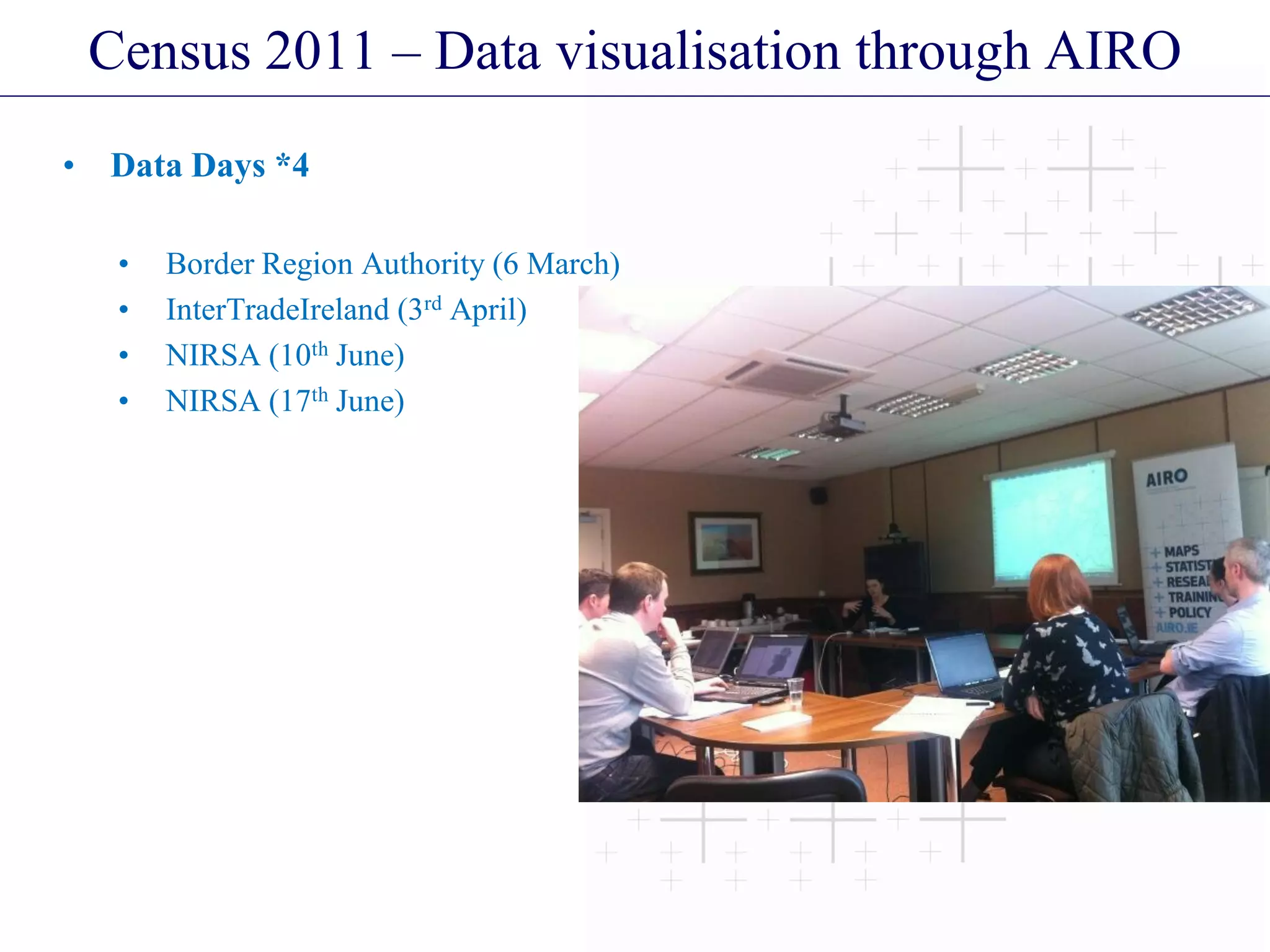
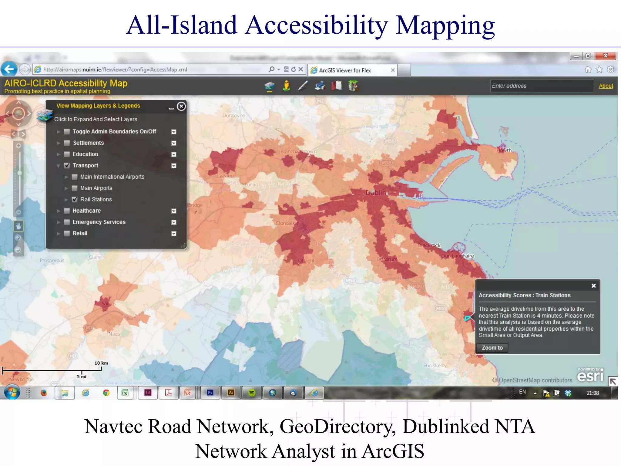
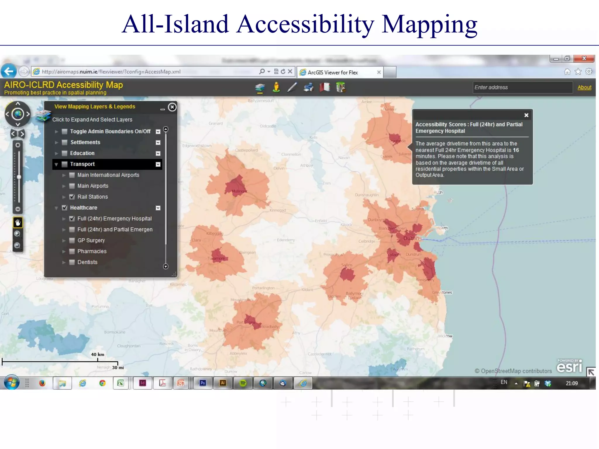
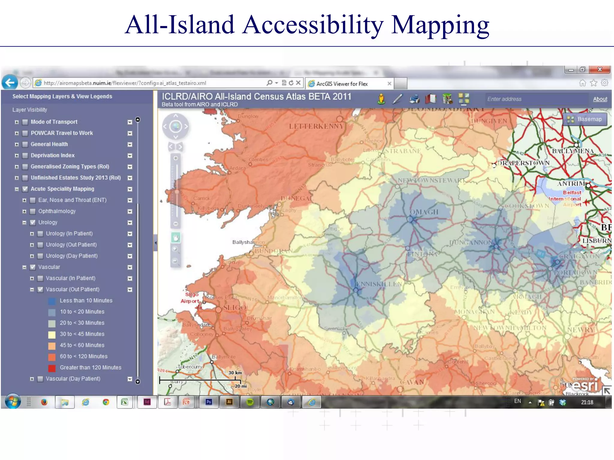
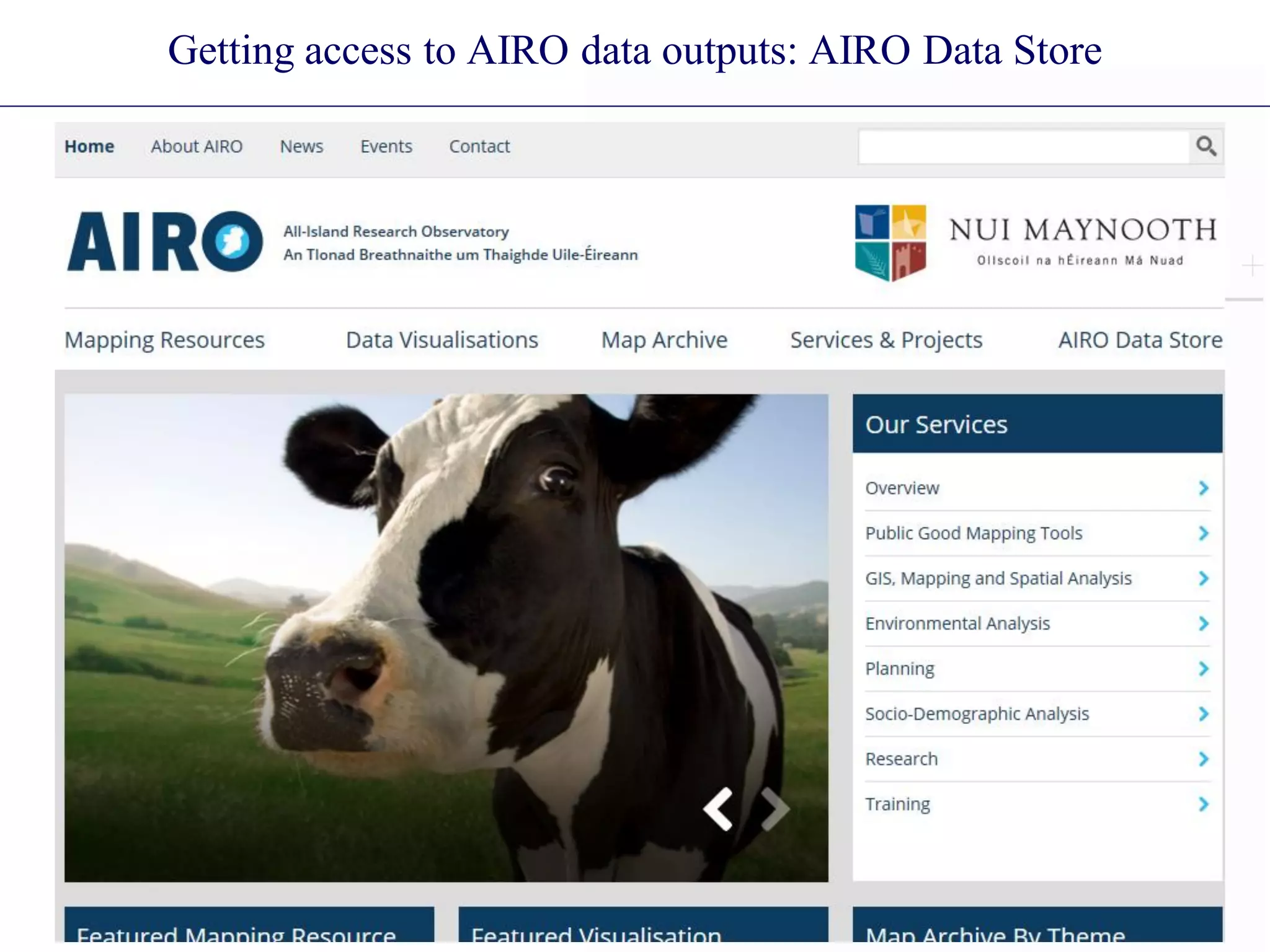
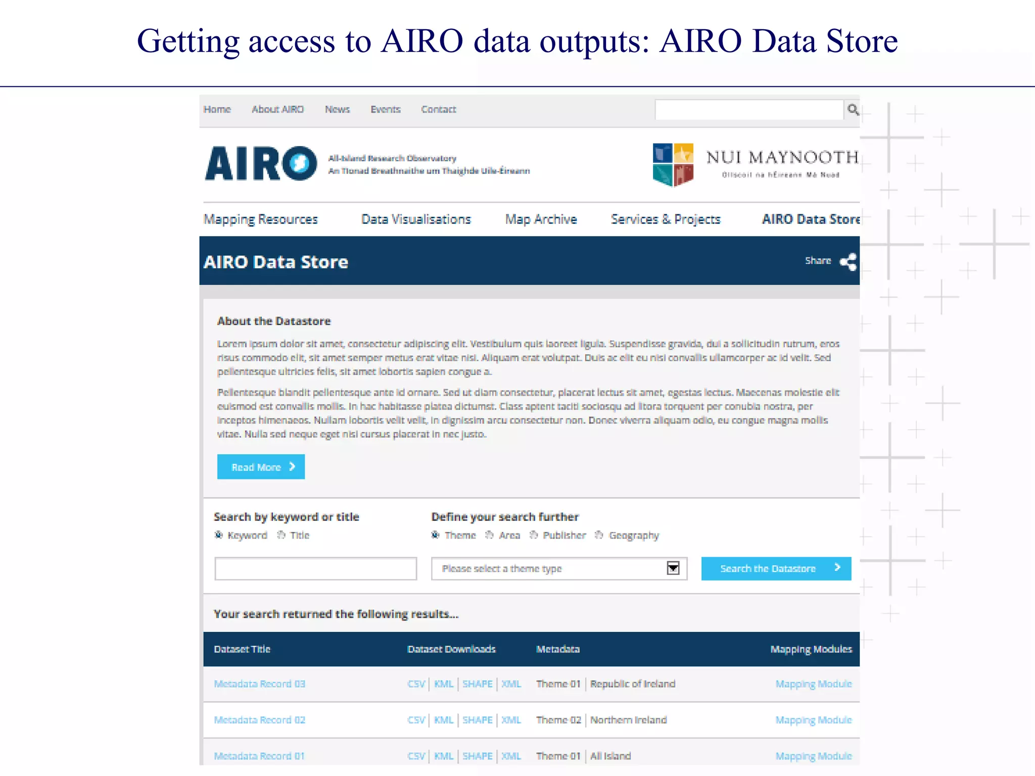
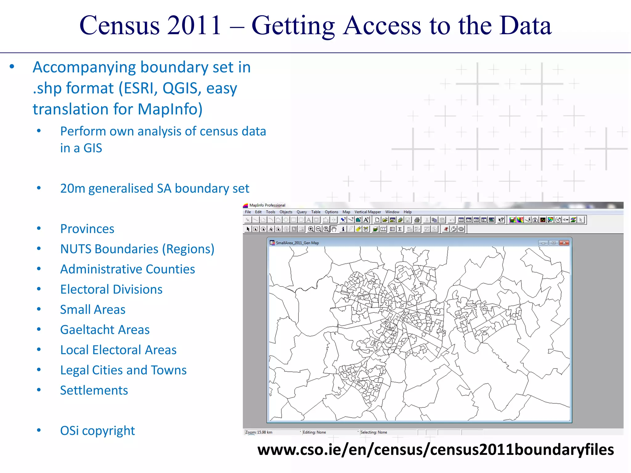
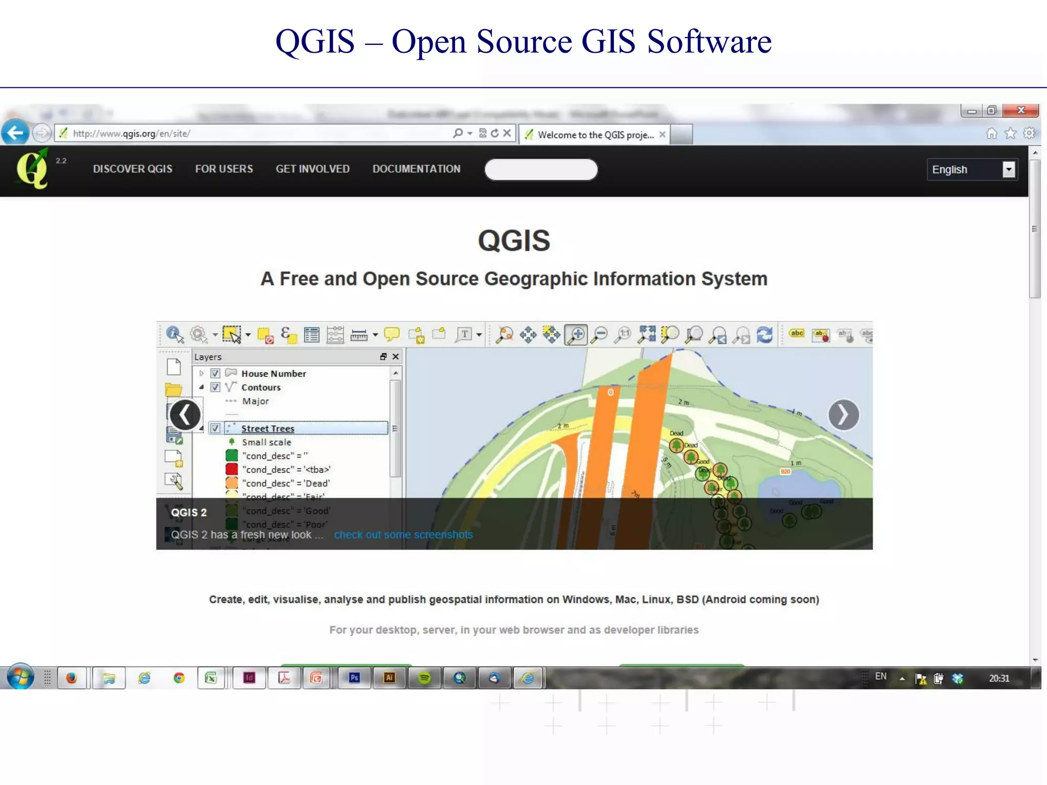
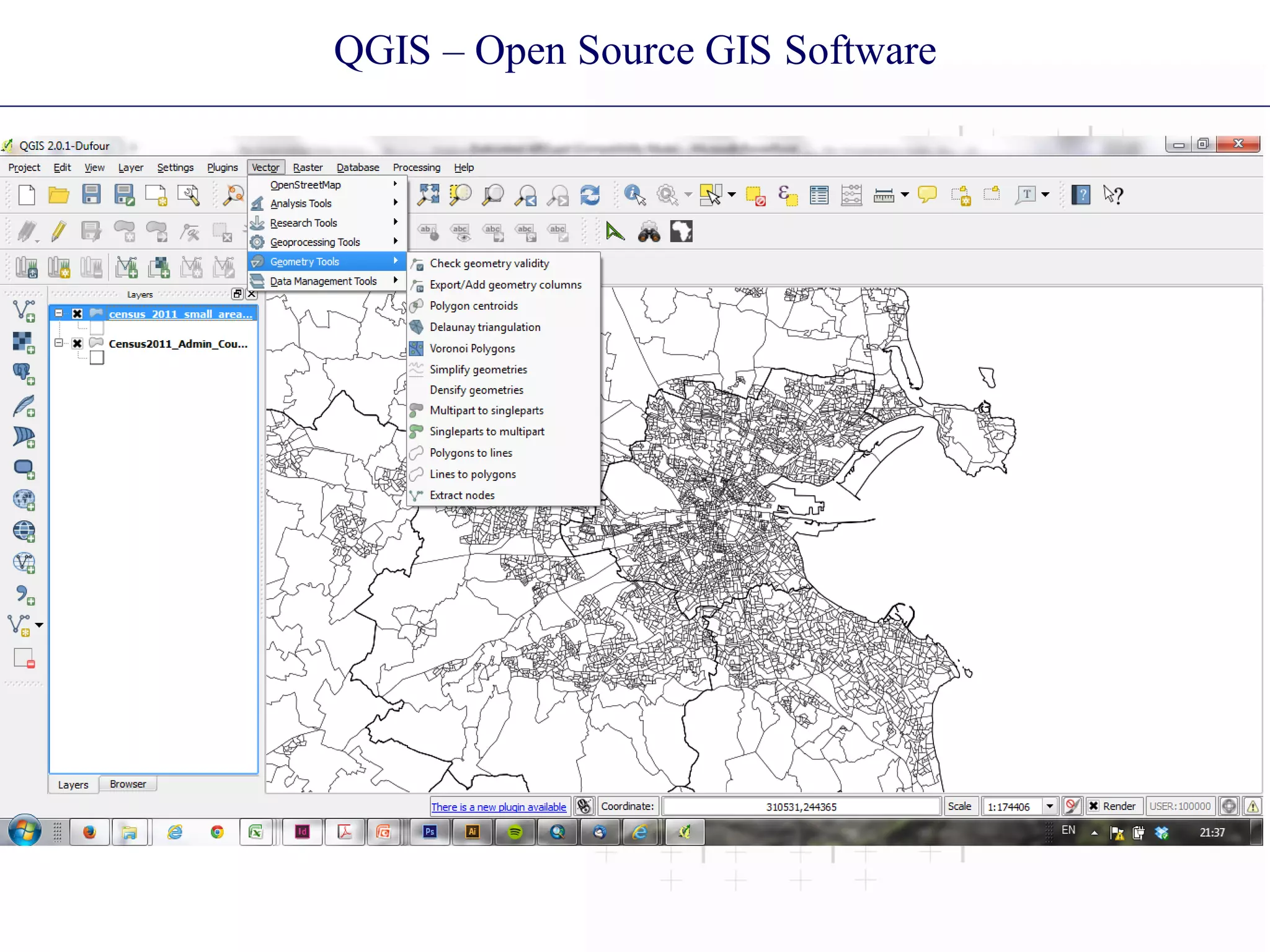
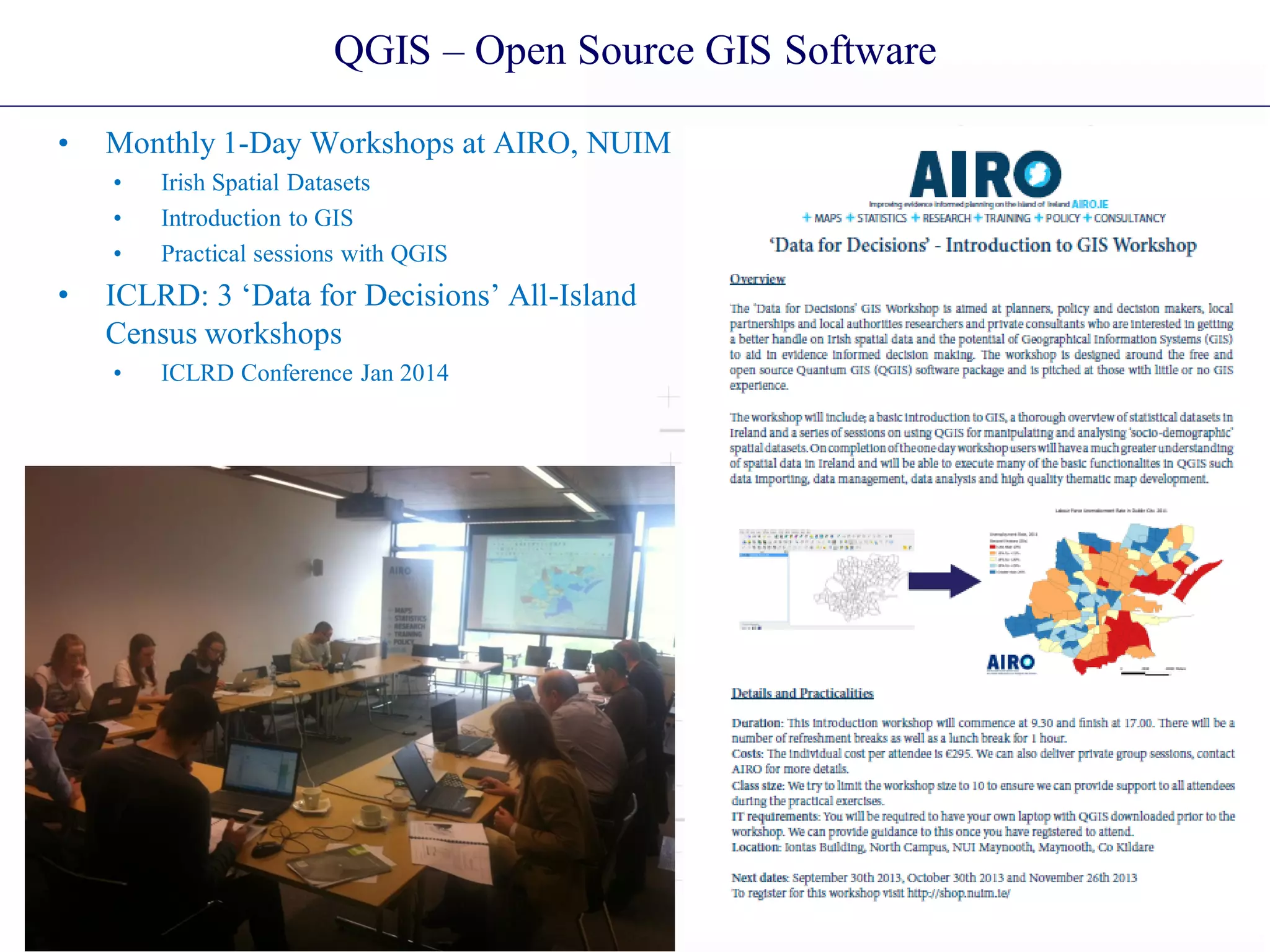
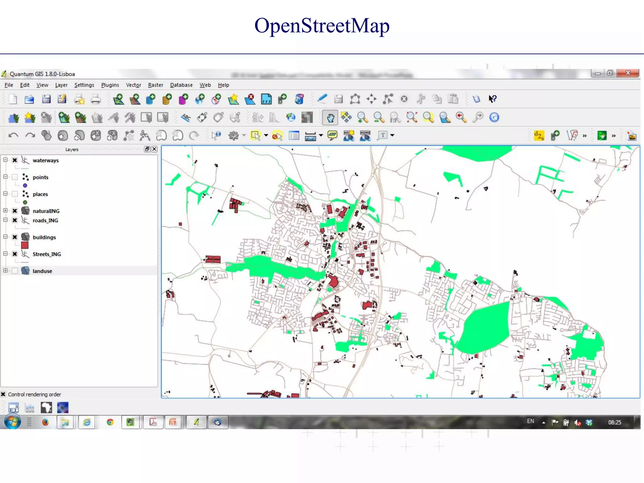

AIRO is a research unit focused on improving evidence-informed planning in Ireland through collecting, analyzing, and providing spatial data and tools. It works with government, regional authorities, academics, and the private sector. AIRO helped visualize 2011 Census data through interactive maps on its website showing various demographic variables down to small area levels. It also developed all-island accessibility maps and holds data days and seminars on using Census data. AIRO makes datasets and outputs available through its open data store and provides QGIS training workshops to facilitate use of open source GIS software.


![UiPath Automation Suite Installation (Hands-On) [2/3]](https://cdn.slidesharecdn.com/ss_thumbnails/automationsuitecommunitysession2-251015095633-a6d862f1-thumbnail.jpg?width=600ounds&width=560&fit=bounds)


