Download to read offline


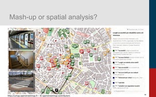
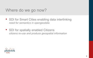
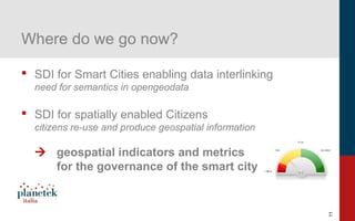

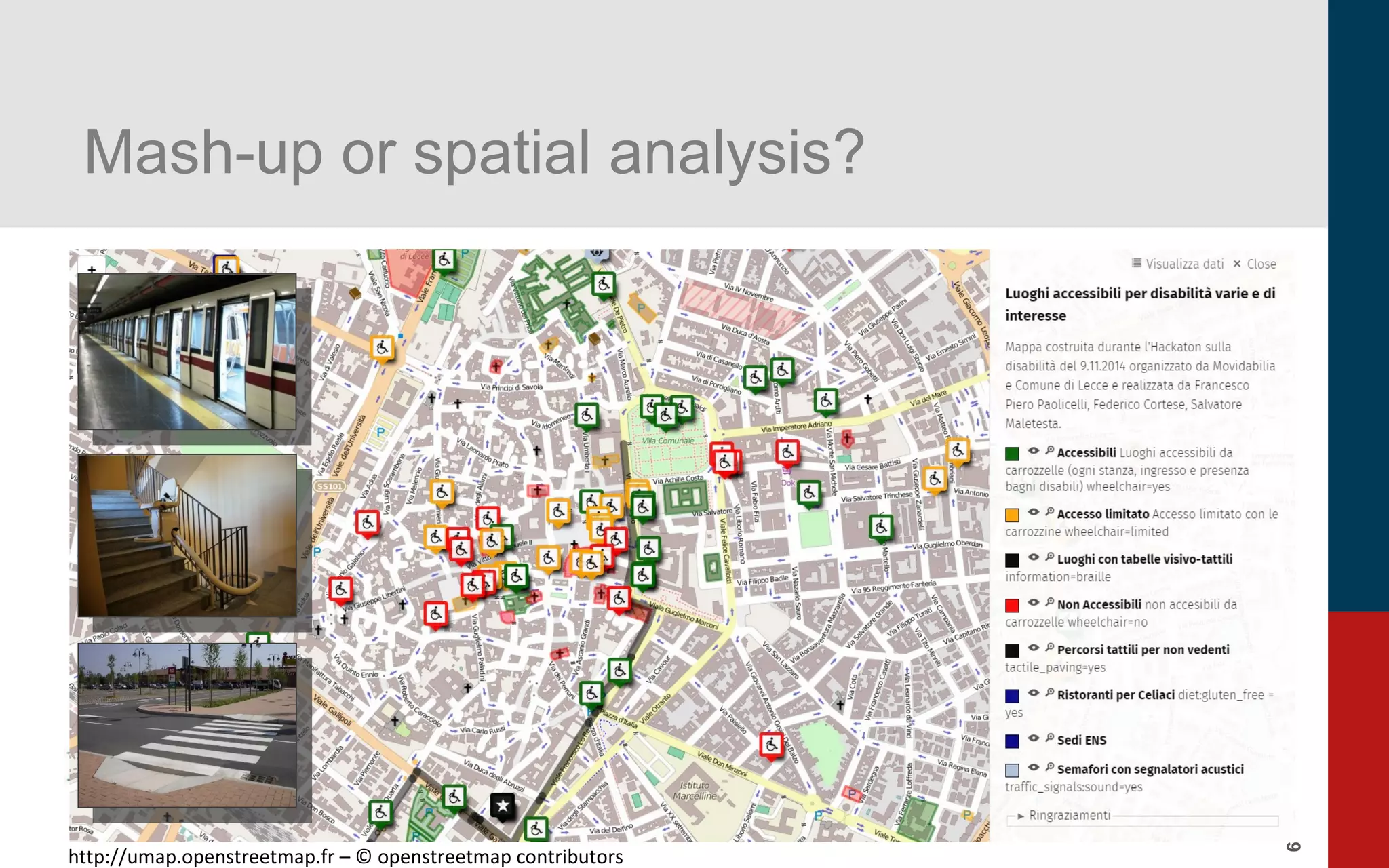

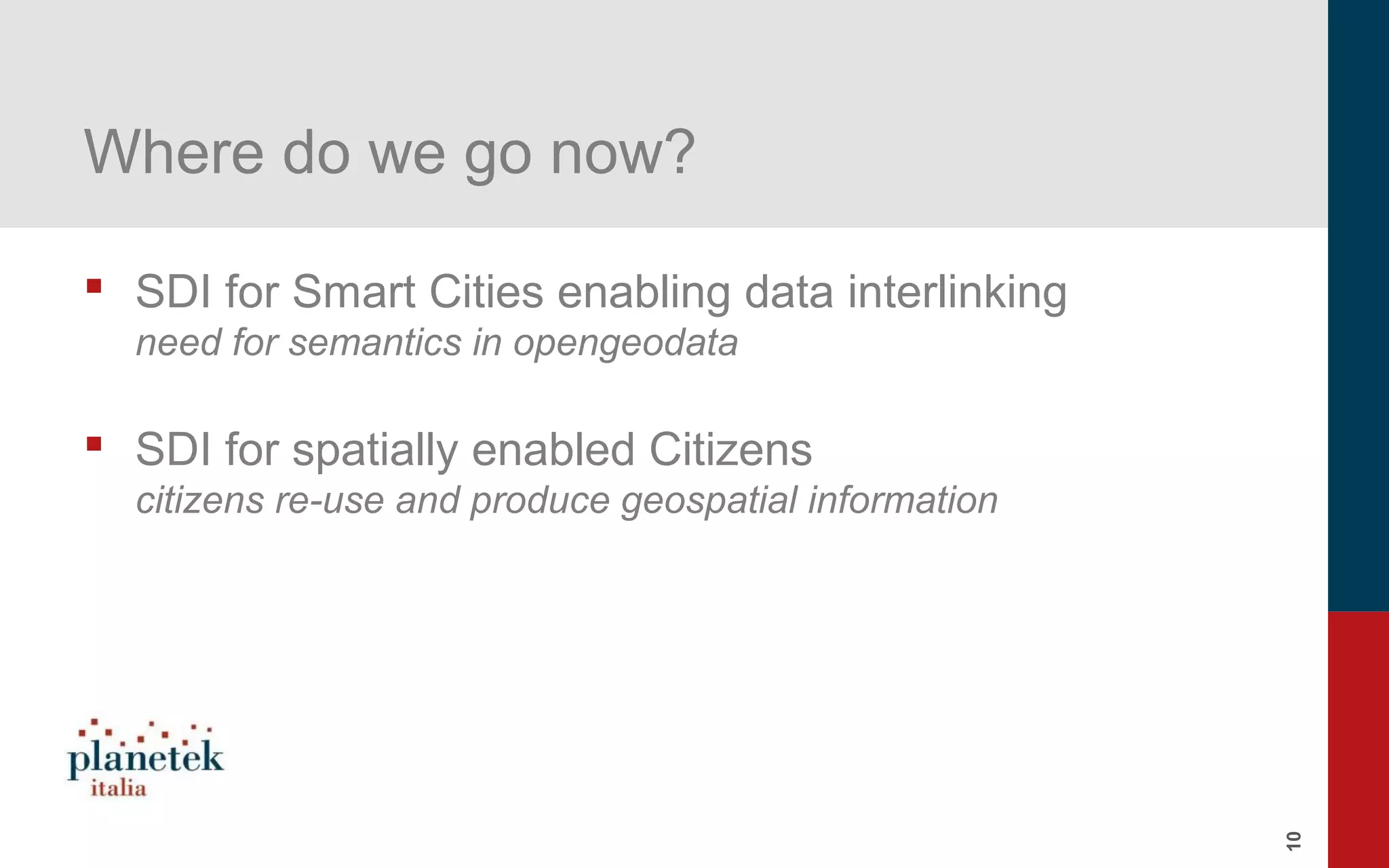


The document discusses the integration of geographical open data, semantics, and smart city concepts with a focus on spatial data infrastructures and linked geospatial data. It emphasizes the importance of enabling data interlinking and the role of citizens in producing and reusing geospatial information. Key technologies and resources are outlined to support these initiatives and enhance governance in smart cities.


![[Webinar] Il telerilevamento da droni aerei: La normativa italiana ENAC e il ...](https://cdn.slidesharecdn.com/ss_thumbnails/webinardroniassorpaspresentazione27gennaio2015-150128100431-conversion-gate01-thumbnail.jpg?width=600ounds&width=560&fit=bounds)

![[Webinar] Il telerilevamento da droni aerei: I sensori PANOPTES nelle ispezio...](https://cdn.slidesharecdn.com/ss_thumbnails/webinardronidargeniopanoptes021214-150128102053-conversion-gate02-thumbnail.jpg?width=600ounds&width=560&fit=bounds)
![[Webinar] Il telerilevamento da droni aerei: Le soluzioni Hexagon Geospatial ...](https://cdn.slidesharecdn.com/ss_thumbnails/pkm026-594-1-150128104853-conversion-gate01-thumbnail.jpg?width=600ounds&width=560&fit=bounds)

![[Webinar] Il telerilevamento da droni aerei: soluzioni Leica Geosystems e cas...](https://cdn.slidesharecdn.com/ss_thumbnails/webinardronileicageosystems12015mlmod-150128101516-conversion-gate02-thumbnail.jpg?width=600ounds&width=560&fit=bounds)


