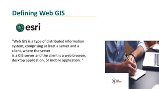
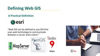
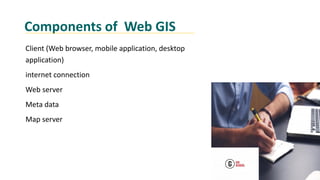
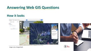
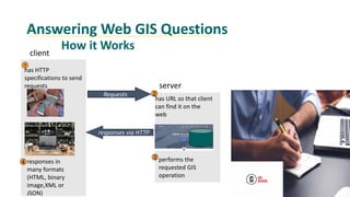
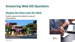
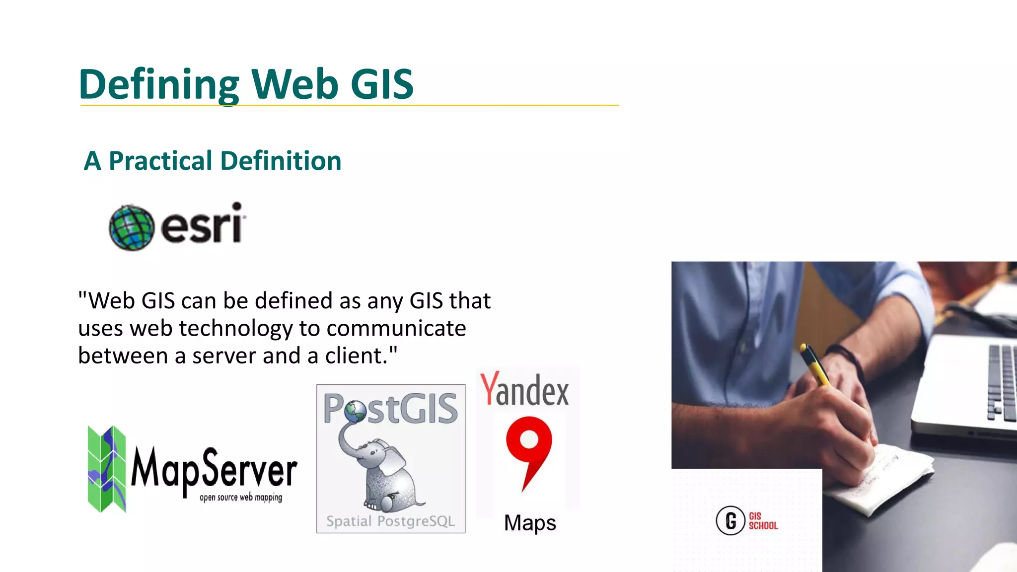
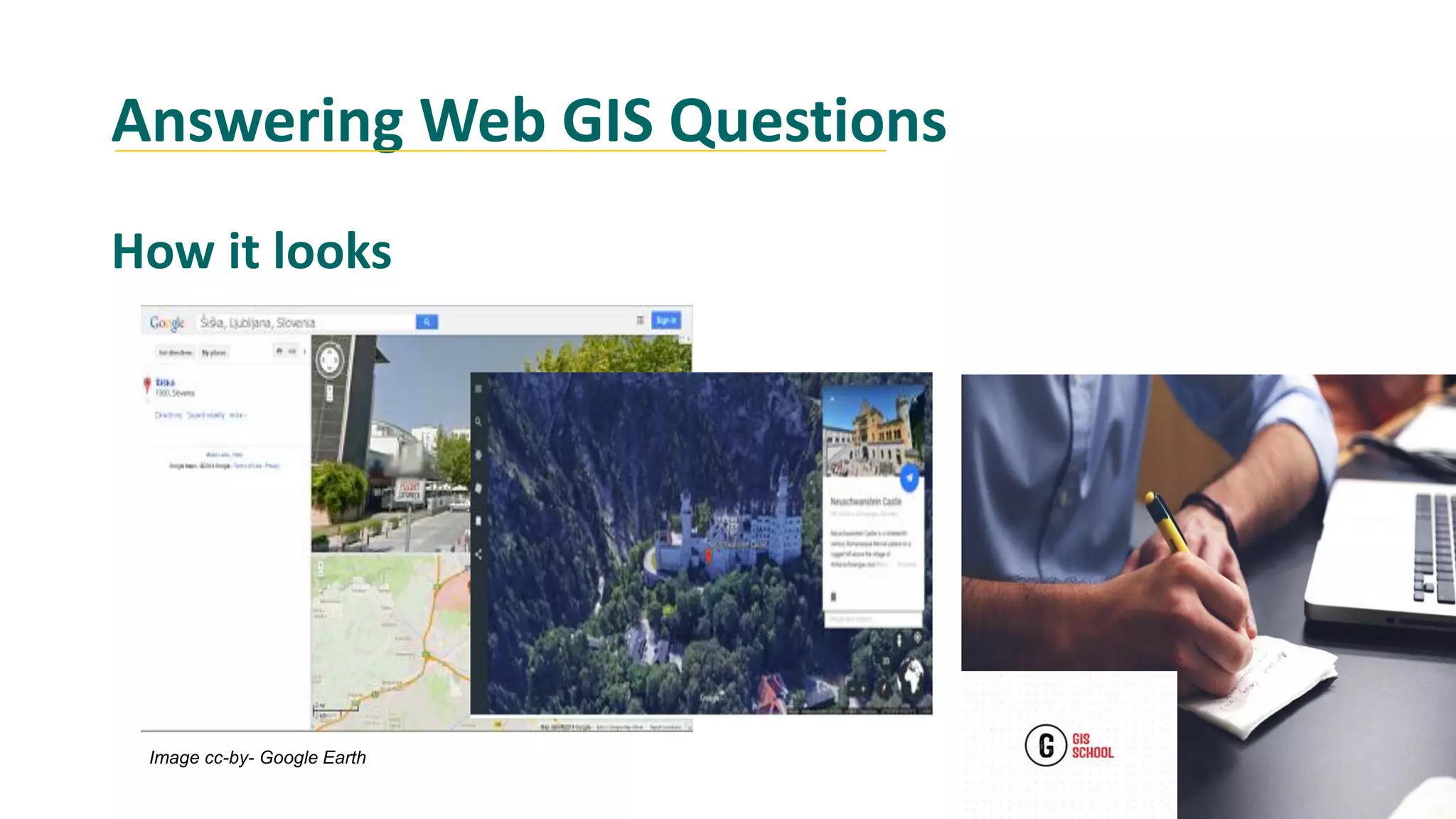
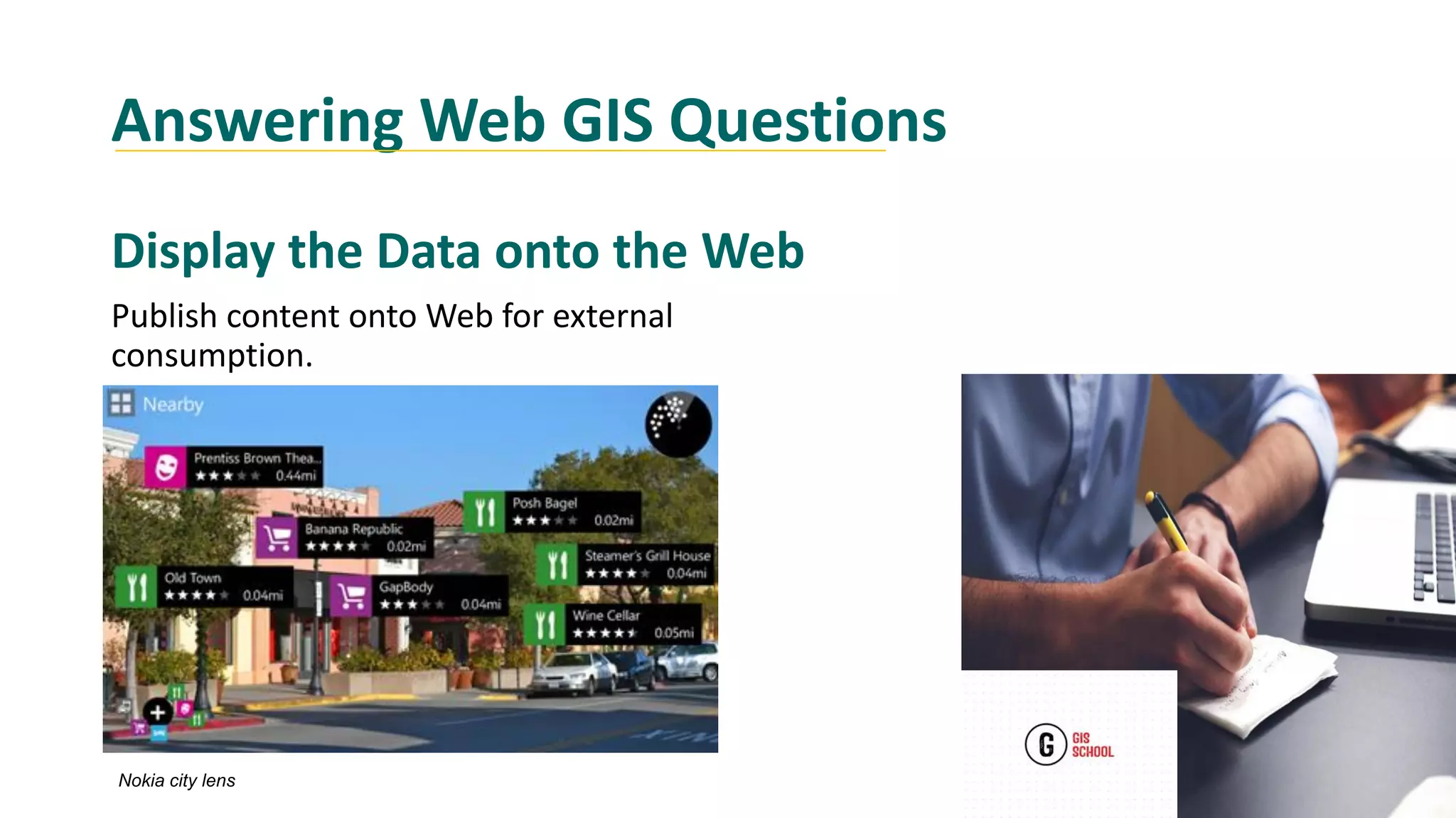
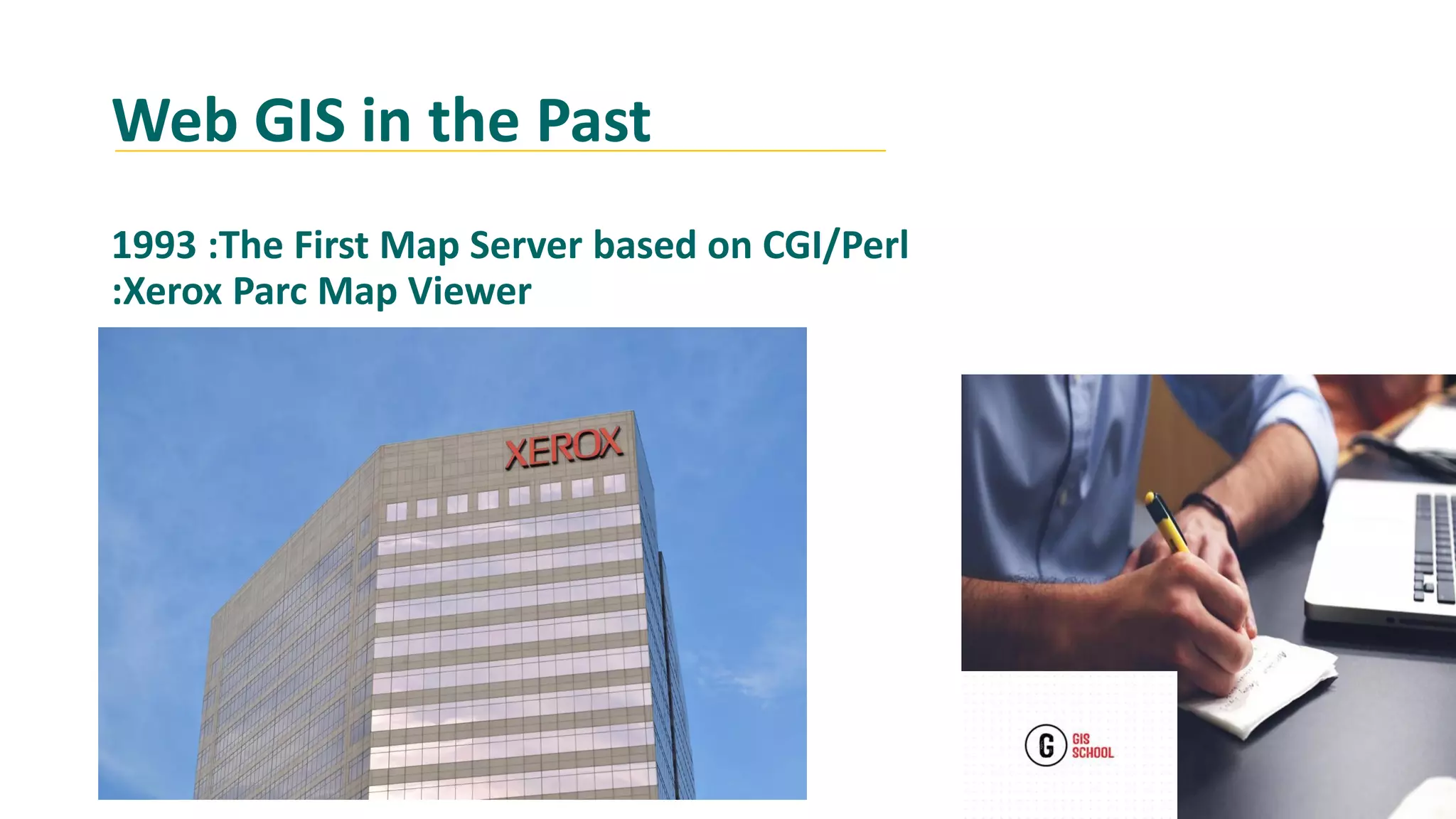
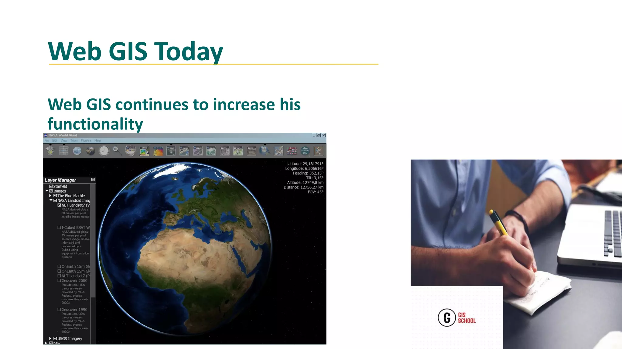
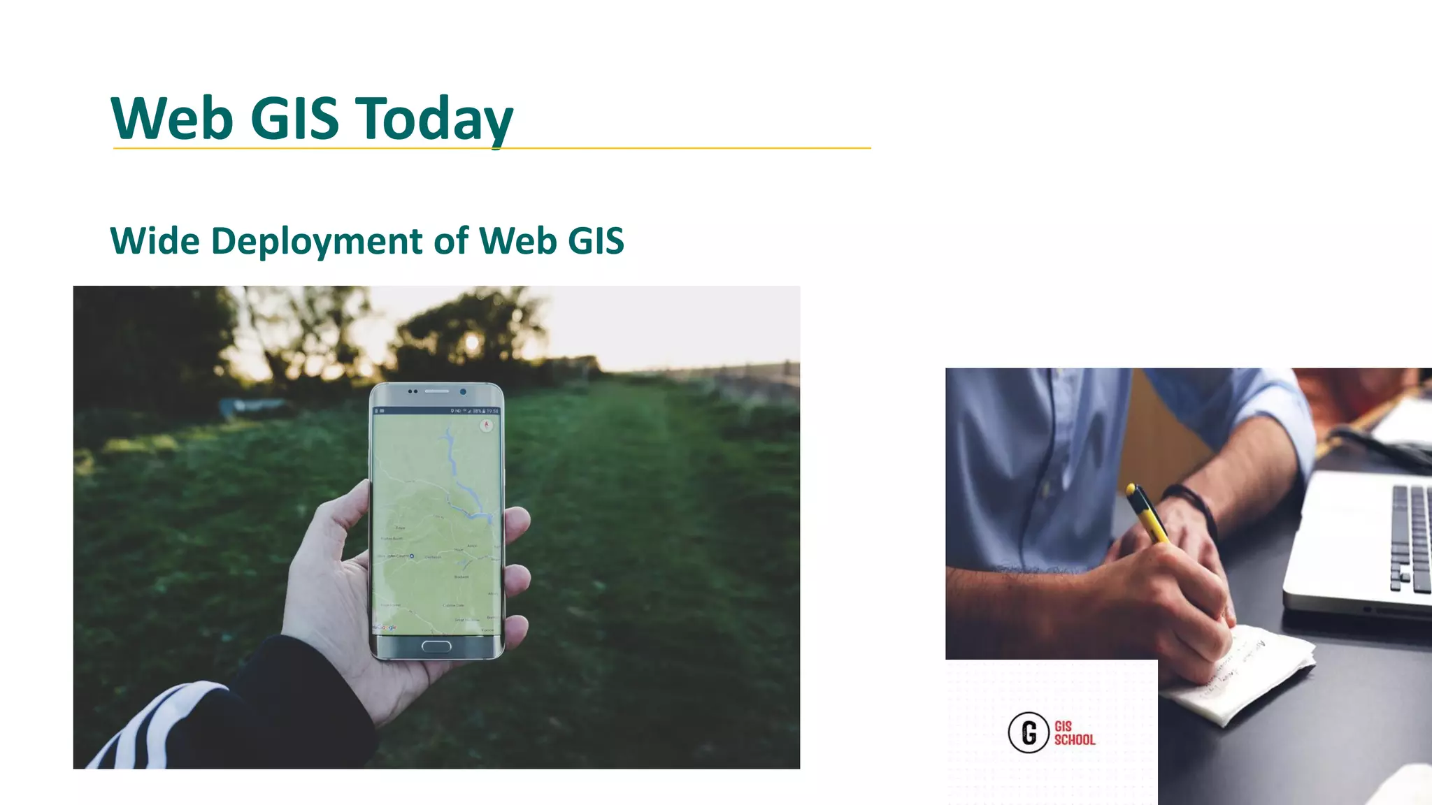
KEMBAR78
What is web gis | PDF
Learning objectives
At the end of this lesson , you should be able to:
 Define Web GIS
Name Components of Web GIS
Why should I learn or Use Web GIS?
Classify Ways Web GIS Can Answer Questions
Summarize the History of Web GIS
Defining Web GIS
"Web GIS is a type of distributed information
system, comprising at least a server and a
client, where the server
is a GIS server and the client is a web browser,
desktop application, or mobile application. "
Defining Web GIS
"Web GIS can be defined as any GIS that
uses web technology to communicate
between a server and a client."
A Practical Definition
Components of Web GIS
Client (Web browser, mobile application, desktop
application)
internet connection
Web server
Meta data
Map server
Why Should I learn or use Web GIS?
Types of Questions We Can Ask
In what Web GIS is different from Desktop GIS?
Gis functionality changes or expands with Web GIS?
How much that costs to deploy a Web GIS in an
organization?
May I supposing to be a GIS professional to use Web
GIS?
Answering Web GIS Questions
How it looks
Image cc-by- Google Earth
Answering Web GIS Questions
client
server
has URL so that client
can find it on the
web
has HTTP
specifications to send
requests
Requests
performs the
requested GIS
operation
1
2
3
responses via HTTP
responses in
many formats
(HTML, binary
image,XML or
JSON)
4
How it Works
Answering Web GIS Questions
Display the Data onto the Web
Publish content onto Web for external
consumption.
Nokia city lens
Answering Web GIS Questions
Free for Users!
The vast majority of Internet content is free of charge to
end users, and this is true of web GIS. Generally, you do
not need to buy software or pay to use web GIS.
Answering Web GIS Questions
Low cost for an organization
Organizations that need to provide GIS capabilities to
many users can also minimize their costs through web
GIS.
Web Gis Functions
Mapping/visualization and query (attribute or spatial)
Collaborative collection of geospatial information.
E.g., wikimapia, OpenStreetMap.
Geospatial analysis: measurement, optimal driving
path, routing, pollution dispersion modeling, retail site
selection
Web GIS in the Past
1993 :The First Map Server based on CGI/Perl
:Xerox Parc Map Viewer
Web GIS in the Past
2004: OpenStreetMap, an open source, open
content world map founded by Steve Coast..
Web GIS Today
Web GIS continues to increase his
functionality
Web GIS Today
Wide Deployment of Web GIS
Summary
Web GIS is a lot of Things
Concepts and Tools to Ask and Answer
Spatial Question
Software, Data, Networks, Workflows,Procedures
Geography is old; Web GIS is Modern
Increasingly Common in Decision Making in all domain

What is web gis

  • 1.
    Learning objectives At theend of this lesson , you should be able to:  Define Web GIS Name Components of Web GIS Why should I learn or Use Web GIS? Classify Ways Web GIS Can Answer Questions Summarize the History of Web GIS
  • 2.
    Defining Web GIS "WebGIS is a type of distributed information system, comprising at least a server and a client, where the server is a GIS server and the client is a web browser, desktop application, or mobile application. "
  • 3.
    Defining Web GIS "WebGIS can be defined as any GIS that uses web technology to communicate between a server and a client." A Practical Definition
  • 4.
    Components of WebGIS Client (Web browser, mobile application, desktop application) internet connection Web server Meta data Map server
  • 5.
    Why Should Ilearn or use Web GIS? Types of Questions We Can Ask In what Web GIS is different from Desktop GIS? Gis functionality changes or expands with Web GIS? How much that costs to deploy a Web GIS in an organization? May I supposing to be a GIS professional to use Web GIS?
  • 6.
    Answering Web GISQuestions How it looks Image cc-by- Google Earth
  • 7.
    Answering Web GISQuestions client server has URL so that client can find it on the web has HTTP specifications to send requests Requests performs the requested GIS operation 1 2 3 responses via HTTP responses in many formats (HTML, binary image,XML or JSON) 4 How it Works
  • 8.
    Answering Web GISQuestions Display the Data onto the Web Publish content onto Web for external consumption. Nokia city lens
  • 9.
    Answering Web GISQuestions Free for Users! The vast majority of Internet content is free of charge to end users, and this is true of web GIS. Generally, you do not need to buy software or pay to use web GIS.
  • 10.
    Answering Web GISQuestions Low cost for an organization Organizations that need to provide GIS capabilities to many users can also minimize their costs through web GIS.
  • 11.
    Web Gis Functions Mapping/visualizationand query (attribute or spatial) Collaborative collection of geospatial information. E.g., wikimapia, OpenStreetMap. Geospatial analysis: measurement, optimal driving path, routing, pollution dispersion modeling, retail site selection
  • 12.
    Web GIS inthe Past 1993 :The First Map Server based on CGI/Perl :Xerox Parc Map Viewer
  • 13.
    Web GIS inthe Past 2004: OpenStreetMap, an open source, open content world map founded by Steve Coast..
  • 14.
    Web GIS Today WebGIS continues to increase his functionality
  • 15.
    Web GIS Today WideDeployment of Web GIS
  • 16.
    Summary Web GIS isa lot of Things Concepts and Tools to Ask and Answer Spatial Question Software, Data, Networks, Workflows,Procedures Geography is old; Web GIS is Modern Increasingly Common in Decision Making in all domain