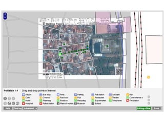
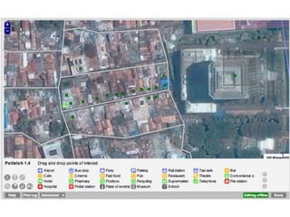
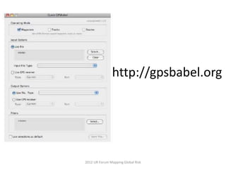
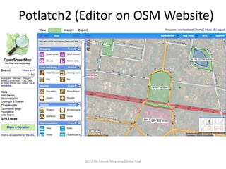
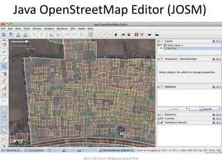
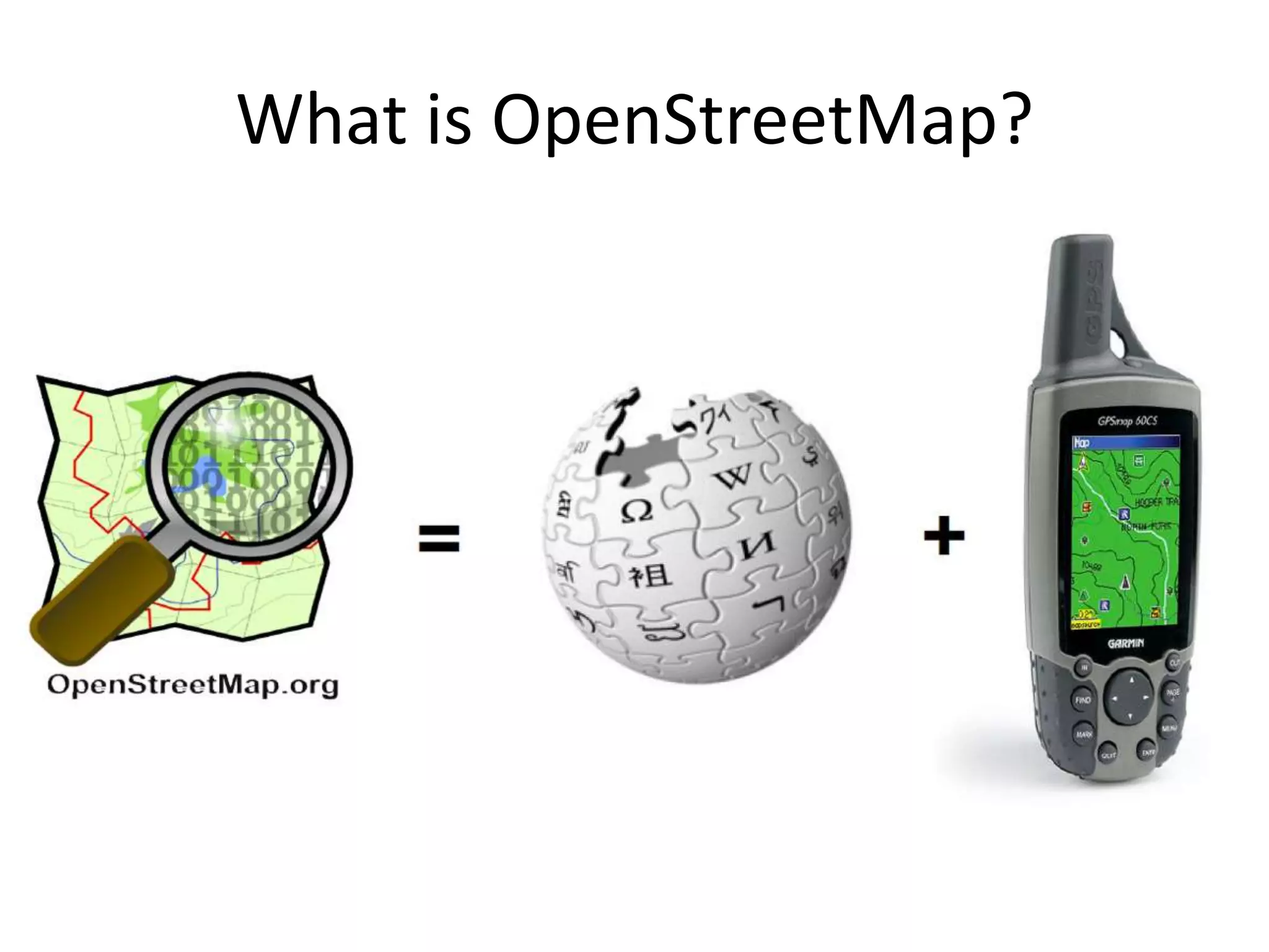
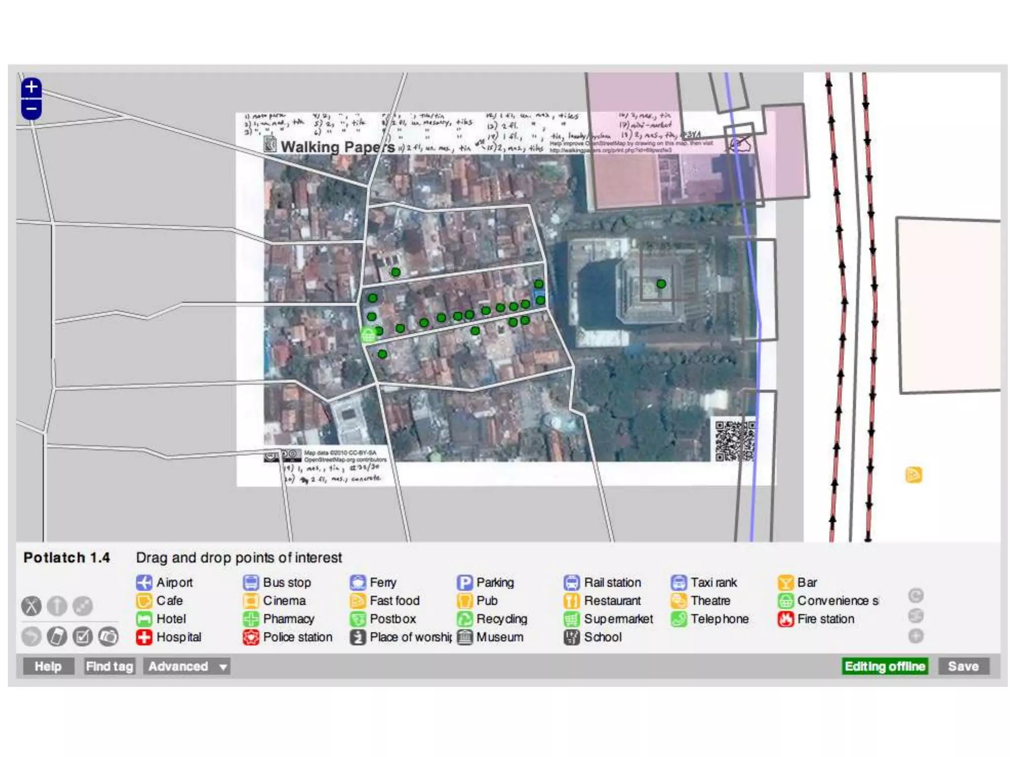
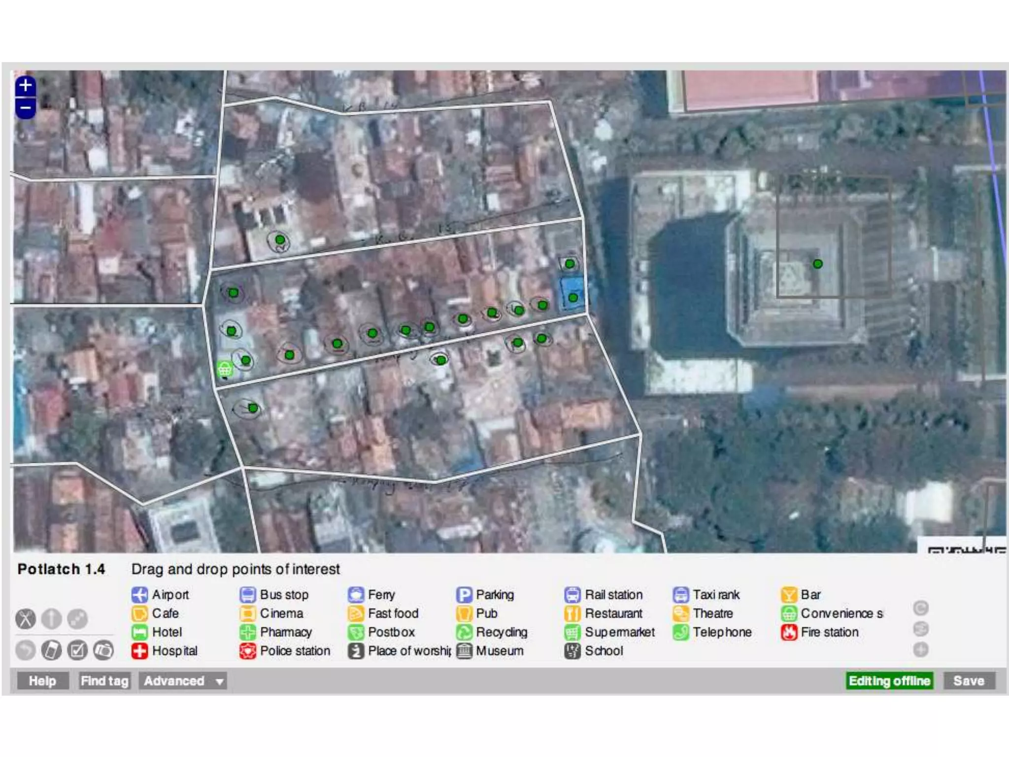
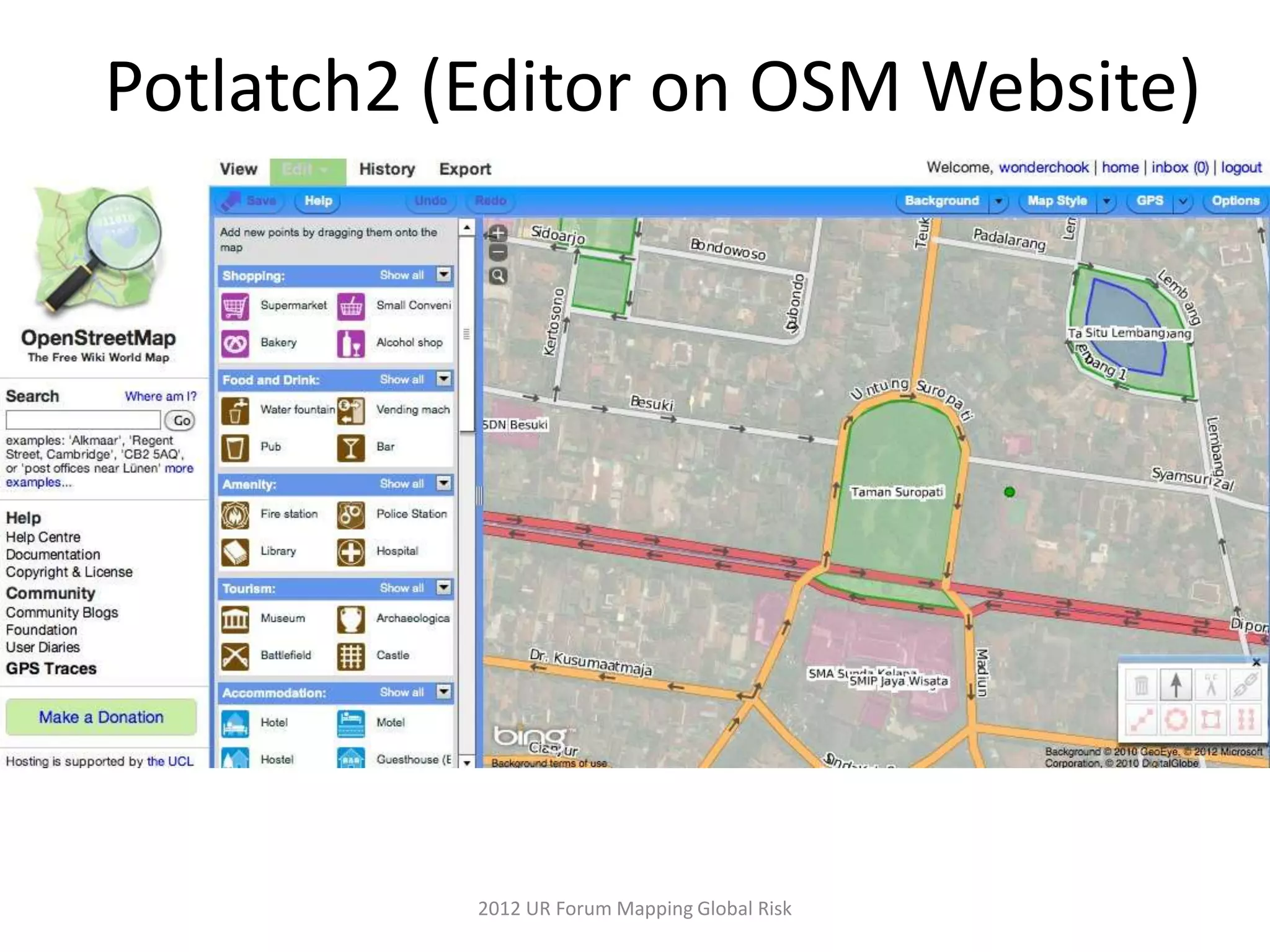
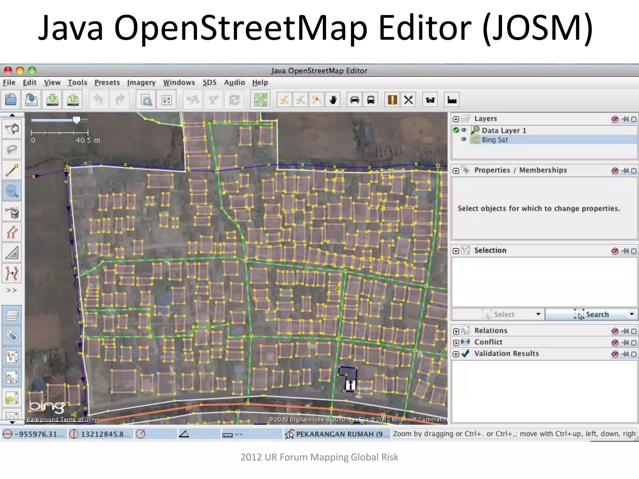
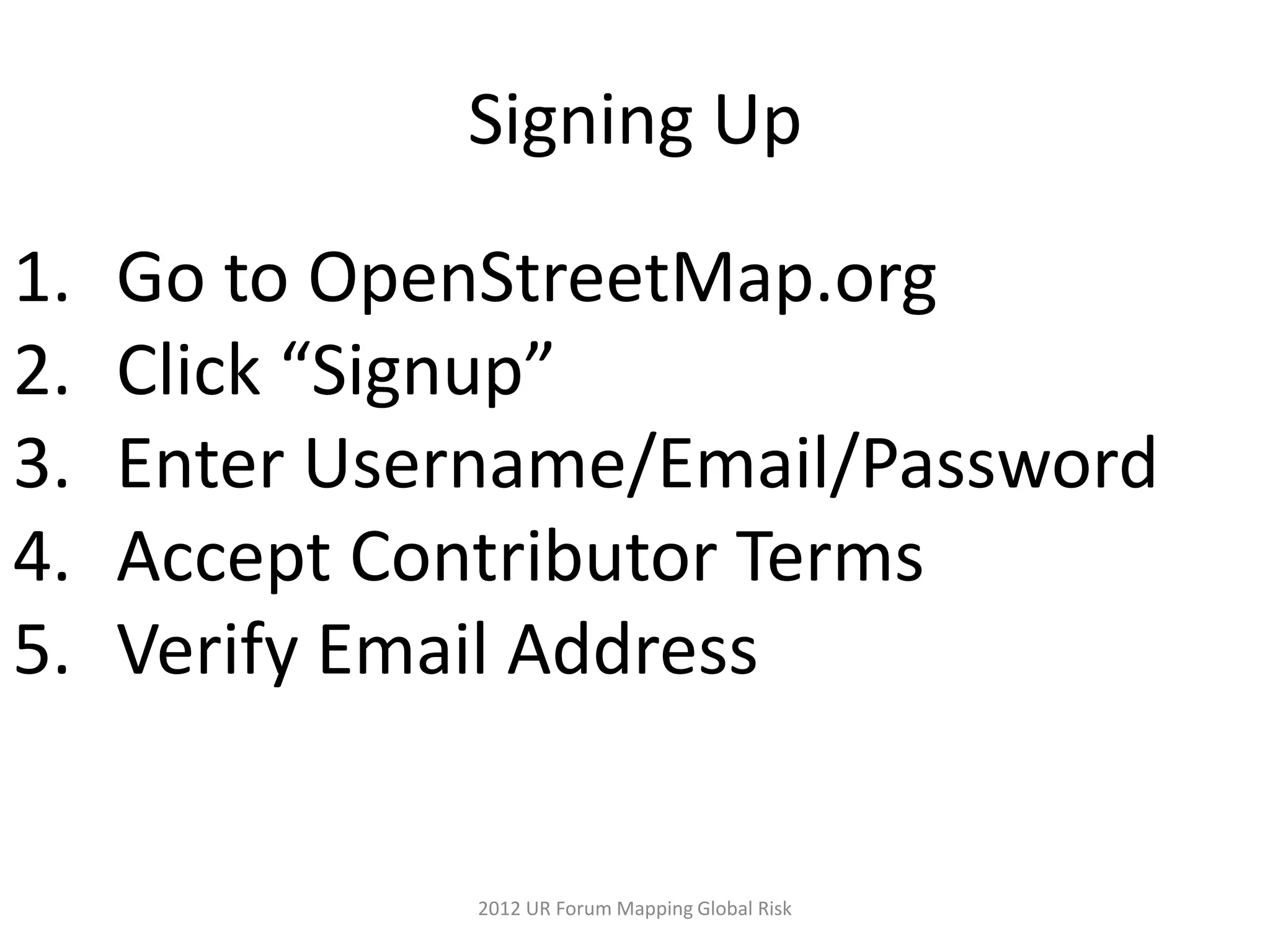
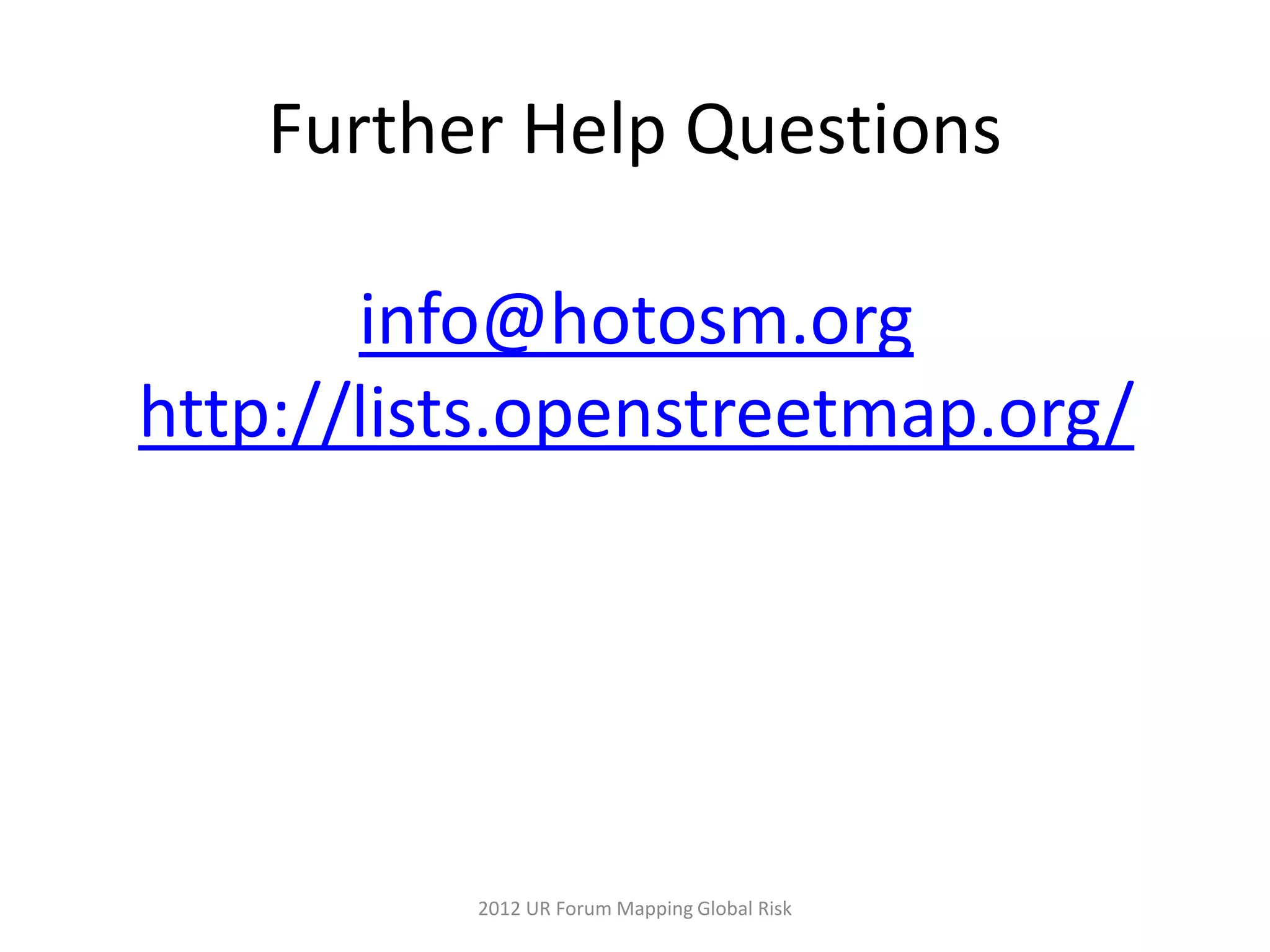
KEMBAR78
Introduction to OpenStreetMap (Understanding Risk 2012) | PPTX
Introduction to OpenStreetMap
What is OpenStreetMap?
History
• Founded in the United Kingdom in 2004 by
  Steve Coast
• Ordnance Survey Data was Expensive to
  Use
• July 2005 the First Mapping Party Takes
  Place


               2012 UR Forum Mapping Global Risk
Open License

          CC-BY-SA/ODbL

1. Credit OpenStreetMap
2. Share improved data to community


             2012 UR Forum Mapping Global Risk
How to Contribute?


    2012 UR Forum Mapping Global Risk
Satellite Imagery


   2012 UR Forum Mapping Global Risk
Most any GPS
will work
HOT buys
Garmin Etrex
walking-papers.org
http://gpsbabel.org


2012 UR Forum Mapping Global Risk
Potlatch2 (Editor on OSM Website)


           2012 UR Forum Mapping Global Risk
Java OpenStreetMap Editor (JOSM)


           2012 UR Forum Mapping Global Risk
Signing Up

1.   Go to OpenStreetMap.org
2.   Click “Signup”
3.   Enter Username/Email/Password
4.   Accept Contributor Terms
5.   Verify Email Address


               2012 UR Forum Mapping Global Risk
More Materials


LearnOSM.org


   2012 UR Forum Mapping Global Risk
Further Help Questions

       info@hotosm.org
http://lists.openstreetmap.org/


          2012 UR Forum Mapping Global Risk
Thanks!
       Kate Chapman
kate.chapman@hotosm.org
      @wonderchook


       2012 UR Forum Mapping Global Risk

Introduction to OpenStreetMap (Understanding Risk 2012)

Editor's Notes

  • #8 Founding information