Downloaded 67 times


![Stylers – Code Snippet
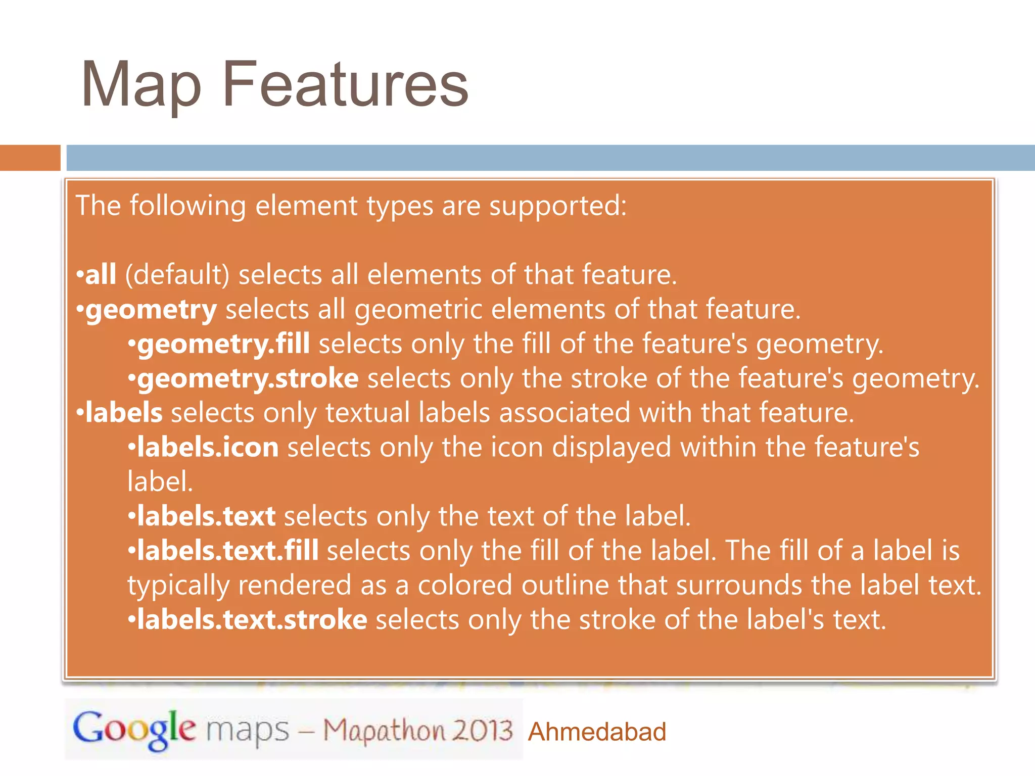
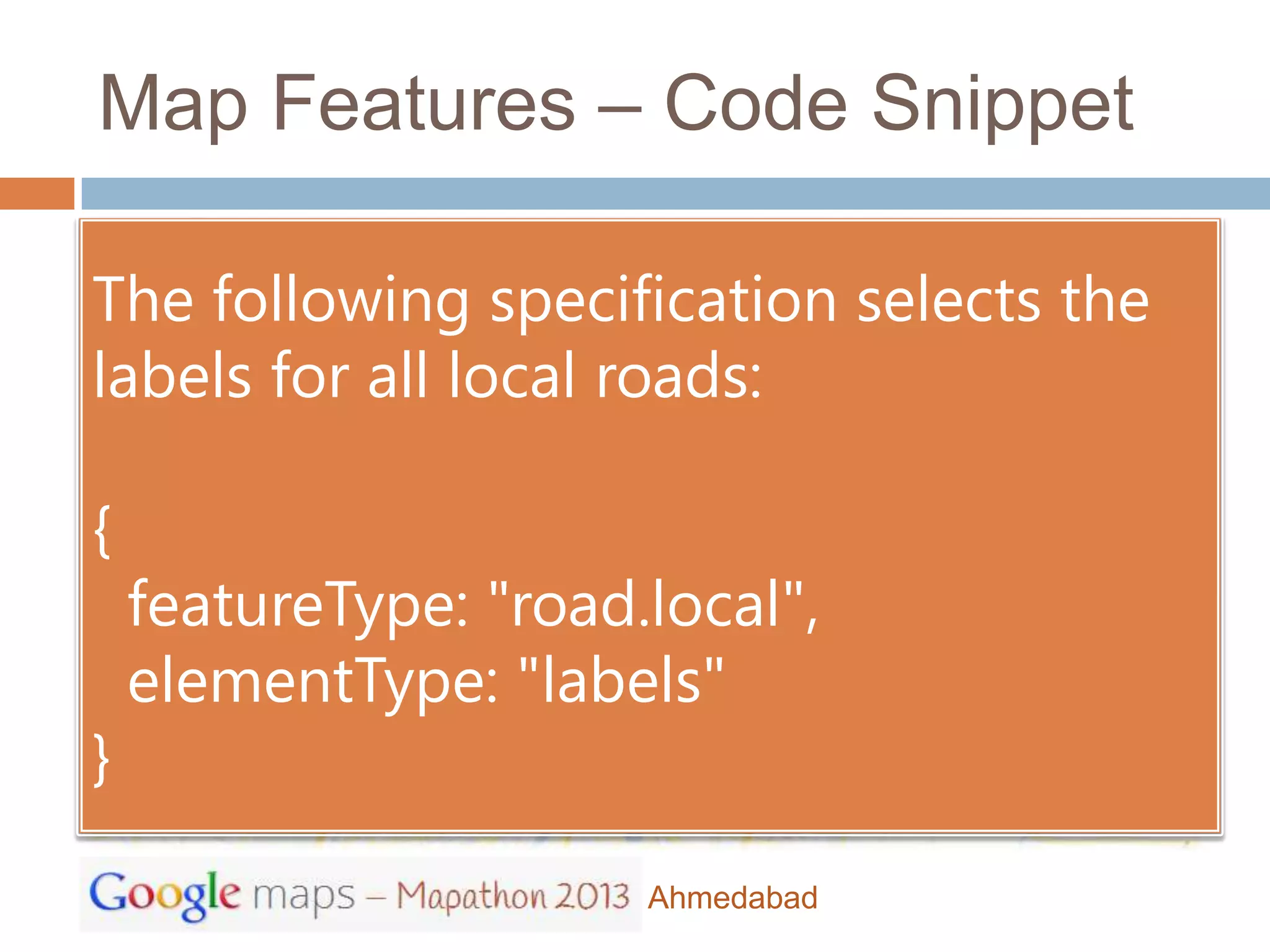
The following specification selects the
labels for all local roads:
stylers: [
{ hue: "#00d4ff" },
{ saturation: 60 },
{ lightness: -20 },
{ gamma: 1.51 }
]
Ahmedabad](https://image.slidesharecdn.com/mapathongdg-130308073523-phpapp01/85/Mapathon-2013-Google-Maps-Javascript-API-28-320.jpg)


![Stylers – Code Snippet
The following specification selects the
labels for all local roads:
stylers: [
{ hue: "#00d4ff" },
{ saturation: 60 },
{ lightness: -20 },
{ gamma: 1.51 }
]
Ahmedabad](https://image.slidesharecdn.com/mapathongdg-130308073523-phpapp01/75/Mapathon-2013-Google-Maps-Javascript-API-28-2048.jpg)
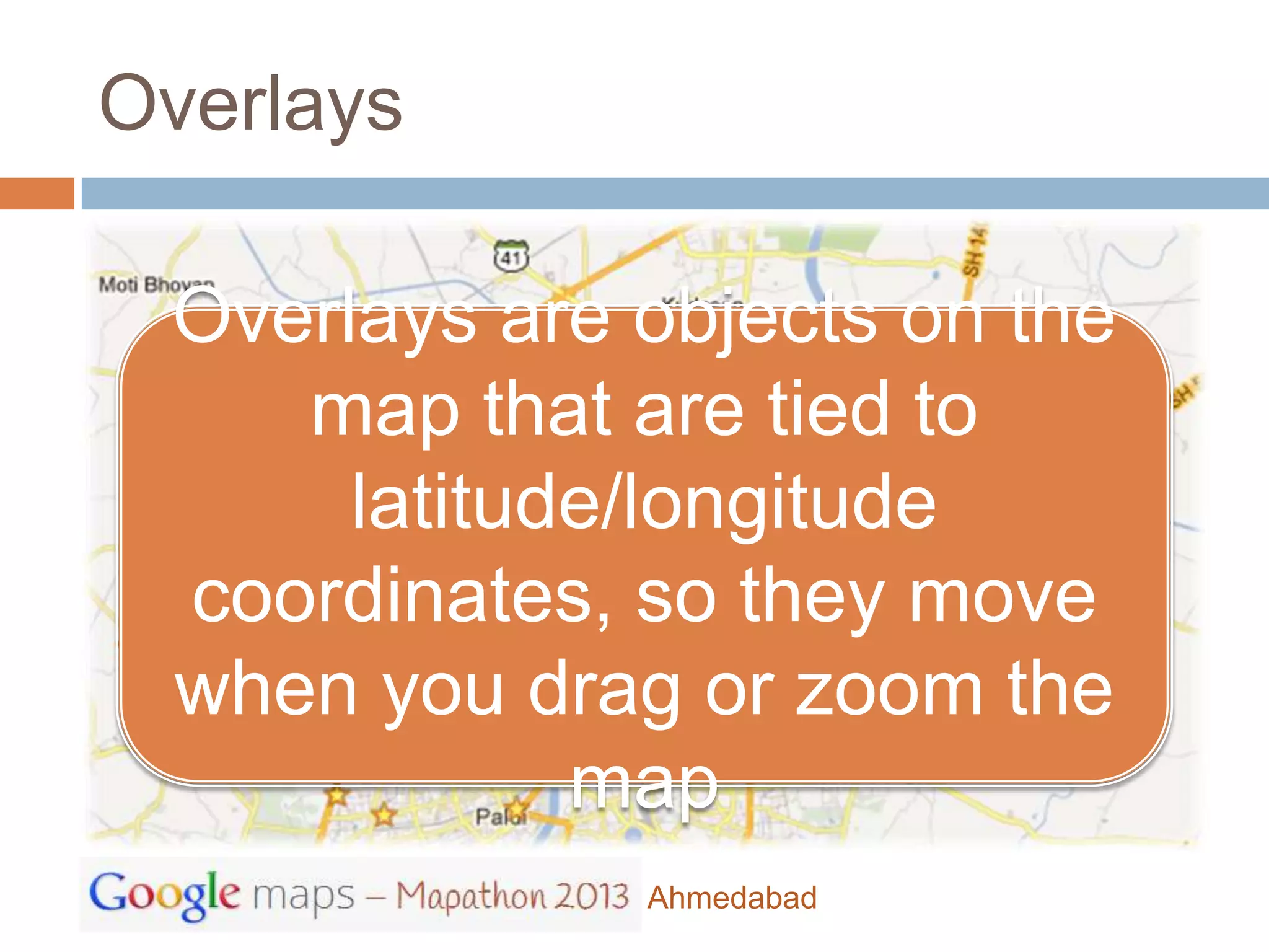
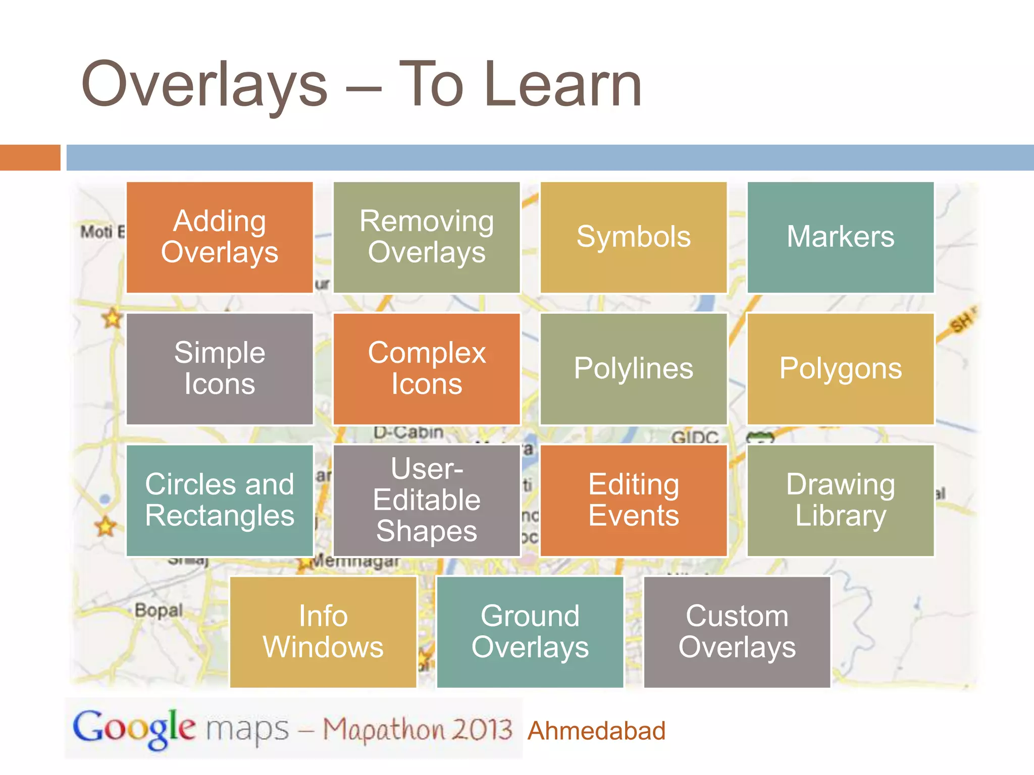

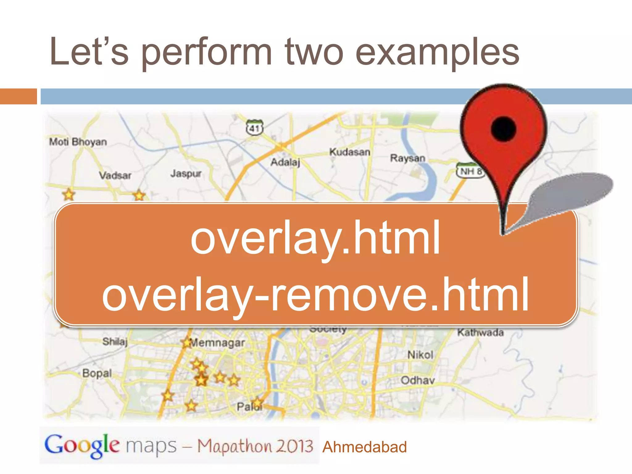
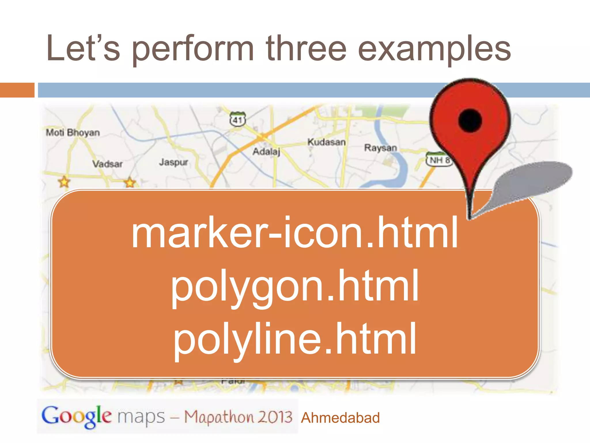
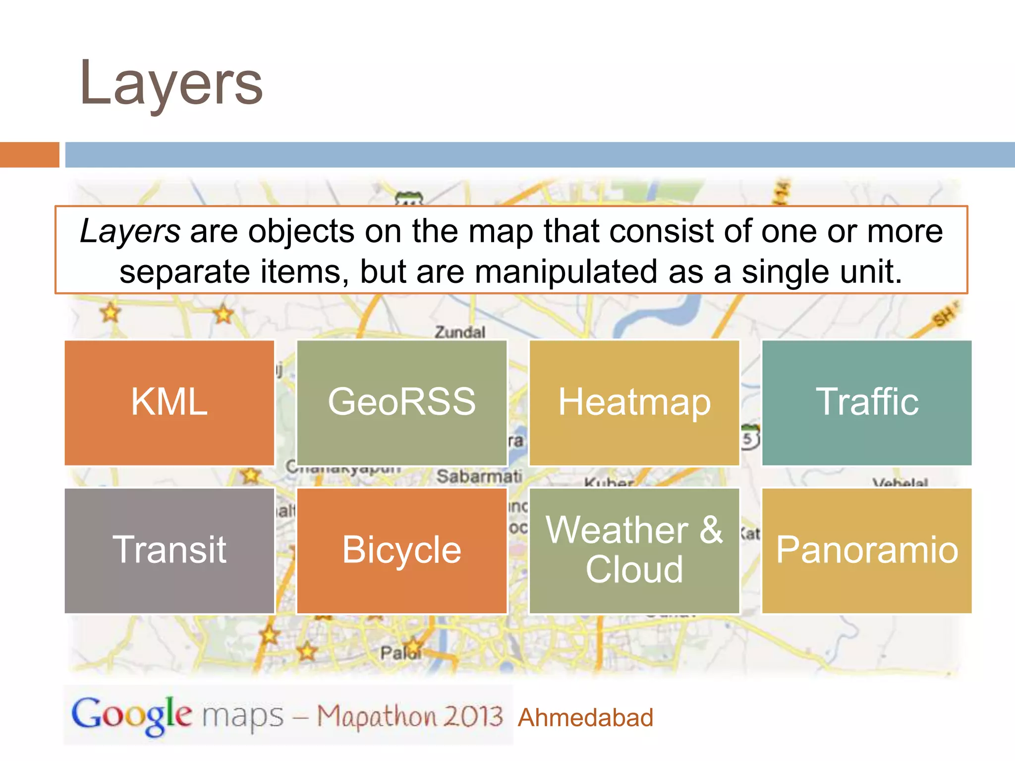
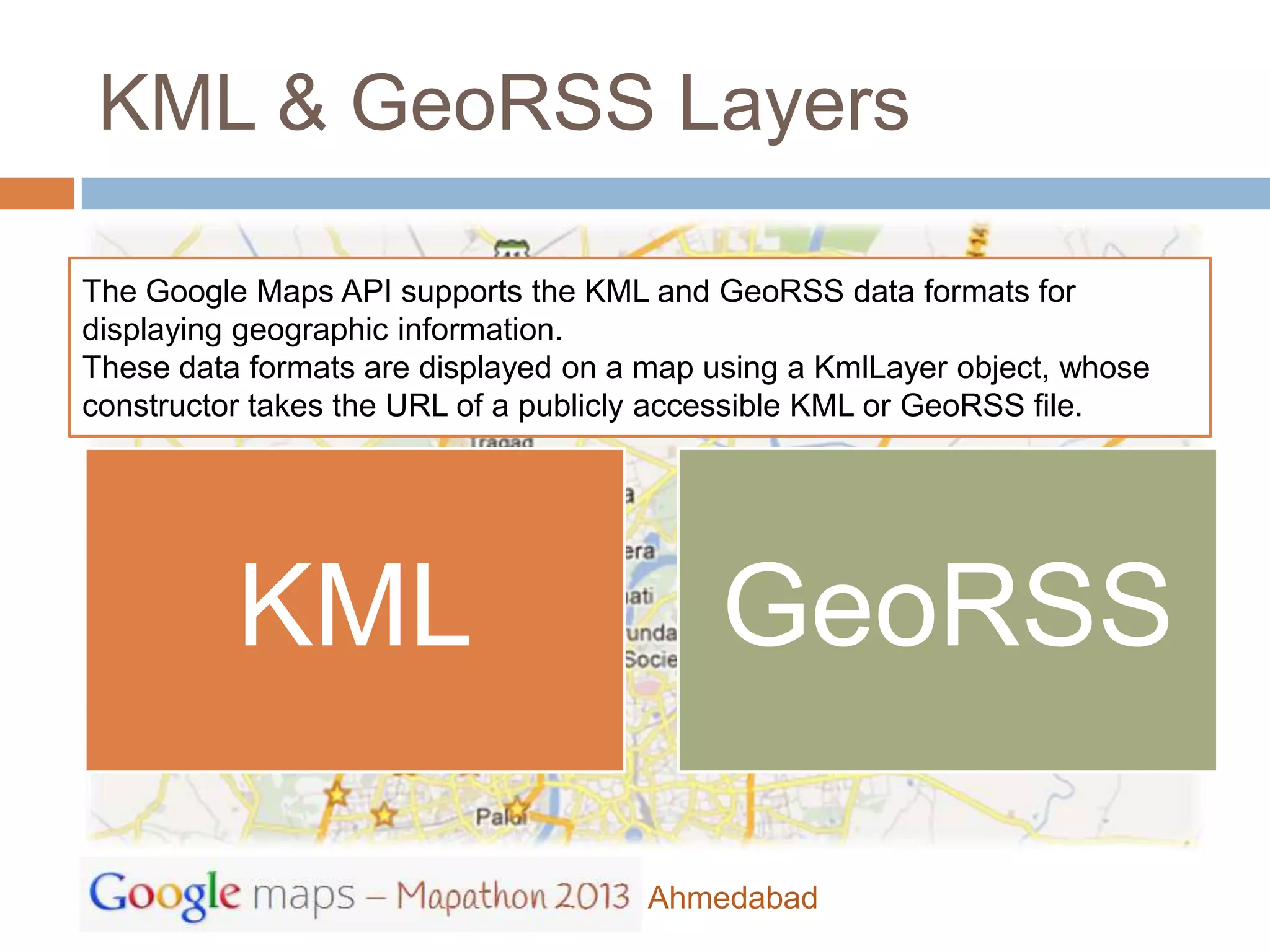
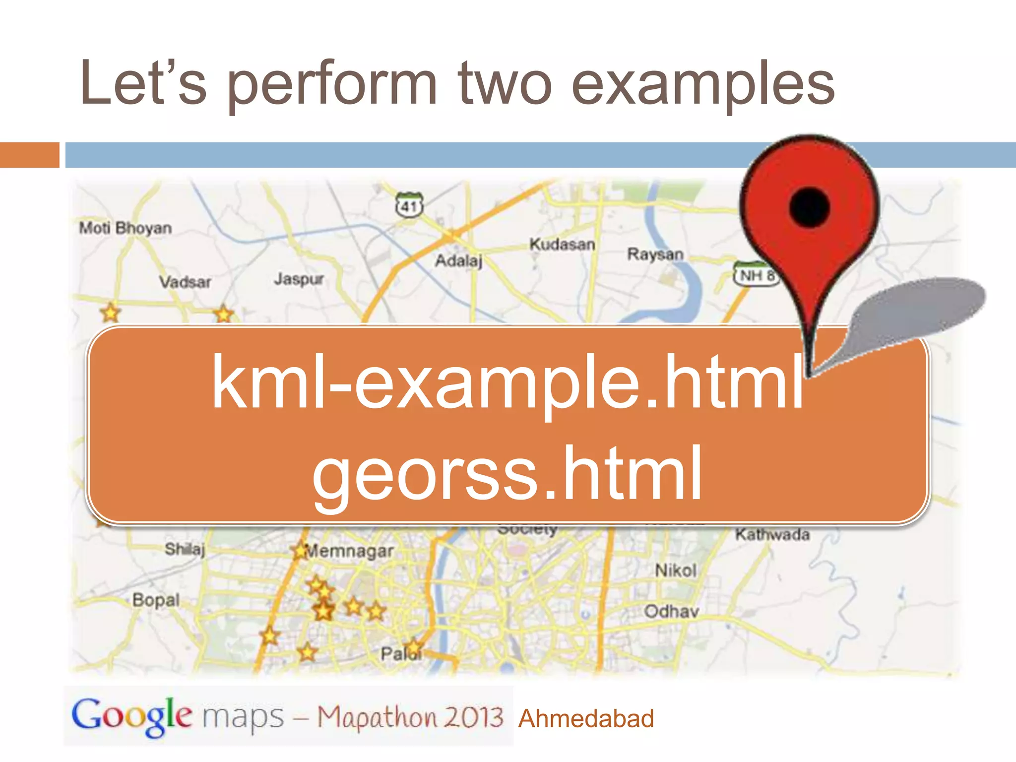
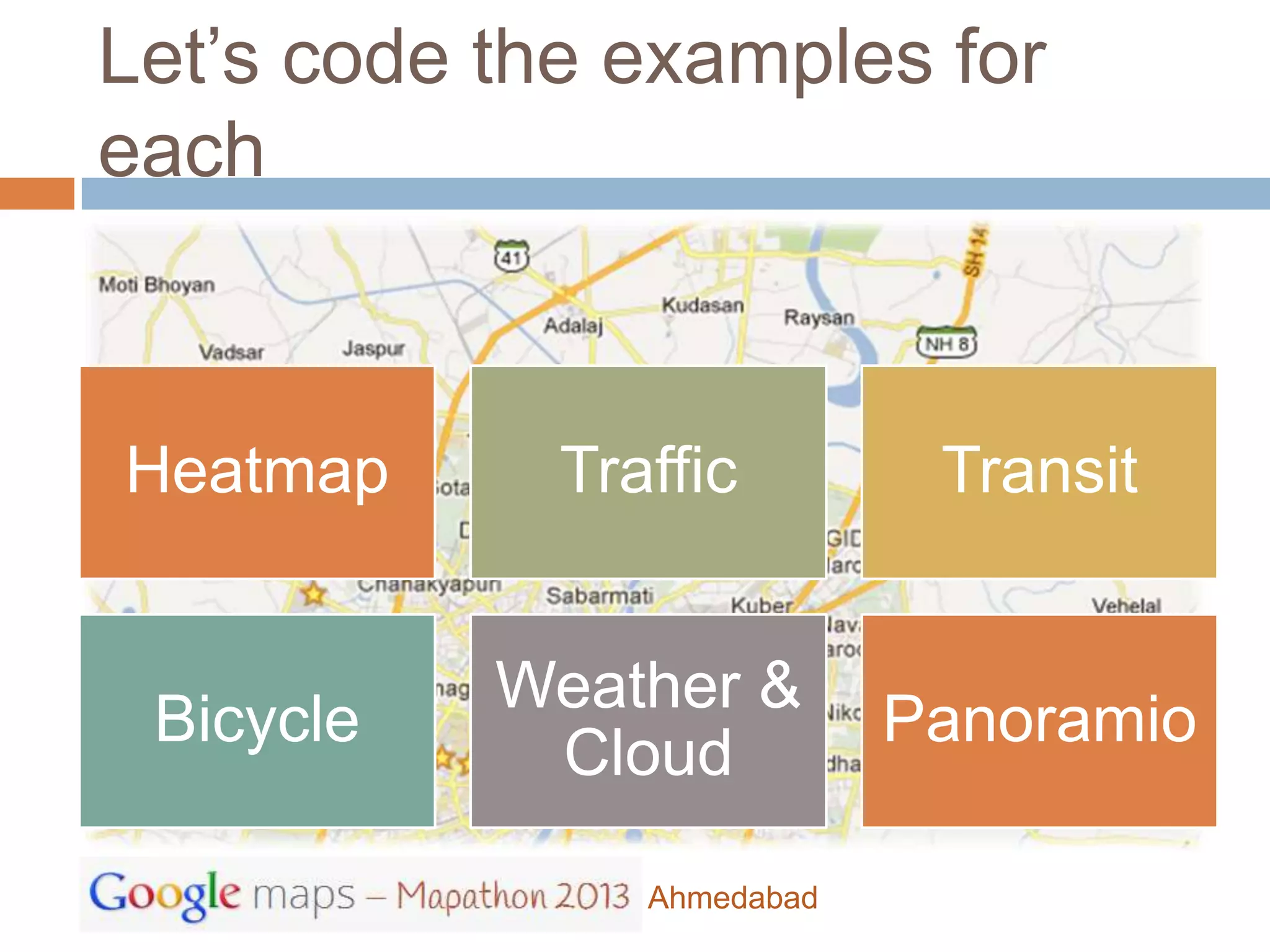

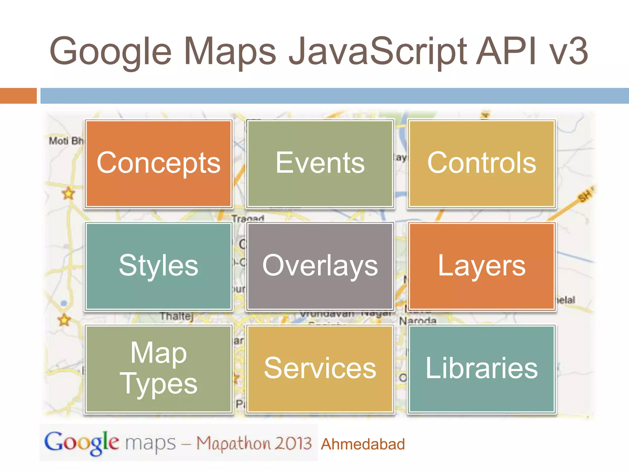
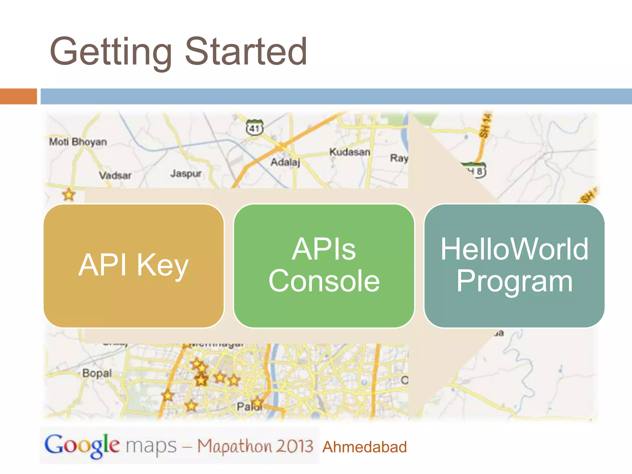
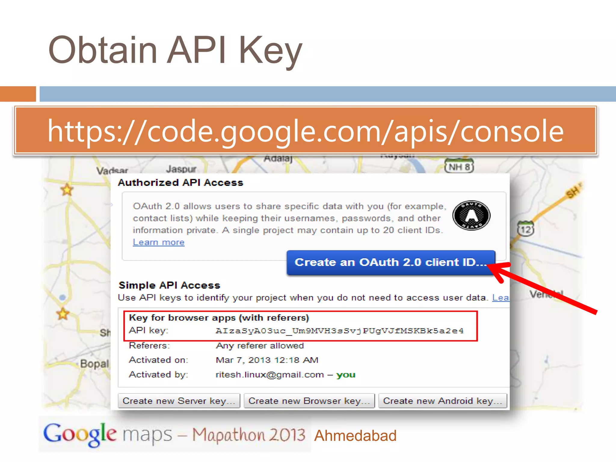
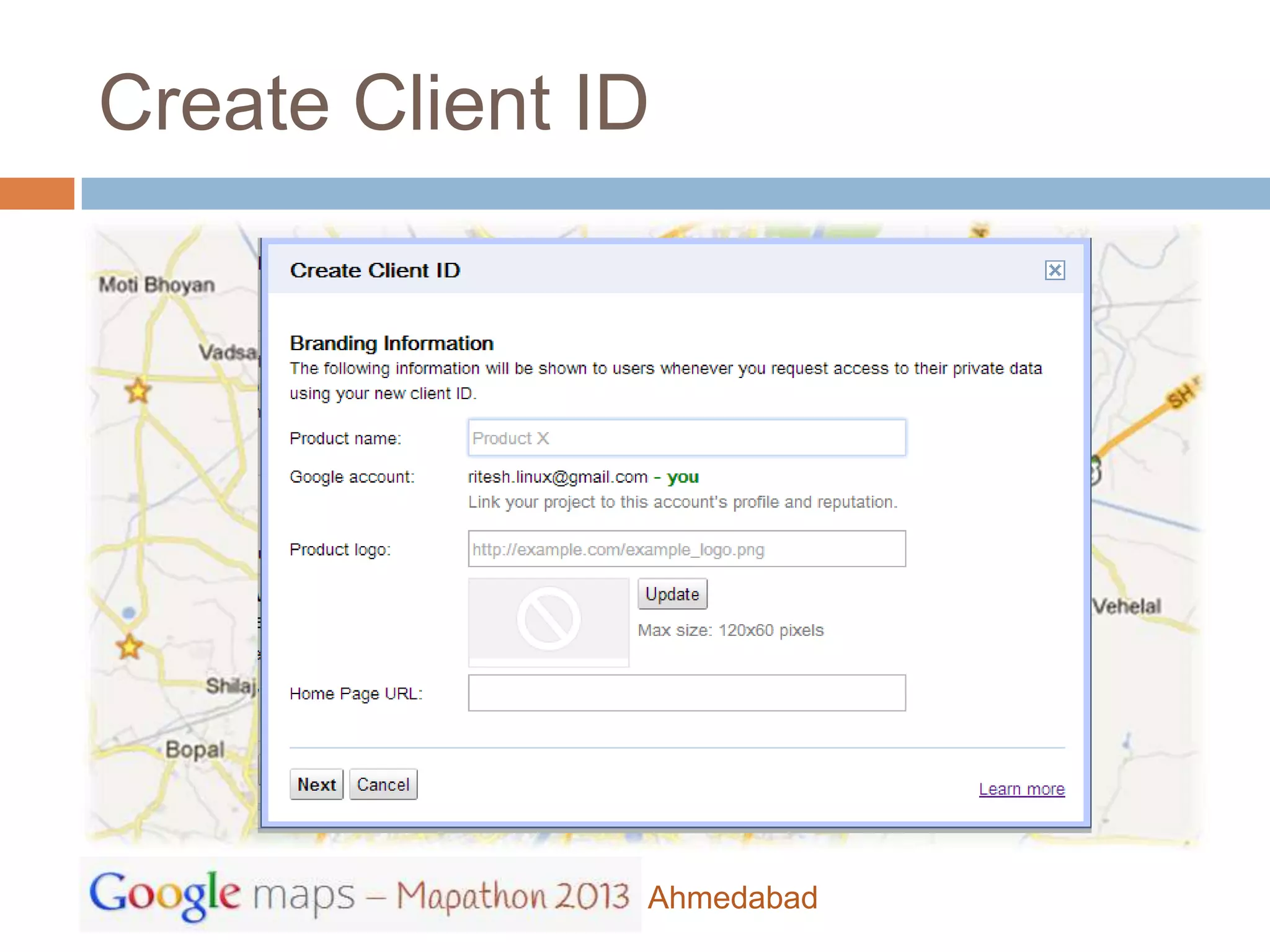
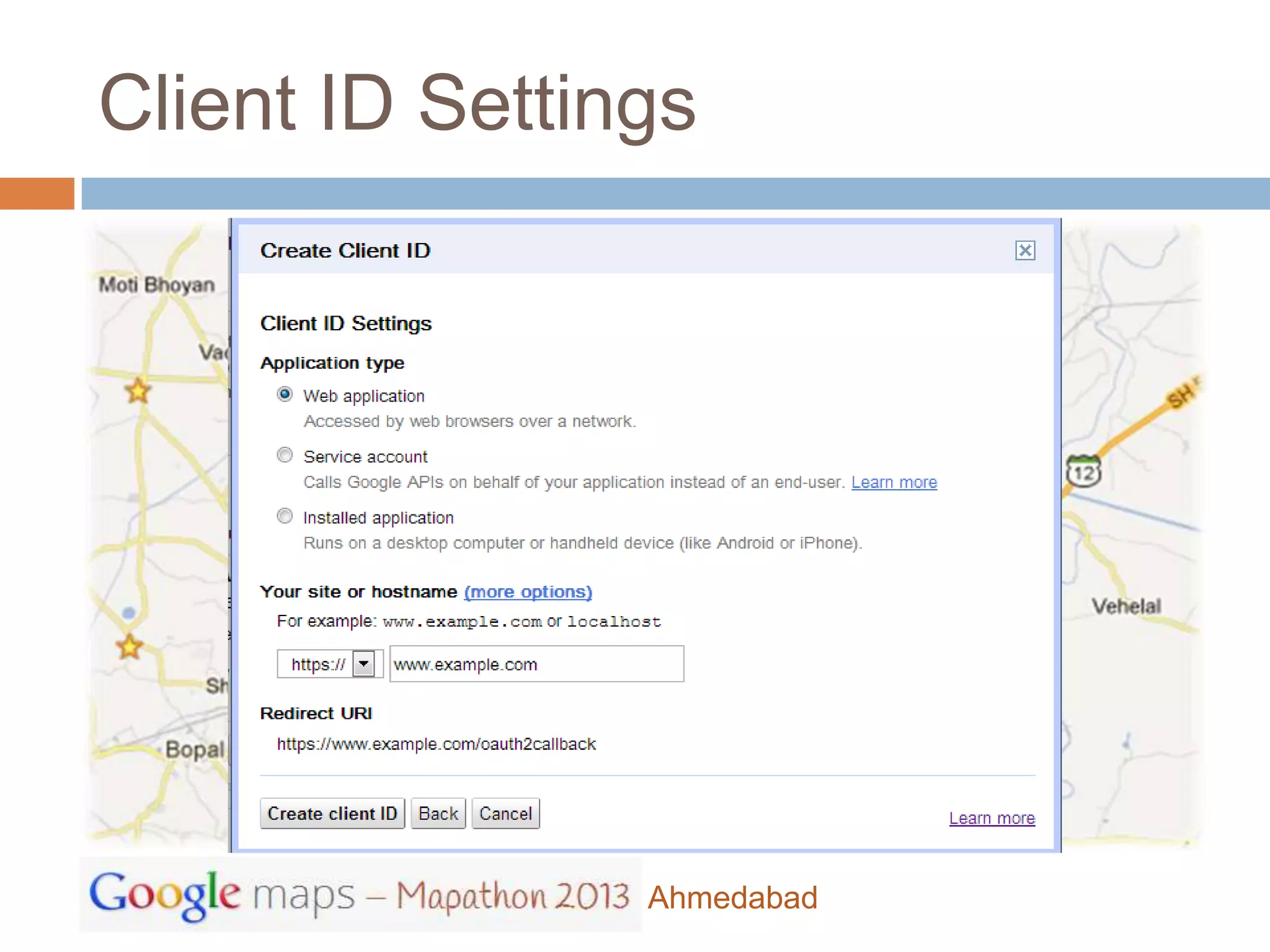
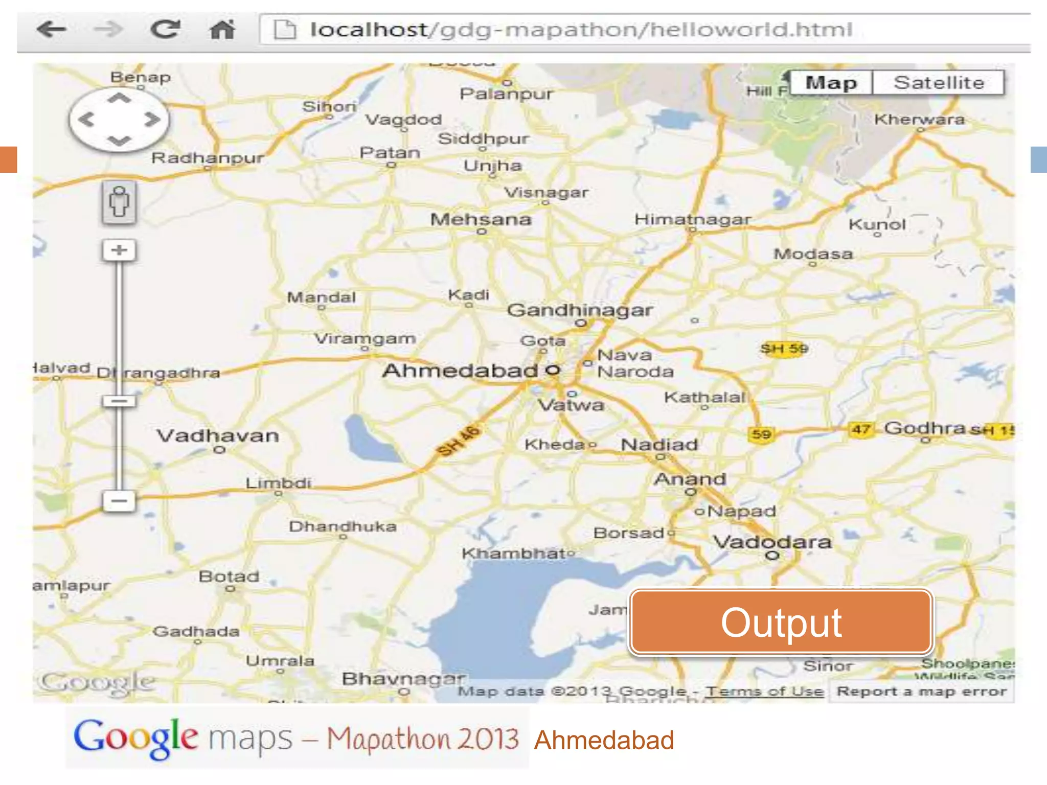
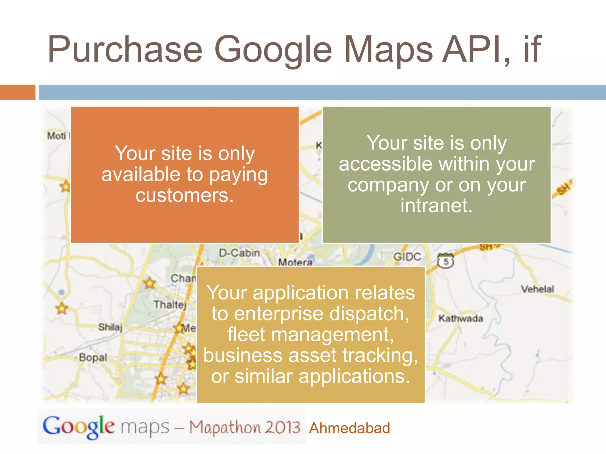
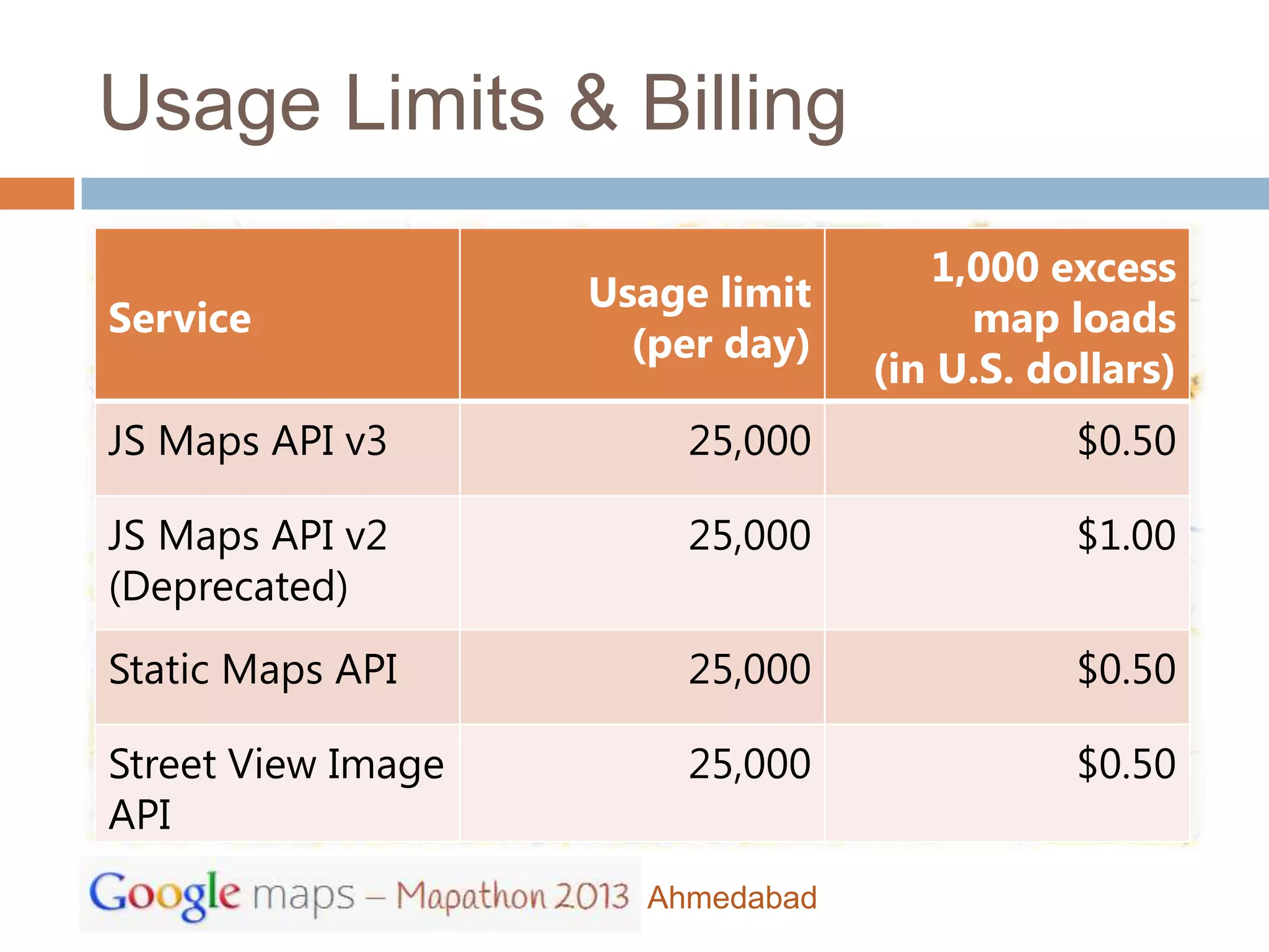
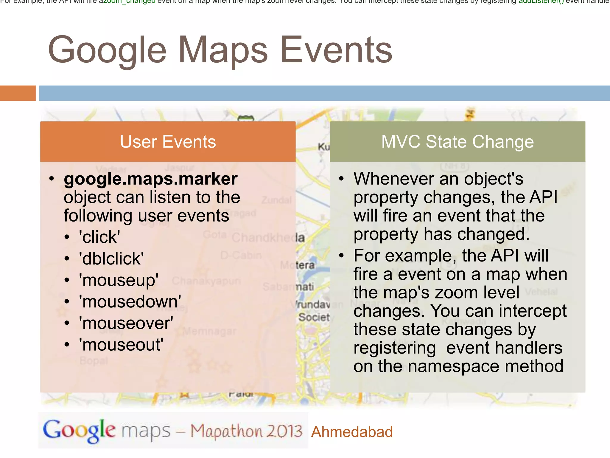
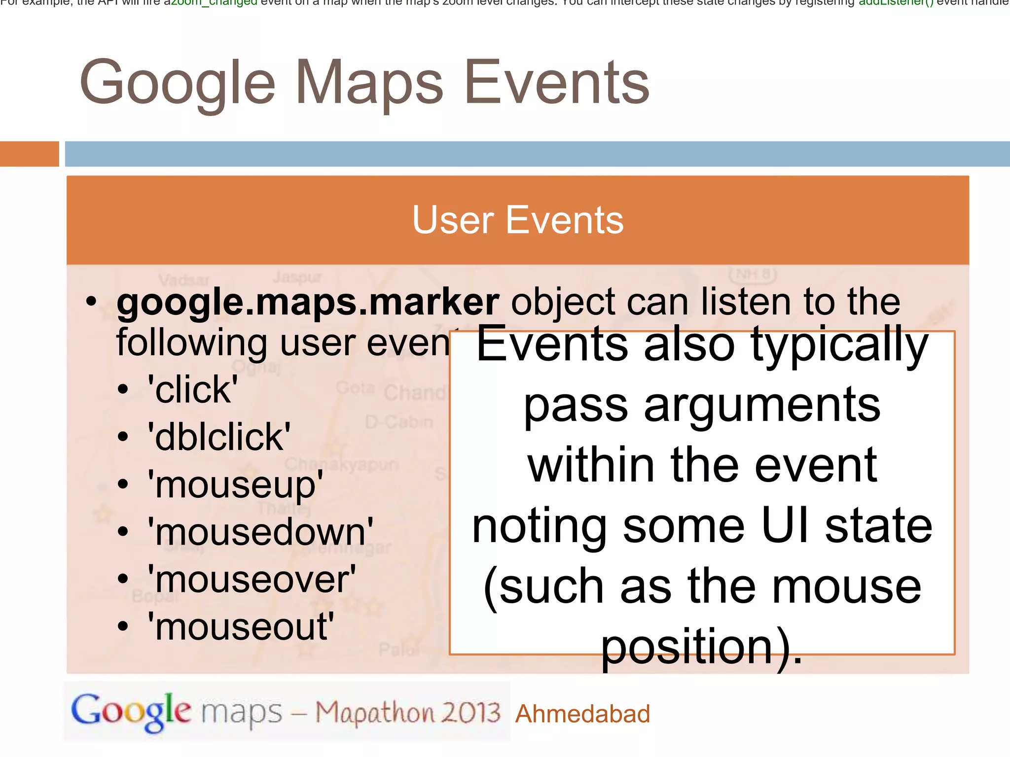
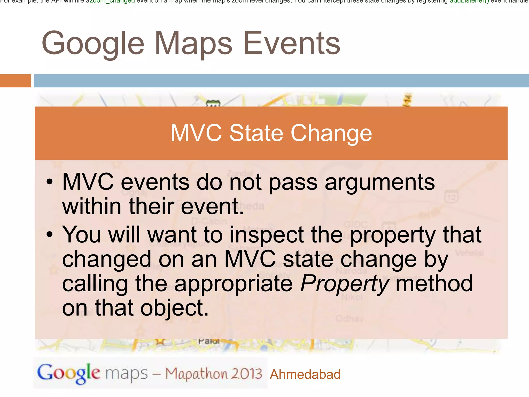
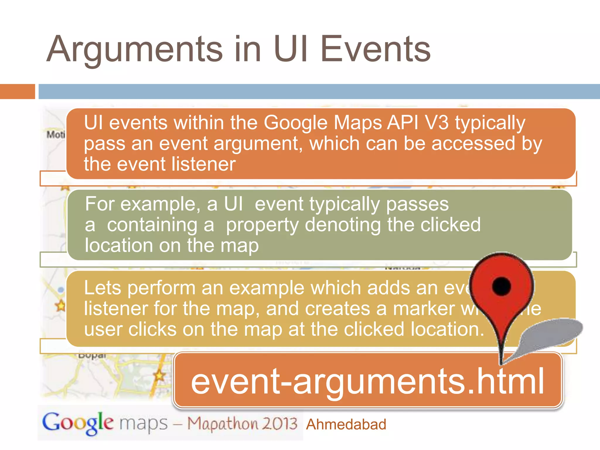
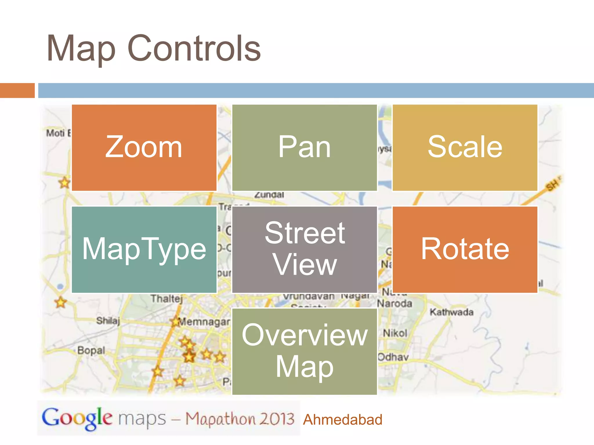
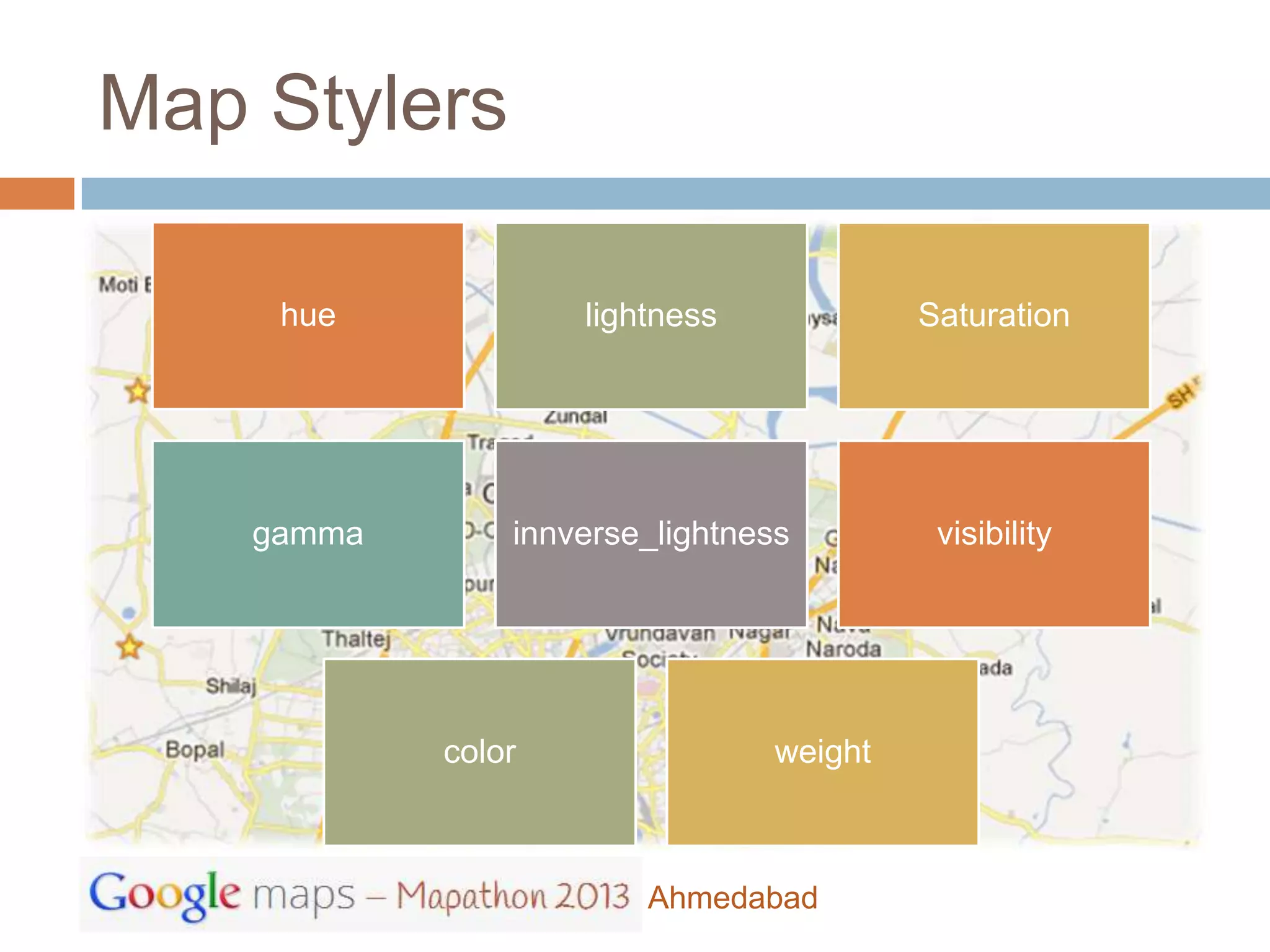
The document discusses various Google Maps APIs and concepts. It provides an overview of the Google Maps JavaScript API, how to obtain an API key, and includes a basic "HelloWorld" example to load a map. It also covers various map types, controls, overlays, layers, and styles. Code snippets are provided for working with events, controls, overlays and custom styles. The document recommends some examples to try out the different features.


