Downloaded 24 times


![Open Layers
Main supporter “MetaCarta”
object-oriented JavaScript library (using Prototype.js and Rico library)
Lets you add maps to any web page by embedding OpenLayer.js
no server-side dependencies
Easily reusable component
...similar to Google Maps and MSN Virtual Earth Web Mapping APIs
“Slippy map style”
Input Formats
Tile sources: Virtual Earth, Worldwind, Yahoo & Google Maps, WMS
Vector layer input: KaMap, MapServer, GeoRSS, WFS, [KML]
Standard Tools
Google Like zoom bar,
standard functions
like zoom in/out pan](https://image.slidesharecdn.com/locationbasedsolutions-mapsyourlocation-120225144104-phpapp01/85/Location-based-solutions-maps-your-location-12-320.jpg)


![Open Layers
Main supporter “MetaCarta”
object-oriented JavaScript library (using Prototype.js and Rico library)
Lets you add maps to any web page by embedding OpenLayer.js
no server-side dependencies
Easily reusable component
...similar to Google Maps and MSN Virtual Earth Web Mapping APIs
“Slippy map style”
Input Formats
Tile sources: Virtual Earth, Worldwind, Yahoo & Google Maps, WMS
Vector layer input: KaMap, MapServer, GeoRSS, WFS, [KML]
Standard Tools
Google Like zoom bar,
standard functions
like zoom in/out pan](https://image.slidesharecdn.com/locationbasedsolutions-mapsyourlocation-120225144104-phpapp01/75/Location-based-solutions-maps-your-location-12-2048.jpg)


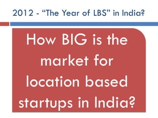
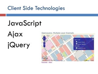
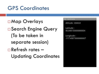
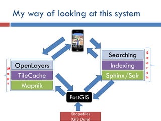
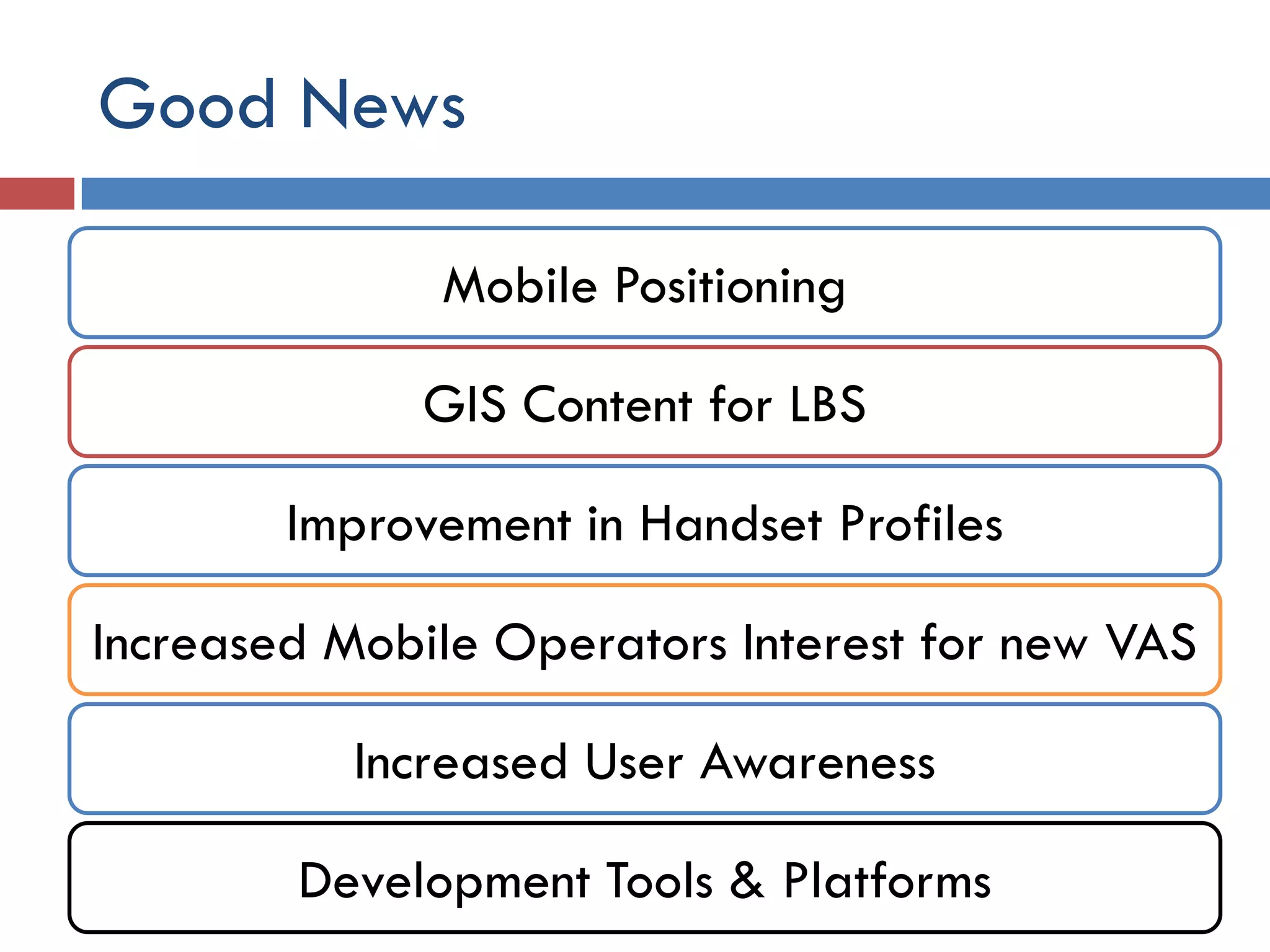
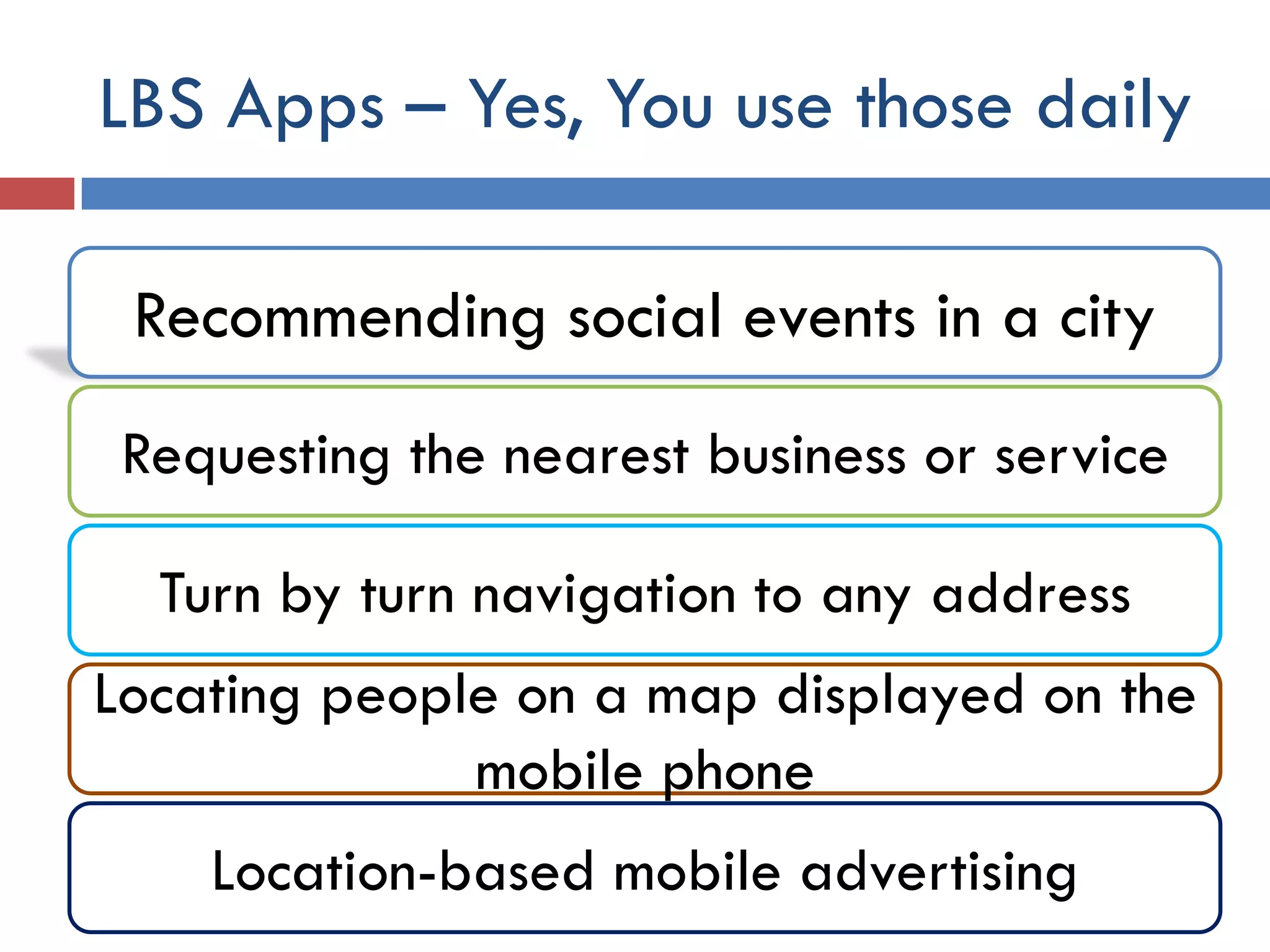
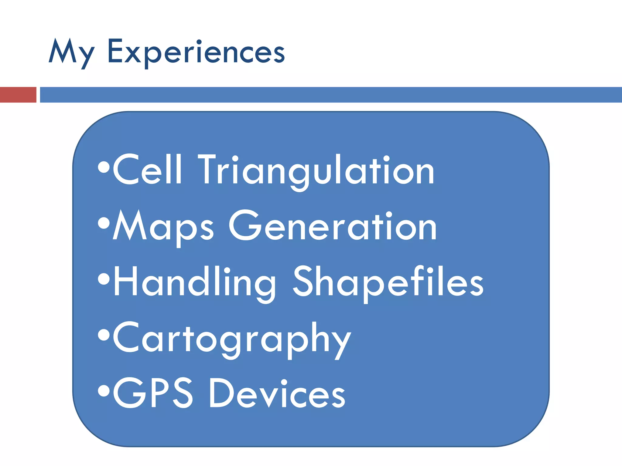
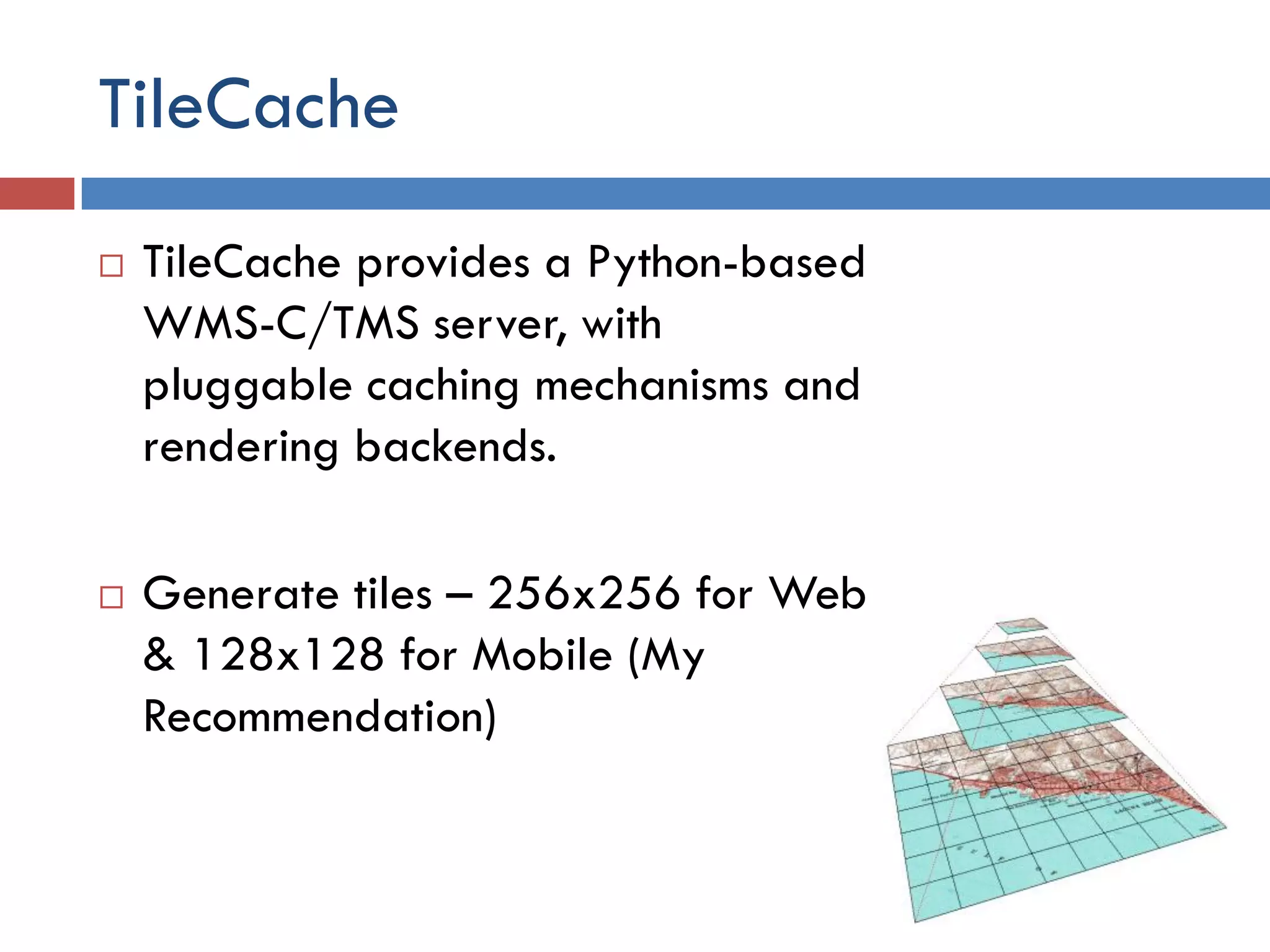
This document discusses location-based solutions and mapping technologies. It begins by asking how big the market is for location-based startups in India and lists several positive factors like improved mobile positioning, GIS content, and user awareness. It then gives examples of common location-based apps like navigation and advertising. The document outlines the author's experience with technologies like maps generation, GIS data, and GPS devices. It recommends using Mapnik or Mapserver for mapping and TileCache for tile generation. It also discusses using OpenLayers, JavaScript, Ajax and jQuery for client-side development. In closing, it diagrams the author's approach to building such a system using components like PostGIS, Shapefiles, Mapnik and TileCache


