Downloaded 155 times
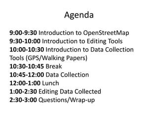


This document provides an agenda and introduction to OpenStreetMap (OSM). It outlines OSM as a collaborative project to create a free map of the world. The agenda covers introductions to OSM, editing tools, data collection tools, and hands-on mapping. It discusses OSM's history, statistics, the Humanitarian OSM Team, and examples of OSM's use in crisis response and developing countries. It also outlines how to download data, edit maps, and use OSM data in various applications.
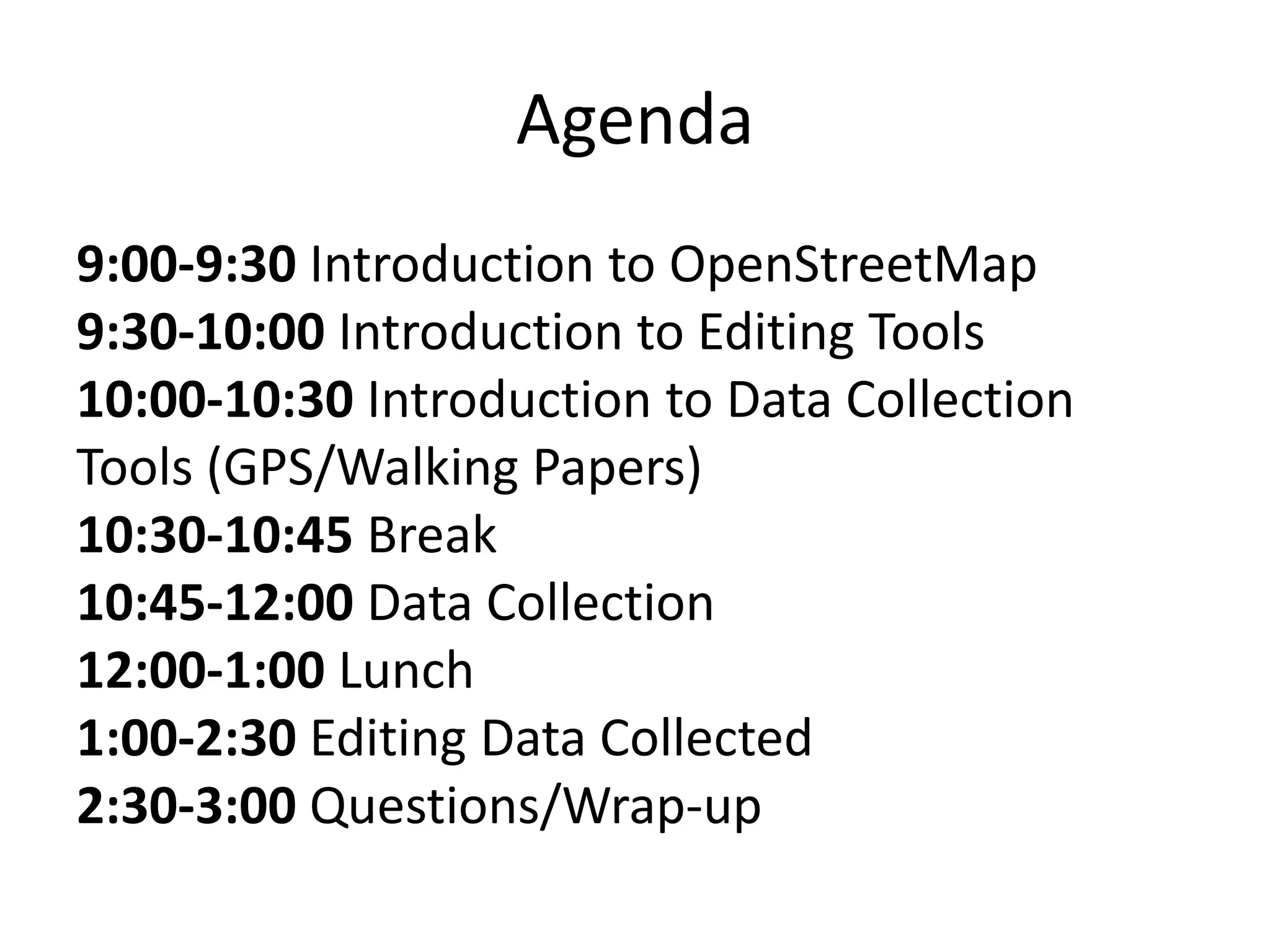
Presentation introduces OpenStreetMap and outlines agenda, covering topics from editing tools to data collection.
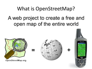
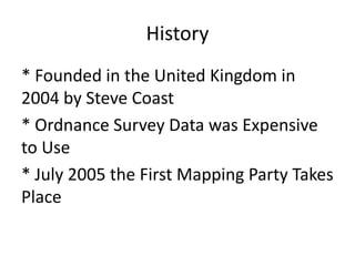
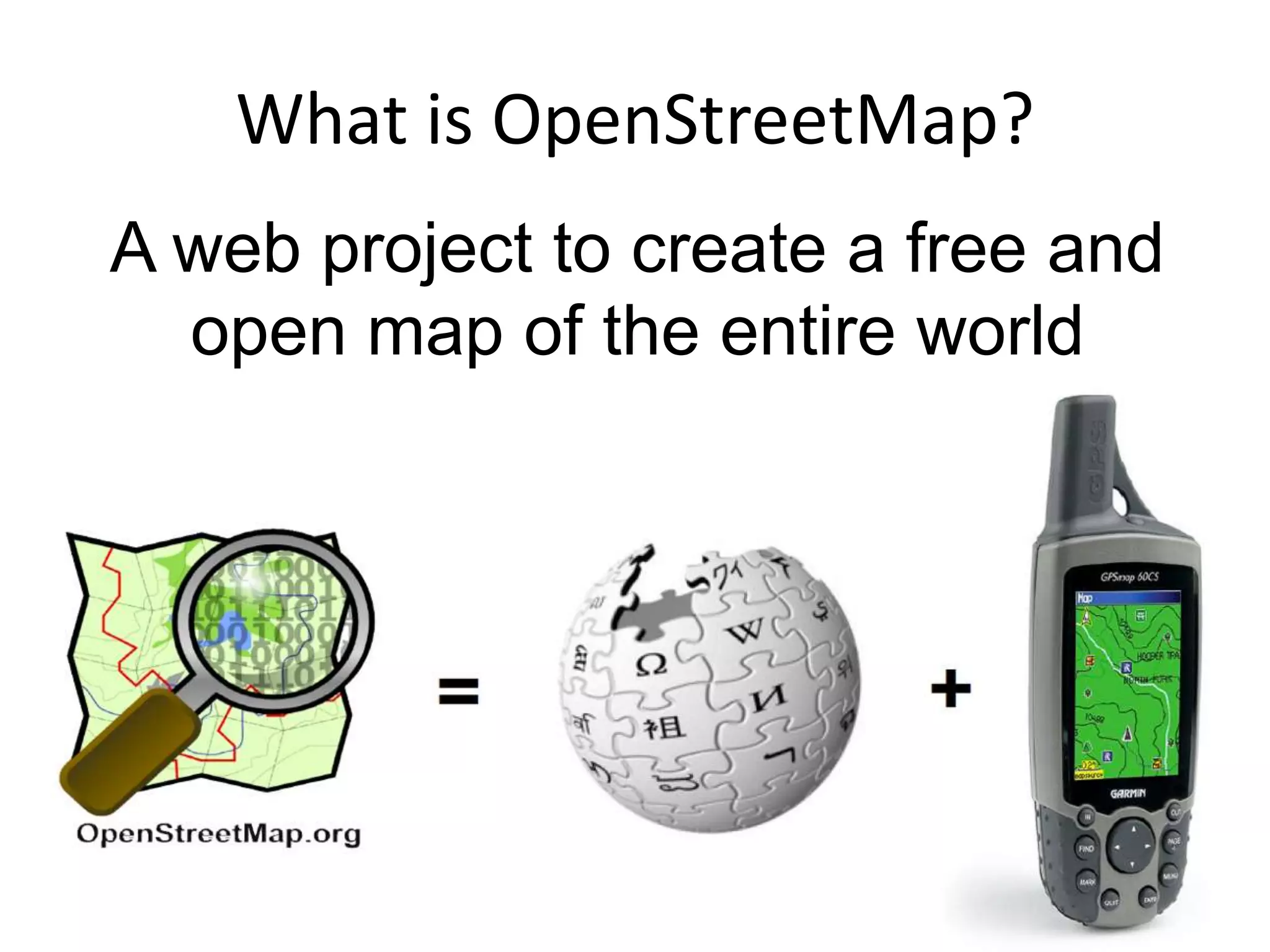
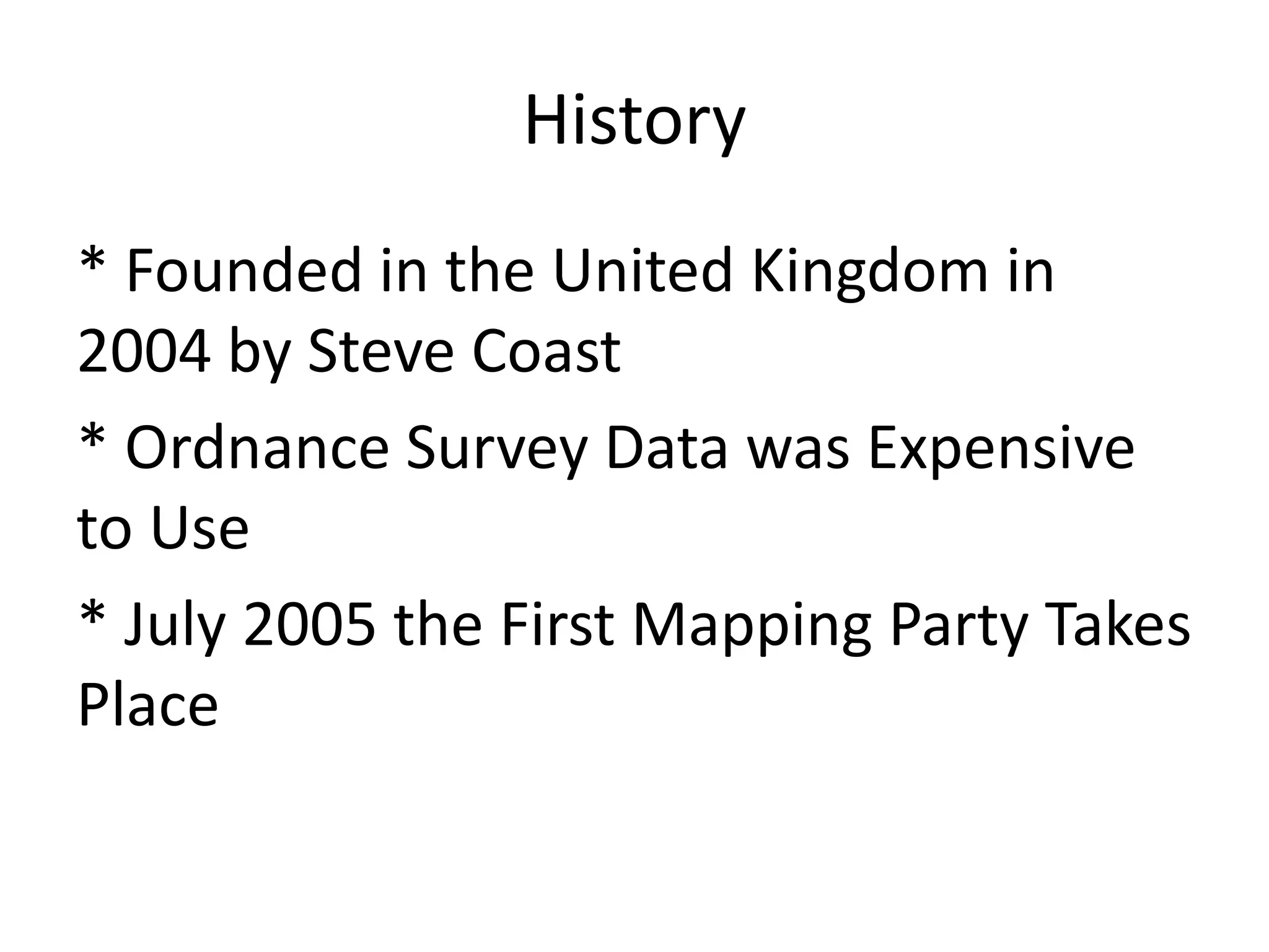
OpenStreetMap is a collaborative mapping project started in 2004 with a focus on open data.
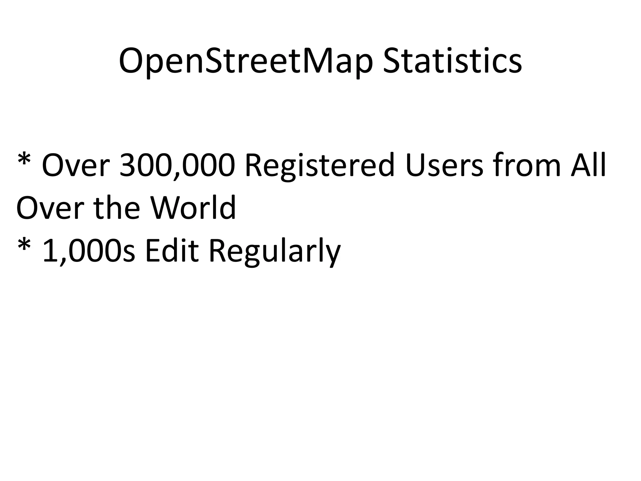
Statistics show over 300,000 registered users and thriving community of active editors.
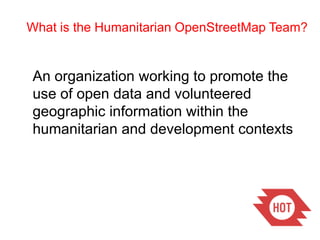
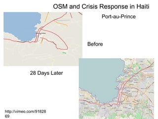
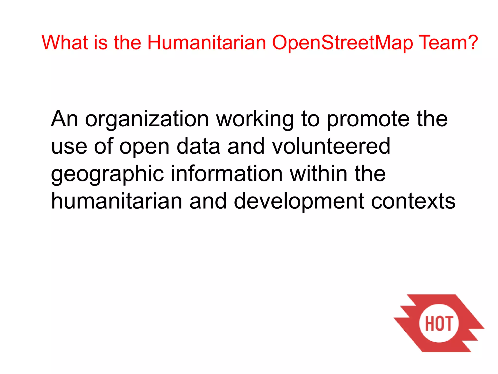
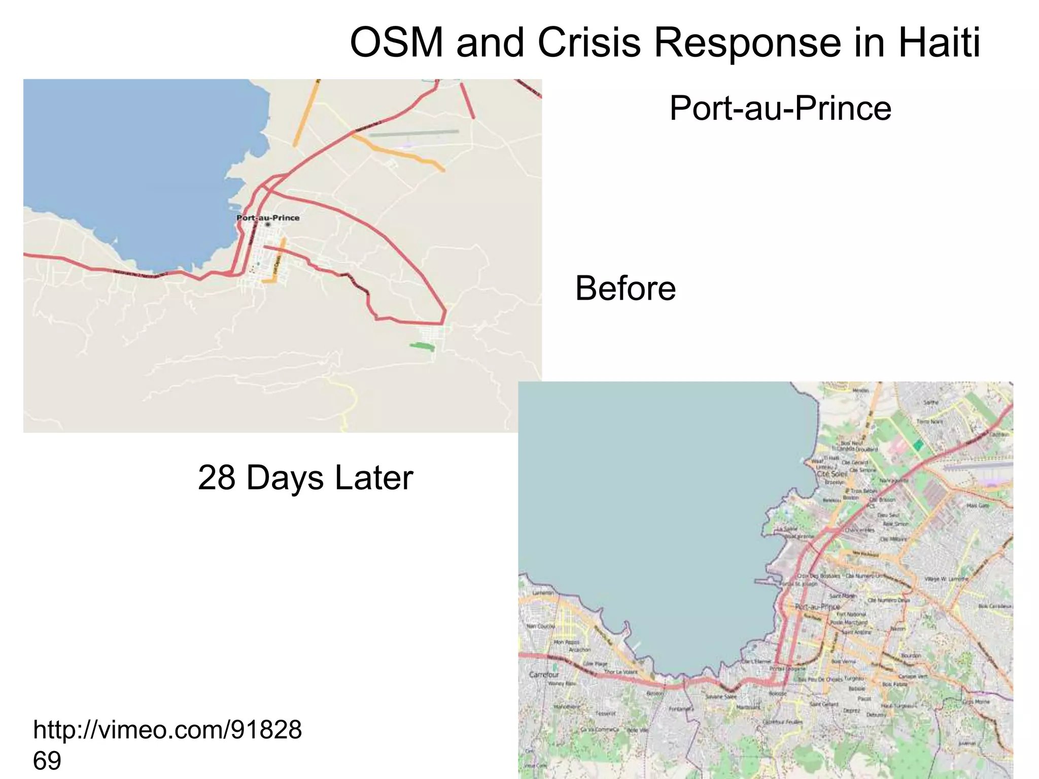
The Humanitarian OSM Team promotes open data for crisis response and humanitarian efforts.
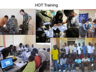
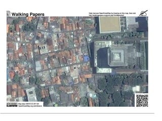
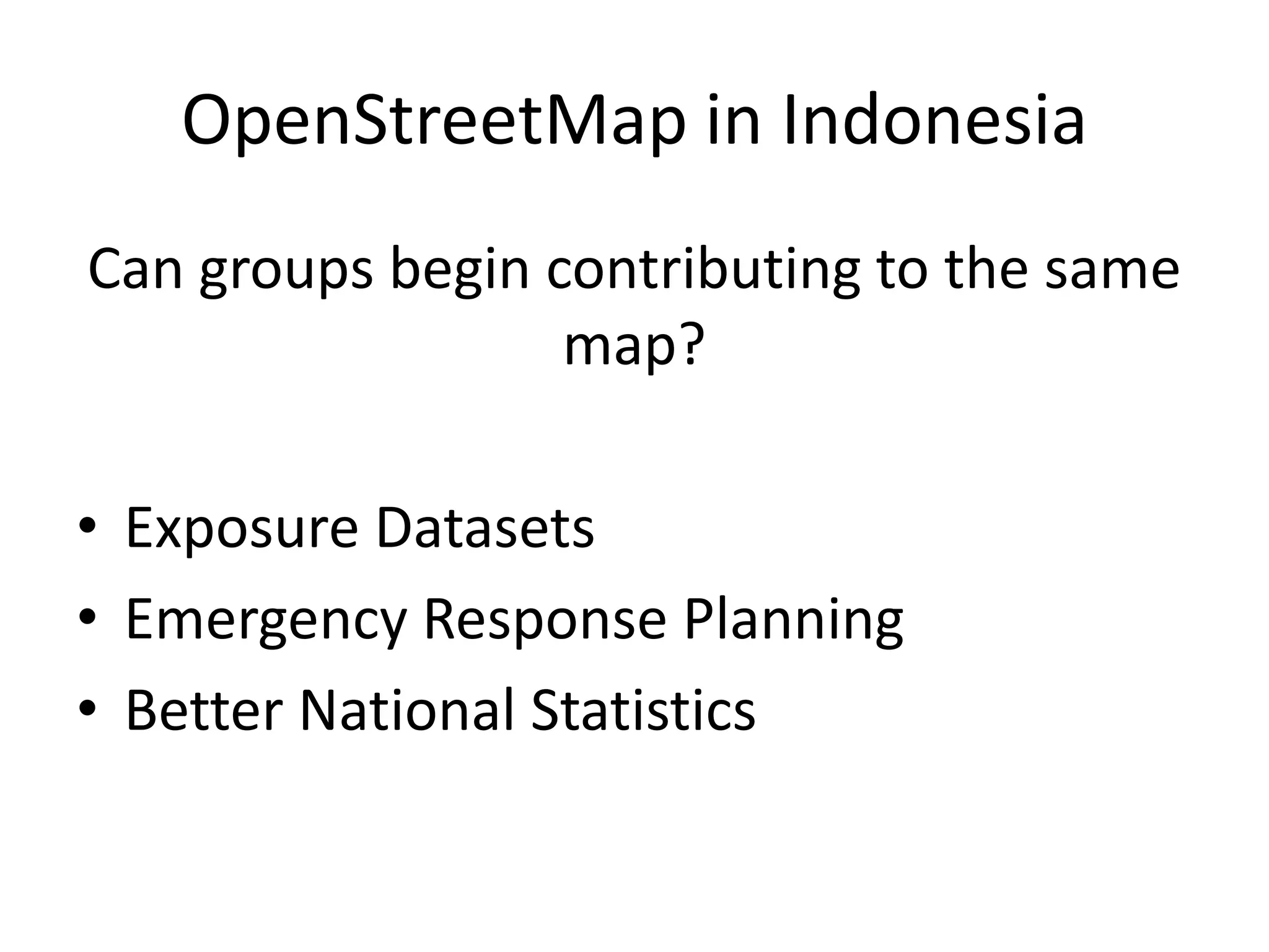
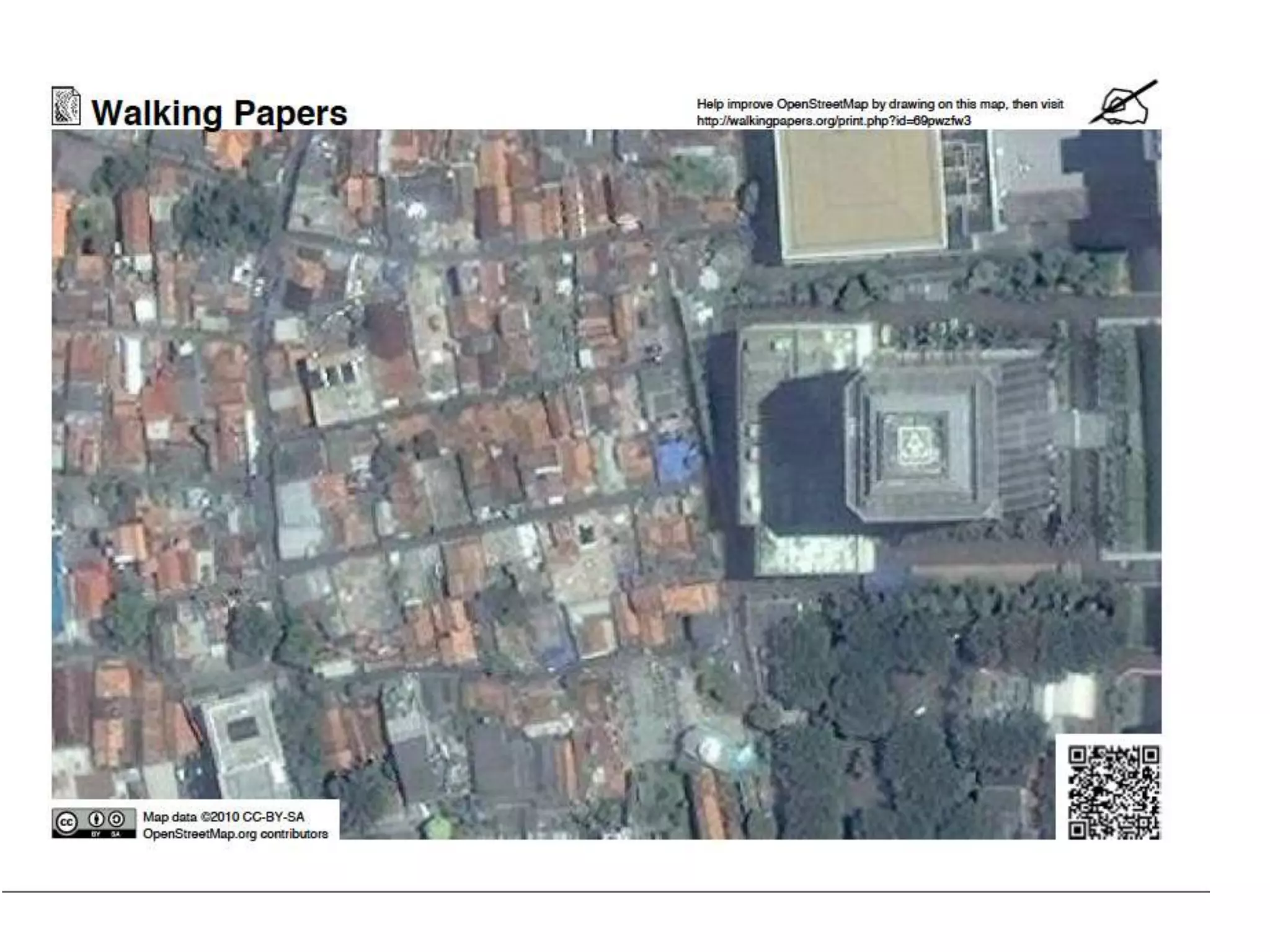
Training sessions and contributions to OSM in Indonesia for emergency response and data.
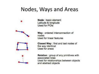
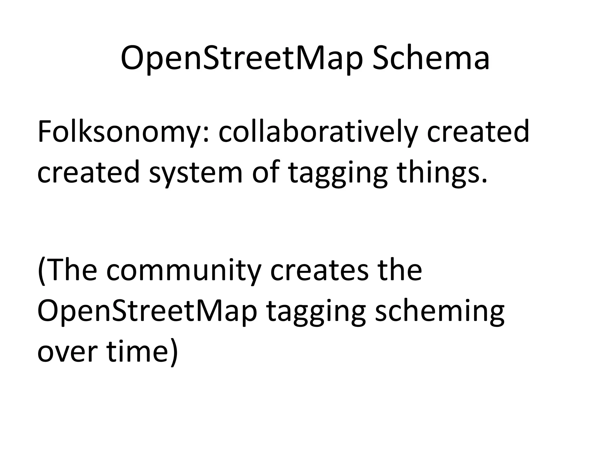
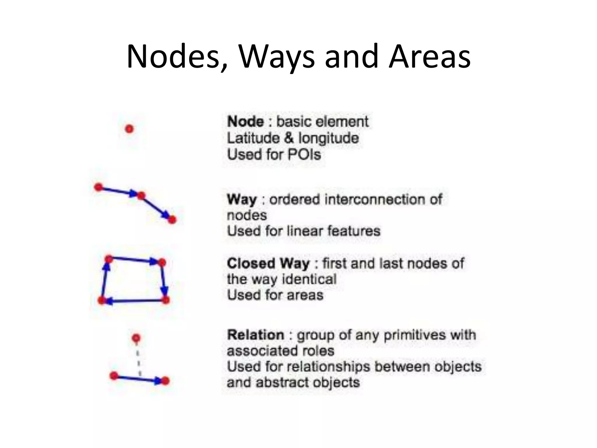
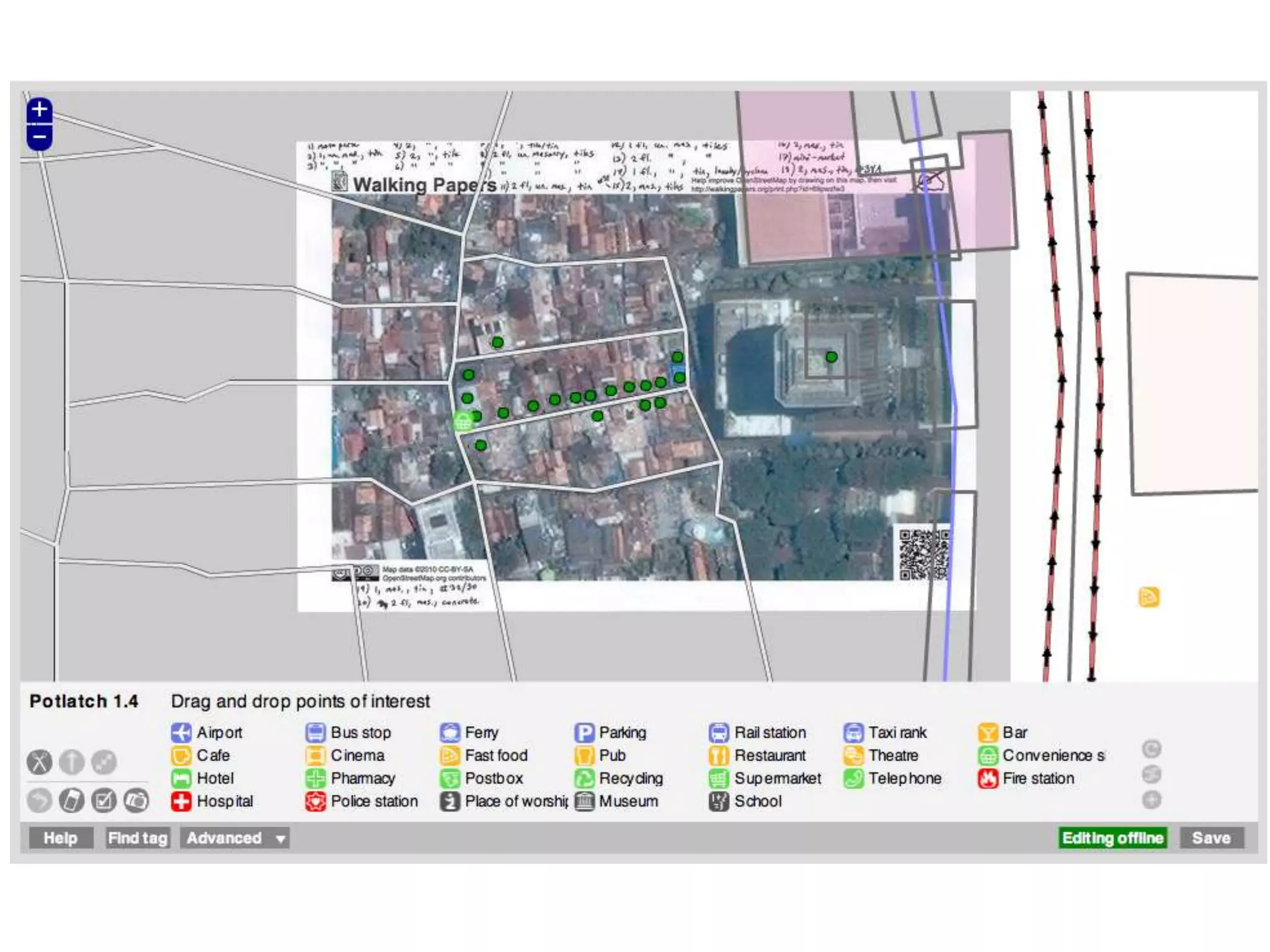
Discusses the schema of OpenStreetMap, including nodes, ways, and areas utilized in mapping.
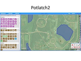
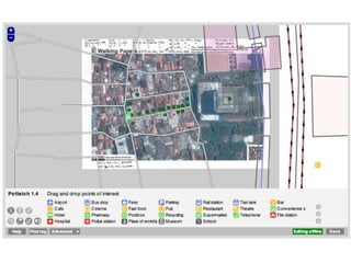
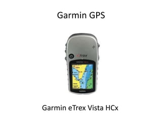
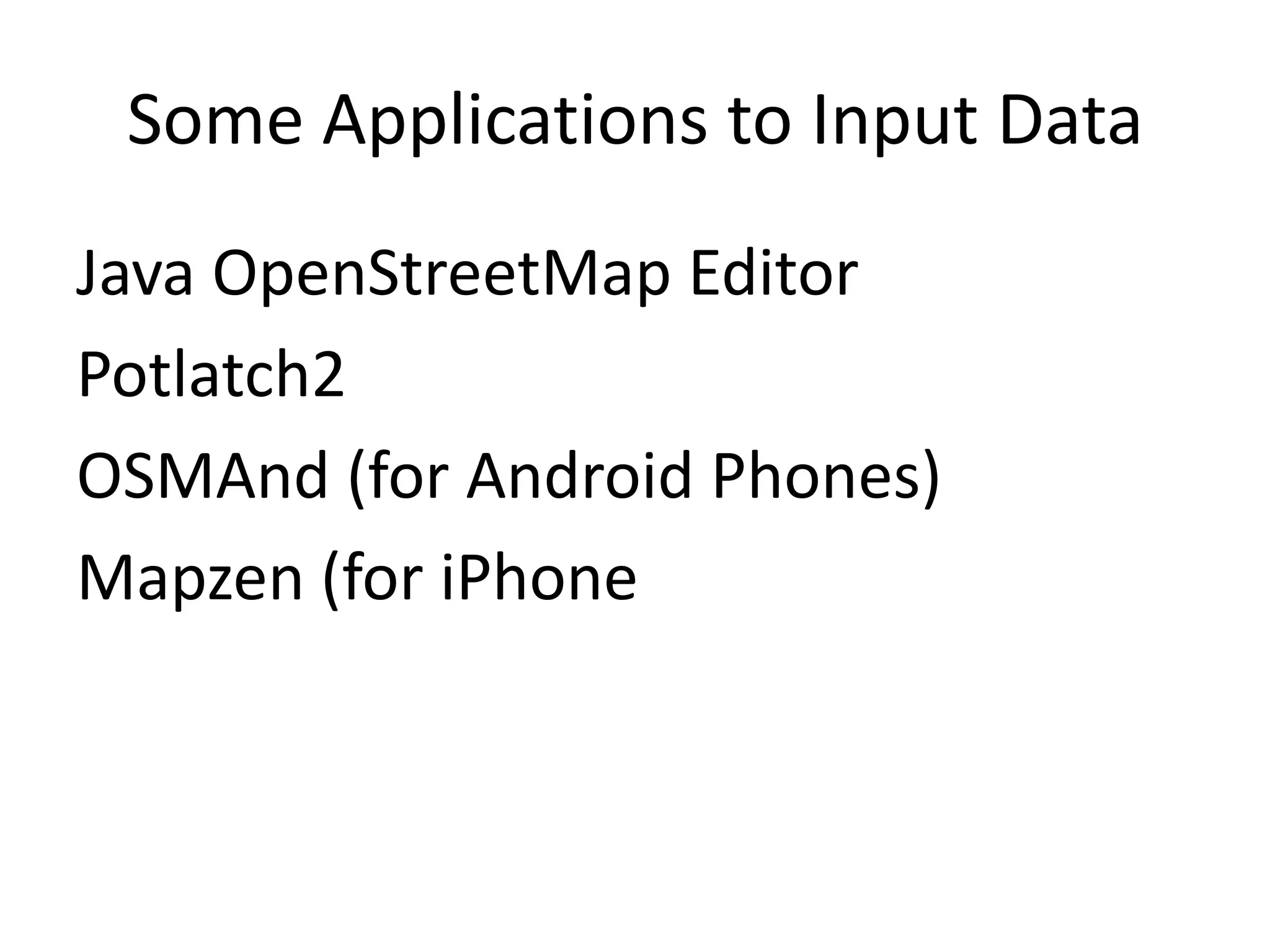
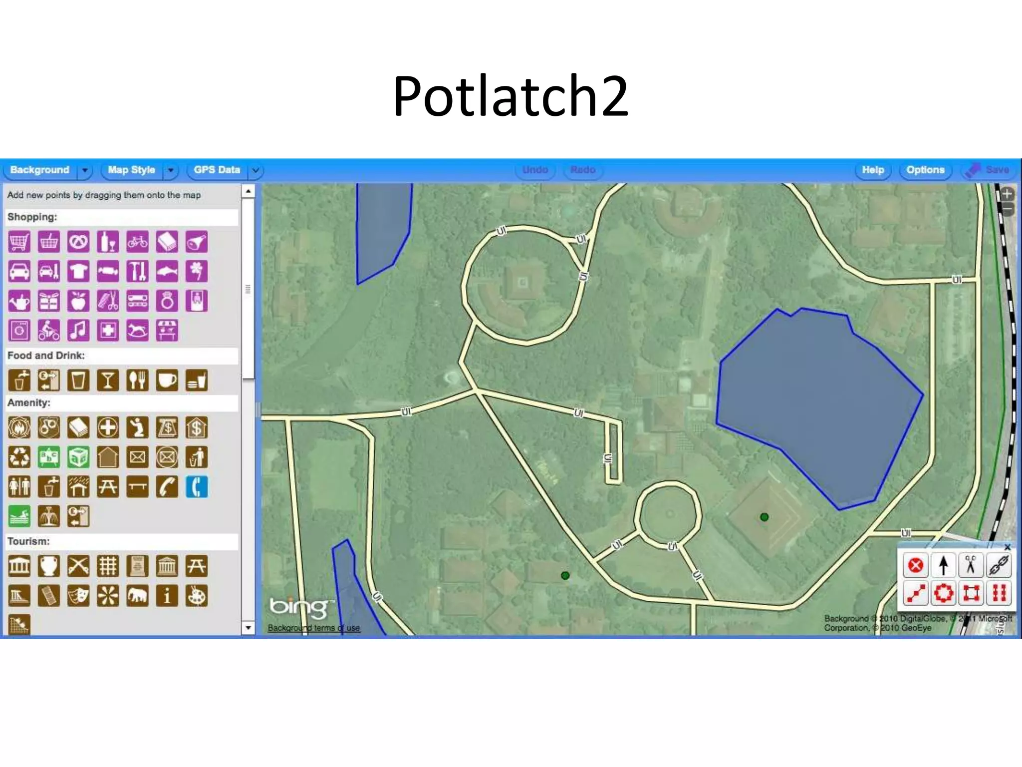
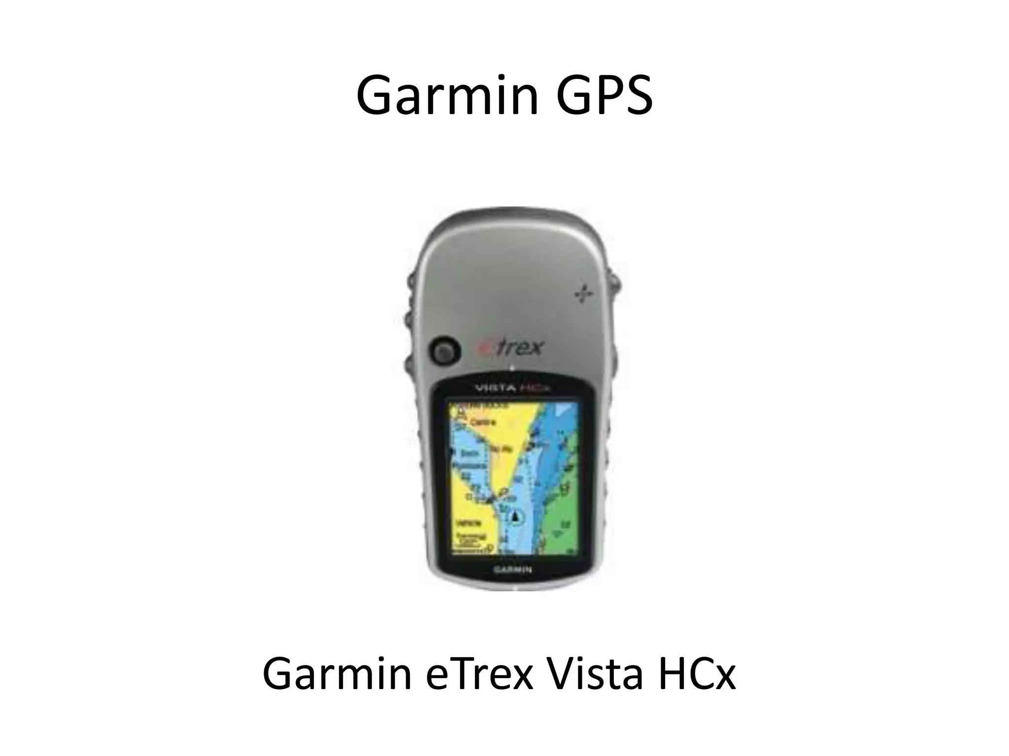
Introduces various tools for data input into OSM, including Java Editor and GPS integrations.
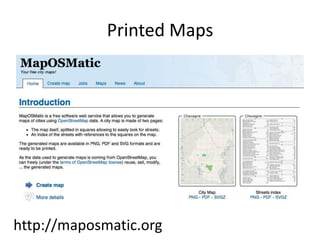
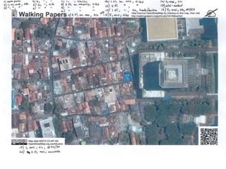
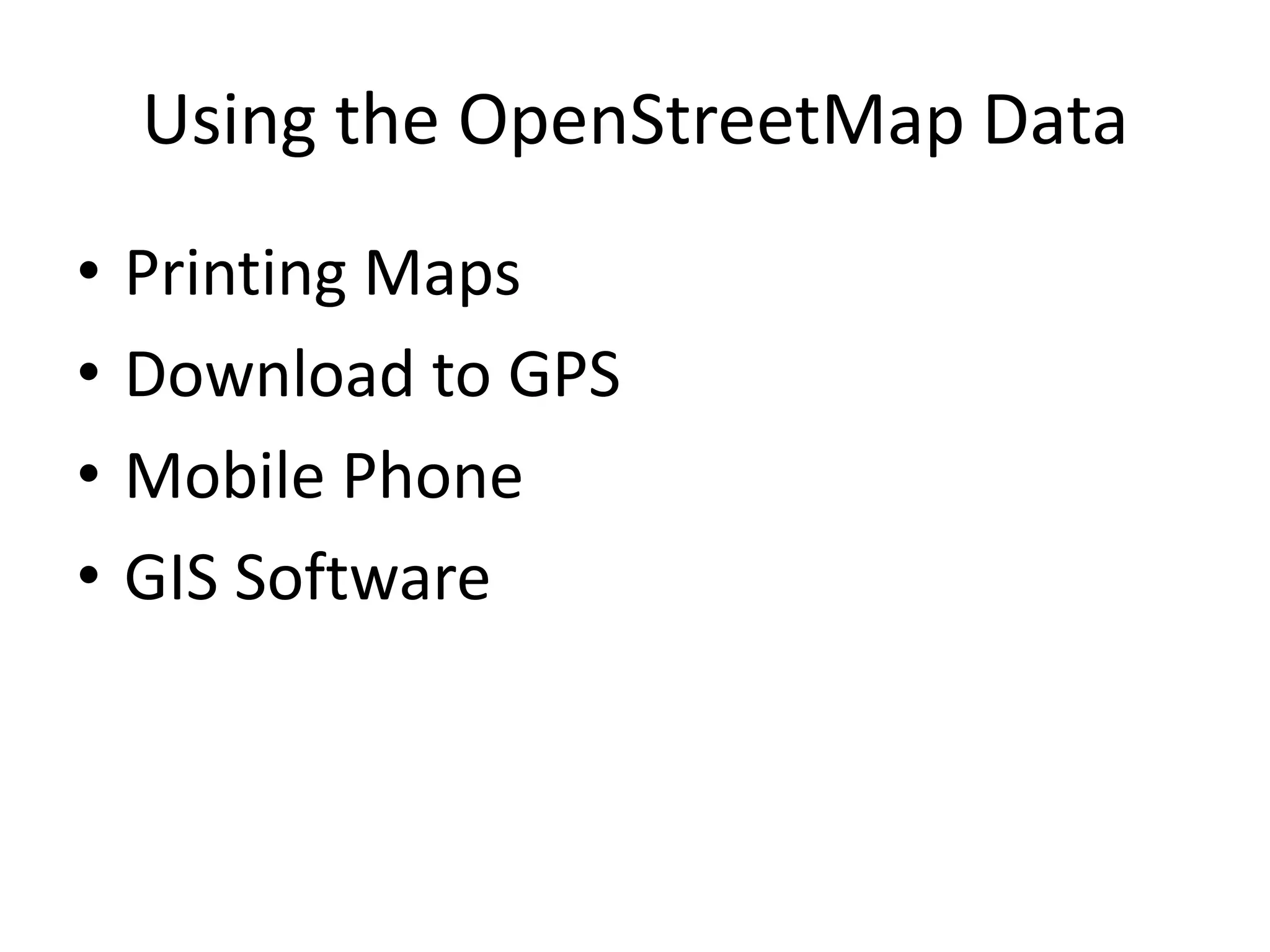
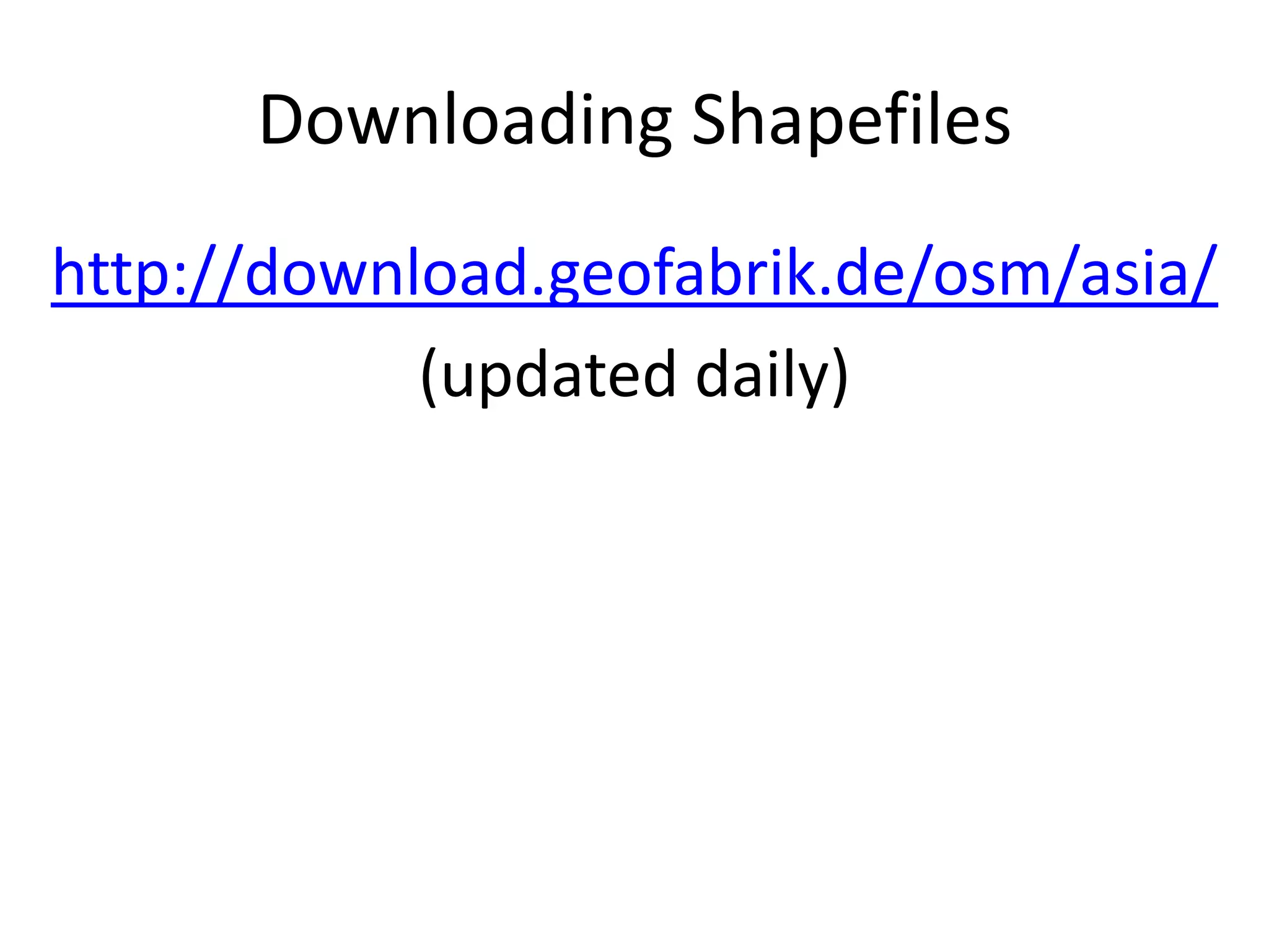
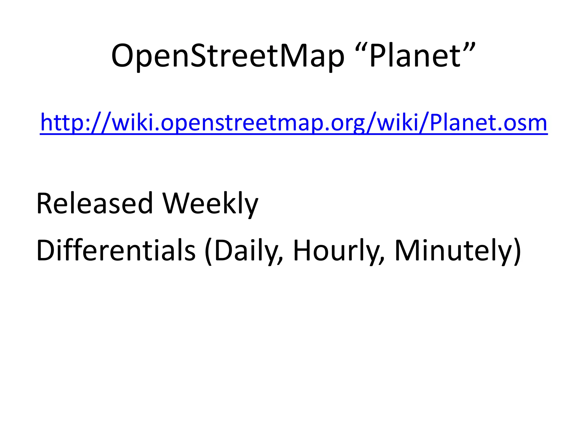
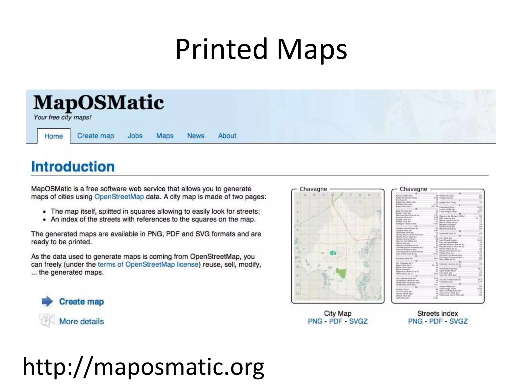
Details on accessing OpenStreetMap data, including downloading shapefiles and printed maps.
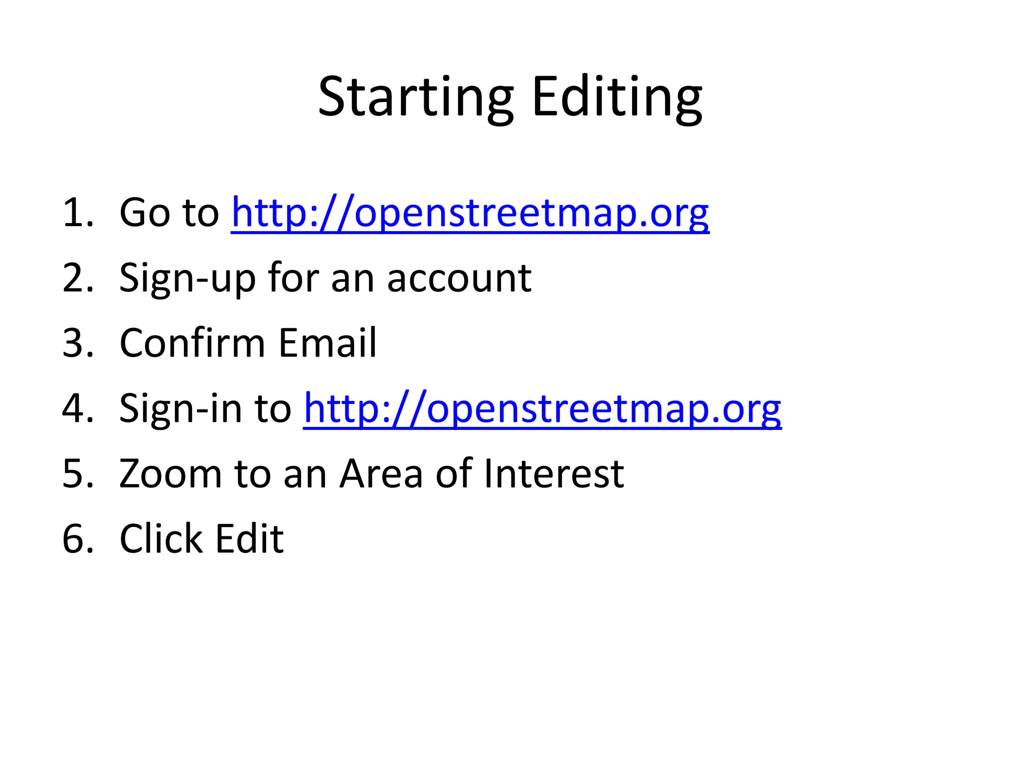
Step-by-step guide on signing up and starting to edit maps on OpenStreetMap.
Encourages mapping anything of interest with provided links for resources and contact for queries.


![UiPath Automation Suite Installation (Hands-On) [2/3]](https://cdn.slidesharecdn.com/ss_thumbnails/automationsuitecommunitysession2-251015095633-a6d862f1-thumbnail.jpg?width=600ounds&width=560&fit=bounds)
